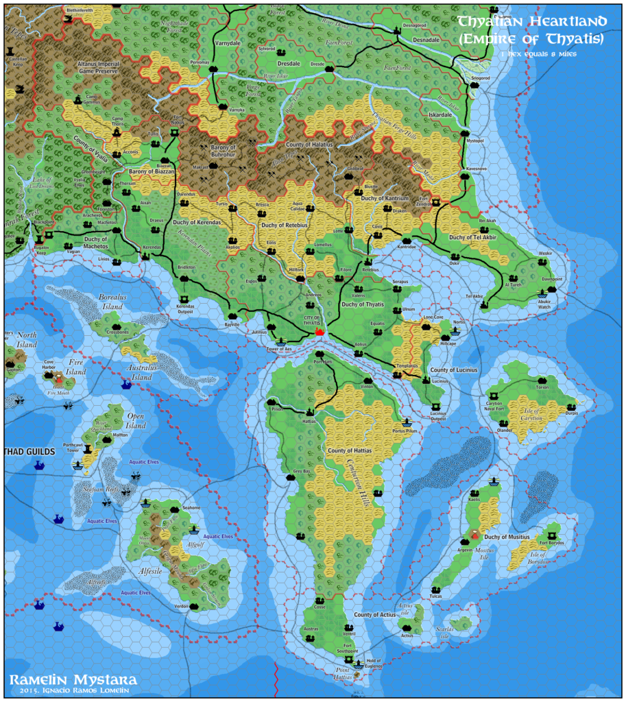
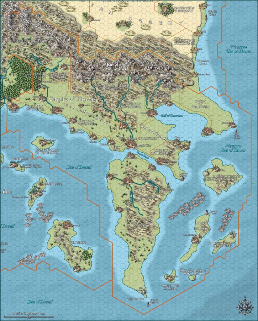
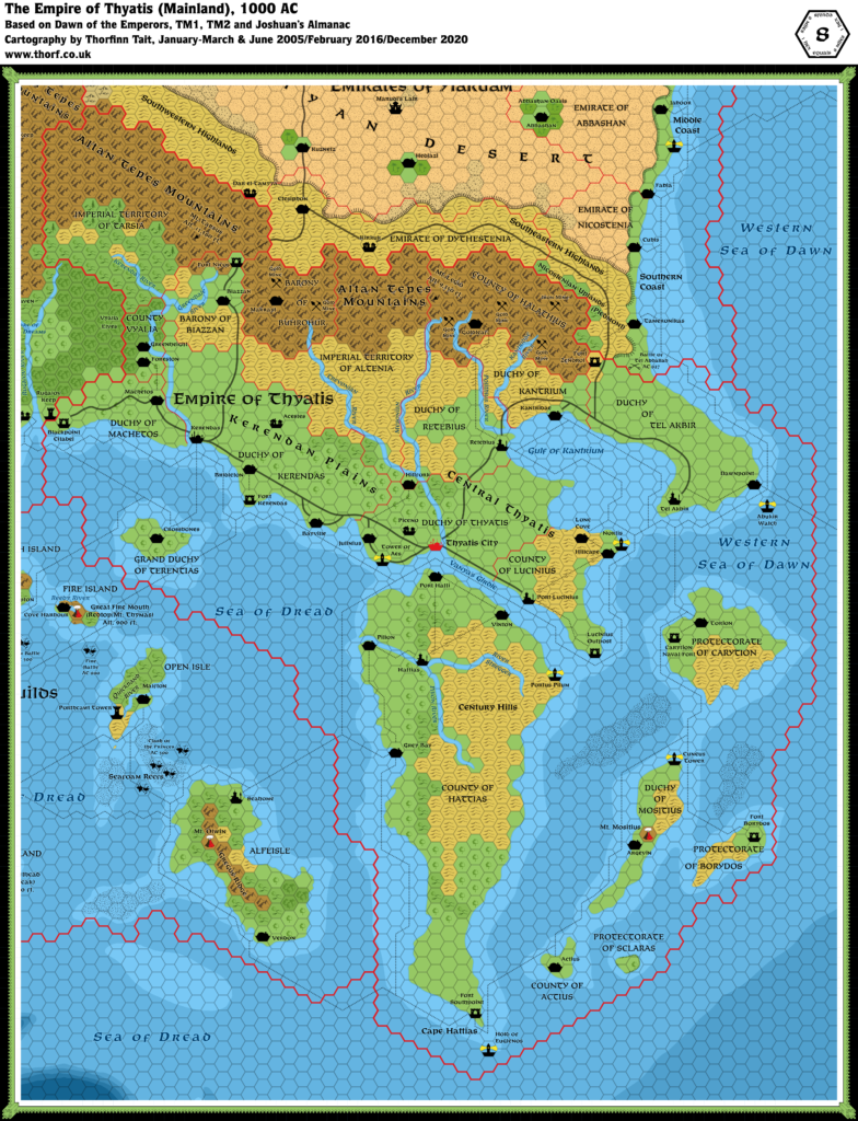
Thibault’s Thyatis, 8 miles per hex v2
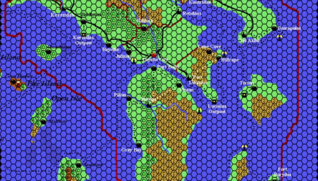
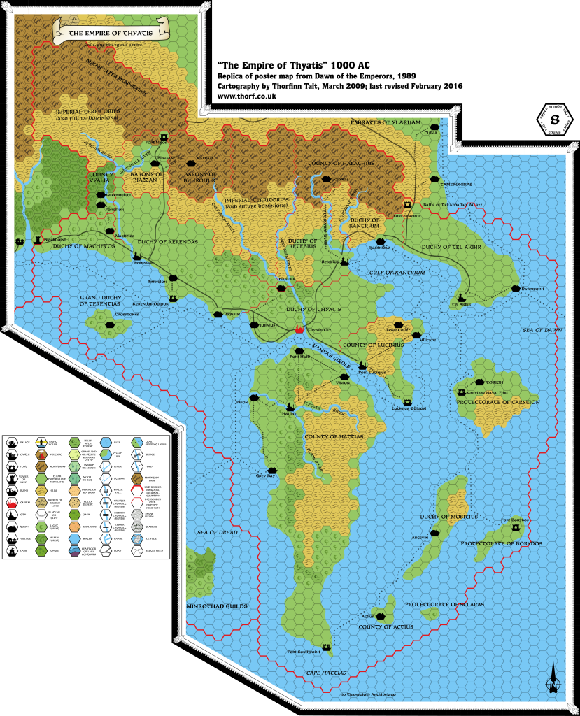
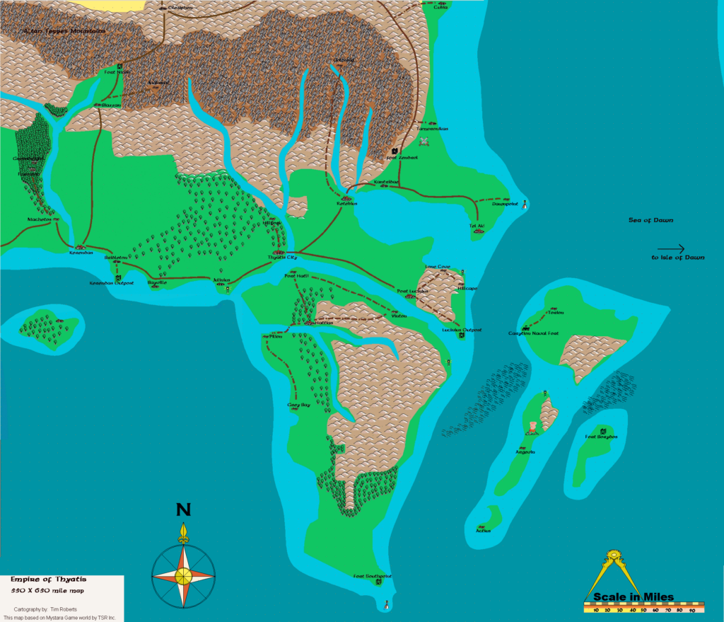
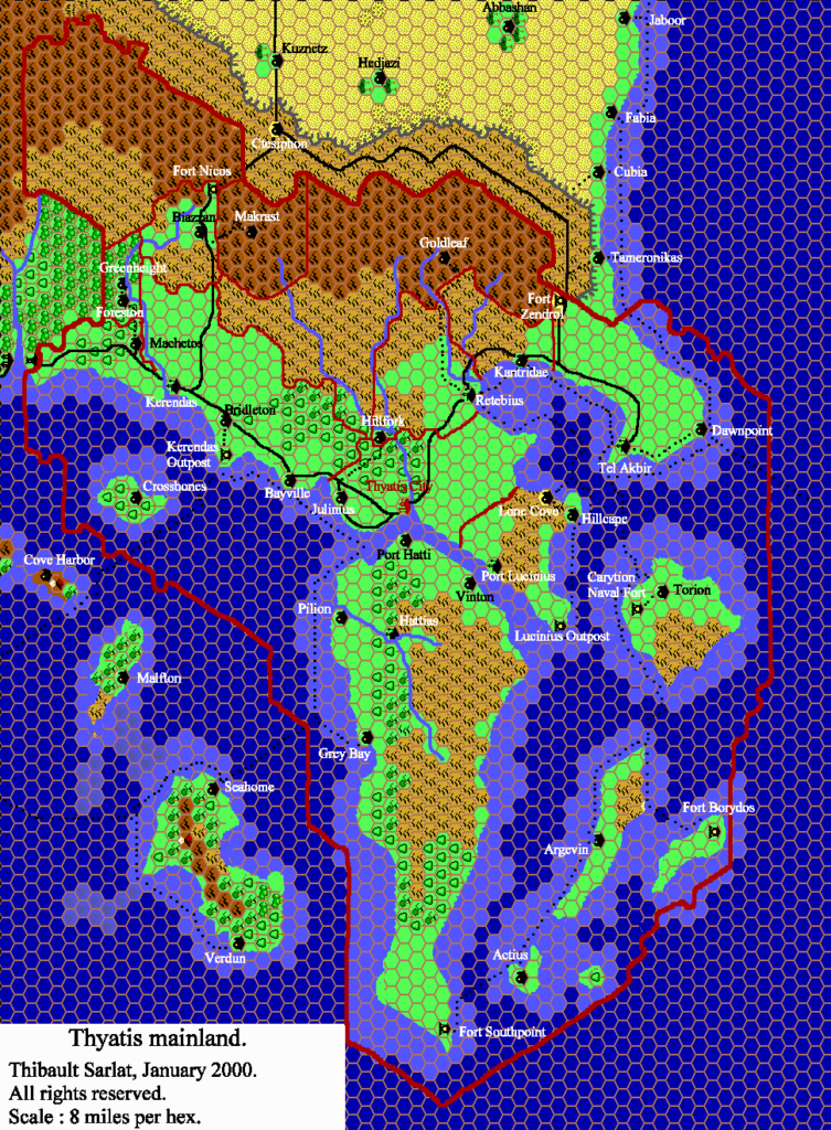
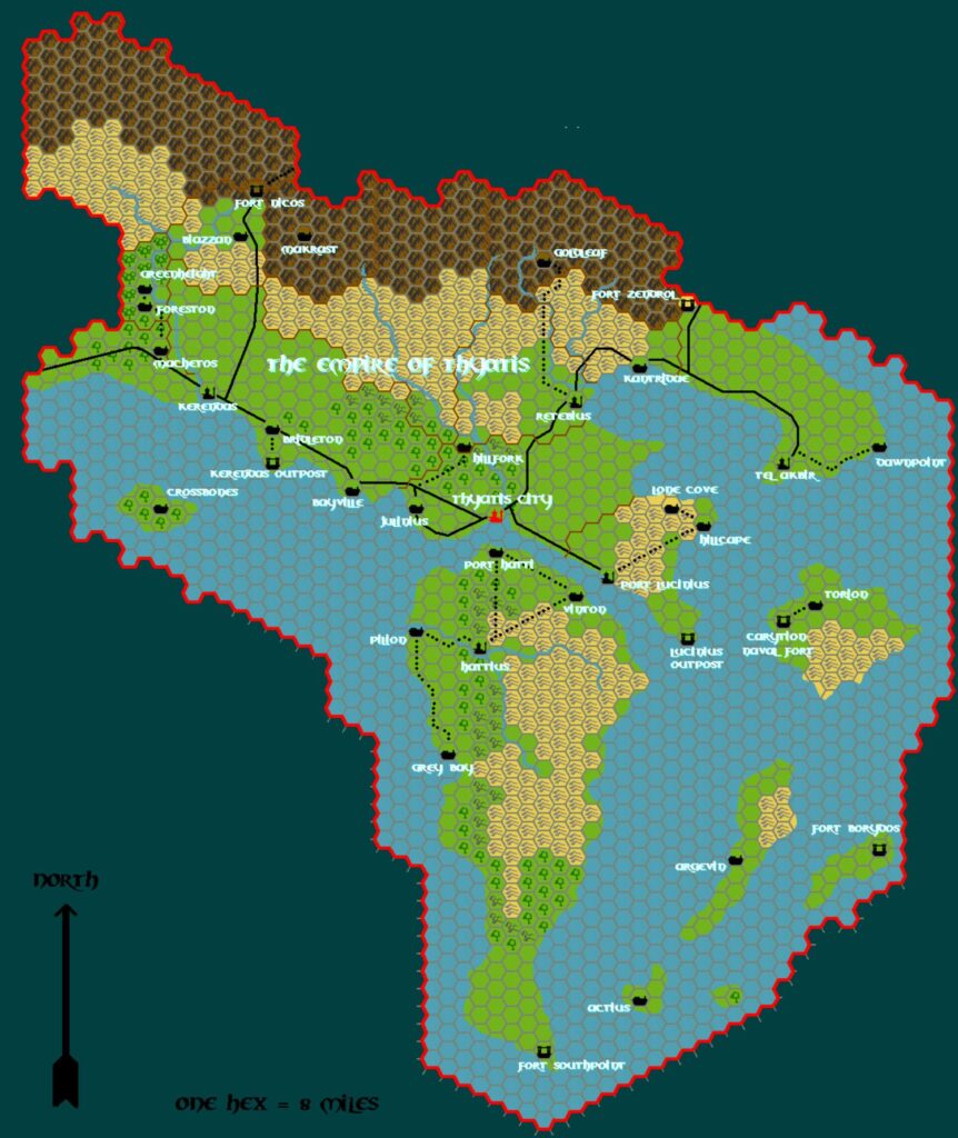
Thibault’s coverage of the Known World in mid 2000 continued with this revised map of Thyatis. The first version seems to have been missing the labels, although they were present by May 2001. Both of these versions are presented below.
Compared to Thibault’s last Thyatis map, not a great deal has changed. The biggest difference is the lack of sea depths in the new map, as apparently Thibault had already abandoned the idea by this point. On the other hand, this map seems to have a more complete set of trails and roads, as well as a few extra labels.
Fan-made Map by Thibault Sarlat (May 2001)
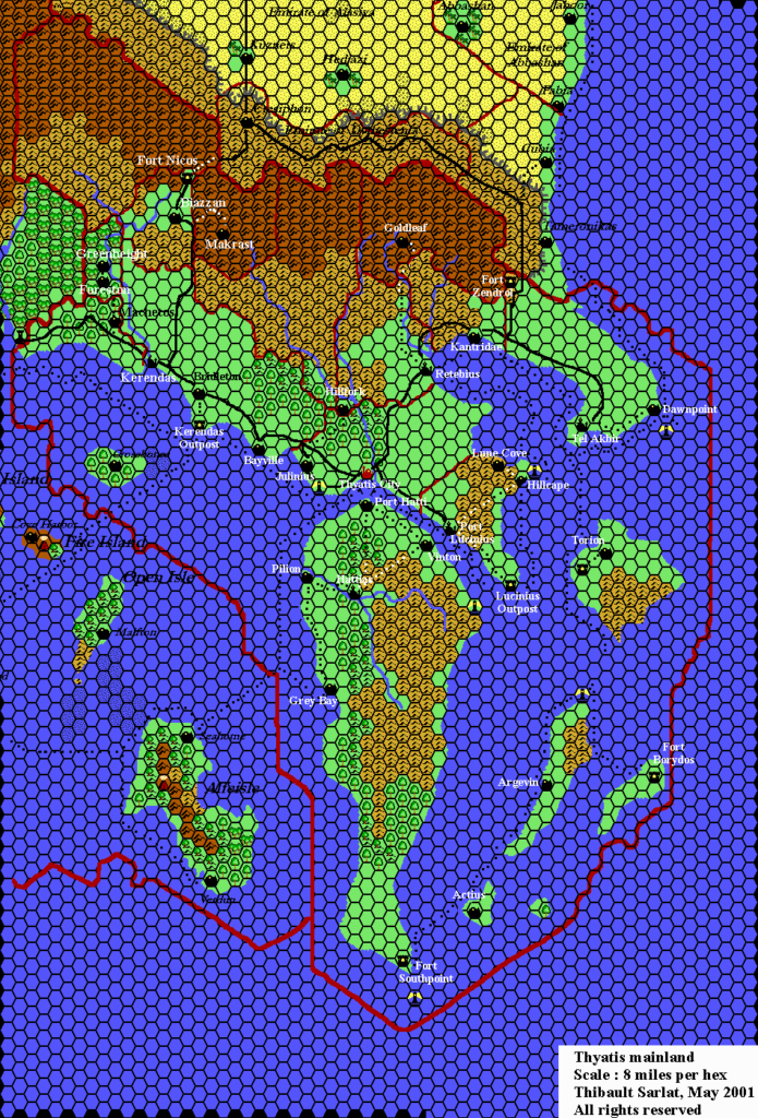
Fan-made Map by Thibault Sarlat (August 2000)
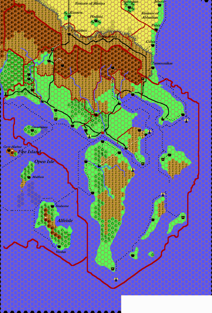
This is an original map created by one of Mystara’s excellent fan cartographers. For more information on the cartographer, including a gallery of all their maps, see also Appendix M: Mappers of Mystara.
Sources
- Dawn of the Emperors (1989) (PDF at DriveThruRPG)
- TM1 The Western Countries (1989)
References
- All of Thibault’s maps at the Atlas of Mystara
- Thibault’s entry in Appendix M: Mappers of Mystara (upcoming)
- Thibault’s author page at the Vaults of Pandius
Chronological Analysis
This is a fan-made map. It was published in August 2000 and revised in May 2001. The updated Atlas version of this map is Thyatis, 8 miles per hex. See also Appendix C for annual chronological snapshots of the area. For the full context of this map in Mystara’s publication history, see the upcoming Let’s Map Mystara 2000 and 2001. (Please note that it may be some time before the project reaches this point.)
The following lists are from the Let’s Map Mystara project. Additions are new features, introduced in this map. Revisions are changes to previously-introduced features. Hex Art & Fonts track design elements. Finally, Textual Additions are potential features found in the related text. In most cases, the Atlas adopts these textual additions into updated and chronological maps.
Coming Soon

