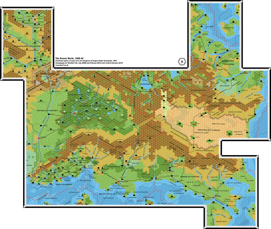
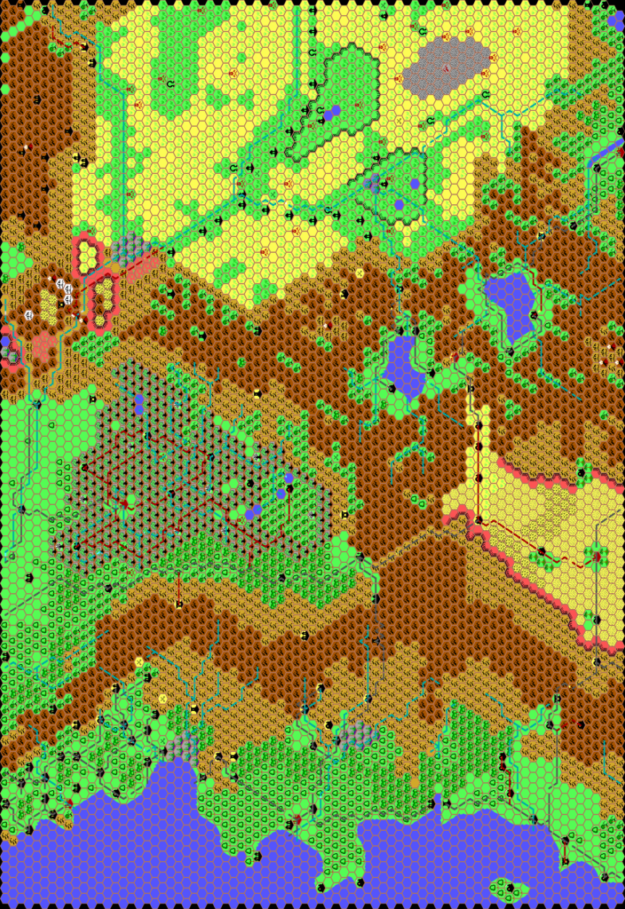
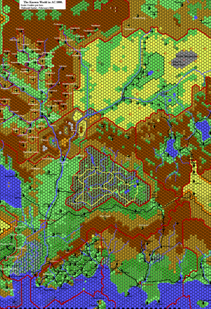
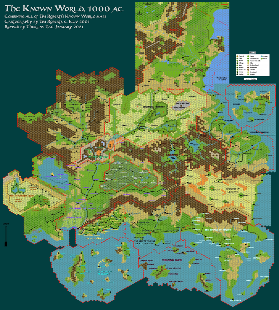
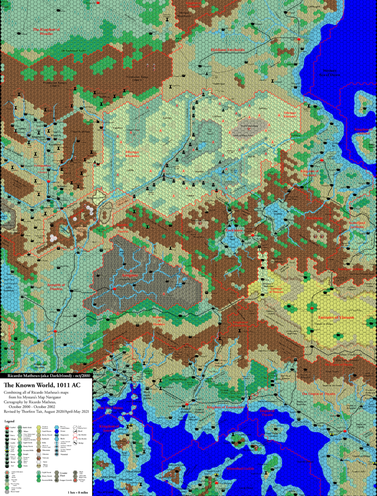
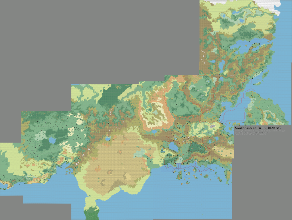
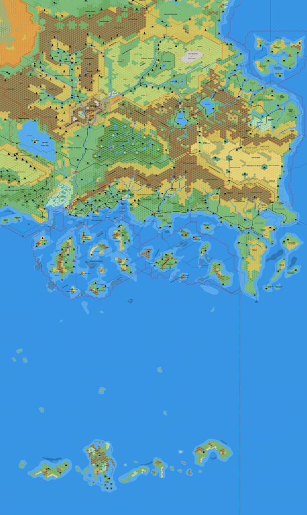
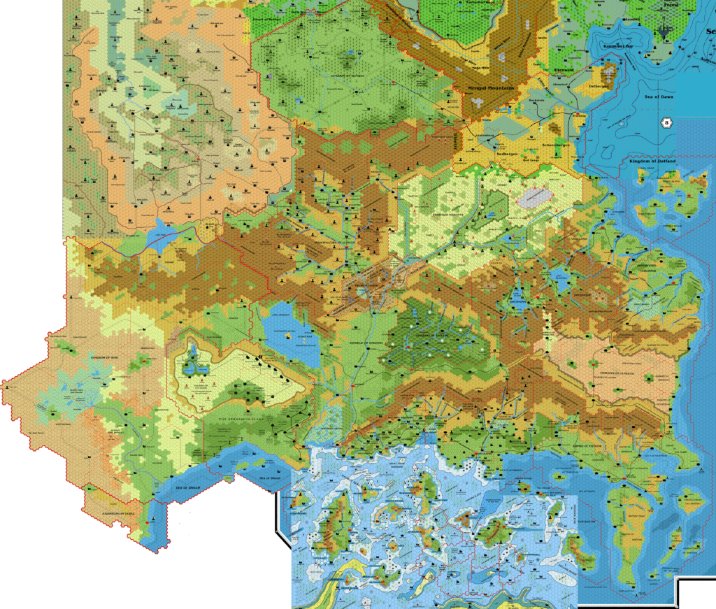
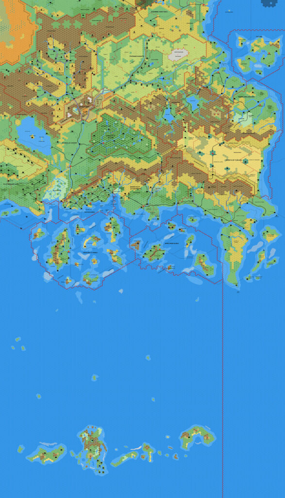
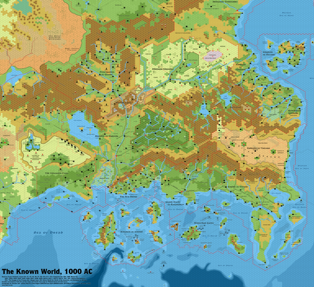
TM1 The Western Countries, 8 miles per hex
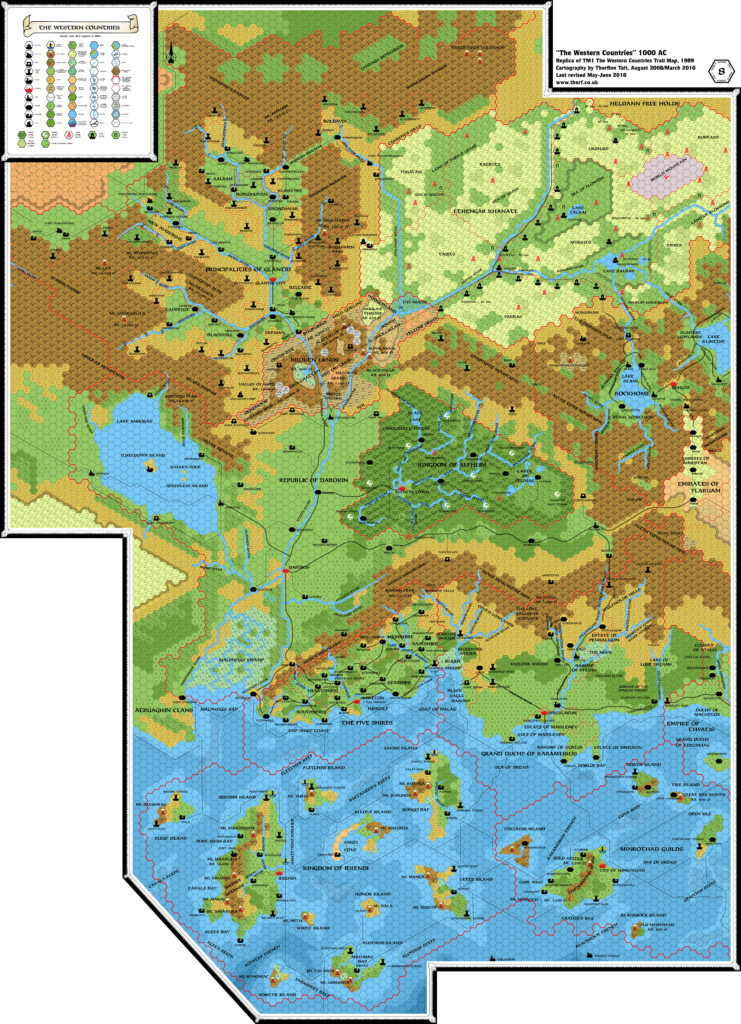
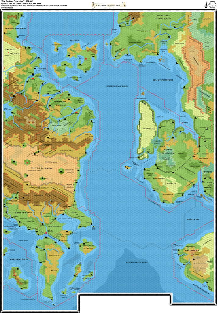
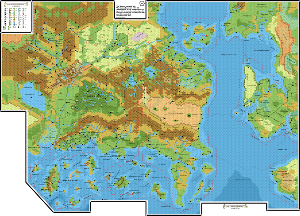
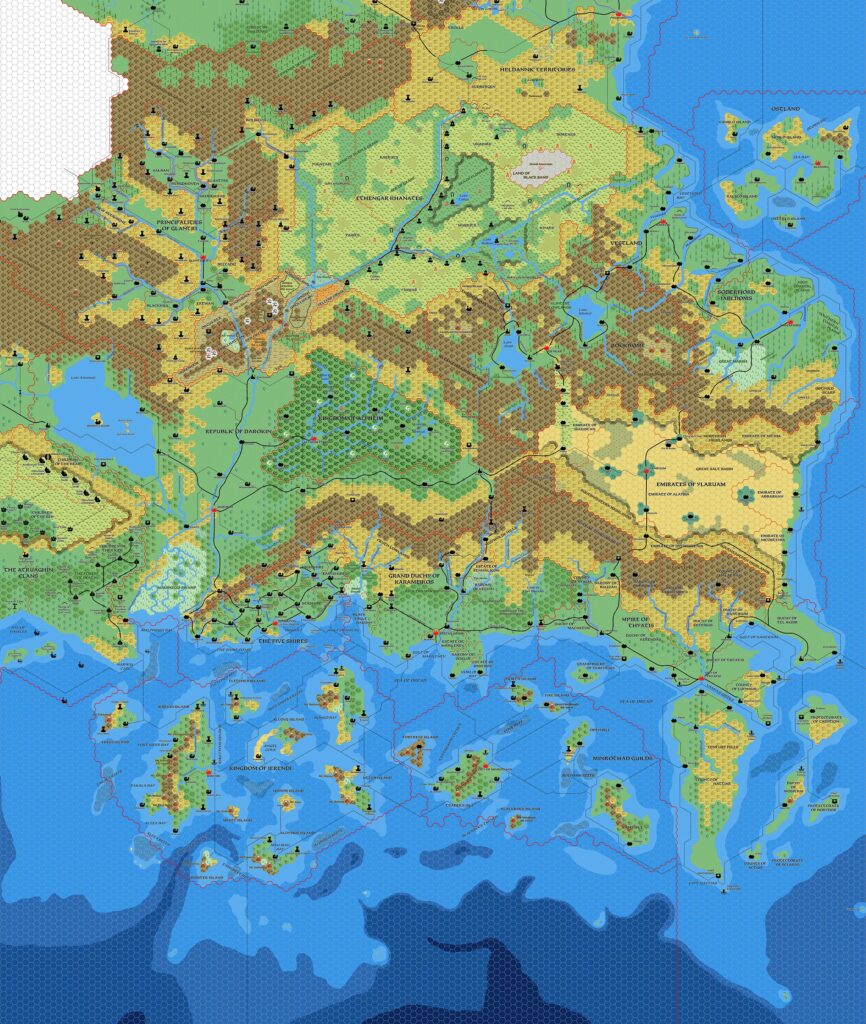
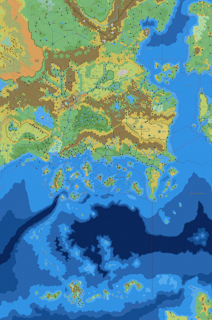
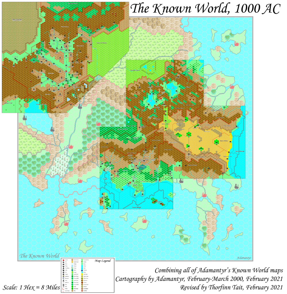
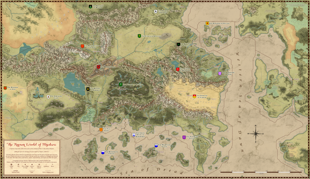
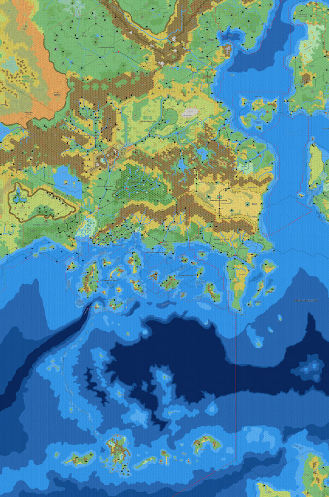
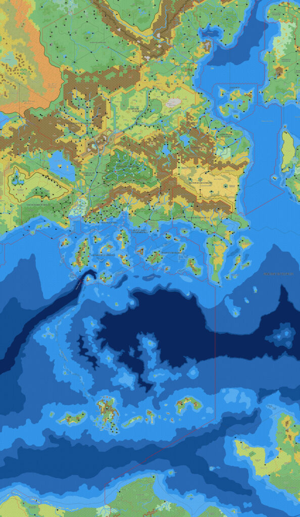
The Trail Maps were the culmination of the Gazetteer series maps. Two massive 36″ x 57″ sheets brought together all the separate maps for each country, combining them into a cohesive whole for the first time, and adding lots of little details in the process.
I wonder how many fans had already tried laying out all of the individual maps themselves. I certainly had! It was not an easy task, as most of the poster maps included lots of other maps and illustrations in addition to the hex maps. Luckily, the trail maps solved this for us.
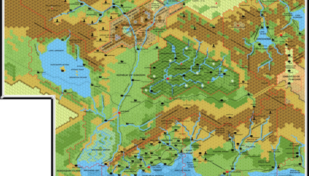
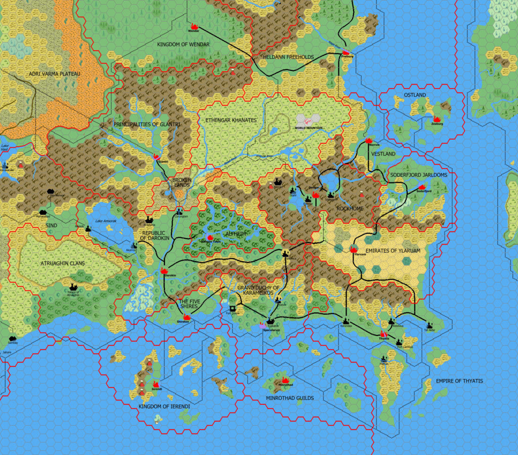
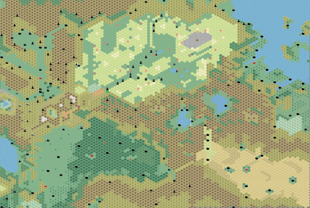
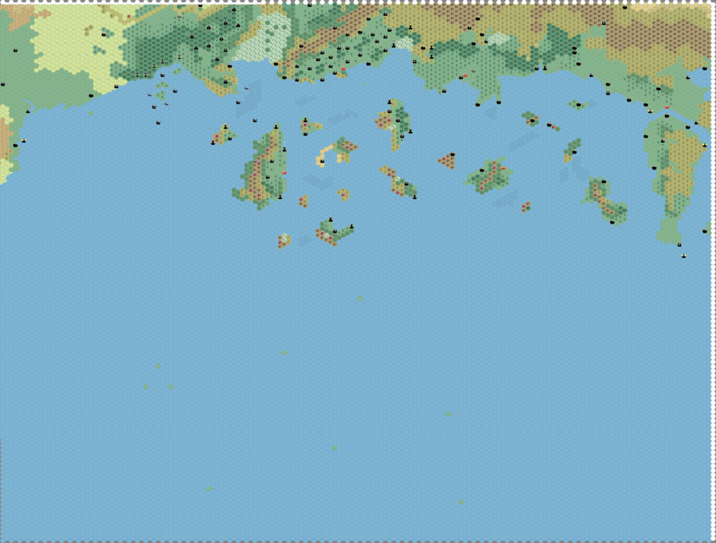
TM1 showed the western two thirds of the Known World, from western Glantri to eastern Ylaruam. It provided the best view available at the time of Atruaghin and Sind, although neither were labelled or detailed. It also provided another small chunk of Heldann, labelled but bereft of detail.
Replica Map (June 2018)
One (or more) of the maps linked to above is a lower resolution version. You can download the full size version using the following link (right click and choose “Save Link As…”).
Mobile Users: Note that it may not be possible to view the full resolution image on your device.
TM1 The Western Countries, 8 miles per hex (300 DPI)
Sources
- TM1 The Western Countries (1989)
Chronological Analysis
This is Map 123. It was published in August 1989. See Known World, 8 miles per hex for the updated Atlas version of that area. The Isle of Dawn’s updated map is not yet available. See also Appendix C for annual chronological snapshots of the area. For the full context of this map in Mystara’s publication history, see the upcoming Let’s Map Mystara 1989.





12 June 2018 @ 11:03 pm
When the maps came I pasted all these on to my room, mostly on the ceiling…it was the only place big enough. After some hard years and a new home, I have them folded up, yet still miss them somehow…
13 June 2018 @ 2:30 am
I certainly did my version of this…on isometric paper with the icons on the apexes since I couldn’t get hex paper. I remember struggling to get Alfheim to be the right shape.
8 October 2018 @ 1:48 am
Why is the ‘village’ of Vandevicsny included in some maps, but not others?
On the maps that show it, the village is located in the ‘realm’ of Karameikos, along the coast between Sulescu and Fort Doom.
13 October 2018 @ 12:23 pm
Good question, David.
The answer is that it was a new addition in the AD&D 2nd Edition Karameikos: Kingdom of Adventure boxed set. As such, it appeared on the last published map of Karameikos, but of course not on any prior maps, as it was a new creation for that set. My understanding is that it was added for the Night of the Vampire module, which is based around that village.
In terms of this Atlas, you’ll find Vandevicsny on the updated map of Karameikos, but not anywhere else at this point, as I have yet to release a remake of the AD&D Karameikos map.