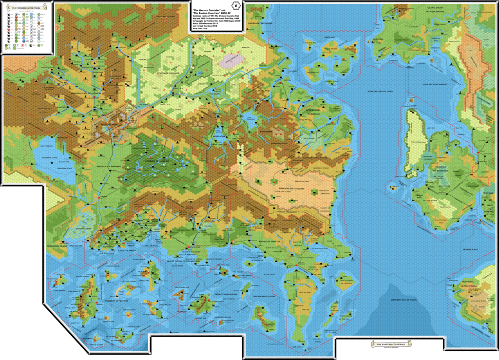
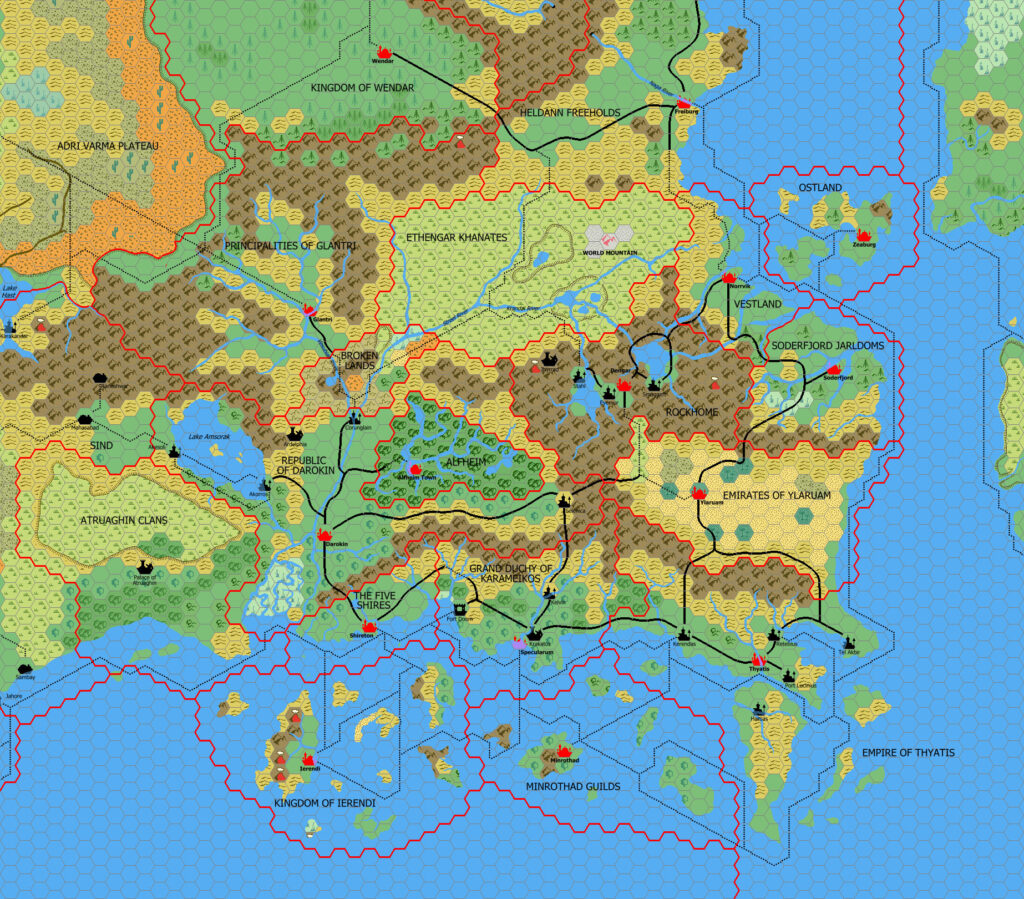
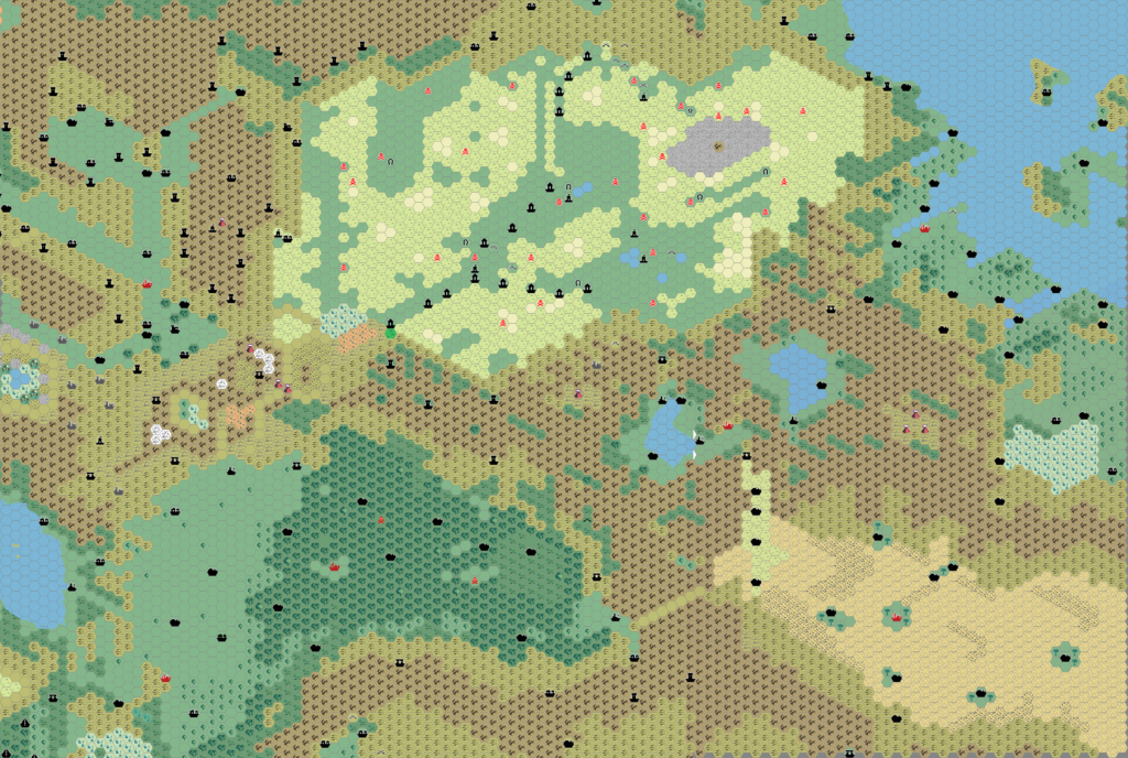
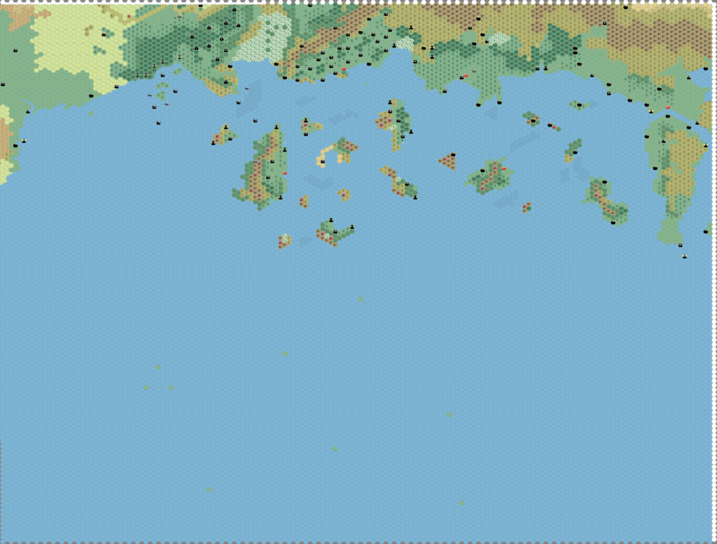
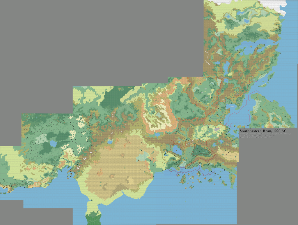
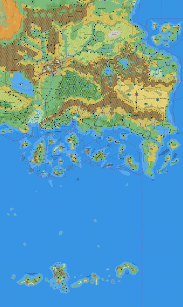
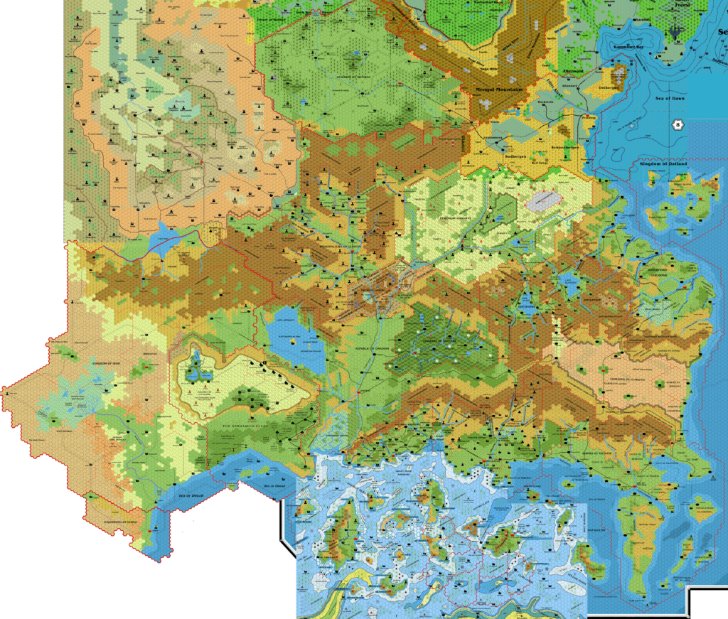
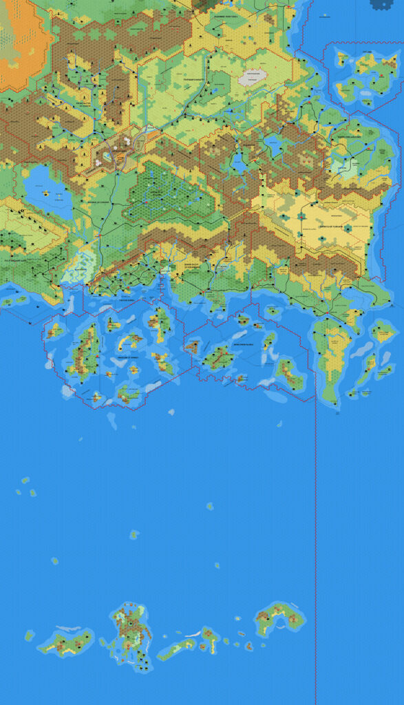
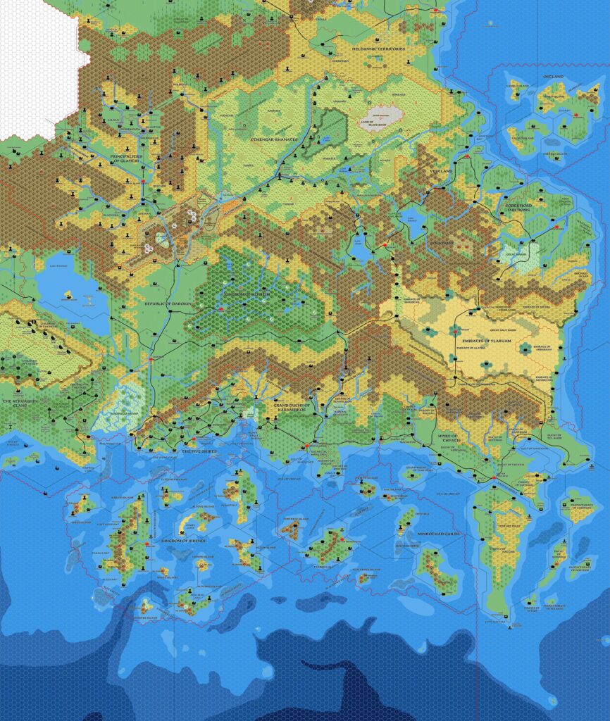
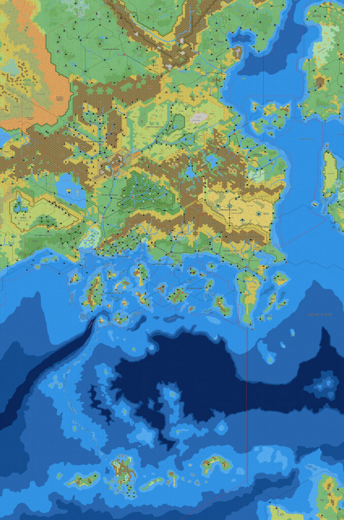
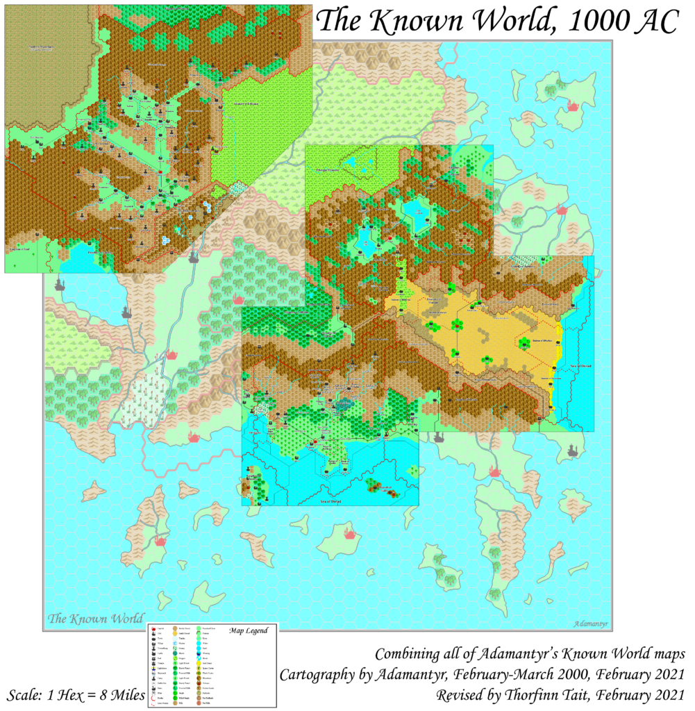
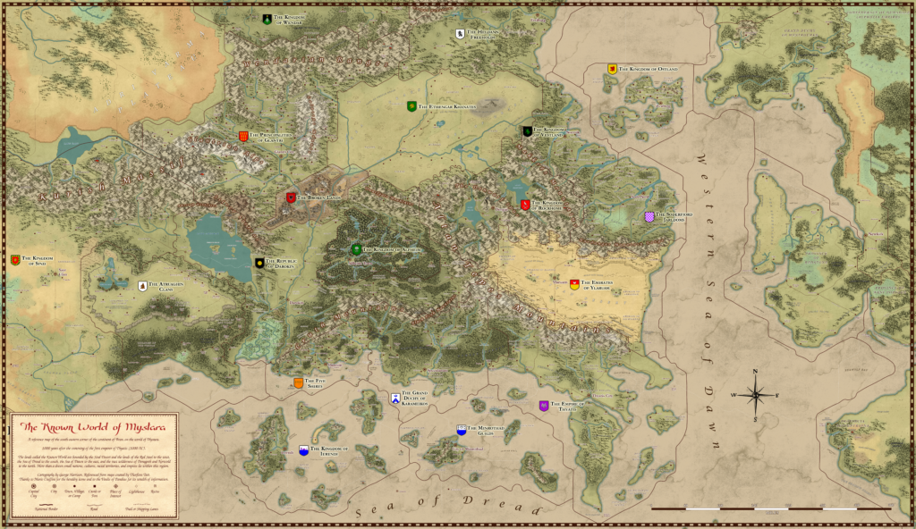
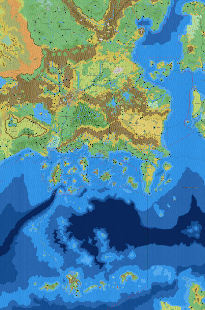
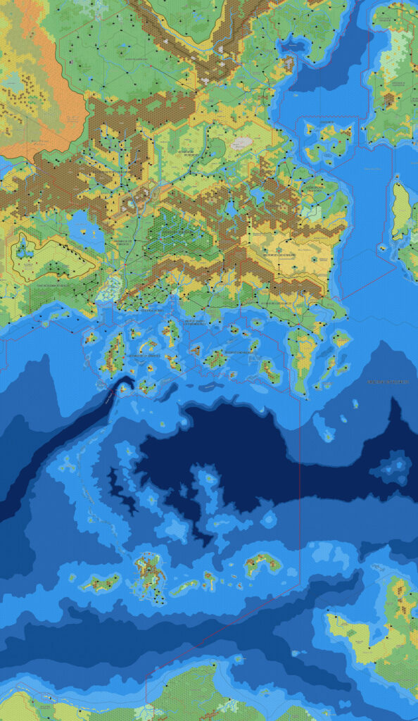
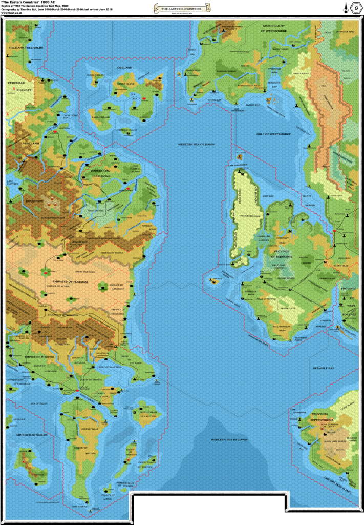
TM2 The Eastern Countries, 8 miles per hex
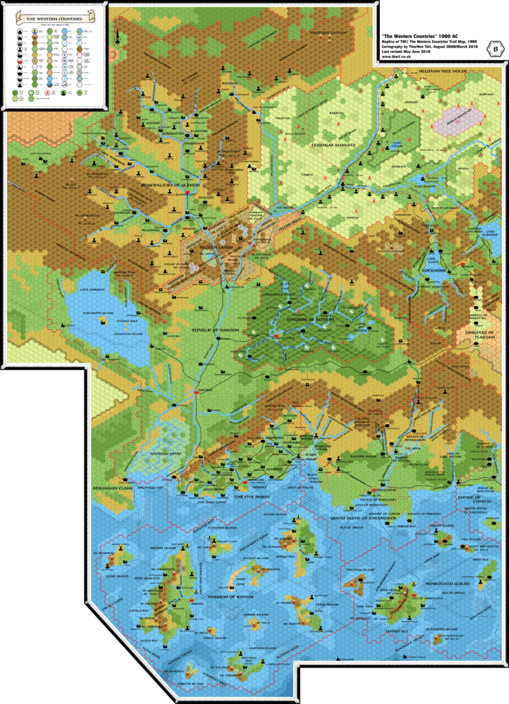
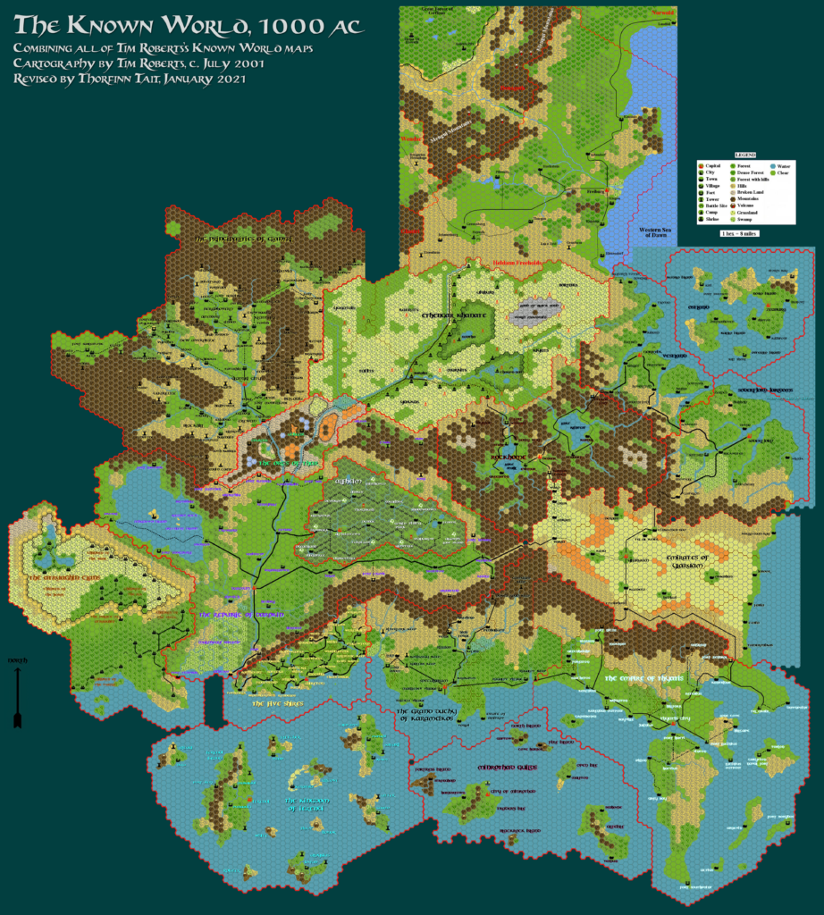
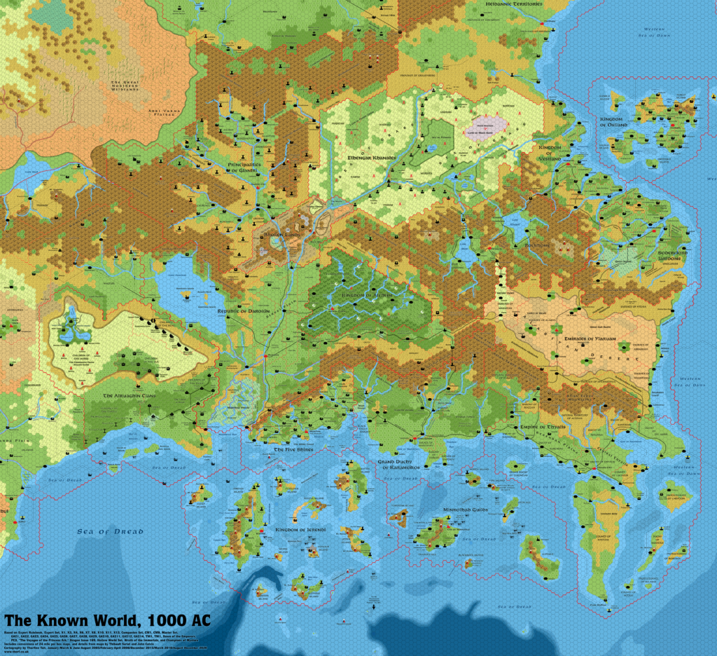
The Trail Maps were the culmination of the Gazetteer series maps: two massive 36″ x 57″ sheets brought together all the separate maps for each country, combining them into a cohesive whole for the first time, and adding lots of little details in the process.
I wonder how many fans had already tried laying out all of the individual maps themselves. I certainly had! It was not an easy task, as most of the poster maps included lots of other maps and illustrations in addition to the hex maps. Luckily, the trail maps solved this for us.
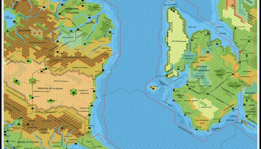
TM2 picked up where the first map left off, completing the eastern coast of the Known World, including a nice little sliver of Heldann. But that left half the map free, so the right hand side of the map covered the Isle of Dawn — the only map ever to do so at this scale. This was a wonderful bonus to the already great Known World combined map.
The map is not without its issues. Unfortunately, due to rather complex scaling problems dating back to its previous appearances in M5 and then Dawn of the Emperors, the Isle of Dawn as it appears on this map is slightly out of scale. In practical terms, the hexes on the right hand side of this map need to be reinterpreted to 7.5 miles per hex, but thankfully the part closest to the Known World — the area just across the sea from Ostland — remains largely as it appears here.
Replica Map (June 2018)
One (or more) of the maps linked to above is a lower resolution version. You can download the full size version using the following link (right click and choose “Save Link As…”).
Mobile Users: Note that it may not be possible to view the full resolution image on your device.
TM2 The Eastern Countries, 8 miles per hex (300 DPI)
Sources
- TM2 The Eastern Countries (1989) (PDF at DriveThruRPG)
Chronological Analysis
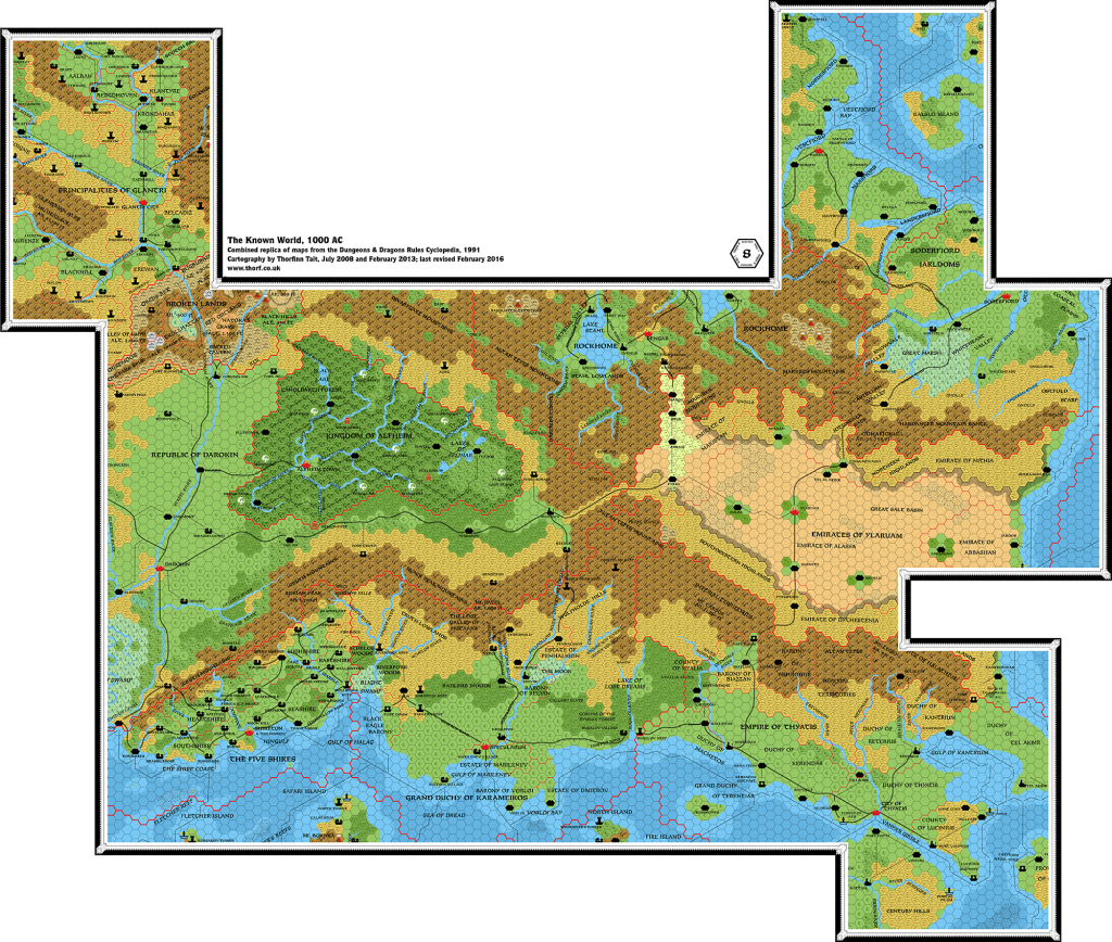
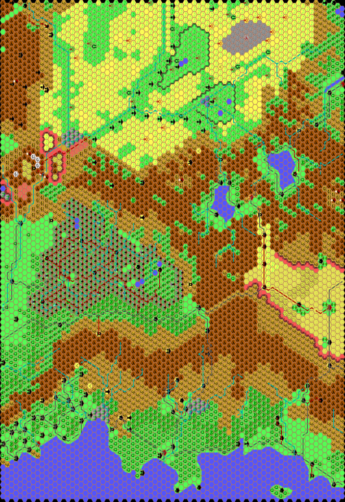
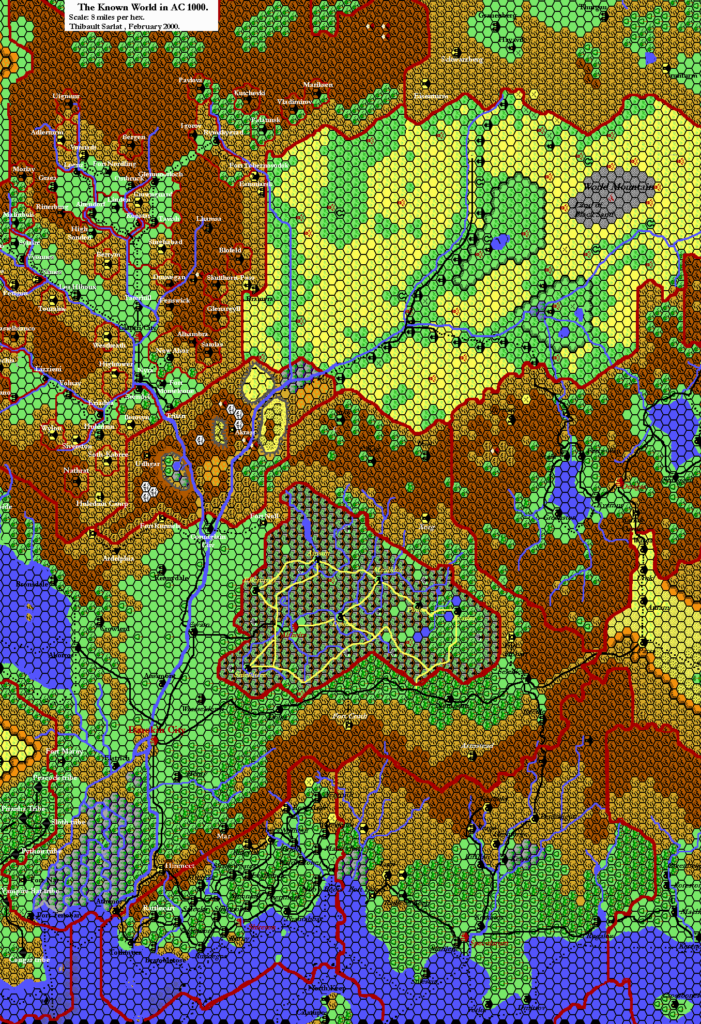
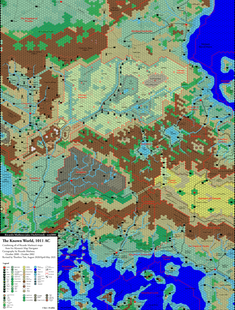
This is Map 124. It was published in September 1989. See Known World, 8 miles per hex for the updated Atlas version of that area. The Isle of Dawn’s updated map is not yet available. See also Appendix C for annual chronological snapshots of the area. For the full context of this map in Mystara’s publication history, see the upcoming Let’s Map Mystara 1989.
The following lists are from the Let’s Map Mystara project. Additions are new features, introduced in this map. Revisions are changes to previously-introduced features. Hex Art & Fonts track design elements. Finally, Textual Additions are potential features found in the related text. In most cases, the Atlas adopts these textual additions into updated and chronological maps.
Under Construction! Please check back again soon for updates.
Additions
- Settlements — Numerous settlements in the Isle of Dawn section of the map, plus a few in Heldann.
- Heldann — The villages of Blauendorf, Kaltstein, and Klagen on the Heldann coast, and the tower of Grunturm inland from Blauendorf.
- Isle of Dawn — XXX.
- Terrain — The details of the area of Heldann shown are all new here, having previously only been shown as 24 mile hexes. The same is true of the Isle of Dawn.

