")
Vyolstagrad, 2 miles per hex (1985)
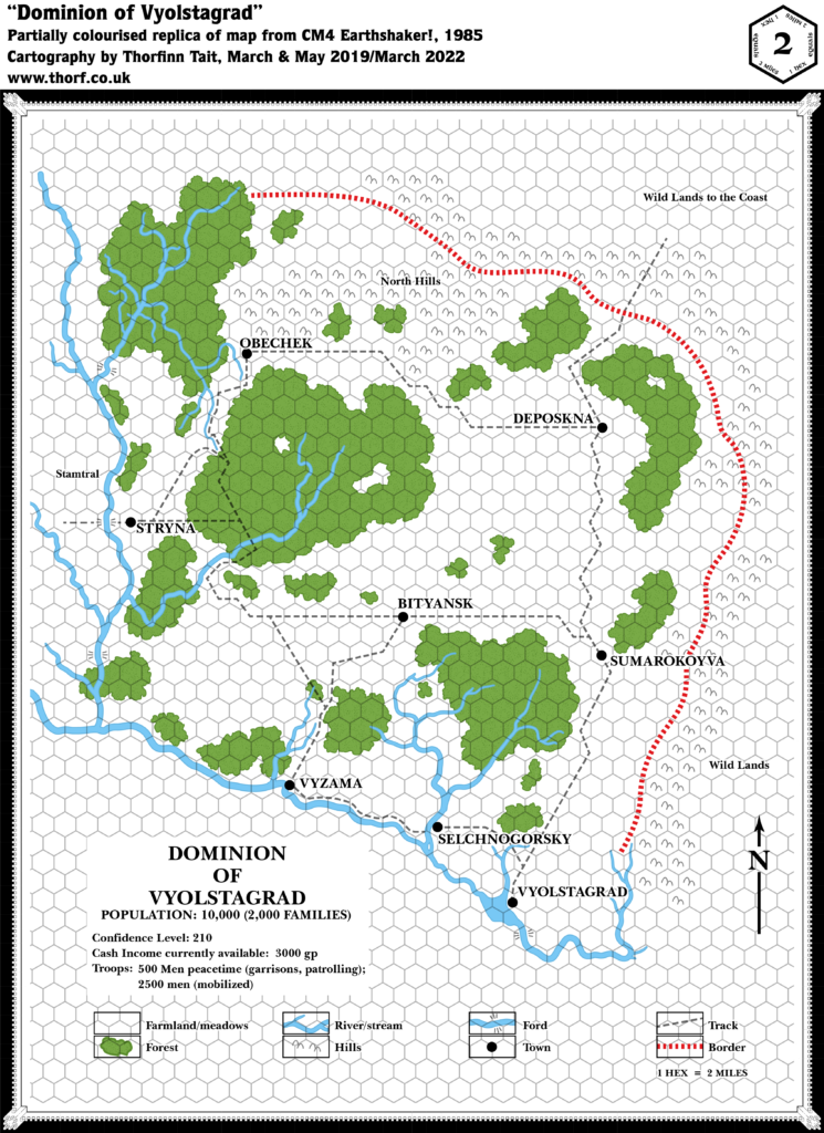
Following on from the previous year’s Twolakes Vale, CM4’s Vyolstagrad was the second Norwold dominion to be mapped out. This is how it might have looked if it were colourised, with textual additions from the module. The exact placement of the dominion in Norwold is rather ambiguous, so I am not giving it a fixed location for now. As of 1985, it could be dropped in wherever it was needed.
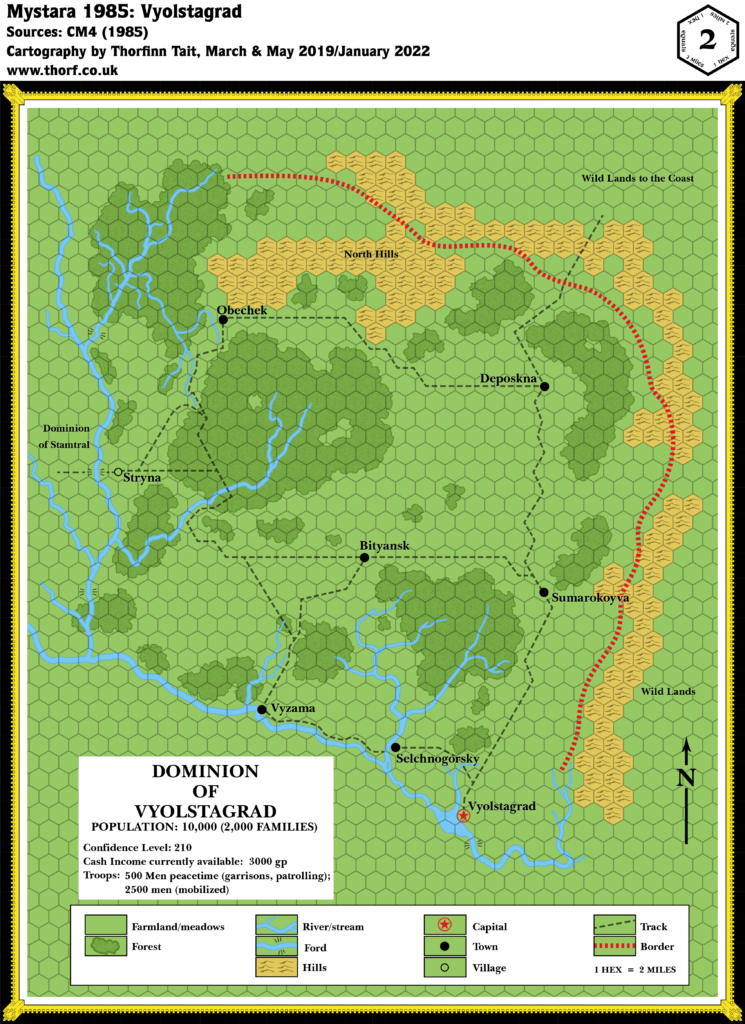
Chronological Map (January 2022)
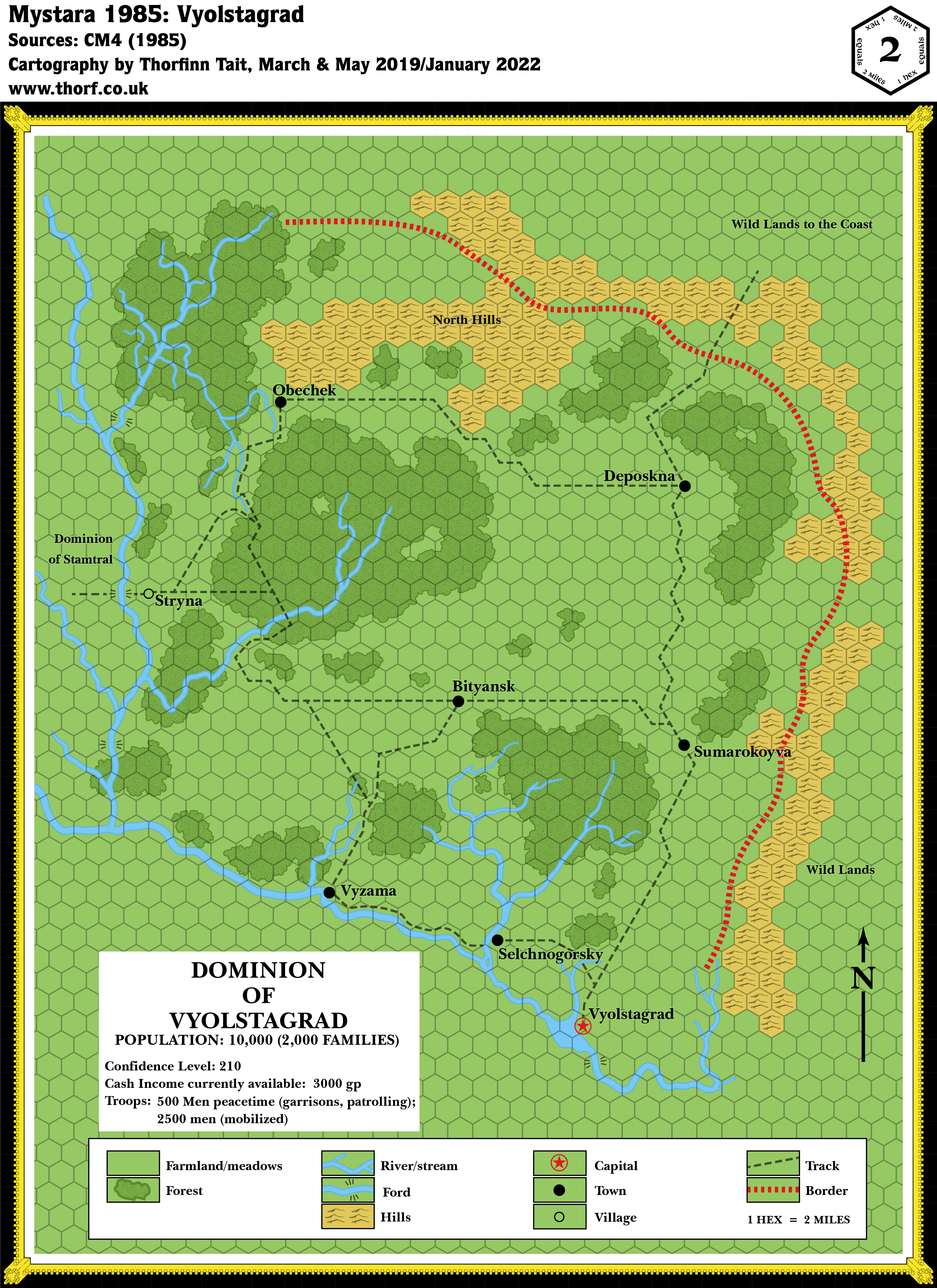
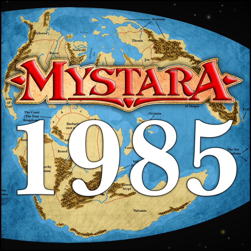
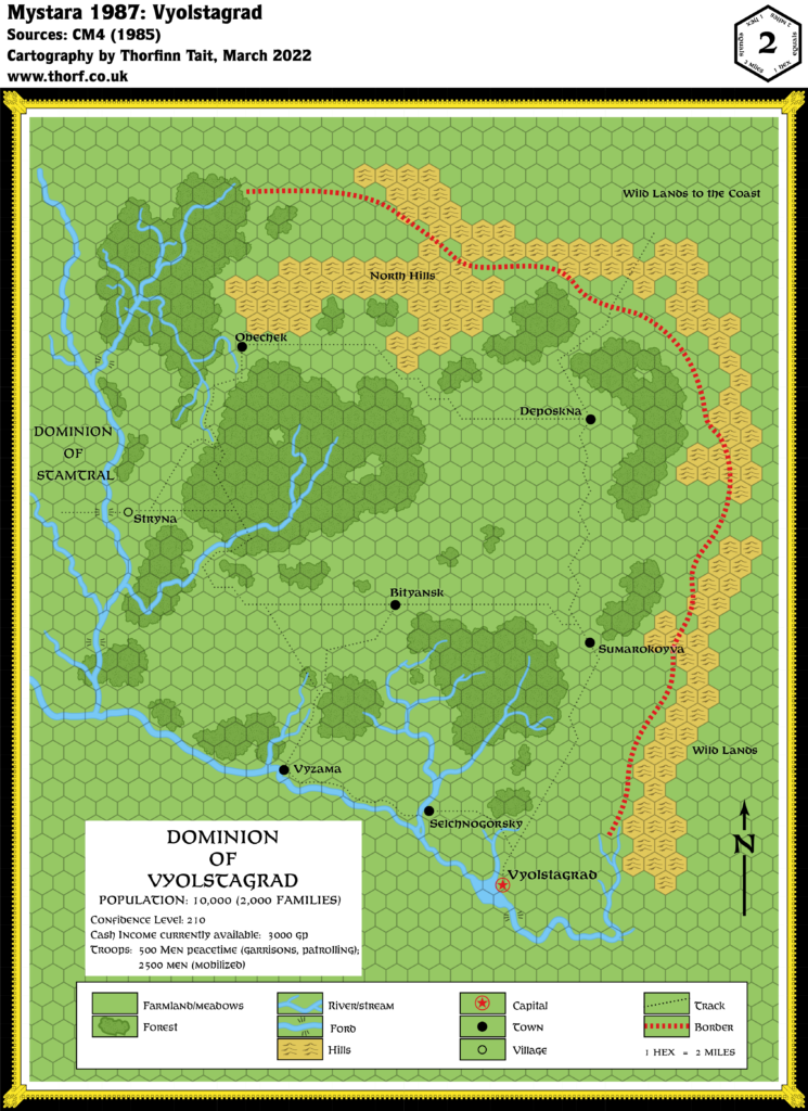
This map is part of the Mystara 1985 series of chronological maps. It is an updated map, incorporating all available sources and made internally consistent with other maps in its series. But it only uses sources published in or before 1985.
For more information, see Appendix C: Cartographic Chronology.
Sources
- Mystara 1984
- CM4 Earthshaker! (1985) (PDF at DriveThruRPG)
Revisions
For detailed notes, see the posts for each individual source map at the links above.
- Dominions — The neighbouring dominion of Stamtral has been explicitly marked as such.
- Settlements — Stryna has been marked as a village in keeping with the module’s text.
References
- Let’s Map Mystara 1985 — the original project thread for this map
- Let’s Map Mystara Together discussion thread at The Piazza (link leads to this map’s post)
- Norwold at the Vaults of Pandius