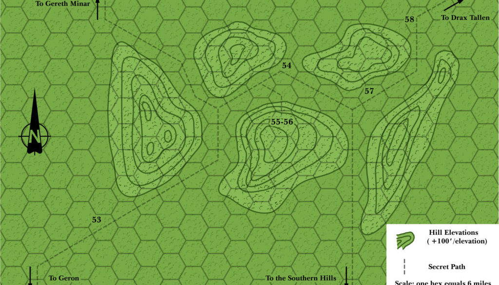
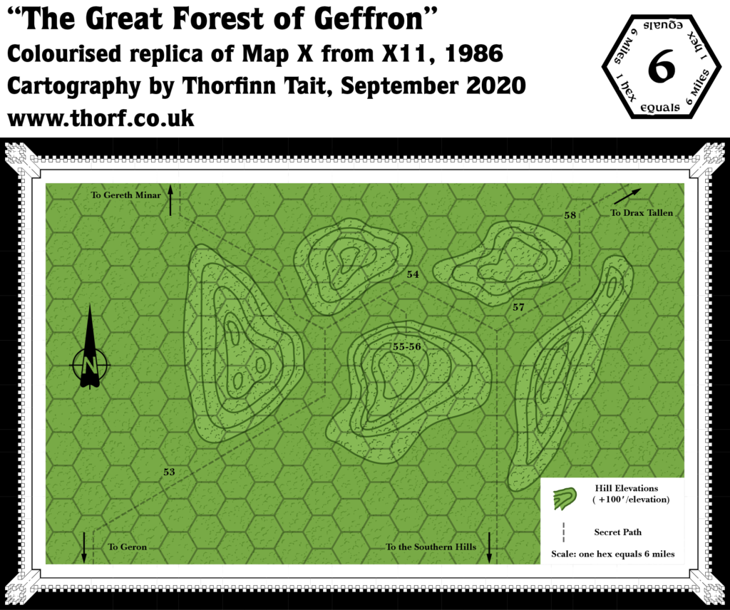
X11 Great Forest of Geffron, 6 miles per hex
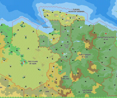
While not the worst map from X11, Geffron is pretty lacking when it comes to detail. Bonus points for the contour lines, though. It’s also easy to place this together with the 24 mile per hex map, thanks to the Shrine of Enoreth appearing on both (it’s tag 56 on this one).
Replica Map (September 2020)
Sources
- X11 Saga of the Shadow Lord (1986) (PDF at DriveThruRPG)
- “Map X The Great Forest of Geffron”, page 43 (Cartography by Dennis Kauth)
Chronological Analysis
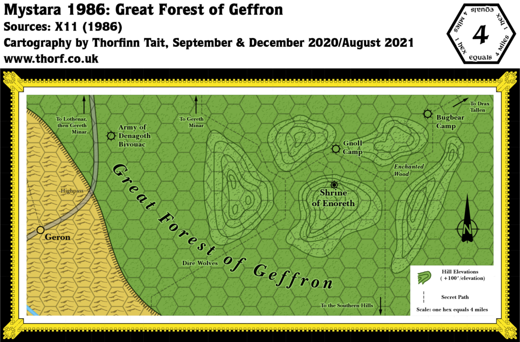
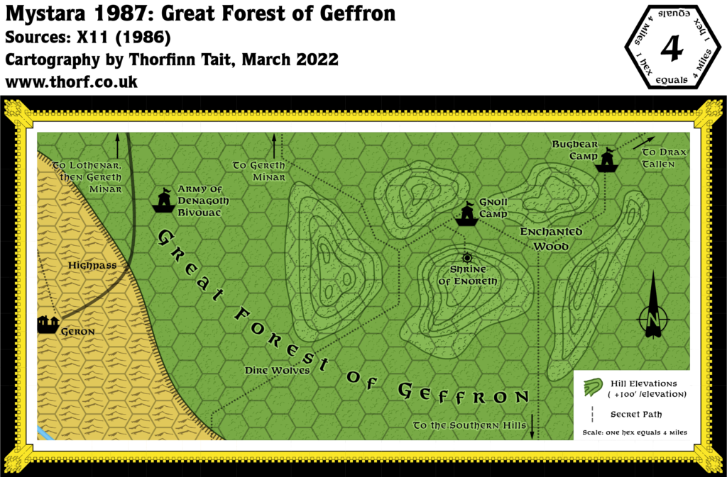
This is Map 52. It was published in August 1986. The updated version of this map has not yet been released. See also Appendix C for annual chronological snapshots of the area. For the full context of this map in Mystara’s publication history, see Let’s Map Mystara 1986.
The following lists are from the Let’s Map Mystara project. Additions are new features, introduced in this map. Revisions are changes to previously-introduced features. Hex Art & Fonts track design elements. Finally, Textual Additions are potential features found in the related text. In most cases, the Atlas adopts these textual additions into updated and chronological maps.
Additions
- Terrain — There are forested hills in the Great Forest of Geffron.
- Trails & Roads — A small network of trails leads through the forest near the Shrine of Enoreth (55-56 on the map). The western trail appears at first glance to be a continuation of the trail north from Geron, eventually leading to Gereth Minar. However, the Shrine is in fact due east of Geron, so this seems unlikely. More likely, this is a separate trail. But see Analysis below.
Hex Art & Fonts
- Fonts — Baskerville.
Join in the Discussion at The Piazza
Come and join in the discussion about this map at The Piazza, where I am holding a “read through” of the Let’s Map Mystara project.

