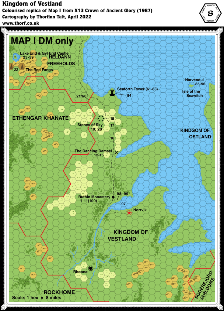
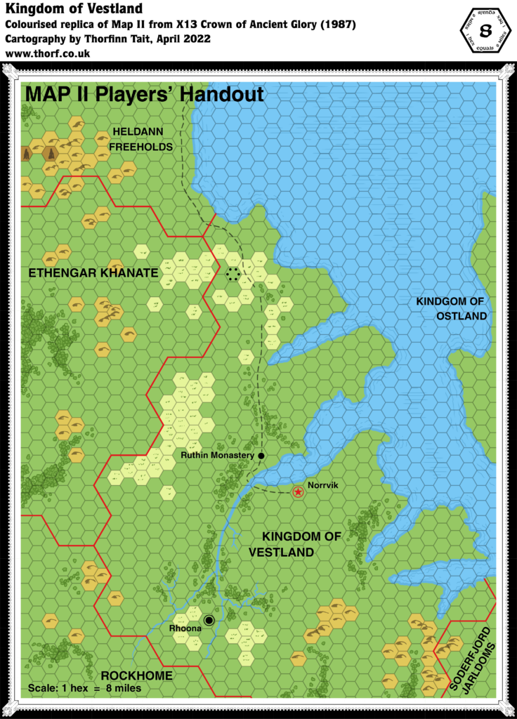
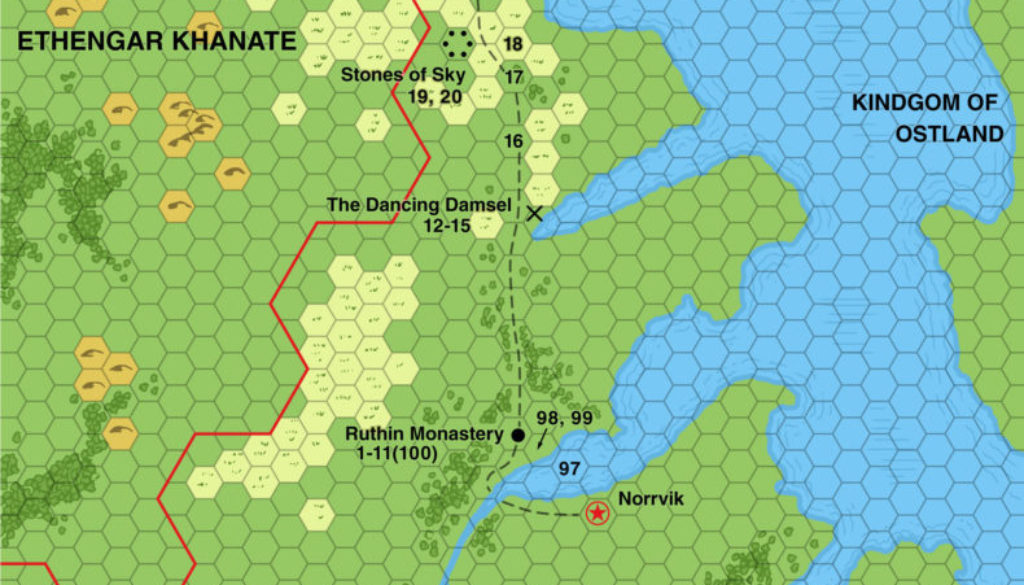
X13 Vestland, 8 miles per hex
X13 appeared at the end of 1987, about 6 months before GAZ7 The Northern Reaches provided a detailed writeup of Vestland and its neighbours. By this time, the Gazetteer series was of course well underway, and perhaps this is why X13 used the 8 mile per hex scale. However, that is where any similarities to the Gazetteer maps ends.
In fact, this map is highly problematic, because unfortunately it doesn’t line up well at all with previous (or indeed subsequent) maps. Comparing with previous 24 mile per hex maps of the region, the coasts, borders, settlements, and indeed pretty much everything is out of sync or just different. Taken on a local level, it should be possible to reconcile some of these details with other maps, but as a whole it seems like a bit of a lost cause. For example, the borders between Vestland and Ethengar/Rockhome are way out, and the terrain given to the latter two nations is wildly different from that shown on all previous maps.
GAZ7 did adopt at least one feature from this map (Seaforth Tower), but thankfully it went back to the original 24 mile per hex maps for its base.
The most enduring feature of this map is surely the corner of southeastern Heldann. There was so little development of Heldann that it comes as no surprise that most fans incorporated these details into their own maps later on.
Replica Maps (April 2022)


Sources
- X13 Crown of Ancient Glory (1987) (PDF at DriveThruRPG)
- Page 31 map (Cartography by Dave S. LaForce)
Chronological Analysis
This is Map 79. It was published in December 1987. The updated version of this map has not yet been released. See also Appendix C for annual chronological snapshots of the area. For the full context of this map in Mystara’s publication history, see Let’s Map Mystara 1987.
The following lists are from the Let’s Map Mystara project. Additions are new features, introduced in this map. Revisions are changes to previously-introduced features. Hex Art & Fonts track design elements. Finally, Textual Additions are potential features found in the related text. In most cases, the Atlas adopts these textual additions into updated and chronological maps.
Under Construction! Please check back again soon for updates.
Additions
- Settlements —
Revisions
- Settlements —
Hex Art & Fonts
- Symbols — Hand-drawn symbols that conform to the grid.
- New Symbols — Standing Stones (six black dots arranged in a circle).
- Fonts — Helvetica throughout.
Textual Additions (X13, December 1987)
- Settlements —


