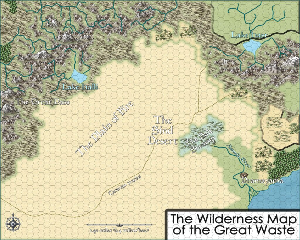
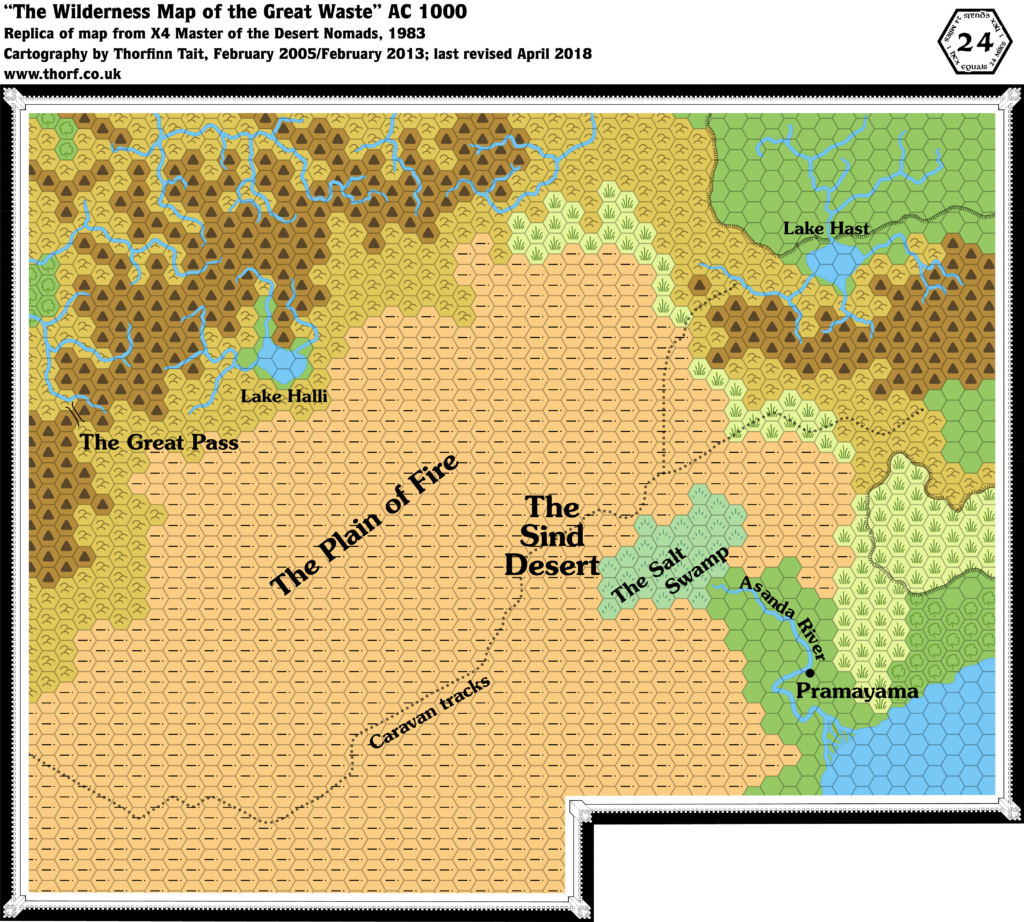
X4 Great Waste, 24 miles per hex
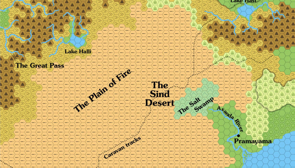
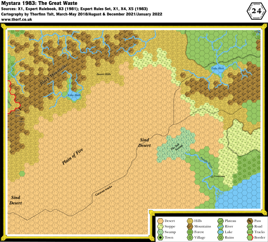
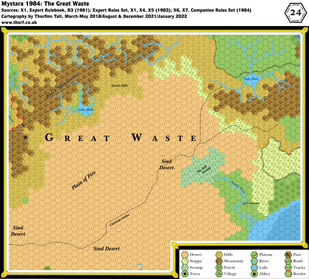
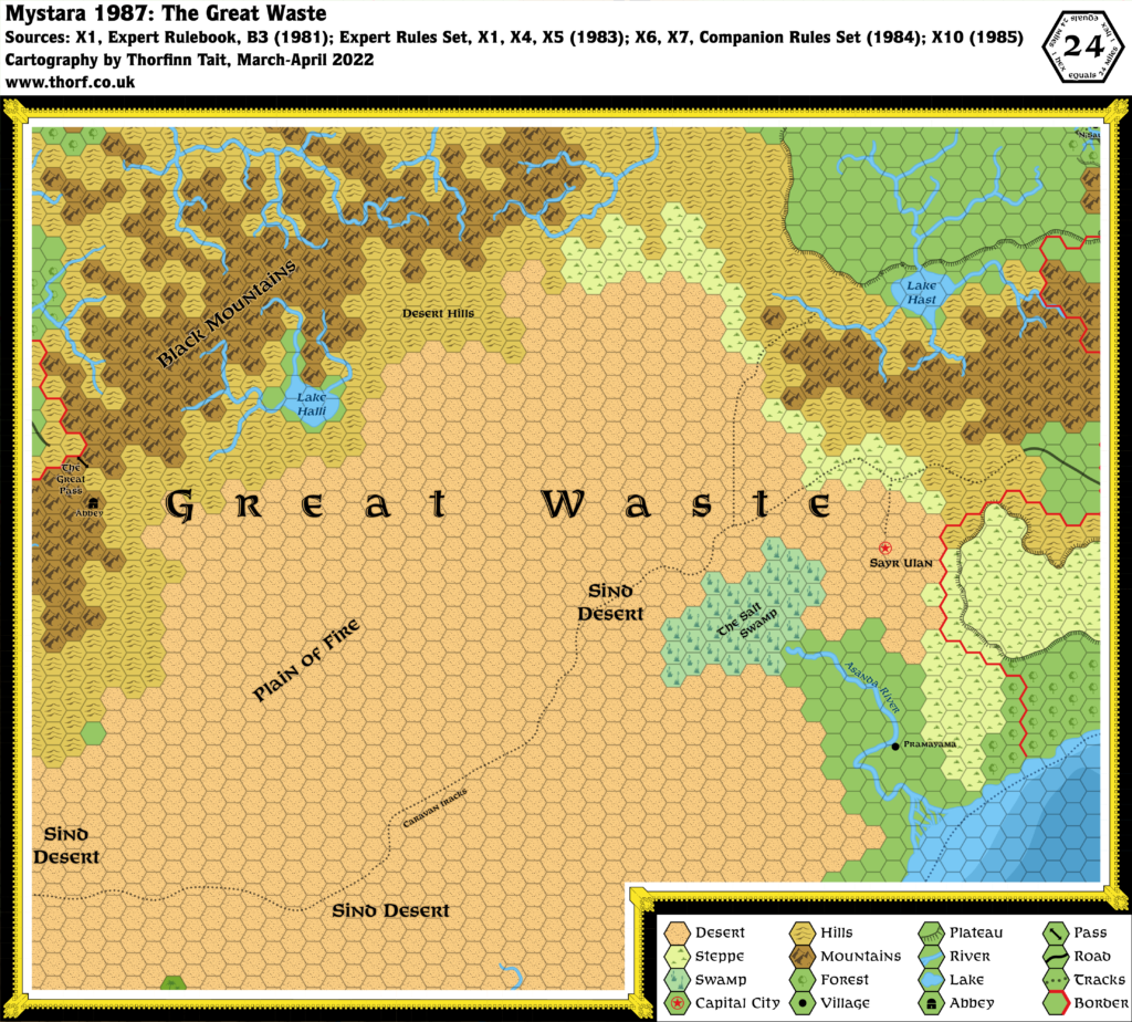
1983 and 1984 saw a massive expansion of the world, starting with X4’s Great Waste, which detailed the desert region directly to the west of X1’s Known World. It’s a sparse region, consisting mostly of desert. Sind is given as the name of the desert, but the kingdom is not yet present, though we get the village of Pramayama and the Asanda River, as well as the desert nomads of the title.
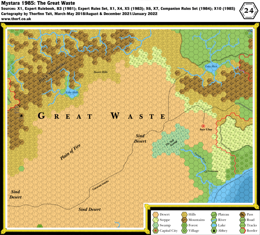
The most difficult thing about this map is the connection to X1’s map, which was vague to say the least. In fact, the lack of an overlap between these two maps made lining them up highly problematic, and it was only in 1985 with X10’s poster map that we would see the intended join.
Other highlights include the western Adri Varma Plateau (albeit as-yet unnamed), Lake Hast, the Black Mountains, and of course the Great Pass.
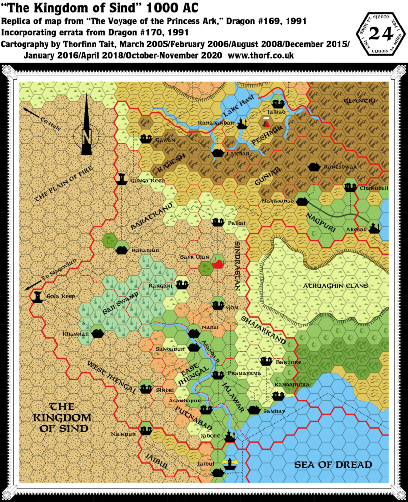
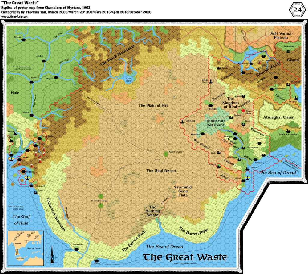
This map was later revised and expanded in Dragon 169, then again in Champions of Mystara.
Replica Map (April 2018)
Sources
- X4 Master of the Desert Nomads (1983) (PDF at DriveThruRPG)
- “The Wilderness Map of the Great Waste”, page 7
Chronological Analysis
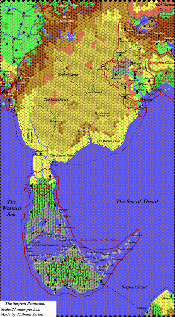
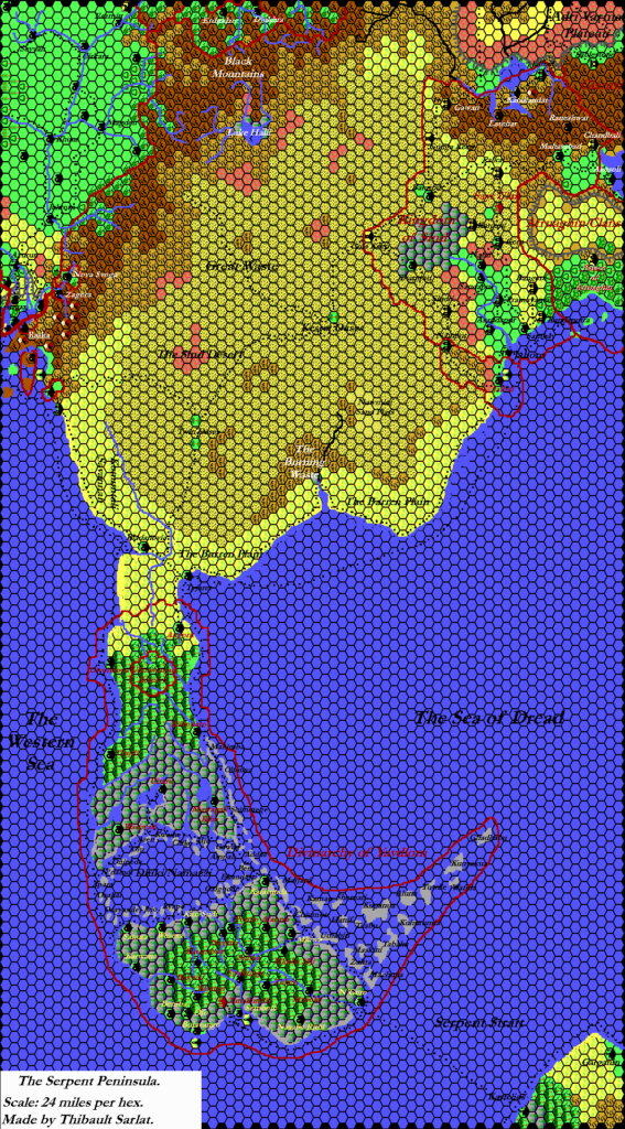
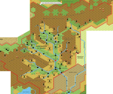
This is Map 8. It was published in April 1983. The updated version of this map has not yet been released. See also Appendix C for annual chronological snapshots of the area. For the full context of this map in Mystara’s publication history, see Let’s Map Mystara 1983.
The following lists are from the Let’s Map Mystara project. Additions are new features, introduced in this map. Revisions are changes to previously-introduced features. Hex Art & Fonts track design elements. Finally, Textual Additions are potential features found in the related text. In most cases, the Atlas adopts these textual additions into updated and chronological maps.
Additions
- Coastline — this is the first time to see the coastline of western Atruaghin and the neighbouring lands, although only a few hundred miles were shown here.
- Lakes — Lake Hast and Lake Halli.
- Mountain Passes — the Great Pass.
- Plateaus — the western half of the Atruaghin plateau (still unnamed), as well as the western section of the Adri Varma (also unnamed).
- Rivers — the Asanda River and its delta.
- Settlements — the village of Pramayama.
- Terrain — the Sind Desert, the Plain of Fire, the Salt Swamp.
- Trails & Roads — a caravan track leads through the desert, although the western end goes off the edge of the map.
Hex Art
- Fonts — Souvenir. This suggests that X4’s release (or at least production) was actually before the 1983 Expert Rules Set.
- New Symbols — Mountain Pass (two parallel lines curving away from each other at either end).
Textual Additions (X4)
- Mountains — the mountain range in the west of the map is the Black Mountains. “This massive mountain range is among the highest and most dangerous mountain chains in the known lands”. “Its peaks are permanently ice covered, and large glaciers fill many of the high valleys. From a distance the mountains appear white and dull blue, but when viewed more closely, the blue becomes dull grey, barren rock. Most of the mountain land is well above the treelike, even above the highest of the meadows that cover the lower slopes. Travel through the mountains is nearly impossible except at certain passes and trails”. (p. 18) They are largely impassable except by way of the Great Pass.
- Oasis — there is a small oasis on the caravan track called the Lost Oasis. (p. 11)
- Ruins — a Buried Temple lies “one mile across the desert (away from the caravan track)”. (p. 12)
- Settlements — an Evil Abbey is located above the treeline on the way to the Great Pass. (p. 19)
- Terrain — The Sind Desert is “more barren and stony than sandy: rocky areas, craggy bluffs, and patches of dry thorn bushes dot the landscape. During the daytime, temperatures often reach 110 degrees [43ºC] or higher. At night, the temperatures will drop as low as 30 to 40 degrees [1-4ºC].” (p.10) In the Plain of Fire “the temperatures are normally 100 degrees [38ºC] or higher during the day and only a little cooler during the night. The area is a large lava plain with many sharp rocks and blowing sand. There are no oases or wells anywhere, and only a few dried-out plants.” (p.15) The Desert Hills are a low range of hills beyond the Plain of Fire. “From a distance, the look quite barren and lifeless; however, there are many different kinds of small game, bushes, grasses, and small trees in this area. In the hills near the mountains, the trees become taller and more dense.” (p. 15) By contrast, the foothills of the Black Mountains are rather different: “bent and twisted pine grows on the land, and streams flow through the area”. “The ground, though covered with trees and grass, is dusty and rocky.” Presumably this refers to the hills leading to the Great Pass. (p. 18)
Join in the Discussion at The Piazza
Come and join in the discussion about this map at The Piazza, where I am holding a “read through” of the Let’s Map Mystara project.
Maps of the Great Waste

