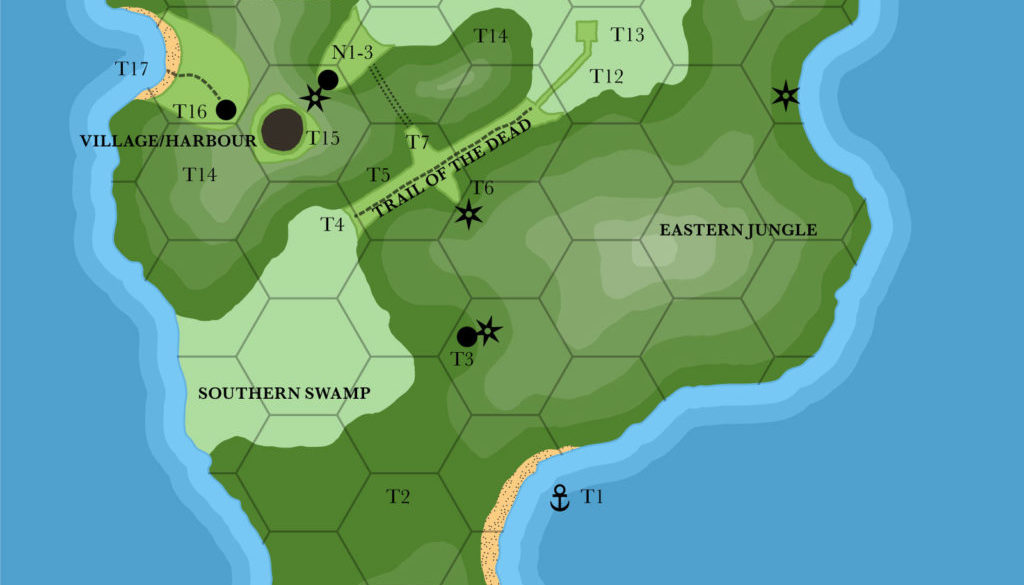
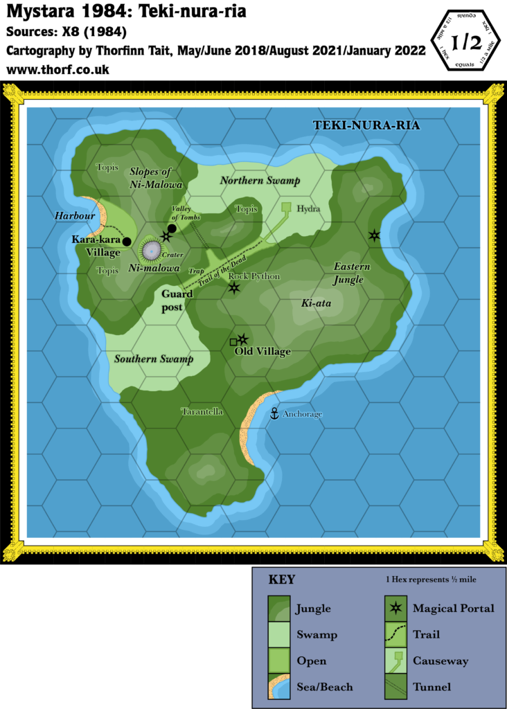
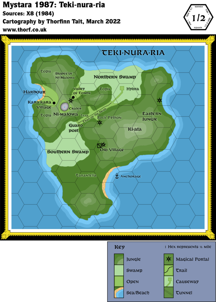
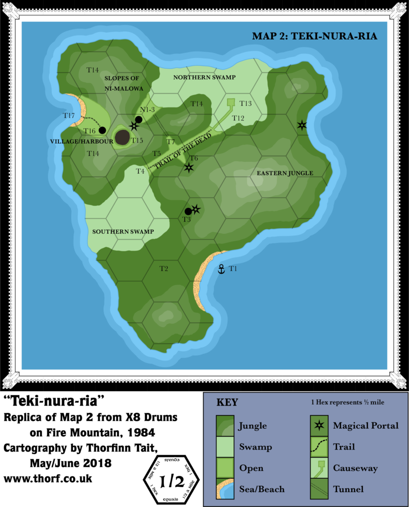
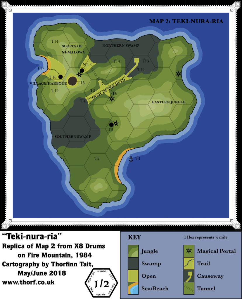
X8 Teki-nura-ria, 0.5 miles per hex
X8 detailed the island of Teki-nura-ria quite thoroughly. In addition to this overland hex map, printed with an enlarged hex grid, there are dungeon maps covering the extensive network of tunnels and chambers beneath the island.
Replica Map (June 2018)
Sources
- X8 Drums on Fire Mountain (1984) (PDF at DriveThruRPG)
- “Map 2: Teki-nura-ria”, cover gatefold (Cartography by Paul Ruiz)
Chronological Analysis
This is Map 27. It was published in October 1984. The updated version of this map has not yet been released. See also Appendix C for annual chronological snapshots of the area. For the full context of this map in Mystara’s publication history, see Let’s Map Mystara 1984.
The following lists are from the Let’s Map Mystara project. Additions are new features, introduced in this map. Revisions are changes to previously-introduced features. Hex Art & Fonts track design elements. Finally, Textual Additions are potential features found in the related text. In most cases, the Atlas adopts these textual additions into updated and chronological maps.
Additions
- Coastline — detailed coastline for the island.
- Mountains — Ni-malowa is the western volcano, the slopes of which are marked on the map. The eastern peak is unnamed here.
- Settlements — three unnamed village icons are marked.
- Terrain — Northern and Southern Swamps, Slopes of Ni-malowa, Eastern Jungle.
- Trails & Roads — the Trail of the Dead.
Hex Art & Fonts
- Fonts — Baskerville.
- New Symbols — Magical Portal (six pointed star with circular hole in the middle, like a shuriken), Tunnel (two parallel dotted lines).

Analysis
The shape and size of the island is slightly different from the 24 mile per hex map, and can easily be used to update that map.
Textual Additions (X8 1984)
- Fauna — tarantella (p. 6); rock python (p. 7), topi, hydra.
- Immortals — Tapu, “pig god” of the kara-kara (p. 2b).
- Island — Teki-nura-ria means “mountain of death” in the kara-kara language. (p. 2) There are three kara-kara who live “on another kara-kara island” in the prison pits, suggesting that perhaps the kara-kara inhabit some of the other nearby islands on the map. (p. 12)
- Mountains — the eastern volcano is named Ki-ata in the text.
- Ruins — the village marked at T3 on the map is in fact ruined.
- Rulers — KalnaKaa is the ruler of the kara-kara.
- Settlements — the Kara-kara Village, population 370 kara-kara (180 plus another 190 warriors from the caves). (p. 8)
- Terrain — as depicted on the map, “Nearly the whole of Teki-nura-ria is covered by dense vegetation.” (p. 4) Both swamps are overgrown with trees and mangroves. (p. 6-7)
Analysis
Most info here is useful only to slightly update the large scale map, and as such is somewhat outside the scope of this project, in the same way as the dungeon maps.
Join in the Discussion at The Piazza
Come and join in the discussion about this map at The Piazza, where I am holding a “read through” of the Let’s Map Mystara project.

