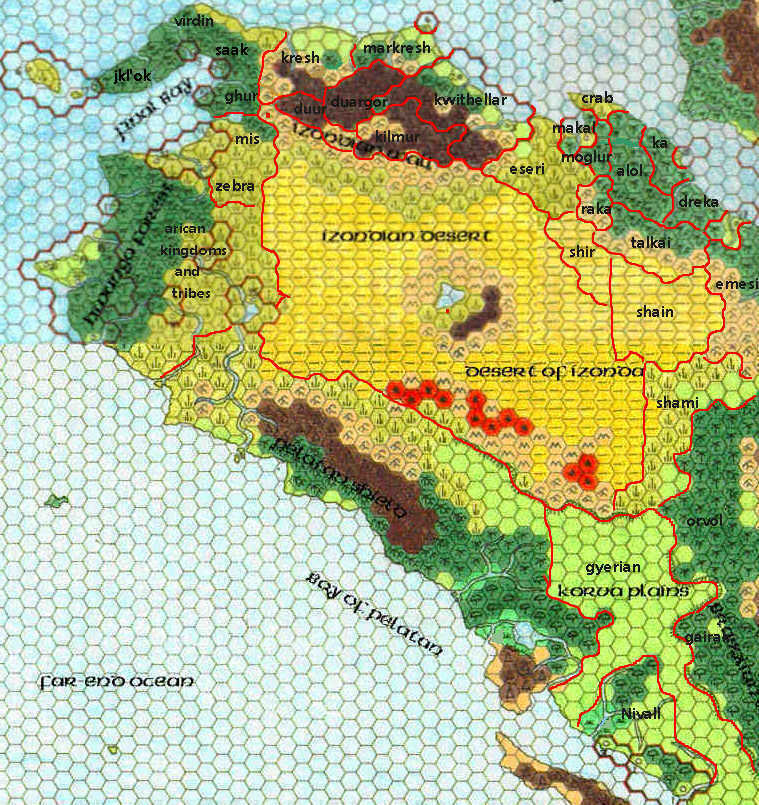
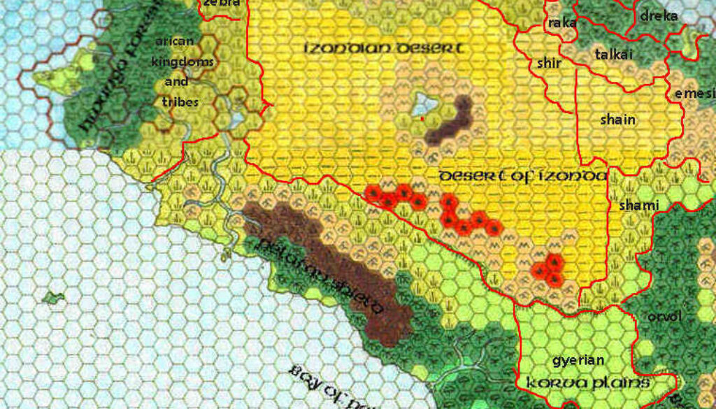
Sturm’s Northwestern Davania, 72 miles per hex
Francesco Defferrari made this rough map from a section of Geoff Gander’s Davania, patched together by Ethan Deneault. He then added political borders and labels. This was a product of the Mystaran Almanac 1019 AC’s working group. It served as a base for developing further maps of the area, most notably Makal (including Schweidnitz), Tlik’kkil, Eseri, and Mogluur — all of which Francesco went on to create at the 8 mile per hex scale.
This is Francesco’s earliest surviving map, and despite its status as a working map, not intended for public use, it is nonetheless iconic of what would become his signature style: building on the work of others while adding myriad new details of his own invention.
The actual details of the map are best understood with reference to the later annotated version of this map by Thibault Sarlat. Many of these labels were also expanded upon in the Mystaran Almanac 1019 AC, while others remain largely undeveloped to this day.
Fan-made Map by Francesco Defferrari (April 2001)

This is an original map created by one of Mystara’s excellent fan cartographers. For more information on the cartographer, including a gallery of all their maps, see also Appendix M: Mappers of Mystara.
Work in progress map: This map is incomplete. It appears here in the most recent state available, but it may be missing certain elements.
Sources
- Hollow World Campaign Set (1990) (PDF at DriveThruRPG)
- Outer World Planetary Map
Fan Sources
References
- All of Francesco’s maps at the Atlas of Mystara
- Francesco’s entry in Appendix M: Mappers of Mystara (upcoming)
- Francesco’s author page at the Vaults of Pandius
Chronological Analysis
This is a fan-made map. It was created in April 2001. The updated Atlas version of this map is not yet available. See also Appendix C for annual chronological snapshots of the area. For the full context of this map in Mystara’s publication history, see the upcoming Let’s Map Mystara 2001. (Please note that it may be some time before the project reaches this point.)
The following lists are from the Let’s Map Mystara project. Additions are new features, introduced in this map. Revisions are changes to previously-introduced features. Hex Art & Fonts track design elements. Finally, Textual Additions are potential features found in the related text. In most cases, the Atlas adopts these textual additions into updated and chronological maps.
Additions
- Nations — many nations and political entities of the region make their first appearance on a map here:
- Alol
- Arican Kingdoms and Tribes
- Crab — this is an abbreviation for Crabmen, later to be known as Tlik’kkill, or Haven of the Crabmen.
- Dreka
- Duargor
- Duur
- Emesi
- Eseri
- Gairak
- Ghur
- Gyerian
- Jkl’ok
- Ka
- Kilmur
- Kresh
- Kwithellar
- Makal — Schweidnitz is not marked at this scale, but it fits in here.
- Markresh
- Mis
- Mogluur — here misspelled as Moglur.
- Nivall
- Orvol
- Raka
- Saak
- Shain
- Shami
- Shir
- Talkai
- Virdin
- Zebra — an abbreviation for Land of the Zebrataurs
Revisions
- None.
Hex Art & Fonts
- Fonts — Probably Arial for Francesco’s added labels.


