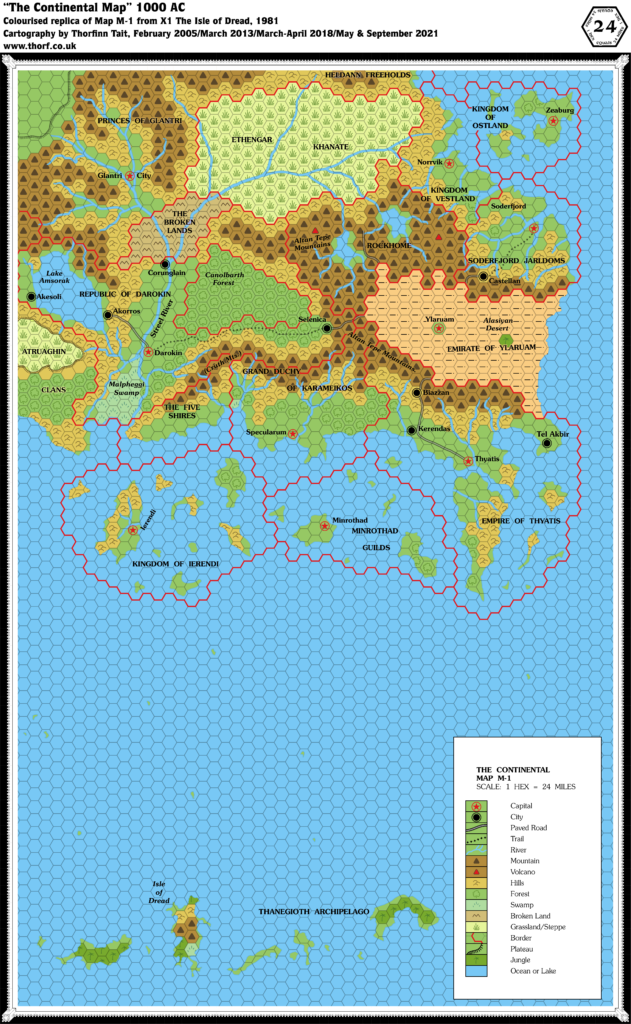
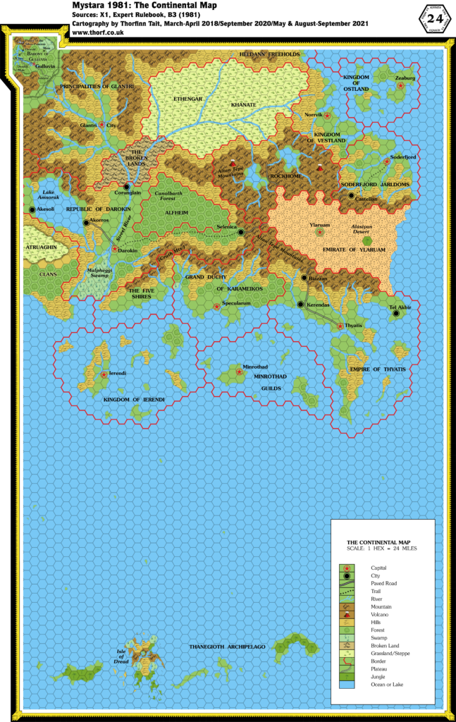
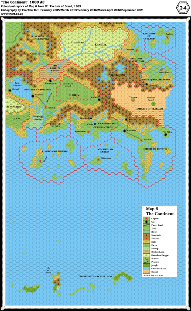
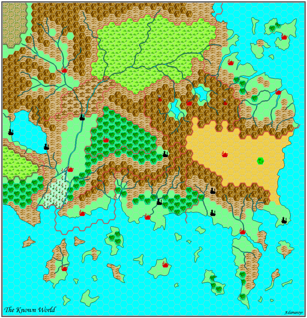
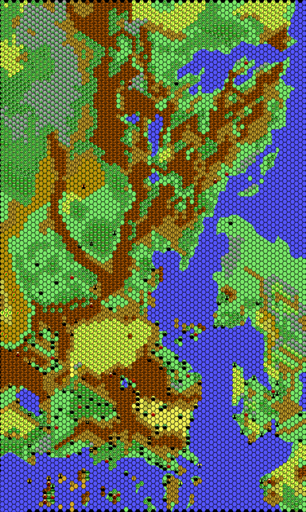
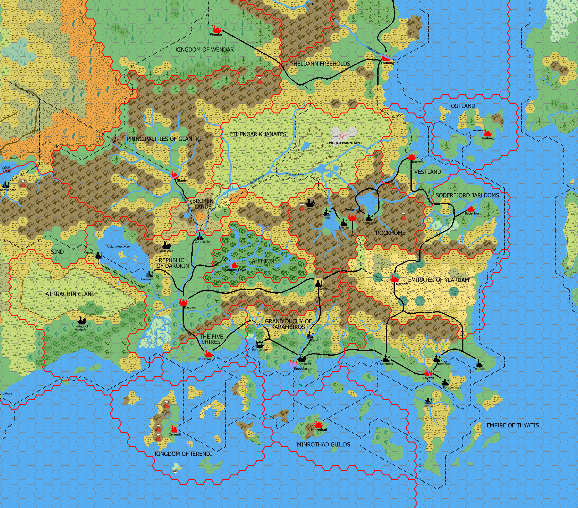
Mark’s Known World, 24 miles per hex v1
Mark first shared his maps publicly in March 2005, at Wizards’ Mystara Message Board. The thread is preserved at the Vaults of Pandius. In it, Mark wrote as follows:
I’ve been working on this for several years, but only recently got these to a standard that I was happy with.
At the moment there are two up, one 8 mile per hex of the Known World, and one 24 mile per hex of the Known World. …
The 8 mile per hex map is based on the two trail maps, Gazetteers 1-14, PC3, DotE, WotI and work by Thibault Sarlat. The 24 mile per hex map is based on the same sources plus X1.
So although the previous fragments of Karameikos and the Isle of Dawn are the oldest dated files we have, Mark had been working on his maps for some time when he started to share them. This will probably not be a surprise to anyone who has made maps of Mystara.
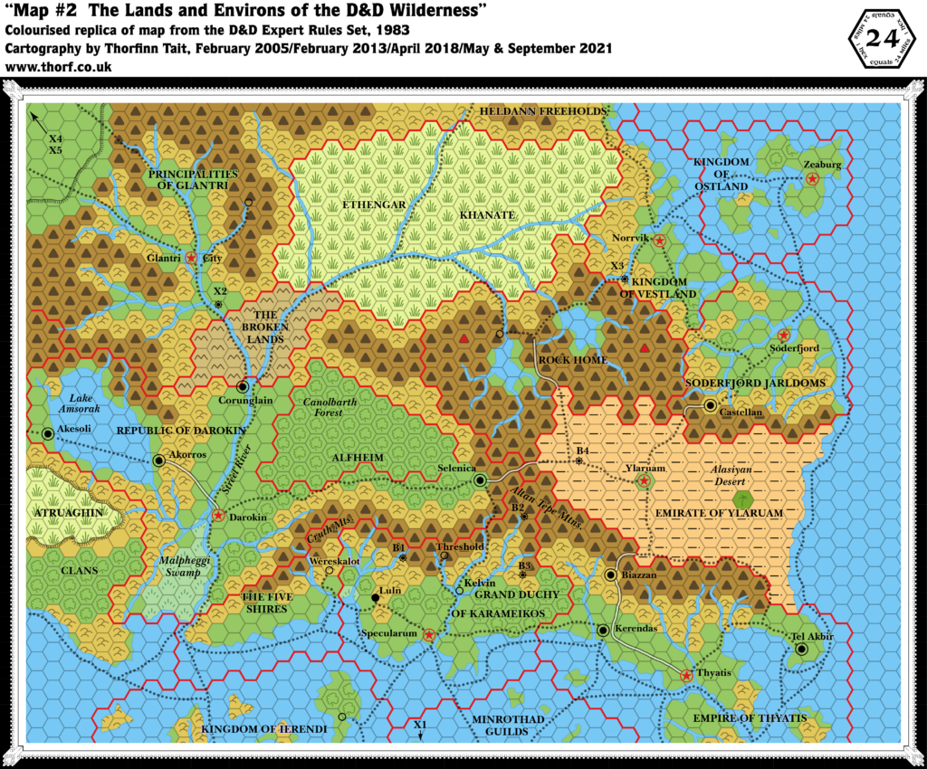
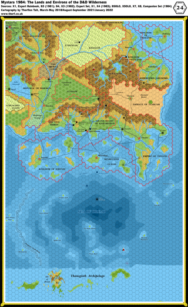
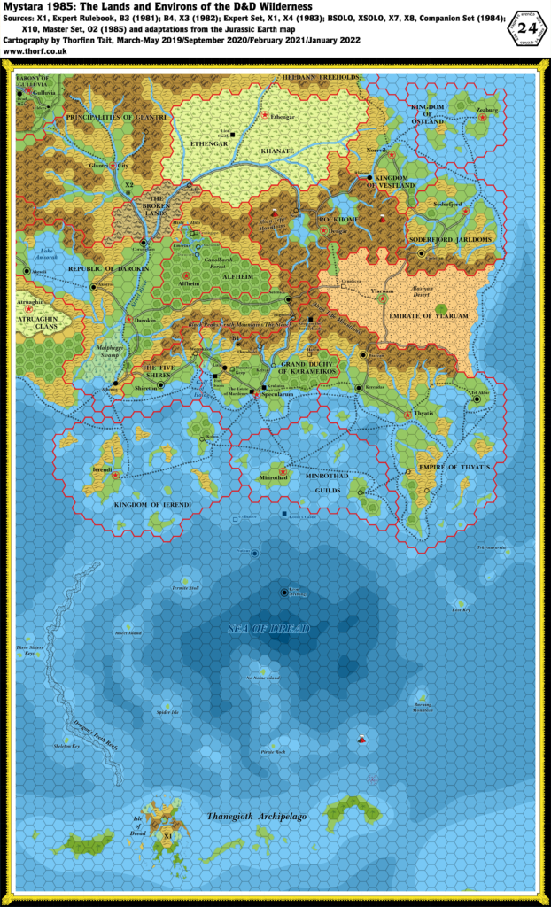
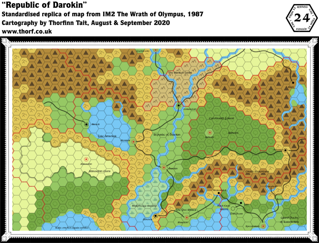
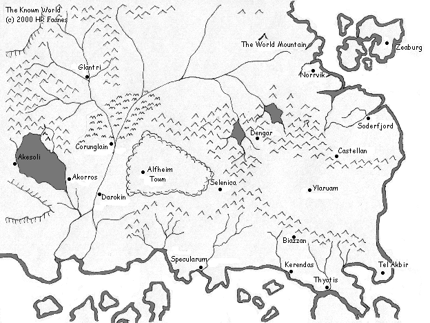
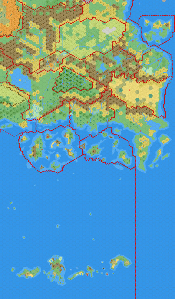
This map — the latter of the two he mentioned in his post — is typical of Mark’s early works, with his clear, uncluttered style along with the crisp, highly-finished art, accompanied by a no-nonsense plain sans serif font. The two versions below show an incremental update, providing a small peek into the development of the map. The files are just one day apart from each other, with all of the edits falling along the western edge of the map.
Fan-made Map by Mark Howard (March 2005)
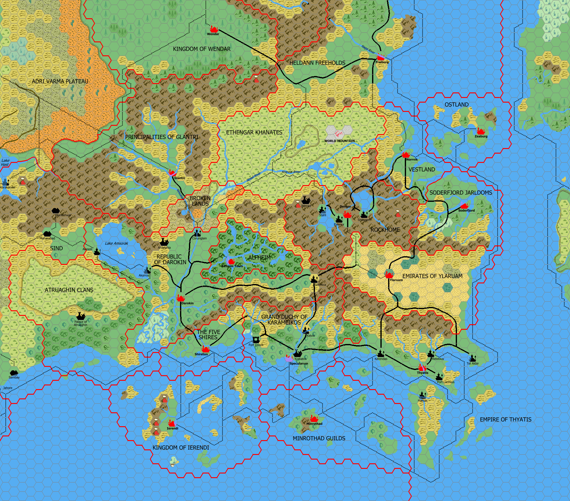
Fan-made Map by Mark Howard (March 2005)
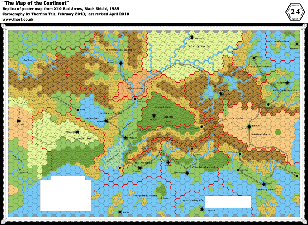
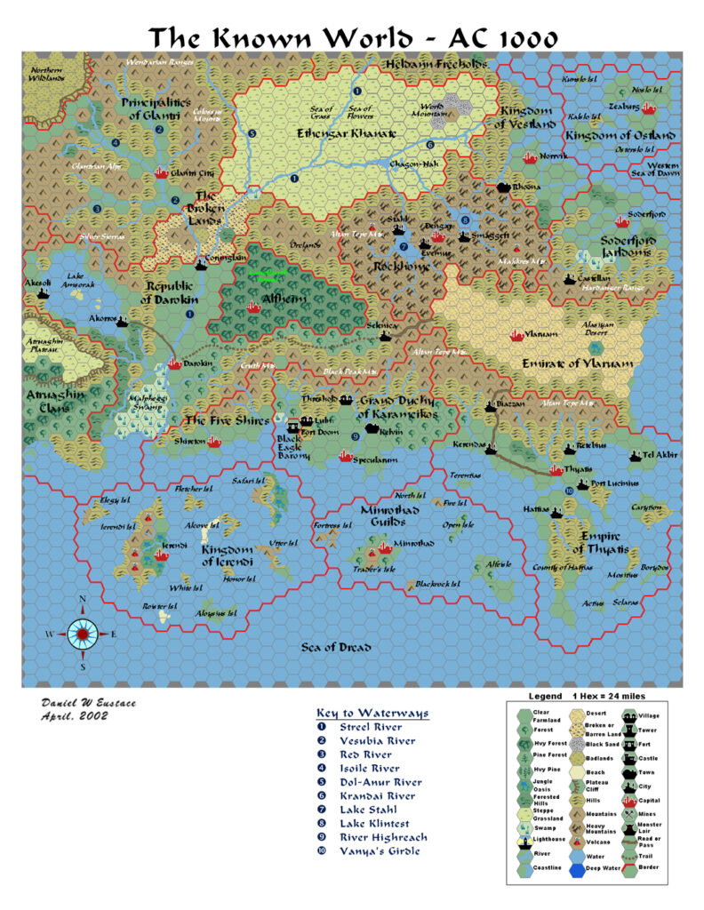
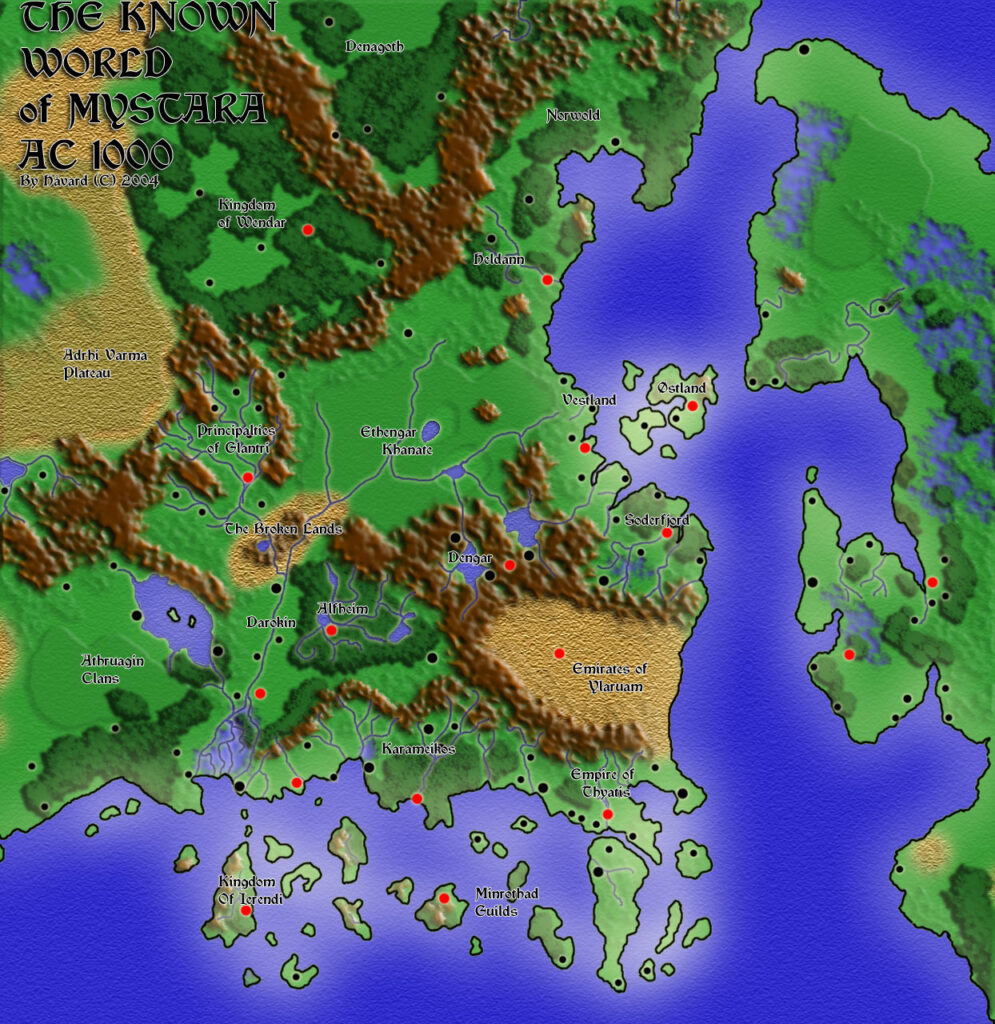
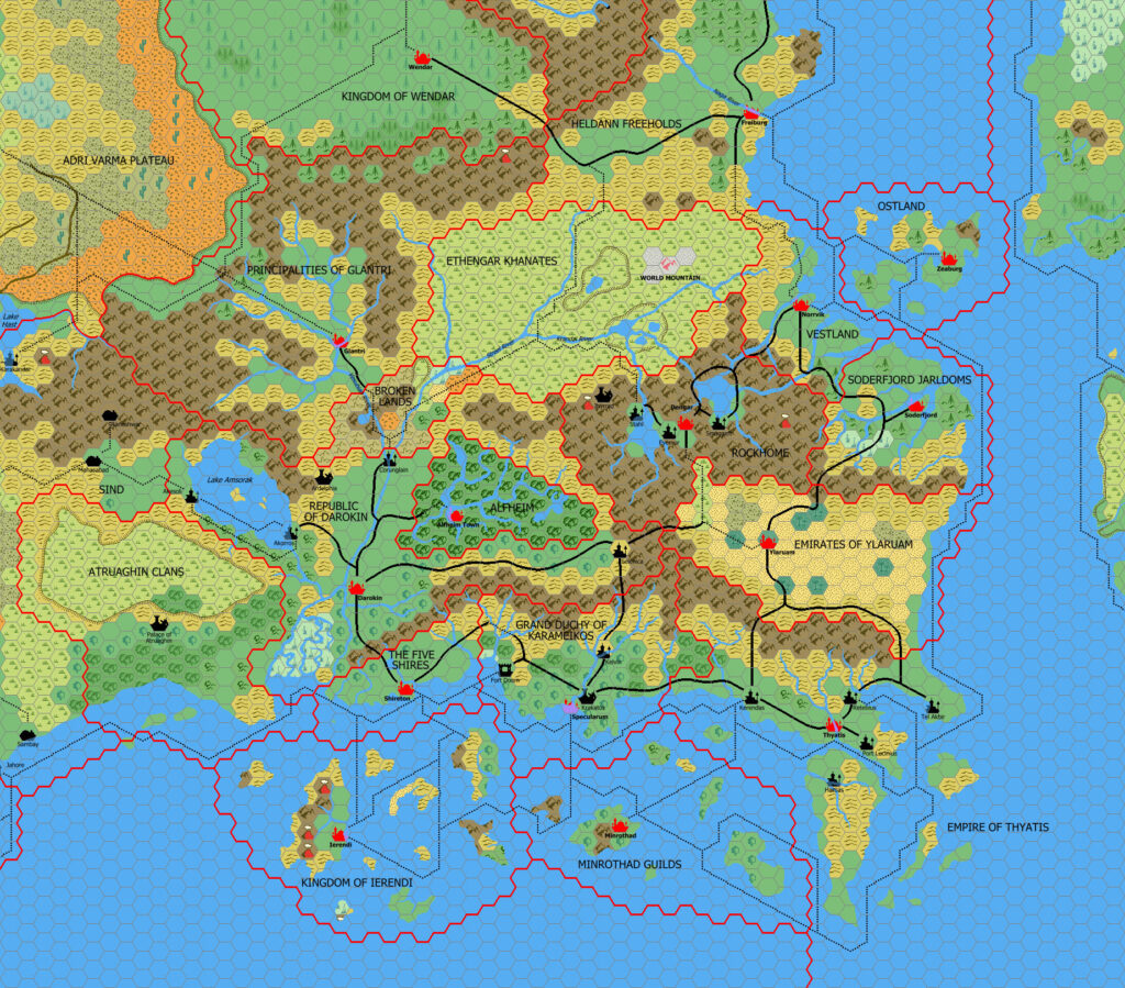
This is an original map created by one of Mystara’s excellent fan cartographers. For more information on the cartographer, including a gallery of all their maps, see also Appendix M: Mappers of Mystara.
Sources
- X1 The Isle of Dread (1981) (PDF at DriveThruRPG)
- Wrath of the Immortals (1992) (PDF at DriveThruRPG)
- And others…
Fan Sources
- More Maps of Mystara discussion thread at Wizards’ MMB, preserved at the Vaults of Pandius (March 2005)
References
- All of Mark’s maps at the Atlas of Mystara
- Mark’s entry in Appendix M: Mappers of Mystara (upcoming)
- Mark’s author page at the Vaults of Pandius
- Old Maps – Part 2. Mystara at 24 miles per hex at Mark’s web site (November 2018)
Chronological Analysis
This is a fan-made map. It was published in March 2005. The updated Atlas version of this map is not yet available. See also Appendix C for annual chronological snapshots of the area. For the full context of this map in Mystara’s publication history, see the upcoming Let’s Map Mystara 2005.
The following lists are from the Let’s Map Mystara project. Additions are new features, introduced in this map. Revisions are changes to previously-introduced features. Hex Art & Fonts track design elements. Finally, Textual Additions are potential features found in the related text. In most cases, the Atlas adopts these textual additions into updated and chronological maps.
Under Construction! Please check back again soon for updates.