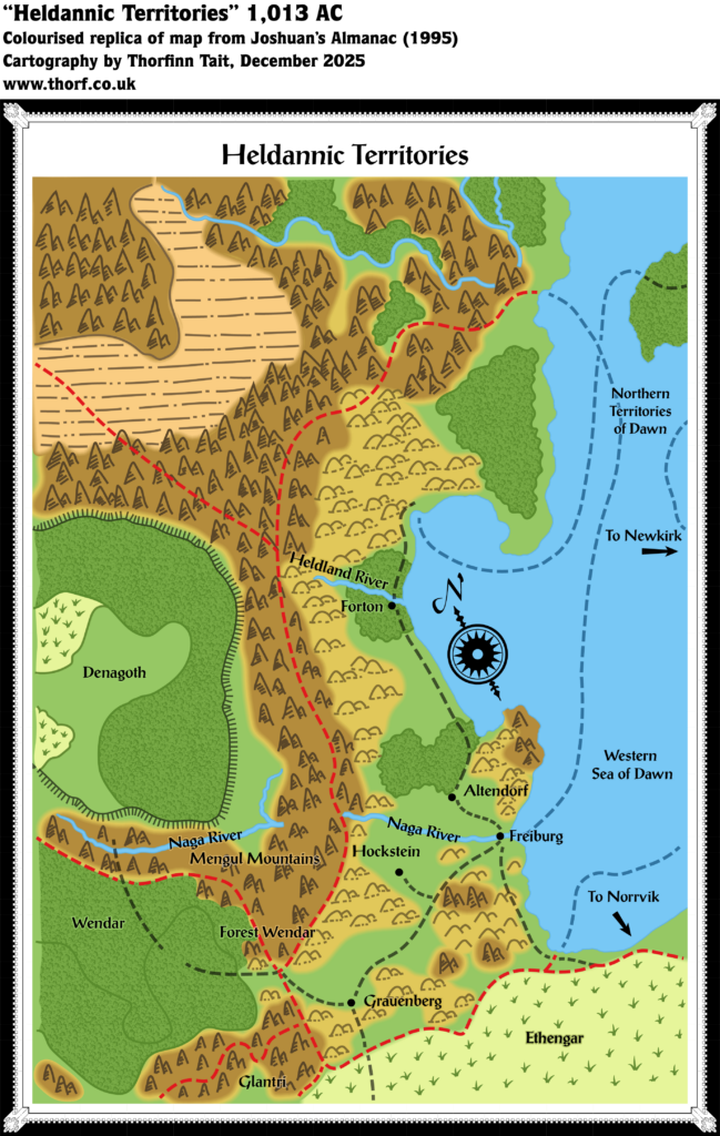
Joshuan’s Almanac Heldannic Territories
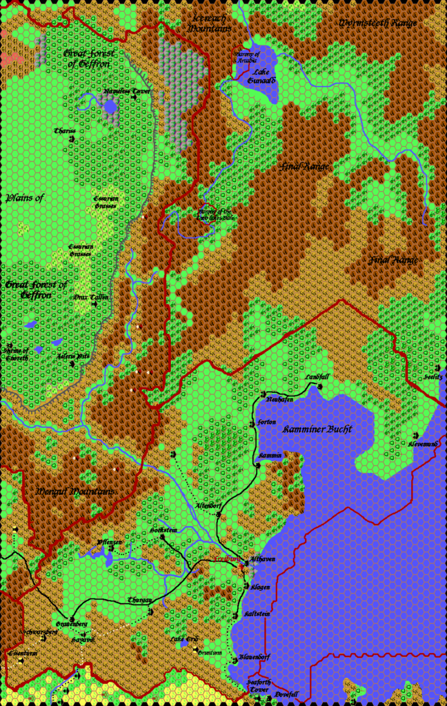
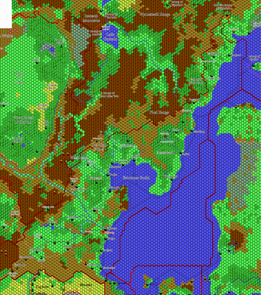
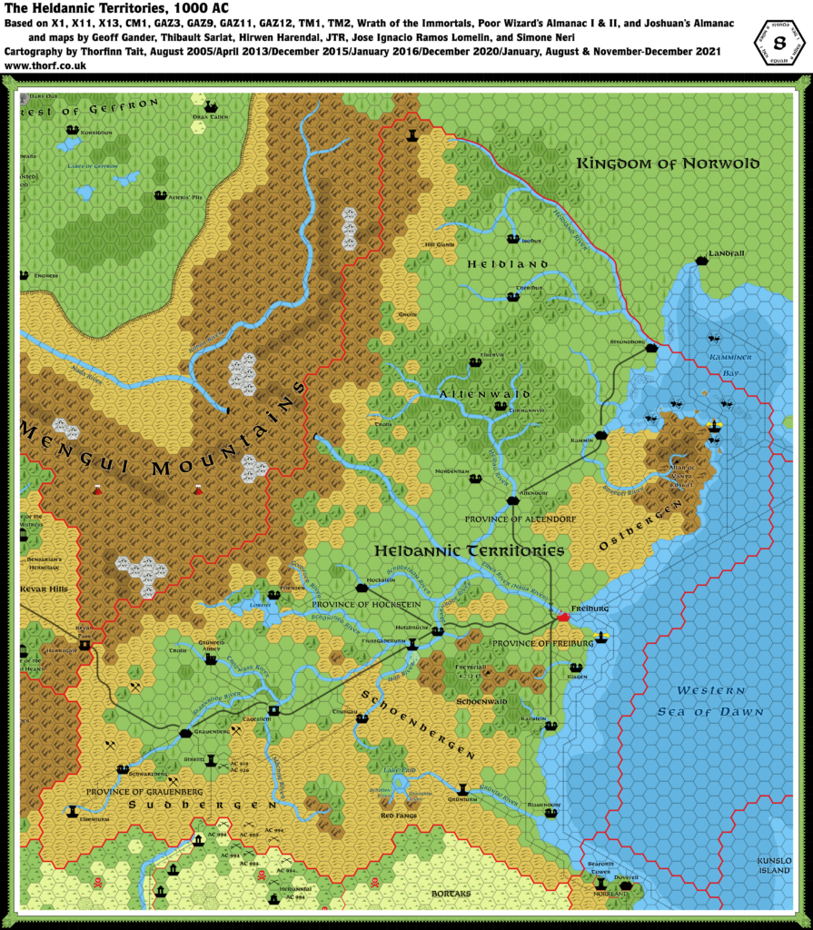
All of Joshuan’s Almanac’s maps were somewhat different from previous maps, but this one was perhaps the most problematic. For anyone familiar with the Norwold Conundrum (the problematic join between the Known World, Norwold, Wendar and Denagoth — centring on Heldann), this should come as no surprise.
The trouble began north of Altendorf. The southern portion of the map was pretty accurate to previous sources, including the Poor Wizard’s Almanac I and II maps. The northern portion, from Landfall (not marked for some reason) upwards, was also a reasonable fit. But the entire stretch from north of Altendorf through Forton and the Heldland River should not have been there. Essentially, there is too much coast, and the stretch next to the compass rose doesn’t exist on other maps.
It was a mess, but as noted this was a highly problematic area, and many other maps made the same mistake.
The main trouble with this is that this map is the primary source for Forton and the Heldland River. Fan cartographers in the years since have attempted to fit this in, mostly by placing Forton and the Heldland River on the (shortened) coast of the bay.
There was one more issue with this map, and it’s one that was also present in the Joshuan’s Almanac Five Shires map: confusing black lines. On this map, there were two problem areas, one in the north, the other in the southwest. I have interpreted the former area as rivers, although the rivers stop short of the coast. The southwestern line runs in a winding loop through Wendar’s forest, and for now I have left it as a forest edge. Another interpretation would be to consider it a river, with the same problem as the northern lines, as it doesn’t appear to flow to anywhere — and indeed the southern line seems to merge with the bottom edge of the forest there.
Replica Map (December 2025)

Sources
- Joshuan’s Almanac (1995) (PDF at DriveThruRPG)
- Page 30 map, Cartography by Eric Hotz, Paul Hanchette
References
- New Maps: Joshuan’s Almanac Known World Events post at Patreon
Chronological Analysis
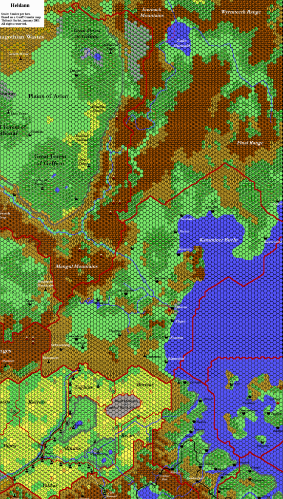
This is Map 295. It was published in December 1995. The updated version of this map has not been released yet. See also Appendix C for annual chronological snapshots of the area. For the full context of this map in Mystara’s publication history, see Let’s Map Mystara 1995.
The following lists are from the Let’s Map Mystara project. Additions are new features, introduced in this map. Revisions are changes to previously-introduced features. Hex Art & Fonts track design elements. Finally, Textual Additions are potential features found in the related text. In most cases, the Atlas adopts these textual additions into updated and chronological maps.
Under Construction! Please check back again soon for updates.
Additions
- XXX —
Revisions
- XXX —
Hex Art & Fonts
- Hex Art —
- Fonts —
Textual Additions (Joshuan’s Almanac, December 1995)
- XXX —
Past and Future Versions of this Map