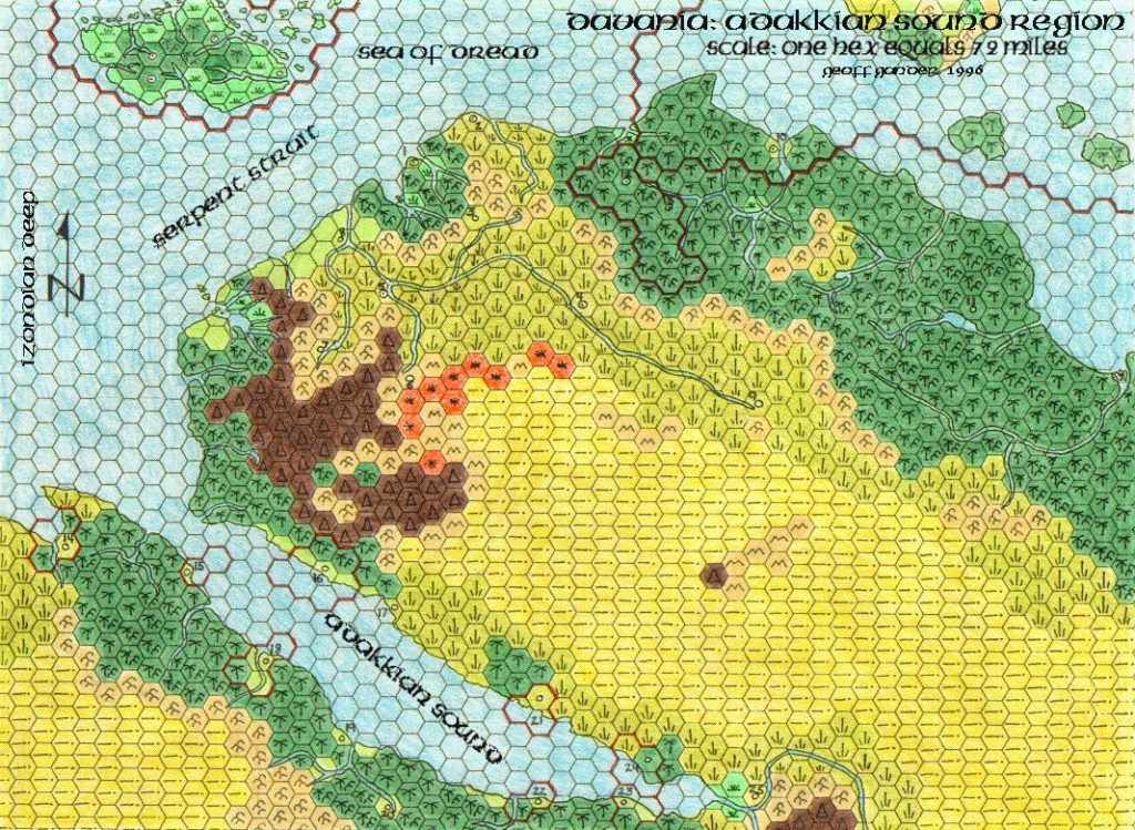
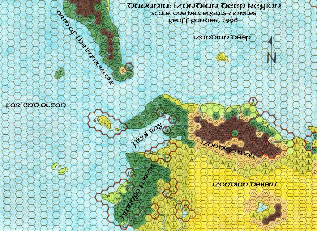
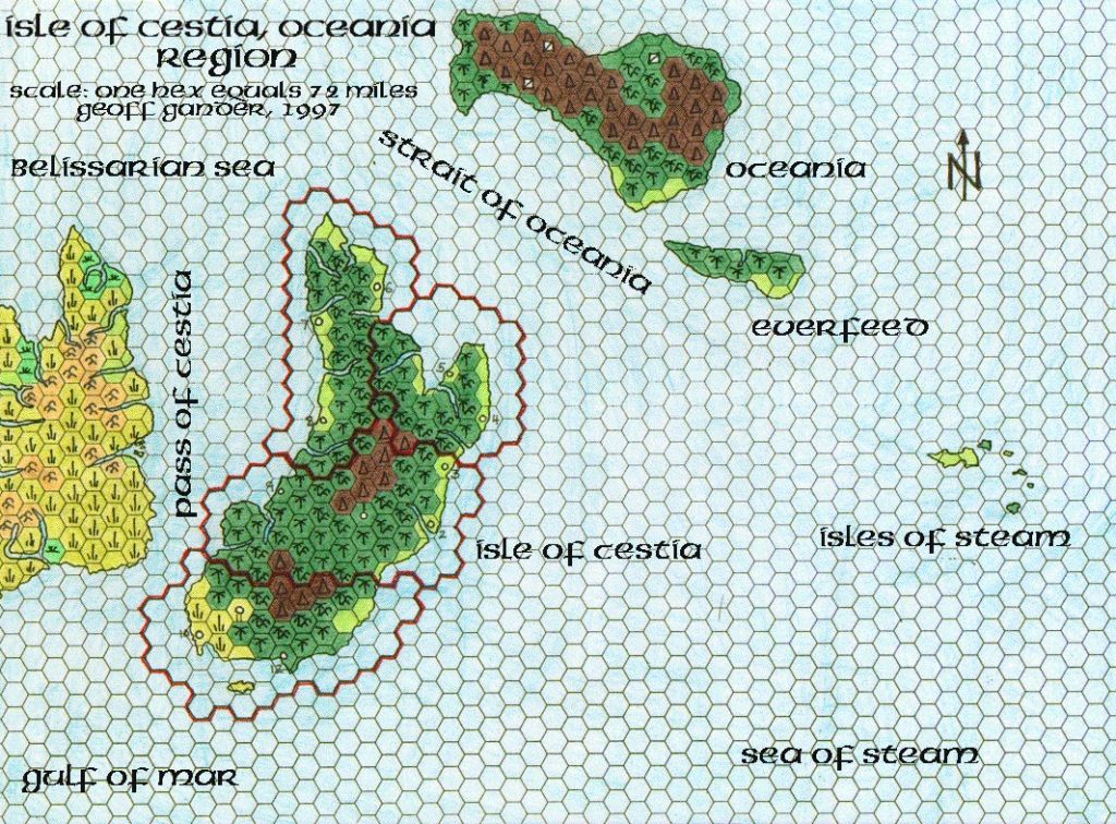
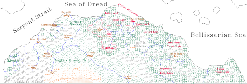
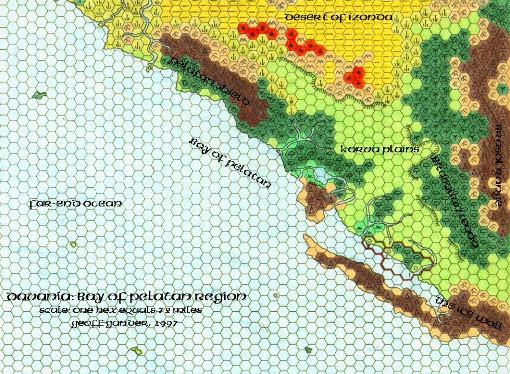
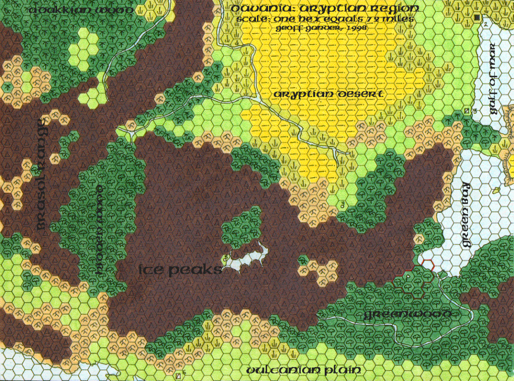
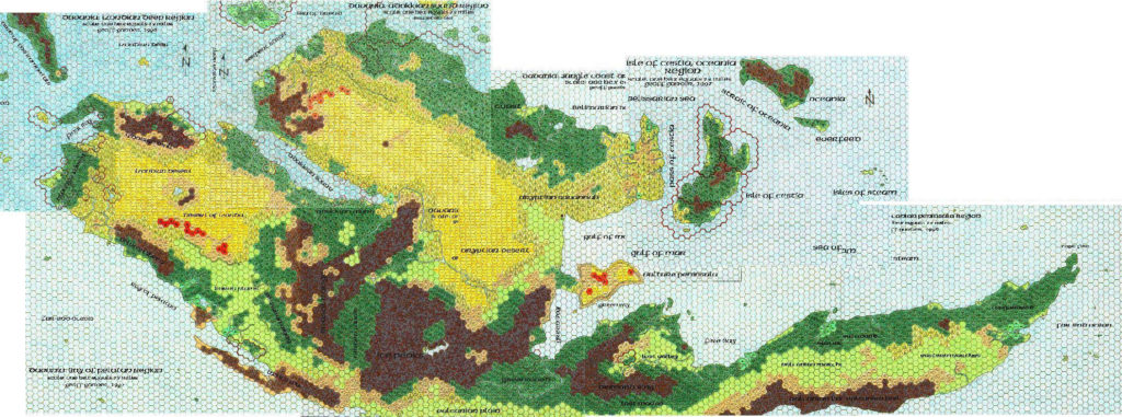
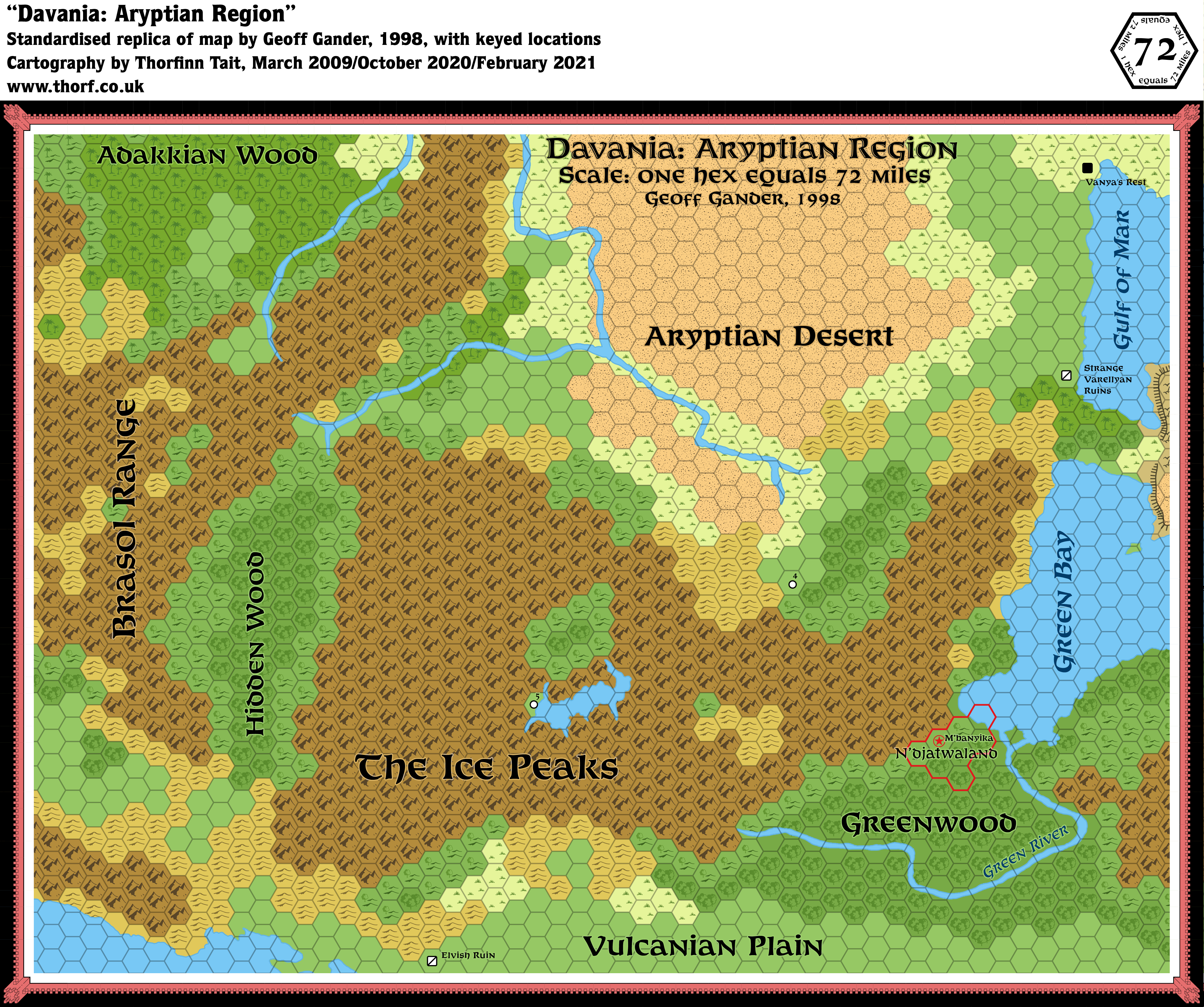
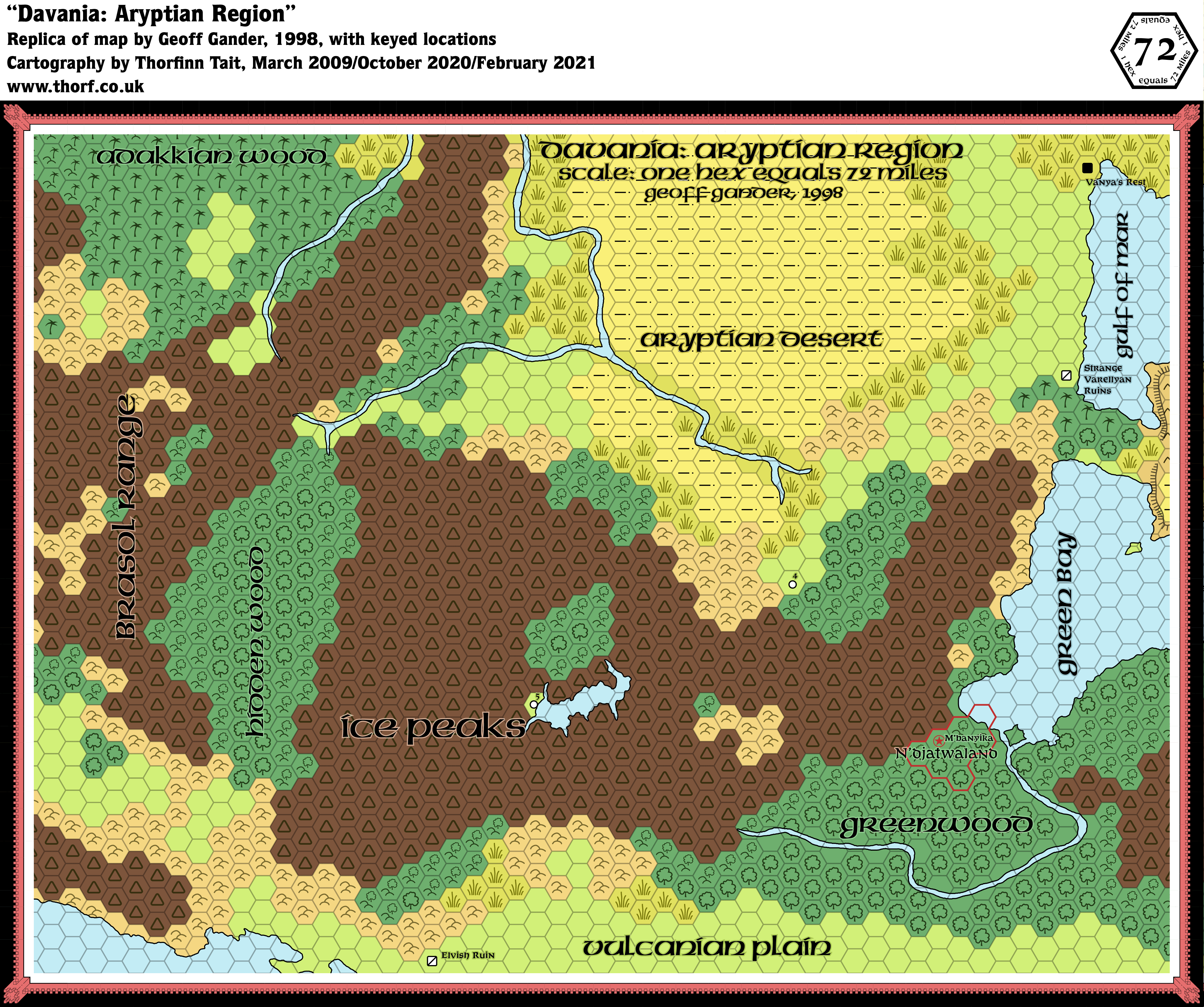
Geoff’s Aryptian Region, 72 miles per hex
The last part of Geoff’s Davania! The title is “Aryptian Region”, but really this one is a little bit of everything, with parts of Adakkia, Varellya, Vulcania, Green Bay, Brasol, and of course Arypt — specifically, the Aryptian Desert.
But the central feature is of course the Ice Peaks, which are the biggest area of solid mountains marked on any map of Mystara. This of course means that they pose a unique problem to any cartographer, because thousands of miles of continuous mountains are pretty boring. Geoff tackled this by adding a lake and some valleys hidden in the heart of the range.
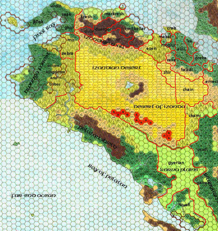
And with this final piece, Davania was done — at 72 miles per hex, that is. Ah, a cartographer’s work is never done… What Geoff started, others would later continue. But that story is for another post.
Fan-made Map by Geoff Gander (May 1998)

This is an original map created by one of Mystara’s excellent fan cartographers. For more information on the cartographer, including a gallery of all their maps, see also Appendix M: Mappers of Mystara.
Standardised Replica Fan-made Map (February 2021)
Replica Fan-made Map with Original Palette (February 2021)
Sources
- Hollow World Campaign Set (1990) (PDF at DriveThruRPG)
- The Voyage of the Princess Ark Part 6: A culture with a different sense of taste, Dragon #158 (June 1990)
Secondary Sources
- Locations from the Aryptian Region map from the MMB posted 28 December 2006 (Vaults of Pandius)
References
- All of Geoff’s maps at the Atlas of Mystara
- Geoff’s entry in Appendix M: Mappers of Mystara
- Geoff’s author page at the Vaults of Pandius
Chronological Analysis
This is a fan-made map. It was published in May 1998. The updated Atlas version of this map is not yet available. See also Appendix C for annual chronological snapshots of the area. For the full context of this map in Mystara’s publication history, see the upcoming Let’s Map Mystara 1998.
The following lists are from the Let’s Map Mystara project. Additions are new features, introduced in this map. Revisions are changes to previously-introduced features. Hex Art & Fonts track design elements. Finally, Textual Additions are potential features found in the related text. In most cases, the Atlas adopts these textual additions into updated and chronological maps.
Coming Soon