Cthulhudrew’s Karameikos, 8 miles per hex
In 1998, Andrew Theisen developed his own mapping template system using MS Paint. This was one of his earliest maps, following on the heels of his Great Crater series. As with those maps, Andrew set himself the task of updating the official maps to reflect changes that occurred in the Poor Wizard’s Almanac series, as well as the continuing fan-written Mystaran Almanac series.
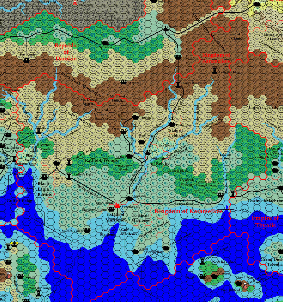
Andrew’s Karameikos adds borders and labels for the new estates granted to the Alfheim elf refugees: the Estate of Achelos in the far west, and the Estate of Radlebb just east of Koriszegy Keep. Then he went a step further, incorporating B10’s Lost Valley of Hutaaka and extending the Foamfire River northwards towards it. Reconciling B10 with the 8 mile per hex Karameikos maps is a difficult task, and Andrew was the first to take a swing at it. His result is a couple of hexes out from where I later placed it in Karameikos, 6 miles per hex (1986), but he correctly recognised that it lies across the (modern) border, in lands claimed (at least on paper) by Darokin.
Strangely enough, although he included information from Karameikos: Kingdom of Adventure, Andrew clearly based his map on GAZ1’s version of Karameikos, as evidenced by the lack of forested hill hexes and the omission of Vandevicsny.
Fan-made Map by Andrew Theisen (November 1998)
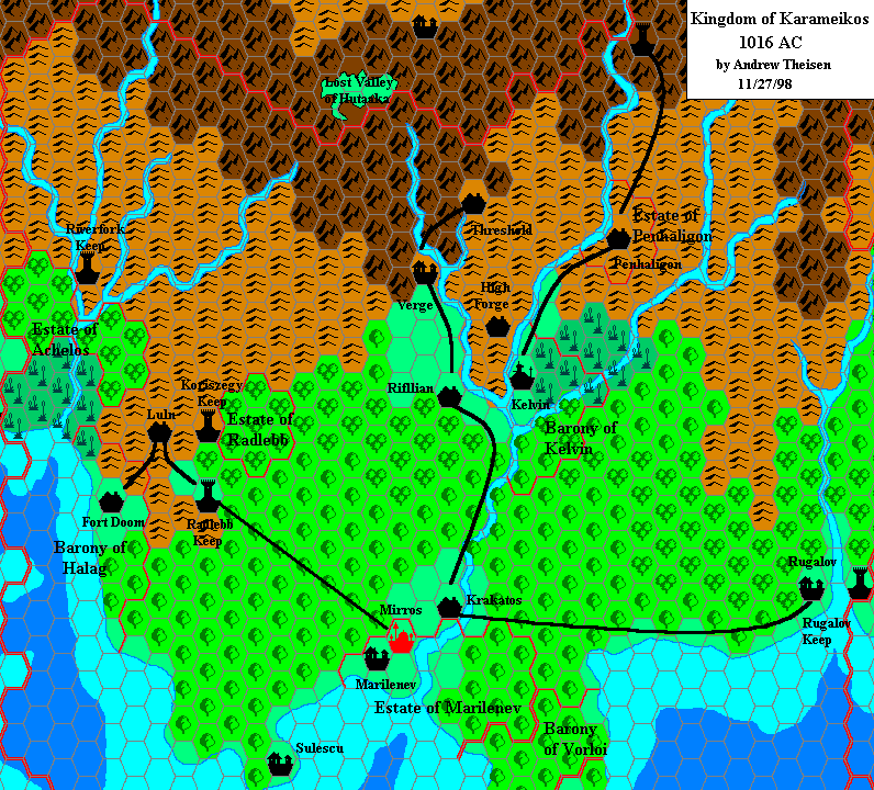
This is an original map created by one of Mystara’s excellent fan cartographers. For more information on the cartographer, including a gallery of all their maps, see also Appendix M: Mappers of Mystara.
Sources
- GAZ1 The Grand Duchy of Karameikos (1987) (PDF at DriveThruRPG)
- Karameikos: Kingdom of Adventure (1994) (PDF at DriveThruRPG)
- B10 Night’s Dark Terror (1986) (PDF at DriveThruRPG)
- Poor Wizard’s Almanac (1992) (PDF at DriveThruRPG)
- Poor Wizard’s Almanac II (1993) (PDF at DriveThruRPG)
- Poor Wizard’s Almanac III (1994) (PDF at DriveThruRPG)
- Joshuan’s Almanac (1995) (PDF at DriveThruRPG)
Fan Sources
- Mystaran Almanac AC 1014 (1997) (Vaults of Pandius)
- Mystaran Almanac AC 1015 (1998-1999) (Vaults of Pandius)
References
- Andrew’s entry in Appendix M: Mappers of Mystara
- Andrew’s author page at the Vaults of Pandius
Chronological Analysis
This is a fan-made map. It was published in November 1998. The updated Atlas version of this map is Karameikos, 8 miles per hex; an updated 1016 AC map is not yet available. See also Appendix C for annual chronological snapshots of the area. For the full context of this map in Mystara’s publication history, see the upcoming Let’s Map Mystara 1998.
The following lists are from the Let’s Map Mystara project. Additions are new features, introduced in this map. Revisions are changes to previously-introduced features. Hex Art & Fonts track design elements. Finally, Textual Additions are potential features found in the related text. In most cases, the Atlas adopts these textual additions into updated and chronological maps.
Under Construction! Please check back again soon for updates.
Additions
- Borders — Andrew marked the precise location and borders of the Estate of Achelos and the Estate of Radlebb. Karameikos: Kingdom of Adventure gave the general locations for both of these, but not the specifics. This was the first time for them to appear on a map.
- Lost Valley — This is the first map since B10 to mark the exact area and shape of the Lost Valley of Hutaaka, and the first ever at this scale; other maps always marked it as a rather ambiguous map label, if at all. In doing this, Andrew extended the Foamfire River northwards from the course shown on GAZ1, to better match B10’s version.



19 April 2022 @ 12:13 pm
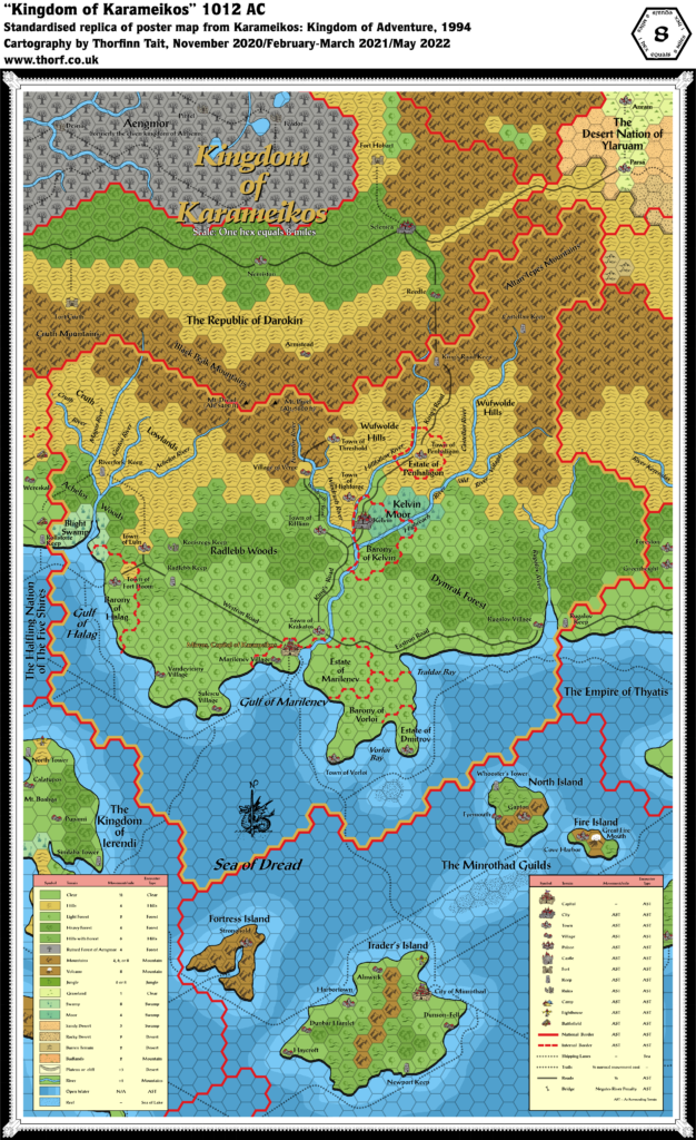
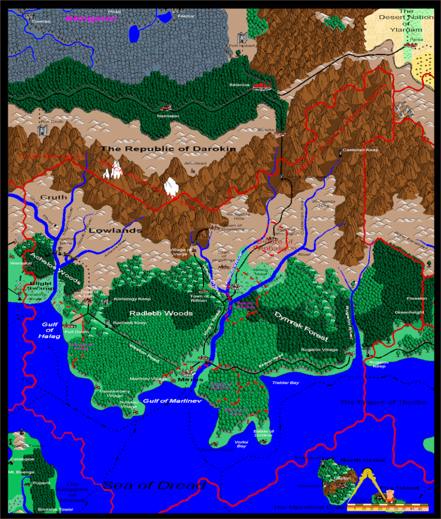
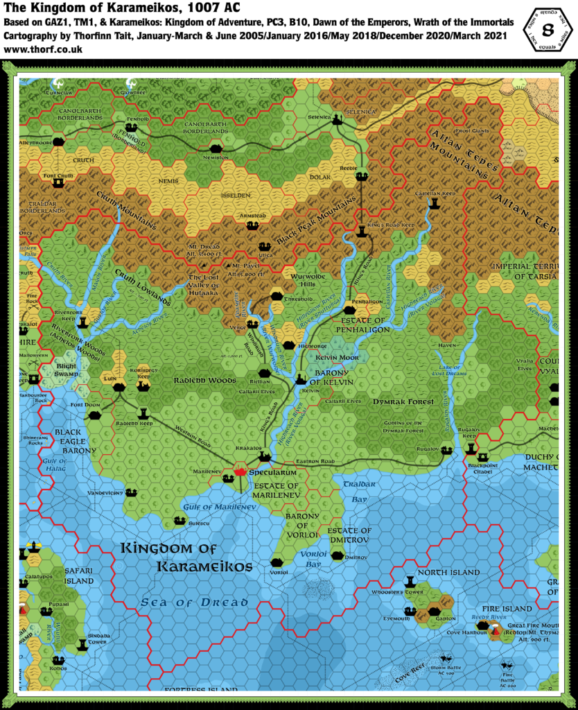
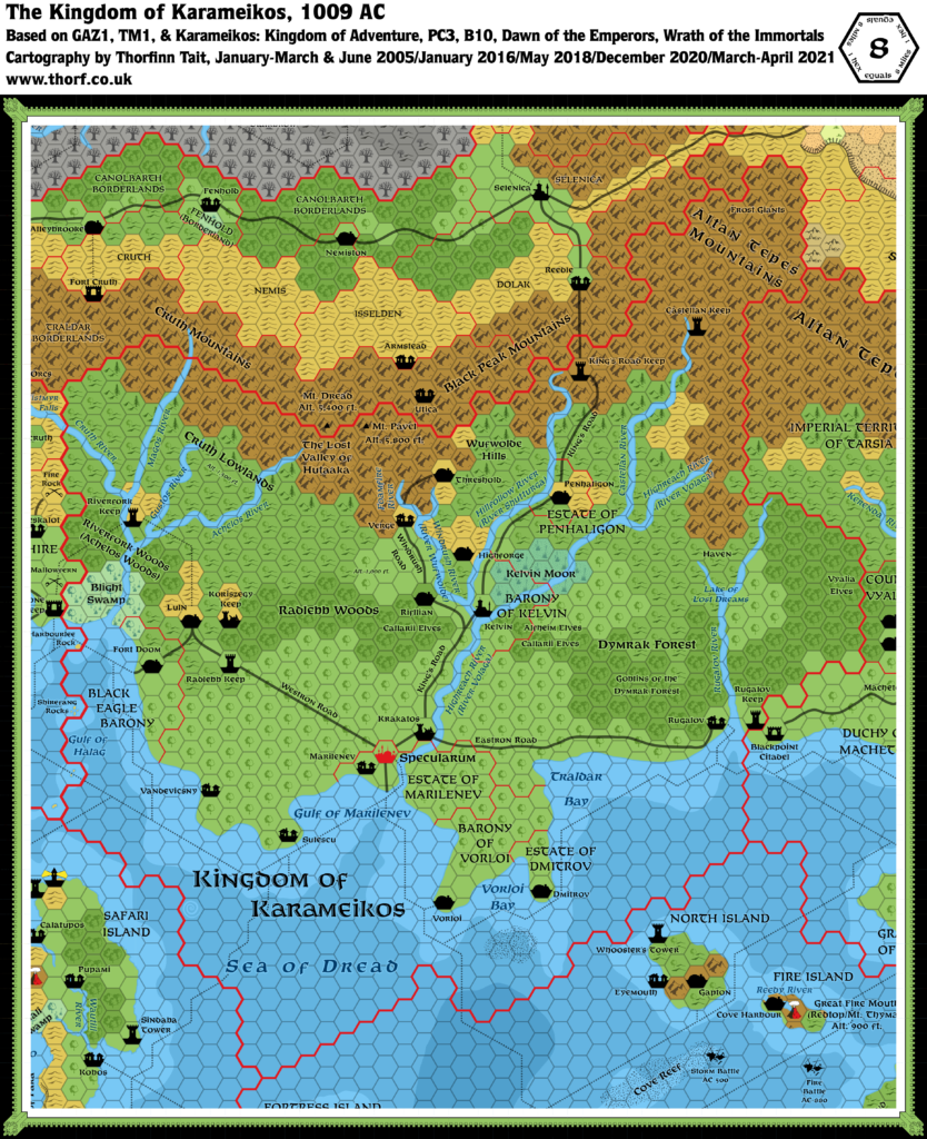
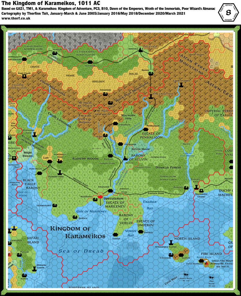
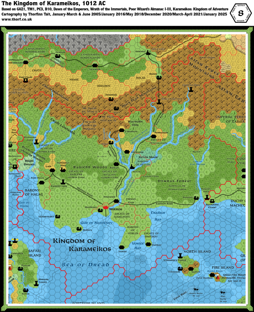
Not sure when the city was still called Mirros, yet was the capital of a kingdom. Also, doesn’t show all that many road.
5 May 2022 @ 11:20 am
Karameikos was declared a kingdom in 1006 AC. Specularum changed to Mirros on Nuwmont 1, 1012 AC.
As to the content of the map, remember that this was one of the earliest digital maps of Karameikos anyone made. It’s also more than 20 years old at this point.