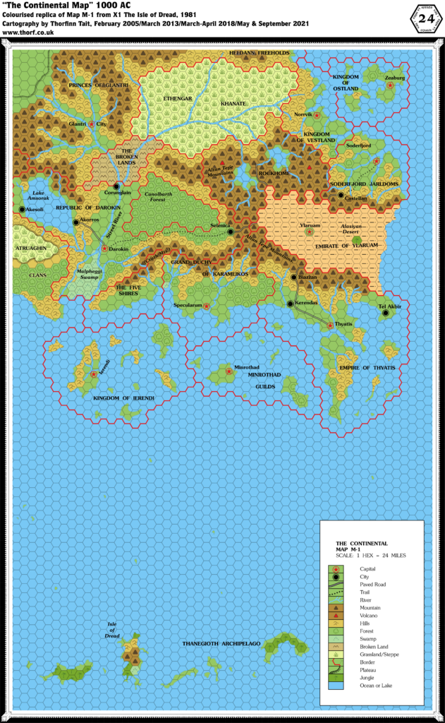
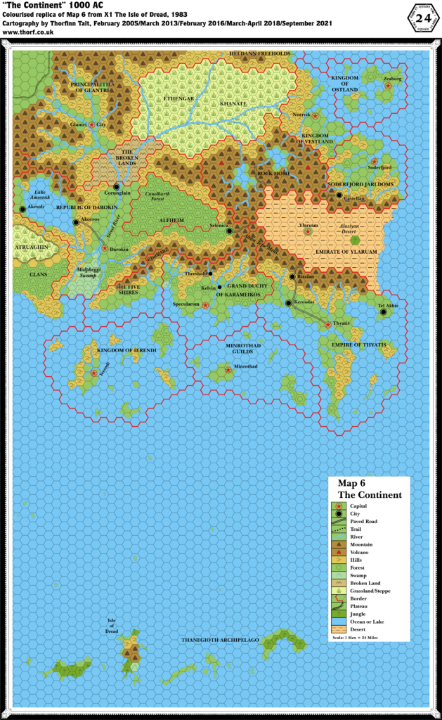
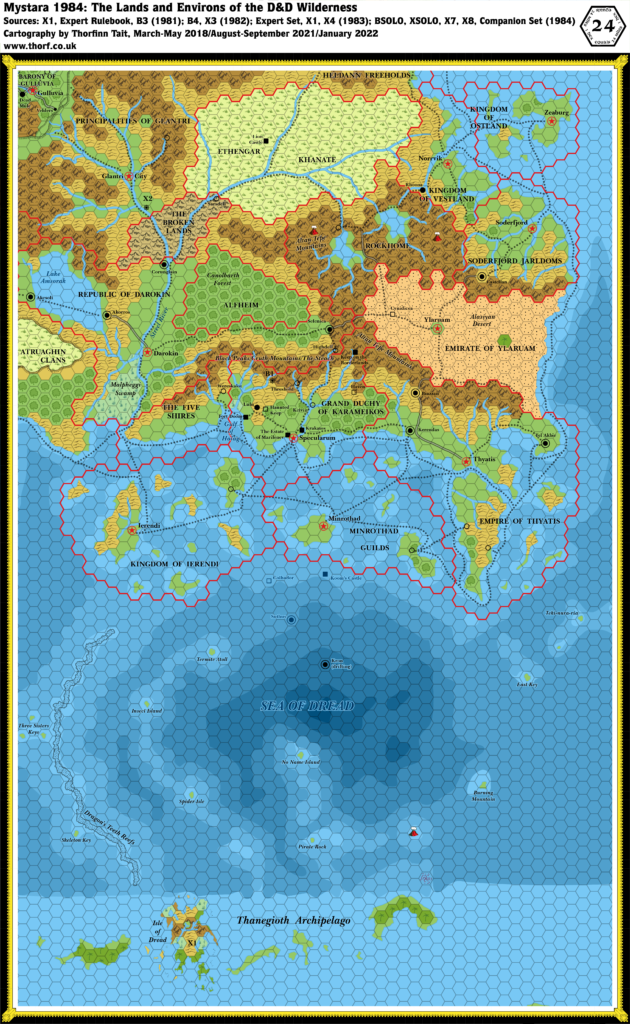
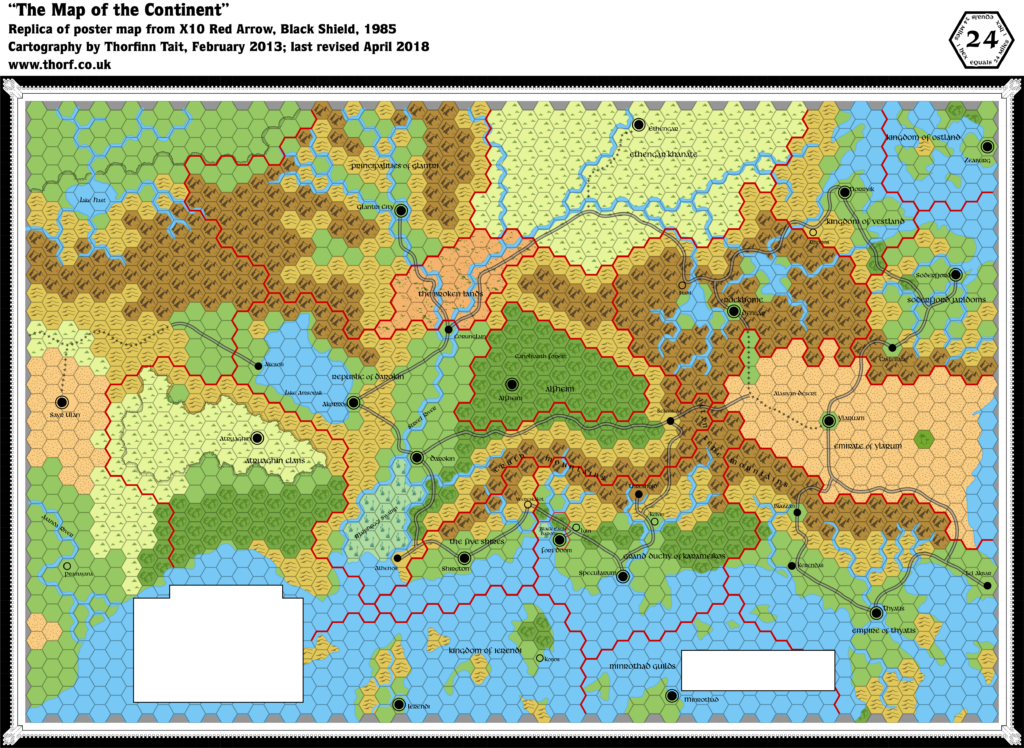
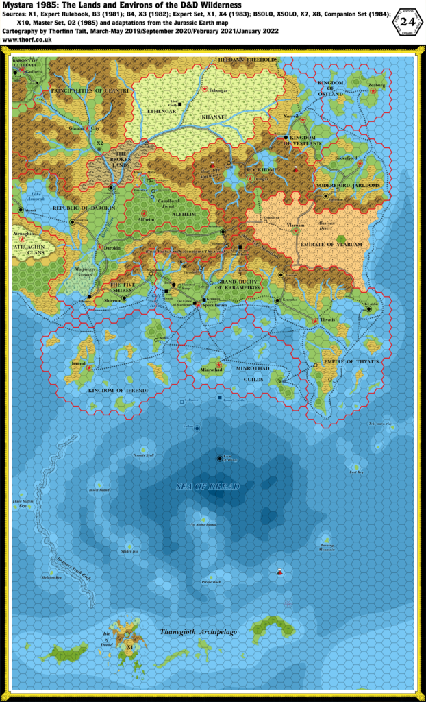
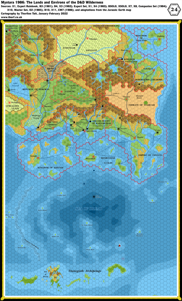
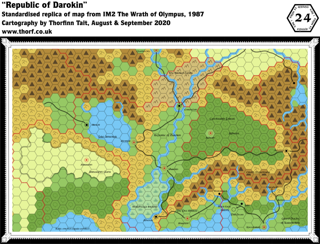
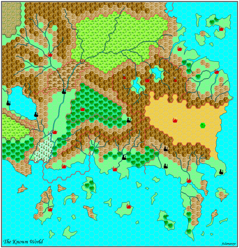
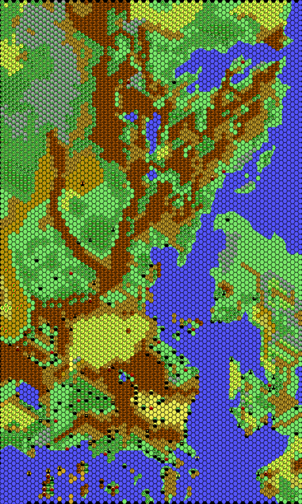
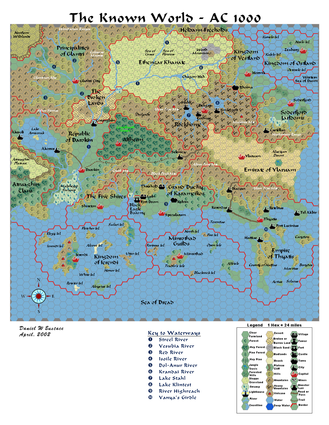
Dan’s Known World, 24 miles per hex
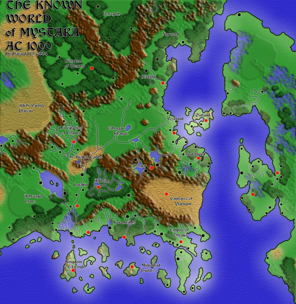
After his influential Leehashire, 4 miles per hex map, the only other map Dan has shared (so far) is this map of the Known World. There have been many Known World maps over the years, but Dan’s is among the most significant, because it was featured in The Newbie’s Guide to Mystara. In fact, it was the only map included, making it somewhat of an ambassador for our favourite setting.
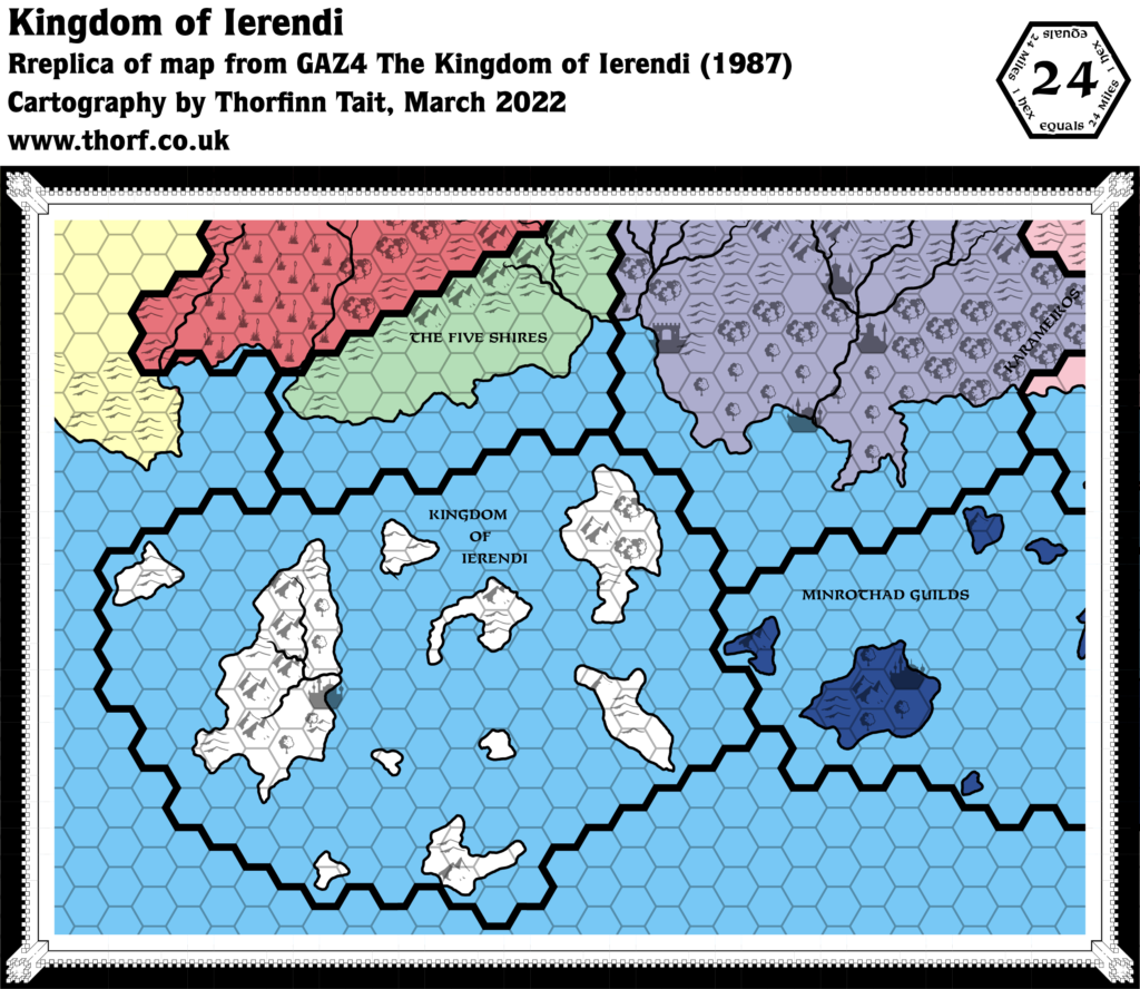
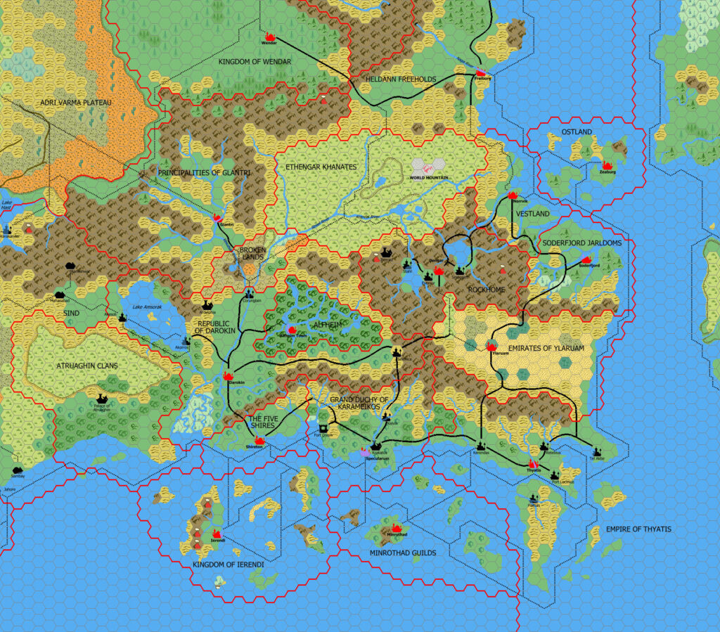
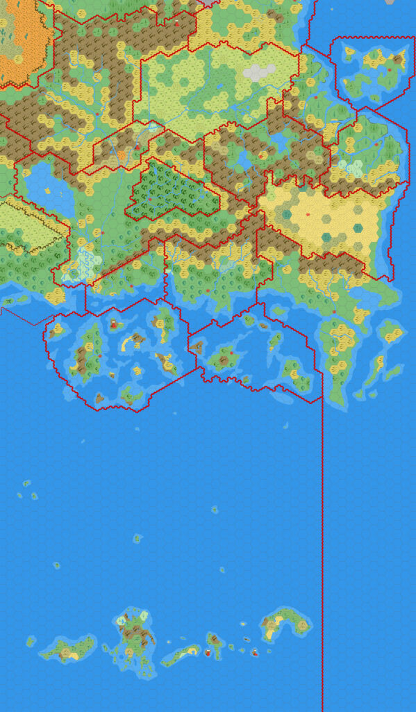
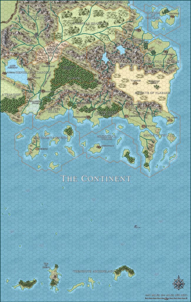
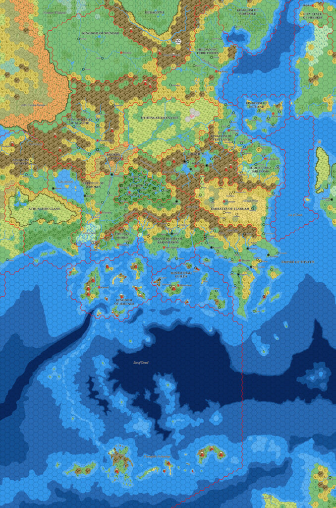
The details of the map suggest that Dan based it on the original X1 map. But he also went a step beyond that and updated it with various details from the Gazetteer series, such as Ethengar’s World Mountain and surrounding black sands, the terrain of the Atruaghin Plateau, and the terrain and names of Ierendi and Minrothad’s islands — to name but a few.
How far to go in including these details is always a challenge, because it’s pretty much impossible to bring in everything from the larger scale maps. One major detail that Dan did not update is the Known World’s network of roads and trails; instead, he went in the opposite direction, reproducing a trimmed version of X1’s trails.
Looking back, despite the fact that he only shared two maps, Dan’s influence on the world of Mystaran cartography has been rather large. Let’s hope that he shares more of his maps in the future!
Fan-made Map by Dan Eustace (April 2002)
This is an original map created by one of Mystara’s excellent fan cartographers. For more information on the cartographer, including a gallery of all their maps, see also Appendix M: Mappers of Mystara.
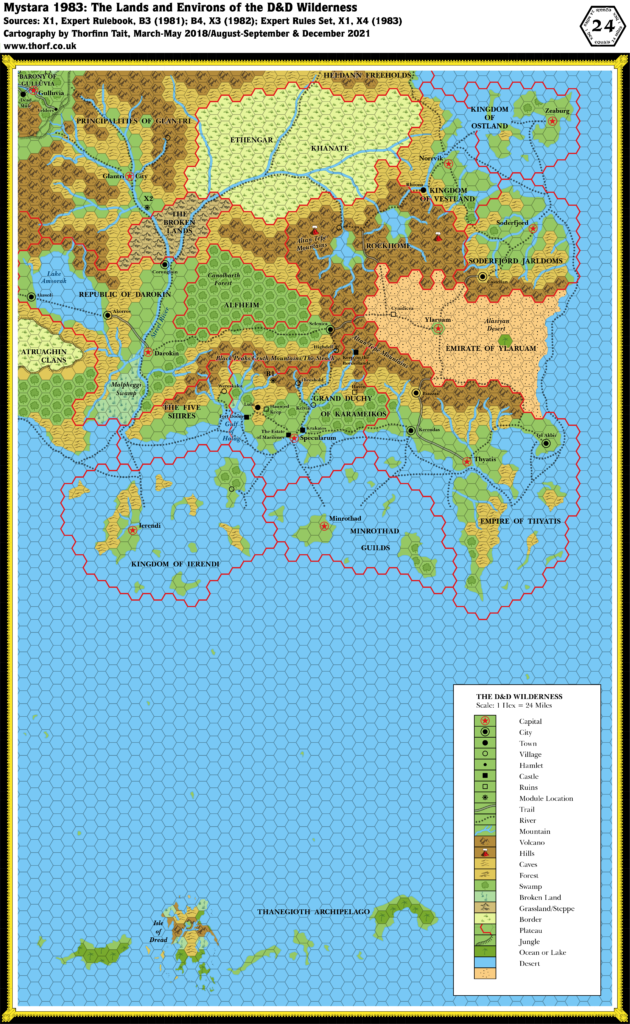
Sources
- X1 The Isle of Dread (1981) (PDF at DriveThruRPG)
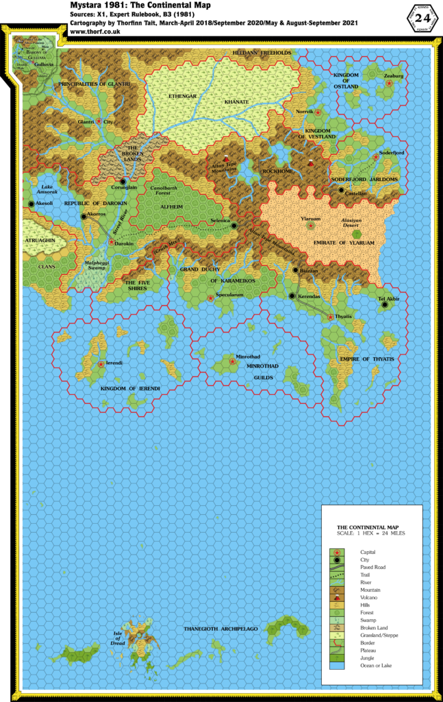
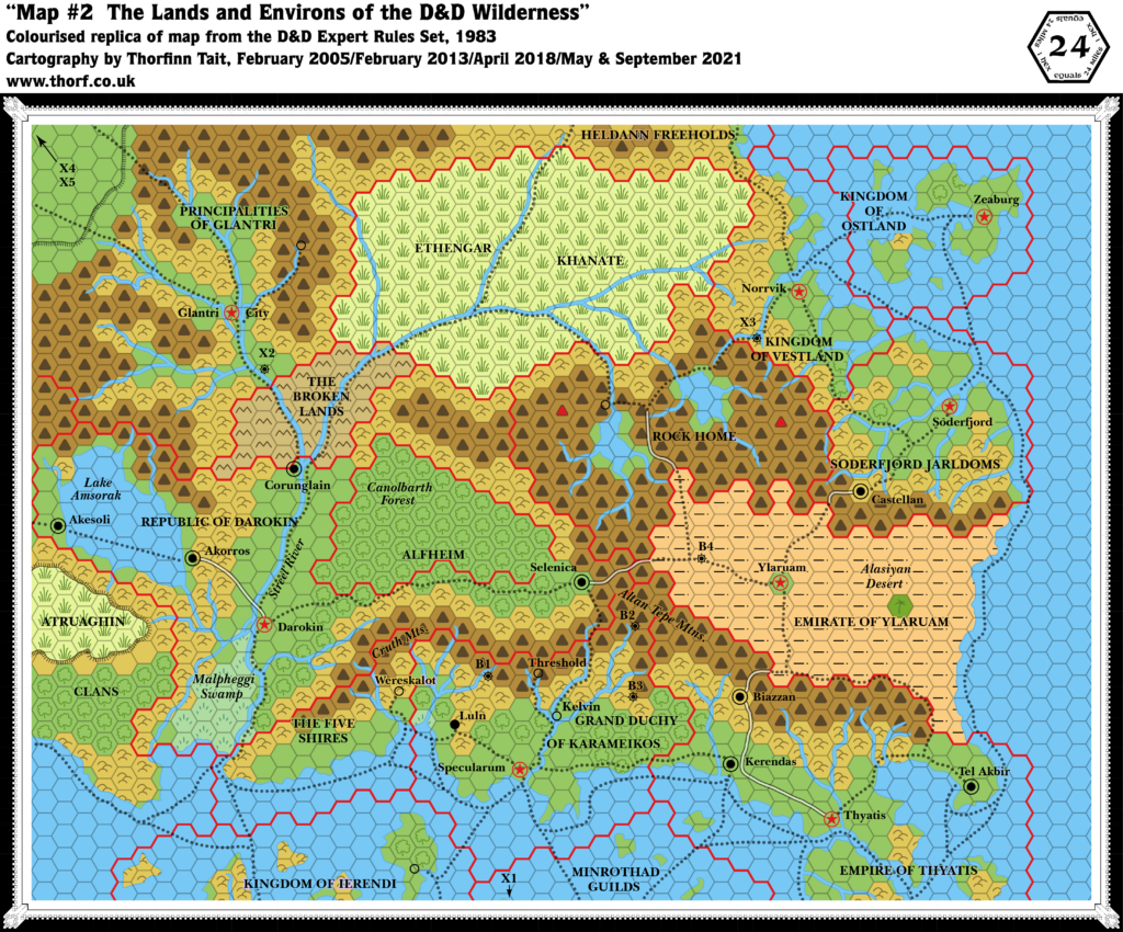
- Known World, 24 miles per hex (1981)
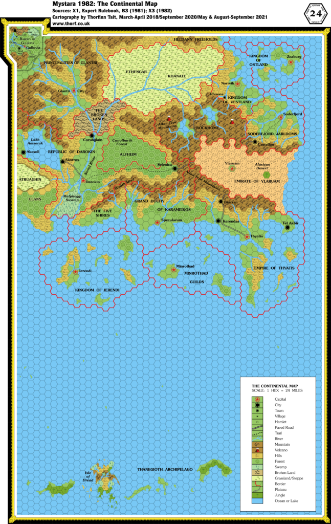
- Known World, 24 miles per hex (1983)
Fan Sources
References
- All of Dan’s maps at the Atlas of Mystara
- Dan’s entry in Appendix M: Mappers of Mystara (upcoming)
- Dan’s author page at the Vaults of Pandius
Chronological Analysis
This is a fan-made map. It was published in April 2002. The updated Atlas version of this map is not yet available. See also Appendix C for annual chronological snapshots of the area. For the full context of this map in Mystara’s publication history, see the upcoming Let’s Map Mystara 2001. (Please note that it may be some time before the project reaches this point.)
The following lists are from the Let’s Map Mystara project. Additions are new features, introduced in this map. Revisions are changes to previously-introduced features. Hex Art & Fonts track design elements. Finally, Textual Additions are potential features found in the related text. In most cases, the Atlas adopts these textual additions into updated and chronological maps.
Under Construction! Please check back again soon for updates.
Additions
- Settlements —
Revisions
Hex Art & Fonts
- Fonts —