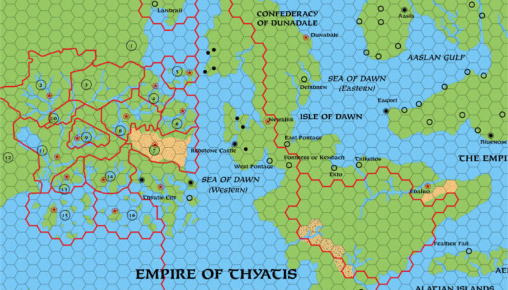
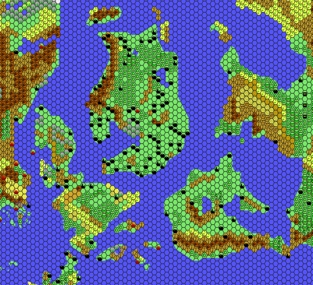
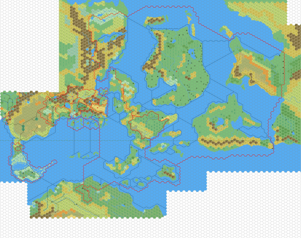
Dawn of the Emperors Empire of Thyatis, 72 miles per hex
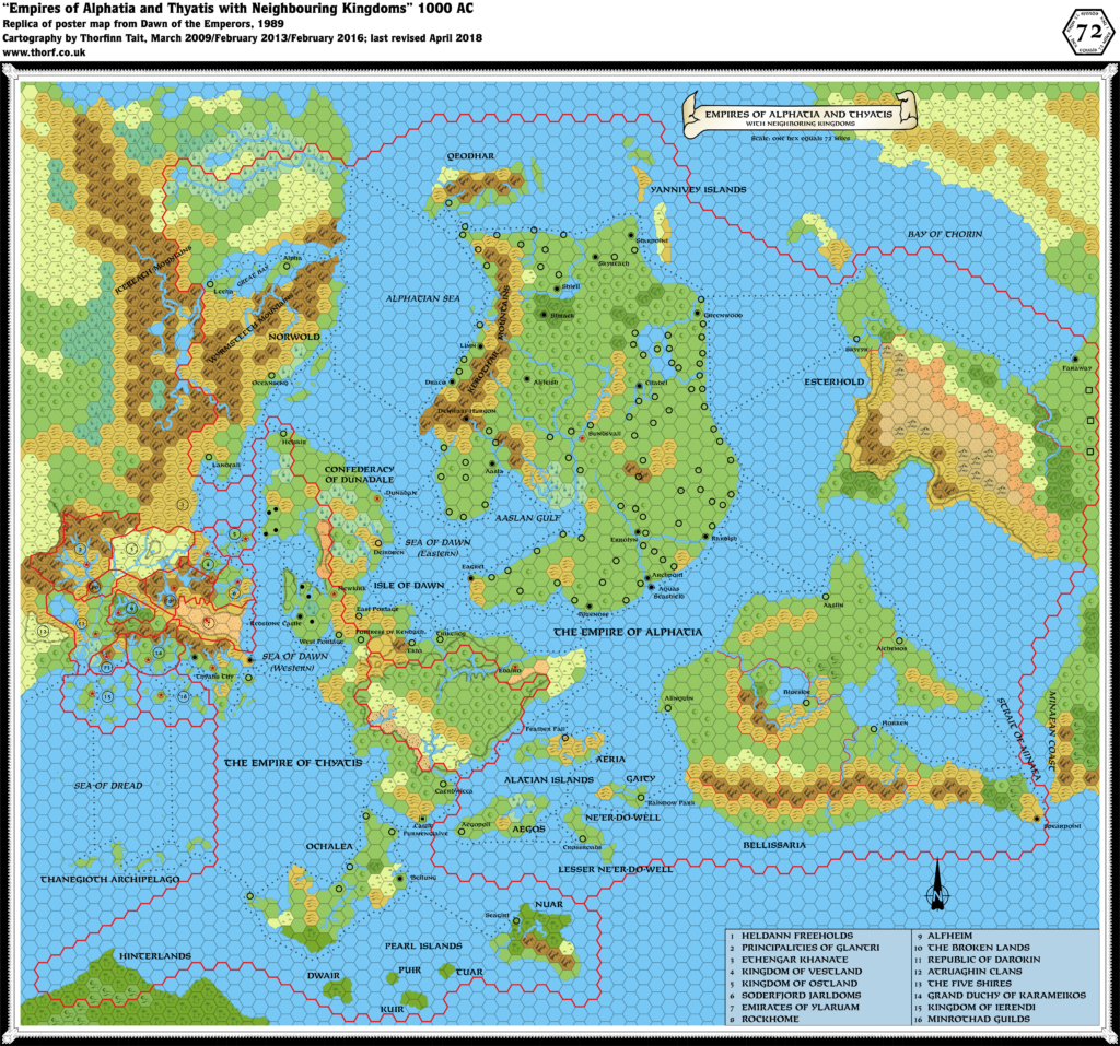
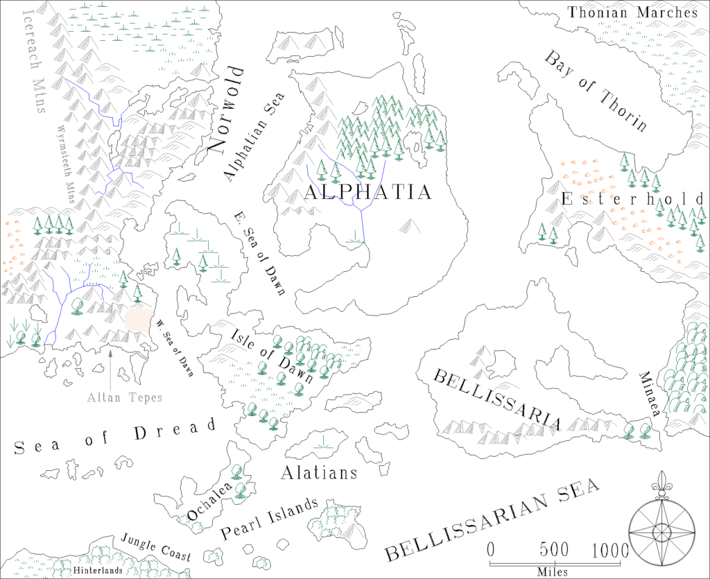
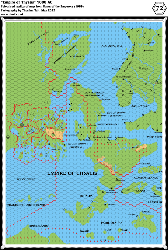
In addition to its full colour poster map of the two empires, Dawn of the Emperors also provided a black and white overview map of the Empire of Thyatis within its pages. Although at first glance it appears to be an excerpted version of the poster map, in fact it was separately drawn, and slightly out of sync with that map. Most of the terrain was left blank, with the exception of the deserts of Ylaruam and the Isle of Dawn.
The area of the old X1 map, including the Known World and the Thanegioth Archipelago, was scaled almost perfectly. However, the other parts of the map were not so accurate, and as you move away from the central Known World region, things move more and more out of sync. Perhaps the most egregious error is the placement of the Hinterlands — the northern tip of Davania — which are about four hexes southwest of where they should be.
Aside from Davania’s relative location, the other distortions really don’t make much difference in the big picture, and the map is eminently usable as is.
Replica Map (May 2022)
Sources
- Dawn of the Emperors (1989) (PDF at DriveThruRPG)
- DM’s Sourcebook page 69 map (Cartography by Dave Sutherland)
Chronological Analysis
This is Map 118. It was published in August 1989. The updated version of this map has not yet been released. See also Appendix C for annual chronological snapshots of the area. For the full context of this map in Mystara’s publication history, see Let’s Map Mystara 1989.
The following lists are from the Let’s Map Mystara project. Additions are new features, introduced in this map. Revisions are changes to previously-introduced features. Hex Art & Fonts track design elements. Finally, Textual Additions are potential features found in the related text. In most cases, the Atlas adopts these textual additions into updated and chronological maps.
Coming Soon

