Dragon 161 Southern Polar Opening
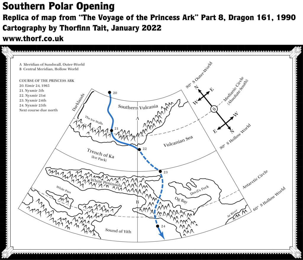
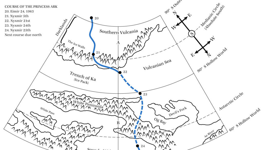
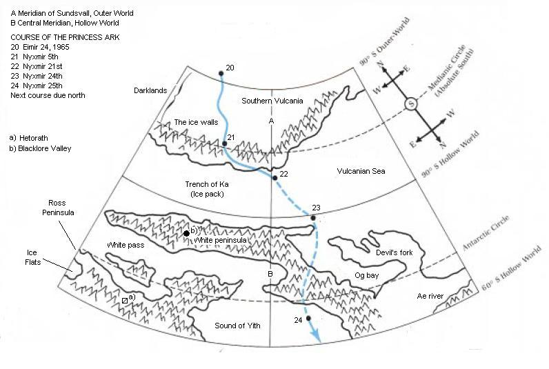
This map came in between the two rather different mapping series of the Voyage of the Princess Ark series. In some ways it’s an extension of the first series, as it is a course map following the journey of the famous skyship. It’s certainly not a hex map, as the second series would be. But this map is also rather special, because instead of showing an extract from the Master Set world map, it shows an up-close snapshot of a section of the southern polar opening — introduced just the previous month in the Hollow World Campaign Set. There’s only one other map of this kind, and that’s the one in the Hollow World Set itself.
Moreover, this is the only map of this kind that shows both the Hollow World and the Outer World in the same map. In other words, it’s a map that concentrates entirely on a section of the polar opening.
Mapping the polar openings is a rather daunting task given the peculiar warping caused by the torus-shaped opening — very different from anything in the real world. So it’s no wonder that no one has yet revisited this area.
Replica Map (January 2022)
Sources
- The Voyage of the Princess Ark Part 8: Voyaging down under — and inside!, Dragon 161 (September 1990)
Chronological Analysis
This is Map 156 It was published in September 1990. The updated version of this map has not yet been released. See also Appendix C for annual chronological snapshots of the area. For the full context of this map in Mystara’s publication history, see the upcoming Let’s Map Mystara 1990.
The following lists are from the Let’s Map Mystara project. Additions are new features, introduced in this map. Revisions are changes to previously-introduced features. Hex Art & Fonts track design elements. Finally, Textual Additions are potential features found in the related text. In most cases, the Atlas adopts these textual additions into updated and chronological maps.
Under Construction! Please check back again soon for updates.
Additions
- Terrain —
Revisions
- Terrain —
Hex Art & Fonts
- Symbols —
- Fonts —

8 January 2022 @ 6:00 pm
Hi Thorf!
I don’t get how the 90° S of the Outer and Inner world do not coincide with one another and the Absolute South circle.
How are they measuring angles here?
9 January 2022 @ 12:13 pm
That has always puzzled me, too. It’s all rather confusing.
The problem with latitudes is that the land ceases to be spherical and instead follows the model of a torus. The meeting point between the two models is wherever the polar lip begins, which wasn’t entirely clear in official maps, but the Atlas has placed at 60º. That means that anything higher than 60º latitude isn’t really going to have a latitude number that makes sense.
Moreover, the way the model is put together, absolute south actually occurs relatively soon after 60º — a quick look at the diagram suggests that the distance between Outer World 60º and absolute south is only about one sixth of the total length of the toroidal area.
To be frank, I don’t think this map is going to end up being remotely like what the true state of the lands looks like. But it’s an awfully hard thing to conceptualise and draw, so my hat is nevertheless off to the original cartographer. I haven’t even managed to attempt such a thing yet myself.