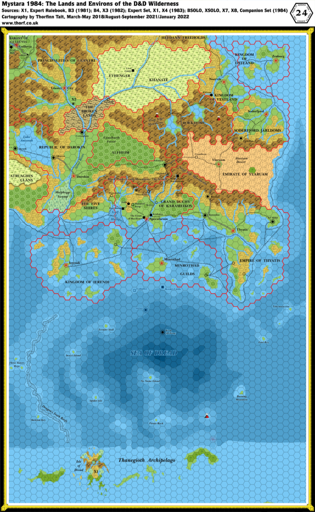
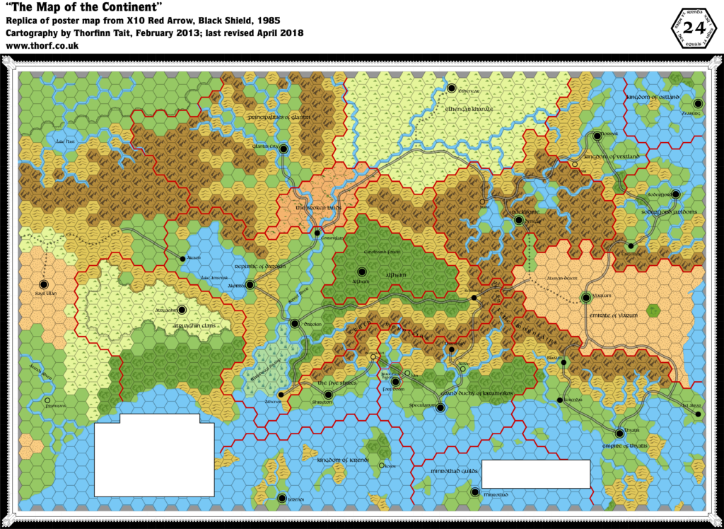
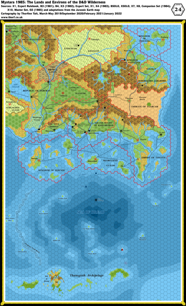
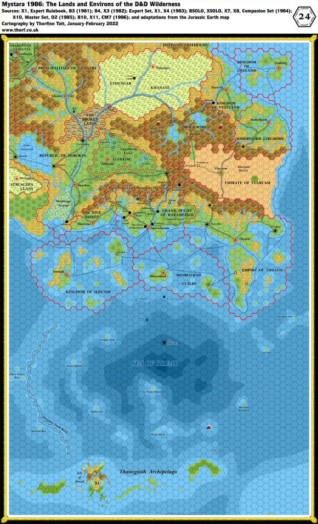
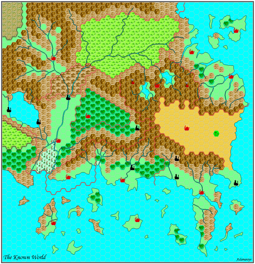
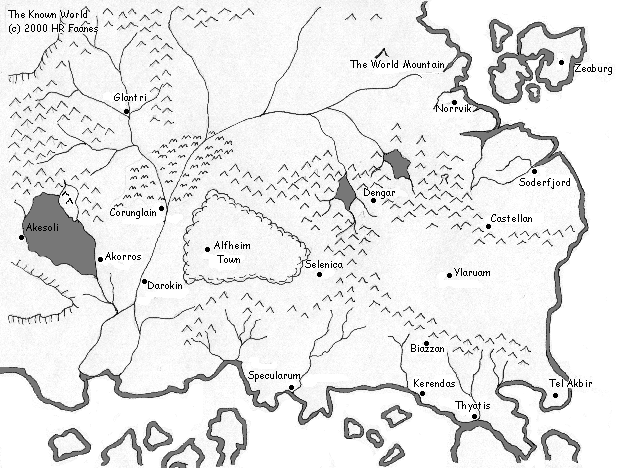
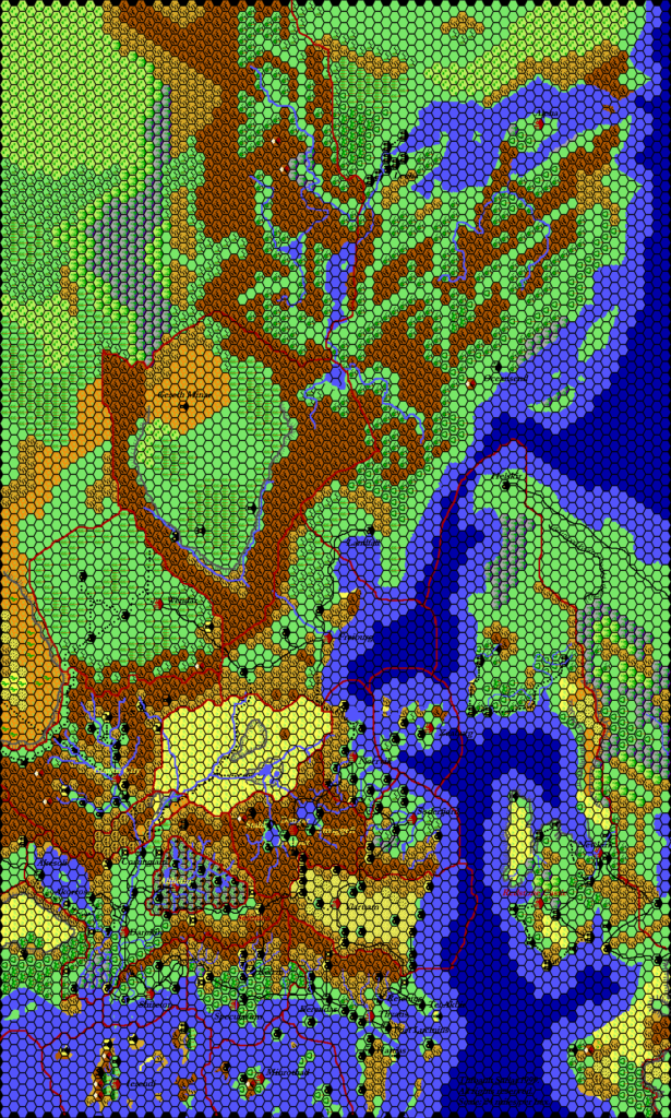
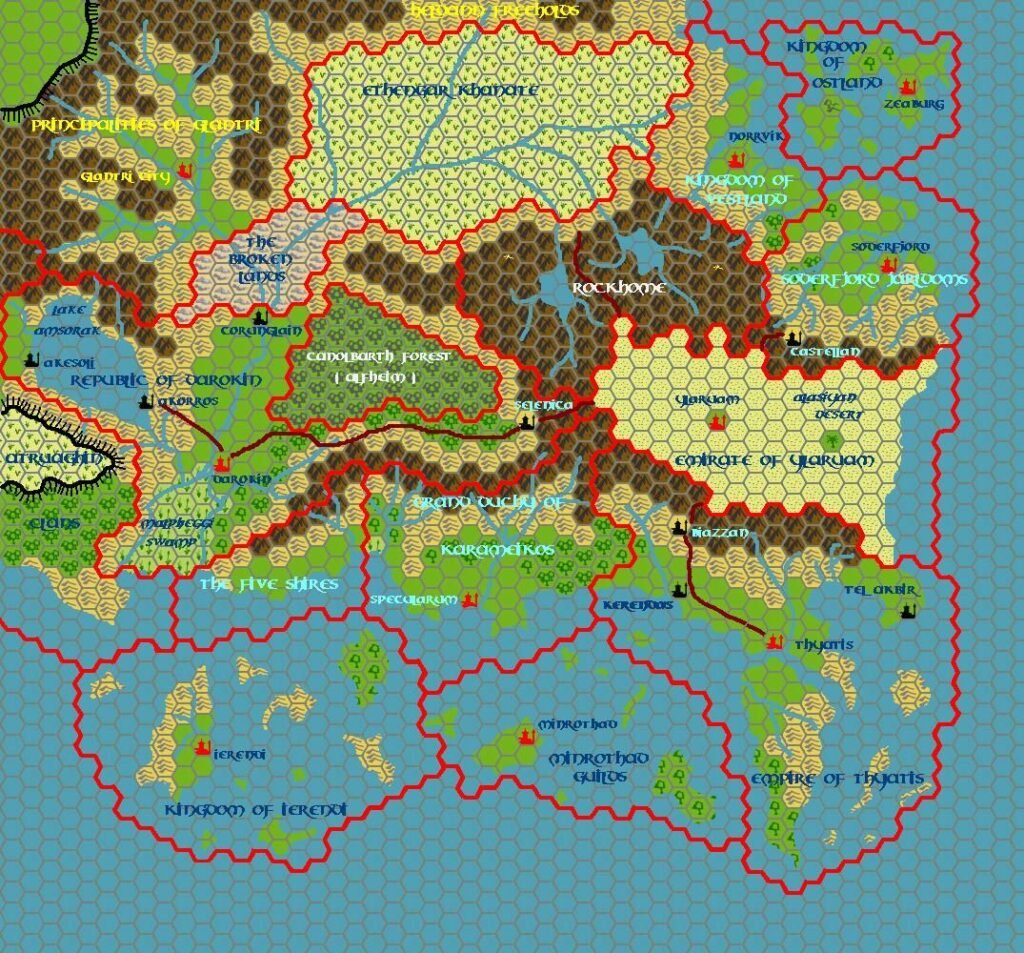
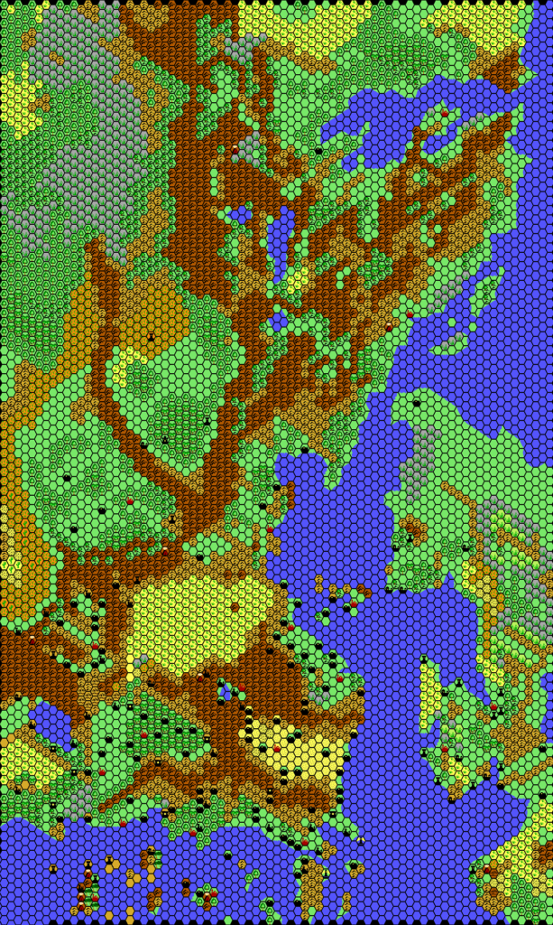
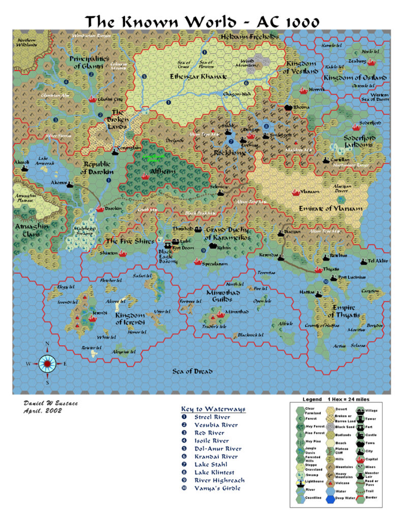
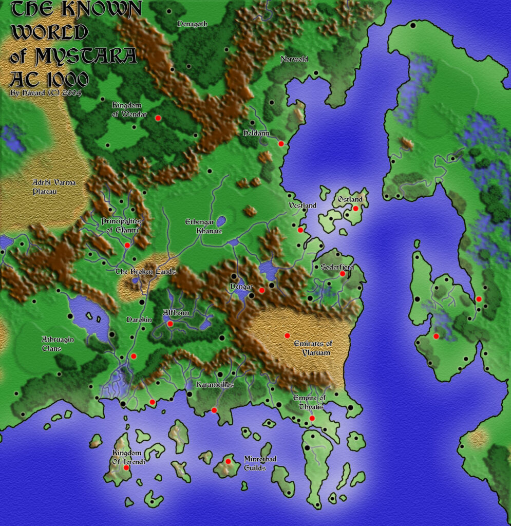
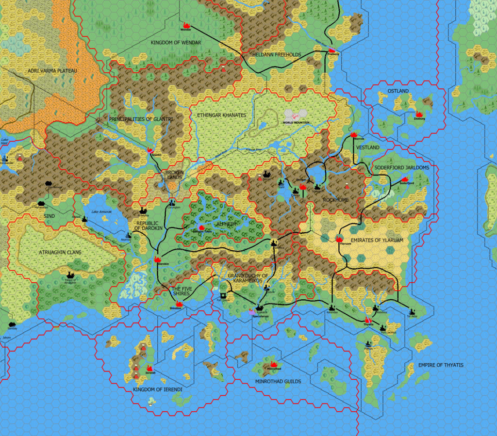
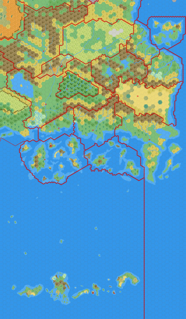
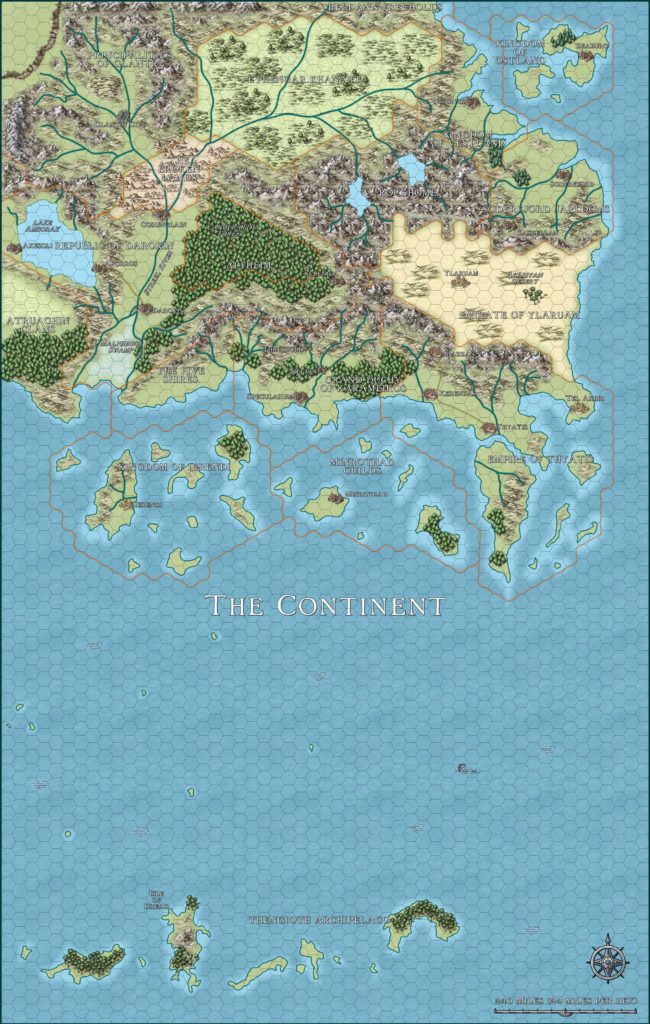
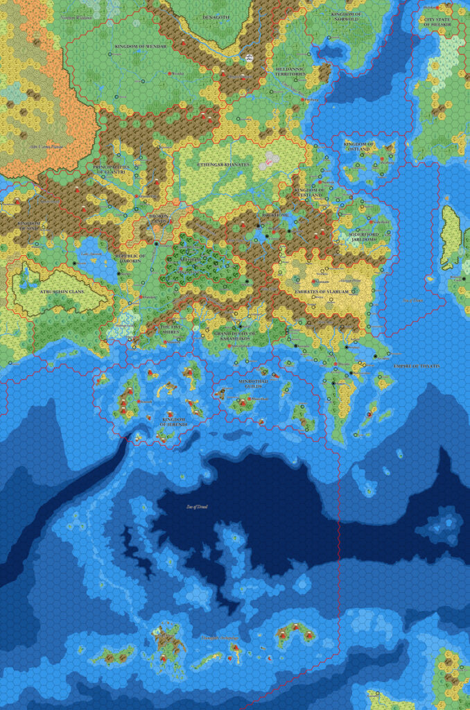
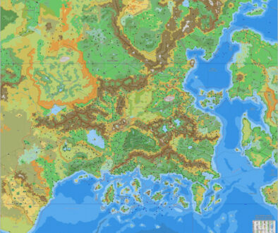
Expert Set (1983) Known World, 24 miles per hex
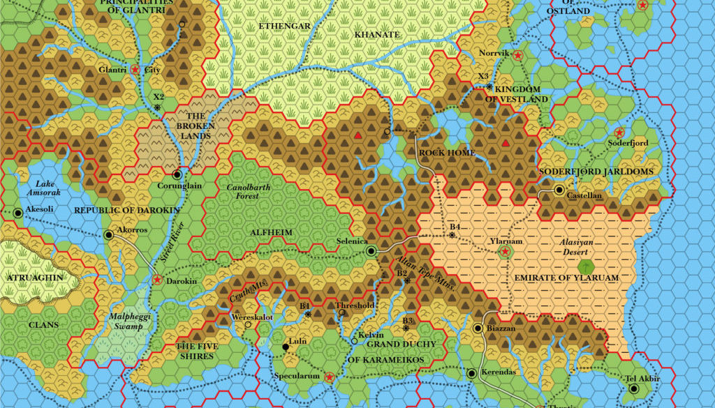
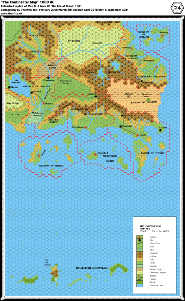
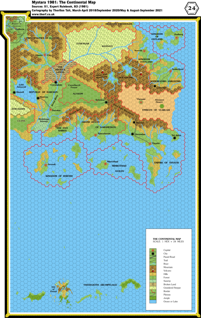
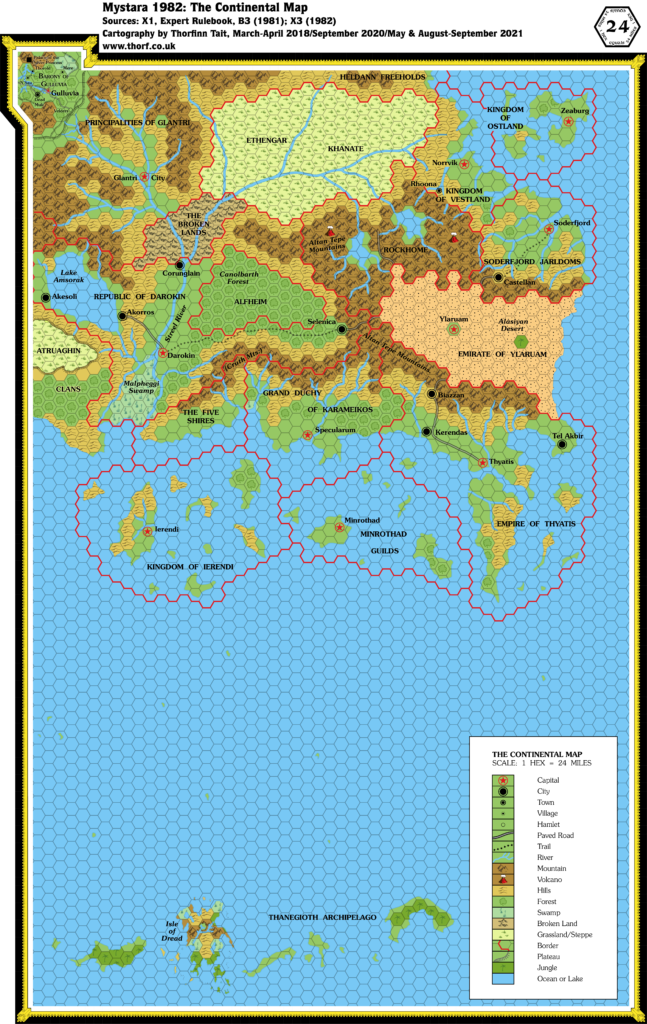
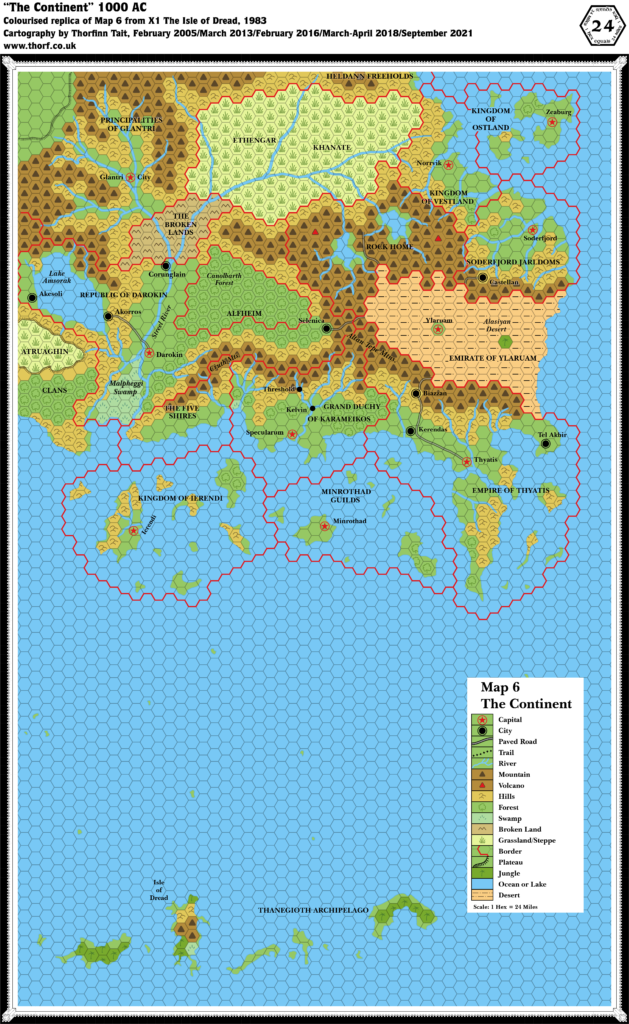
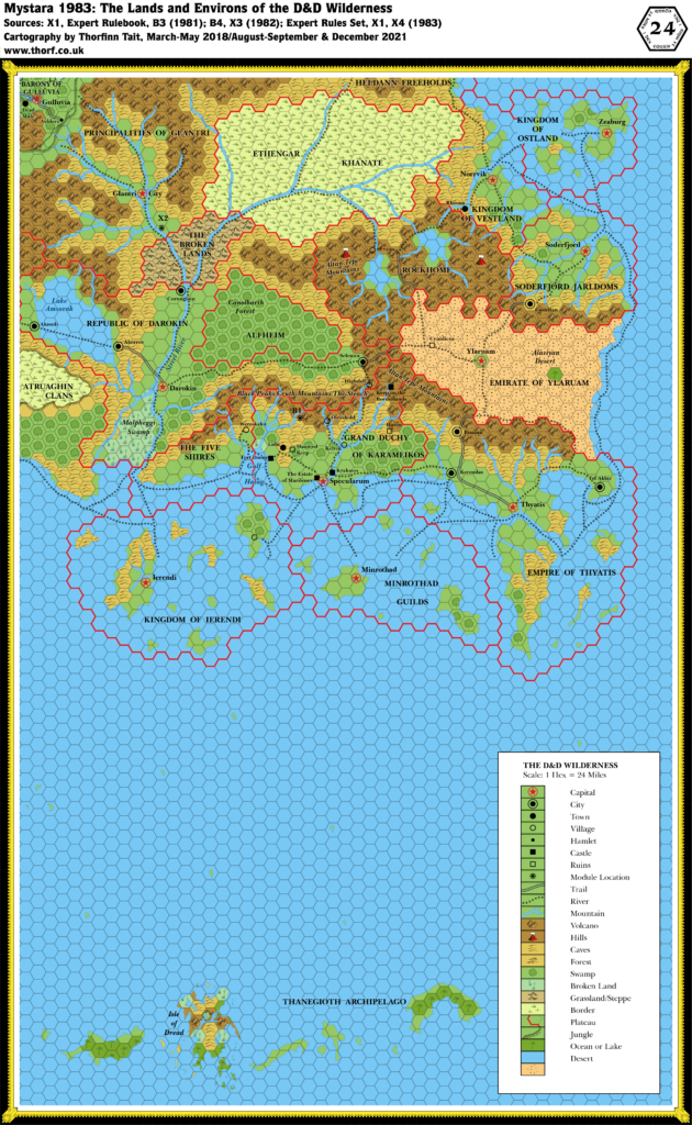
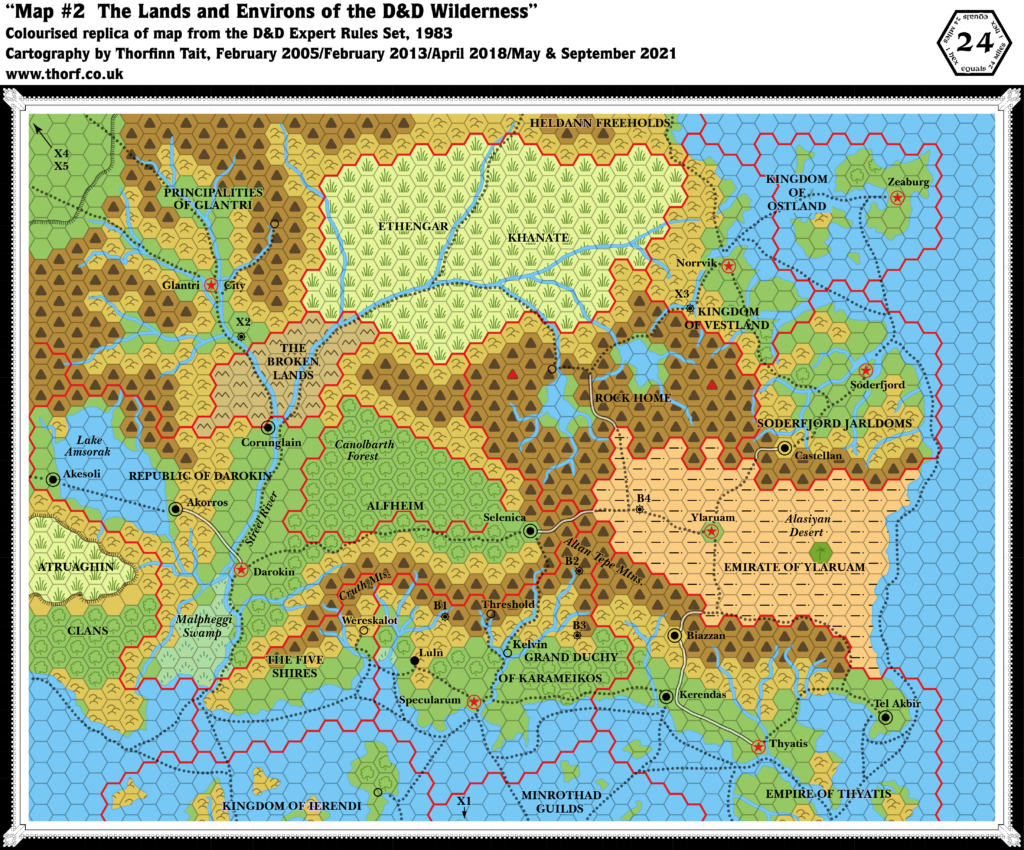
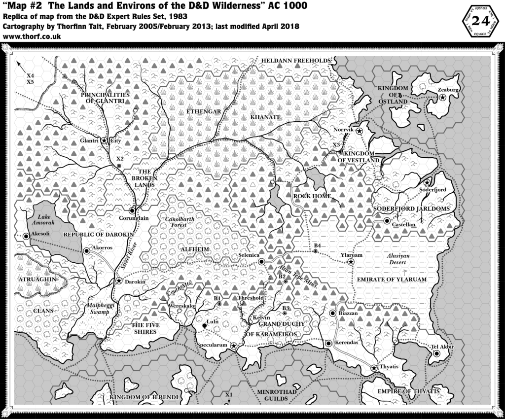
1983’s Expert Rules Set included a reprint of X1, including the seminal Known World two page map. But the Expert Rulebook also featured a single page version of this, showing the northern half of the X1 map. Trails as well as a few more towns and module locations were added, but otherwise it is identical to the earlier map.
Replica Map (September 2021)
Sources
- Dungeons & Dragons Expert Rules Set (1983) (PDF at DriveThruRPG)
- Map #2 The Lands and Environs of the D&D Wilderness, page 33
Chronological Analysis
This is Map 13. It was published in August 1983. The updated version of this map has not yet been released. See also Appendix C for annual chronological snapshots of the area. For the full context of this map in Mystara’s publication history, see Let’s Map Mystara 1983.
The following lists are from the Let’s Map Mystara project. Additions are new features, introduced in this map. Revisions are changes to previously-introduced features. Hex Art & Fonts track design elements. Finally, Textual Additions are potential features found in the related text. In most cases, the Atlas adopts these textual additions into updated and chronological maps.
Additions
- Module Locations — B1, B2, B3, B4, X1, X2, X3, X4 and X5 are all marked on the map.
- Rivers — the southeastern-most island, in the Empire of Thyatis, has gained a short river.
- Settlements — three unnamed villages, one each in Glantri, Rockhome and Ierendi.
- Trails & Roads — in addition to the two trails shown on X1 (1981), this map adds a whole network of trails throughout the map.
Revisions
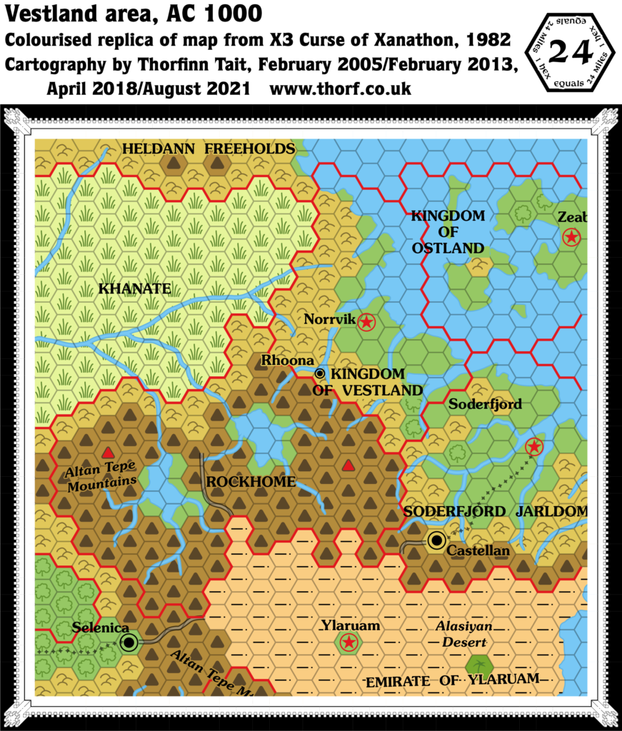
- Coastline — Ostland is different once again, with a strange little bit of coastline marked to the right of the “OF” in “Kingdom of Ostland”. Stranger still, it actually blocks the new trail here.
- Settlements — in keeping with the same boxed set’s X1 map, Threshold and Kelvin have been added. However, Threshold’s location here is at the source of the river rather than at the fork to the south, as X1 (1983) has it. This is the beginning of Threshold’s travels around the area, as its location is shunted around again and again. Kelvin too appears slightly north of its X1 (1983) map location. Wereskalot has now changed from a castle to a village.
Hex Art
- Fonts — Baskerville.
- New Symbols — Module Location (as in the legend, but here it has a filled black dot inside the circle).
Join in the Discussion at The Piazza
Come and join in the discussion about this map at The Piazza, where I am holding a “read through” of the Let’s Map Mystara project.

