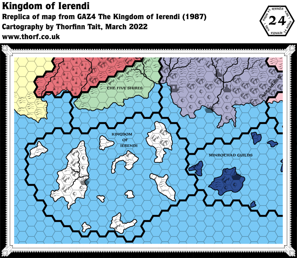
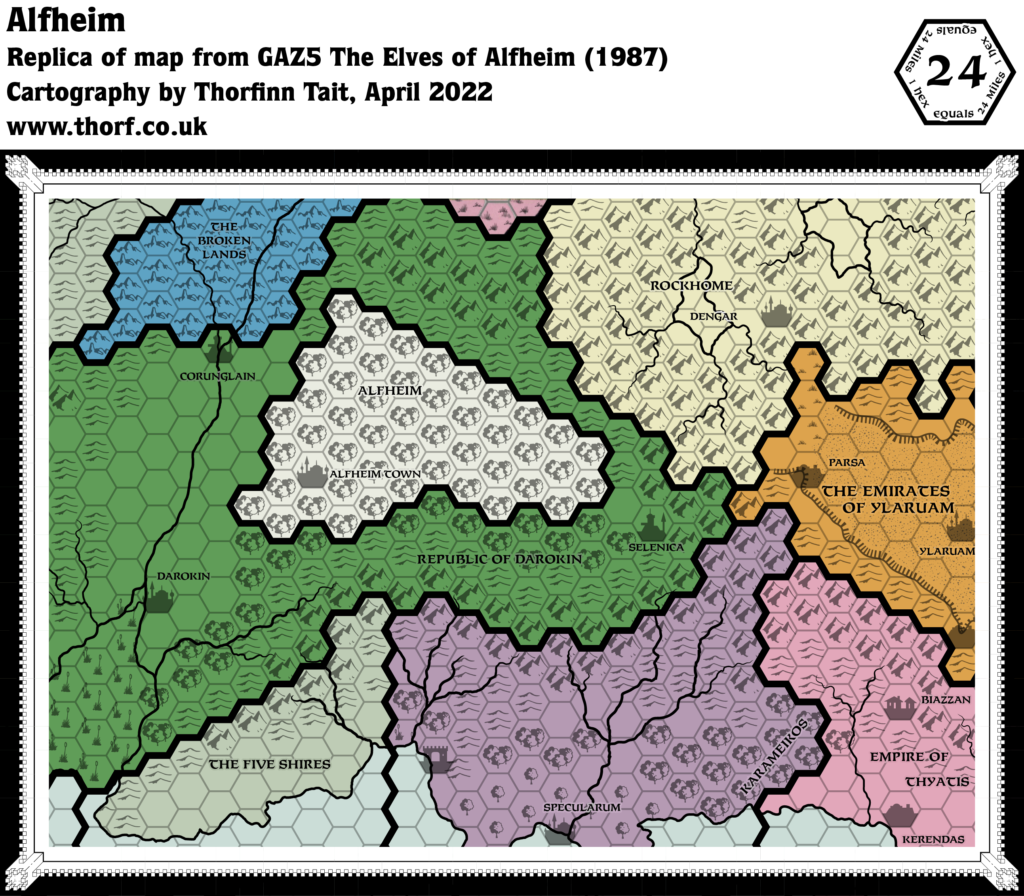
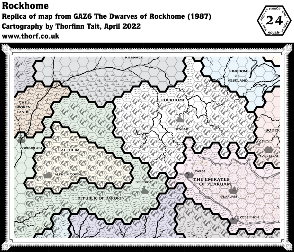
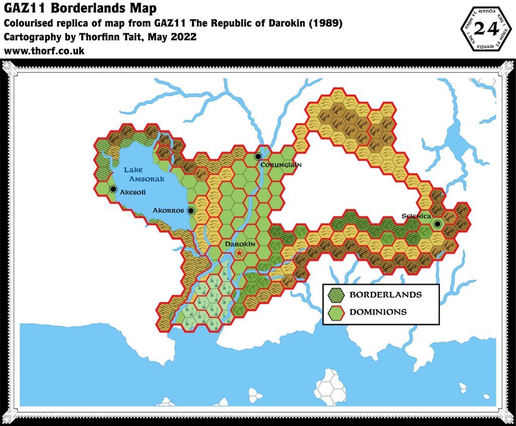
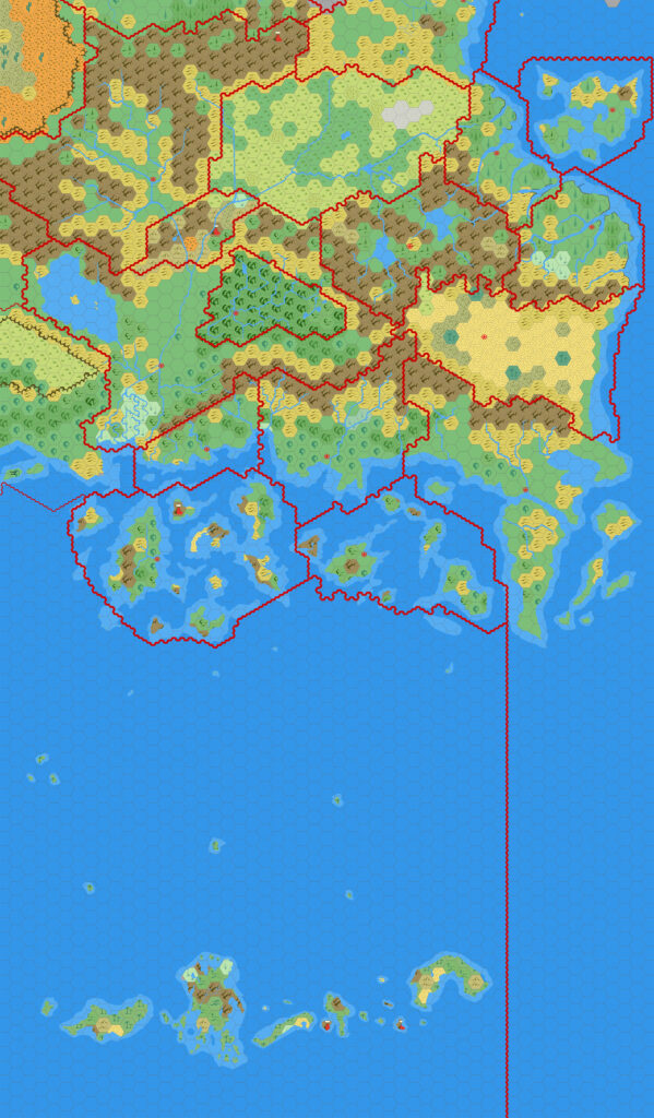
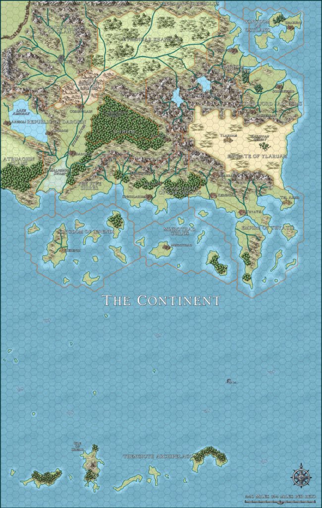
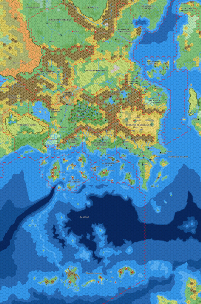
GAZ1 Karameikos, 24 miles per hex
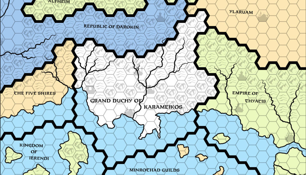
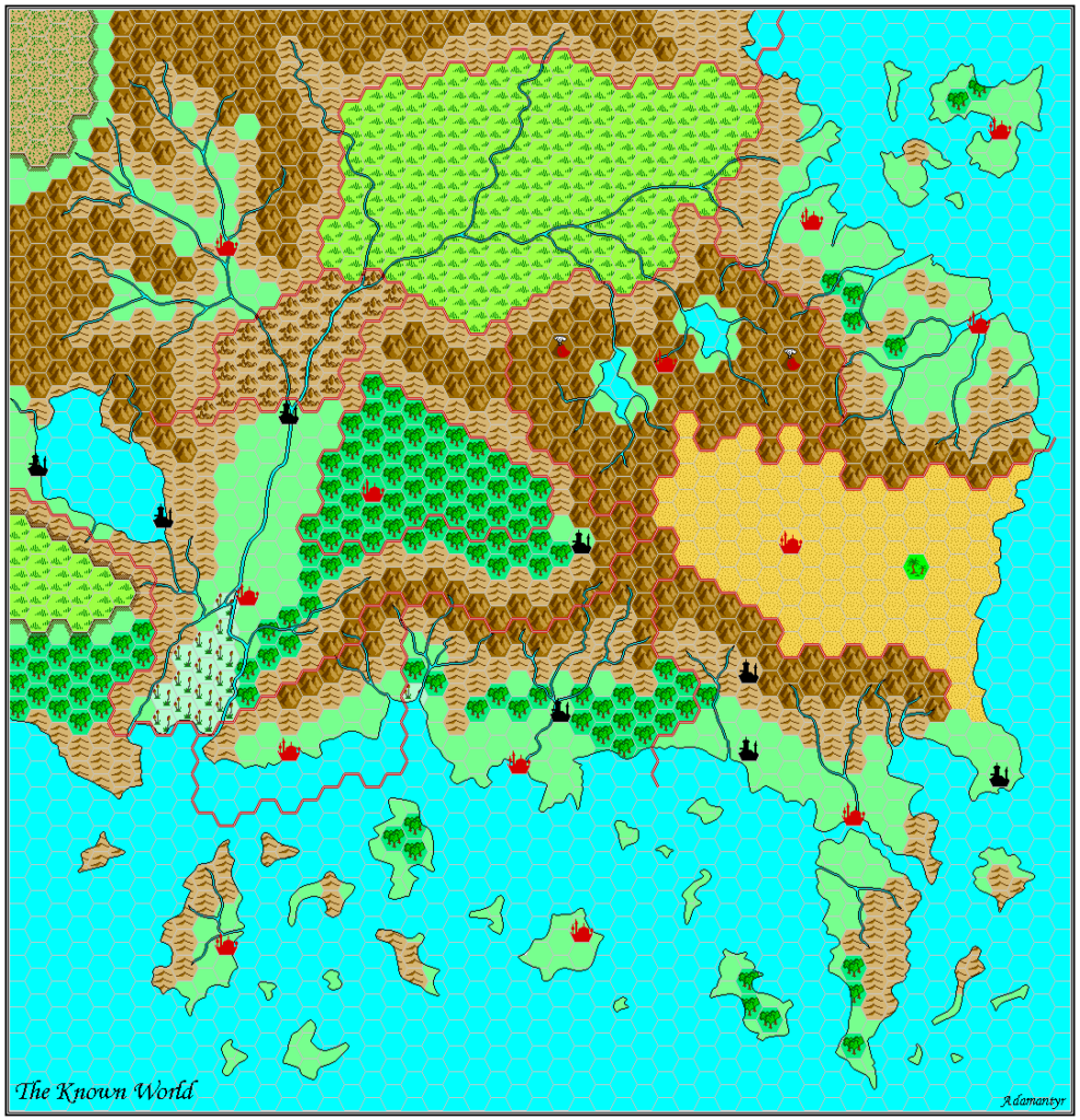
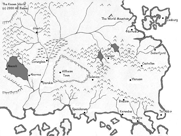
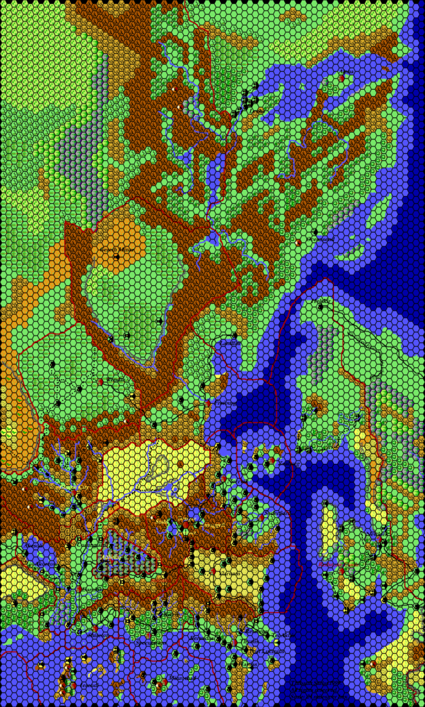
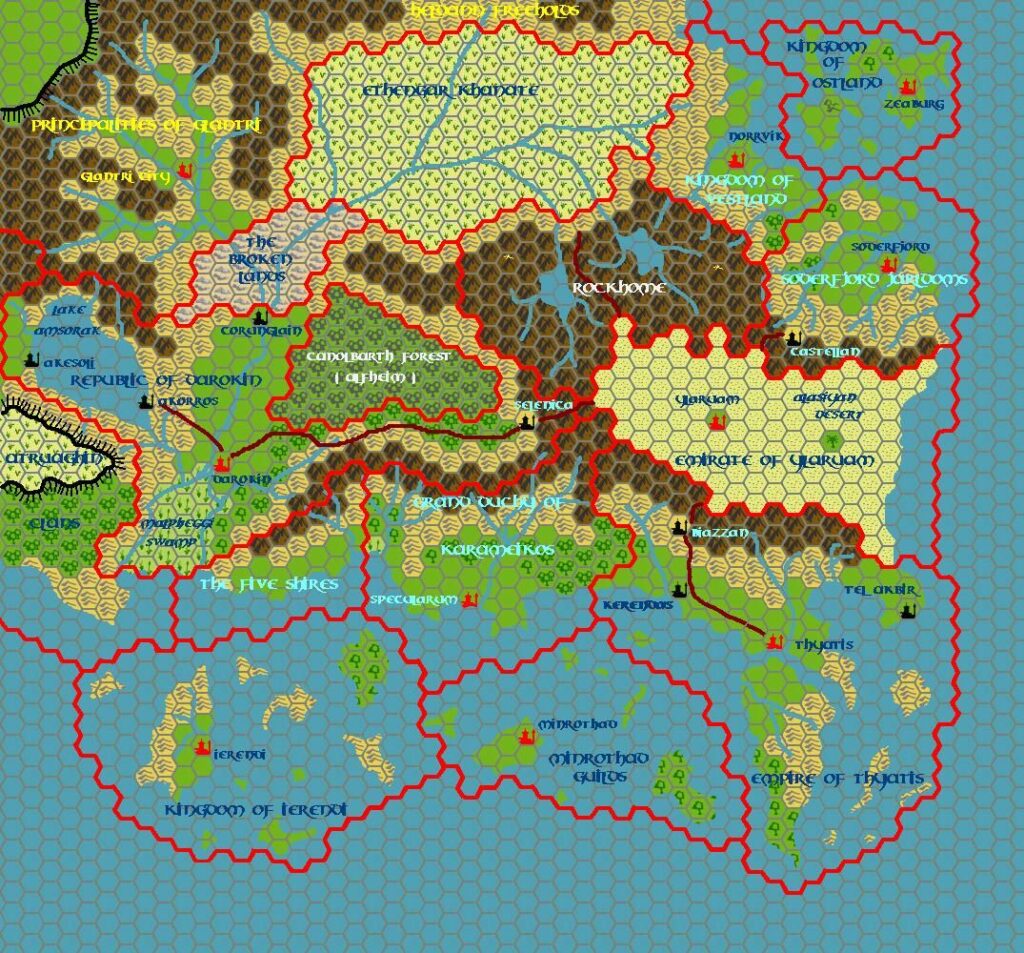
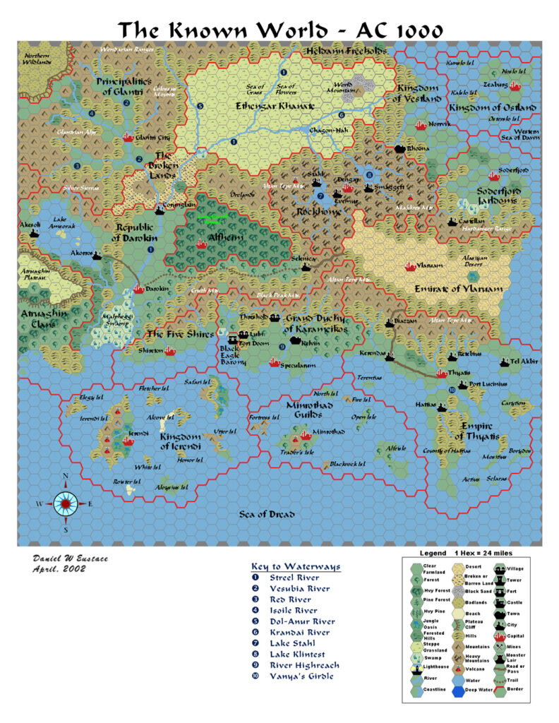
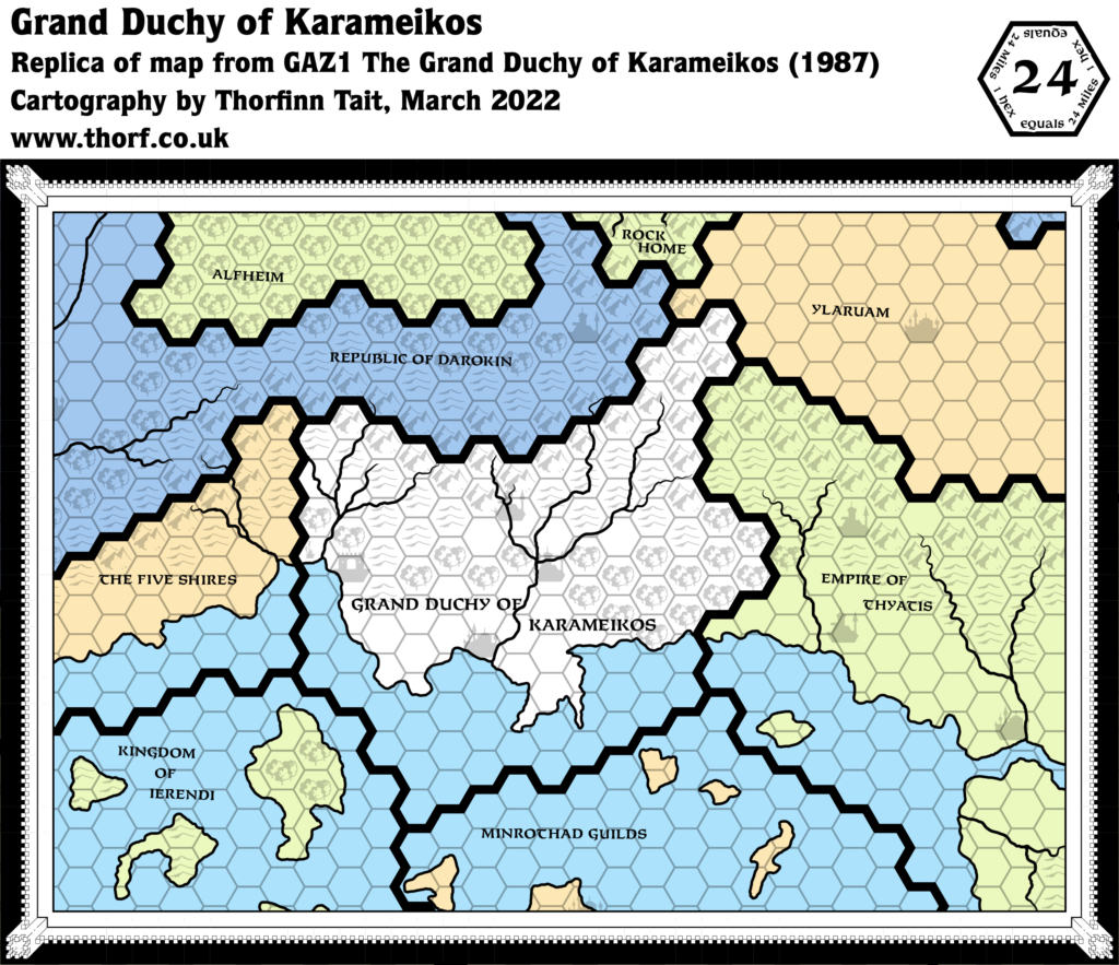
This map appeared on the gatefold of GAZ1’s cover. It presented the first view of a section of the Known World using the new Gazetteer series art and fonts. Its significance lies in its use of the new Heavy Forest icon in place of the simple forest icons of previous maps of the area. Interestingly, it only uses Heavy Forest, with no Light Forest hexes at all.
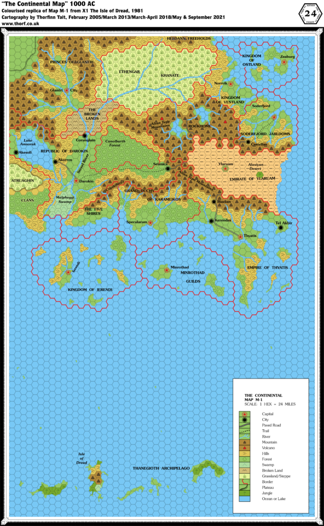
The other interesting feature is the rivers, which were based on the original X1 Known World map, but with a little more detailing. In short, they are bendier. This is in contrast to GAZ1’s 8 mile per hex map’s rivers, which were adapted to conform closer to the hex grid.
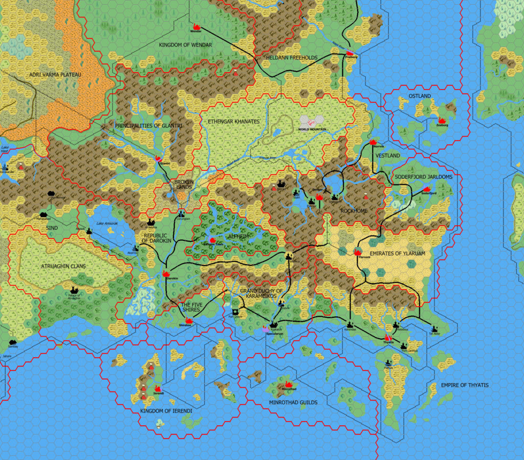
Replica Map (March 2022)
Sources
- GAZ1 The Grand Duchy of Karameikos (1987) (PDF at DriveThruRPG)
- Cover gatefold map (Cartography by Dennis Kauth, David C. Sutherland III, Ron Kauth)
Chronological Analysis
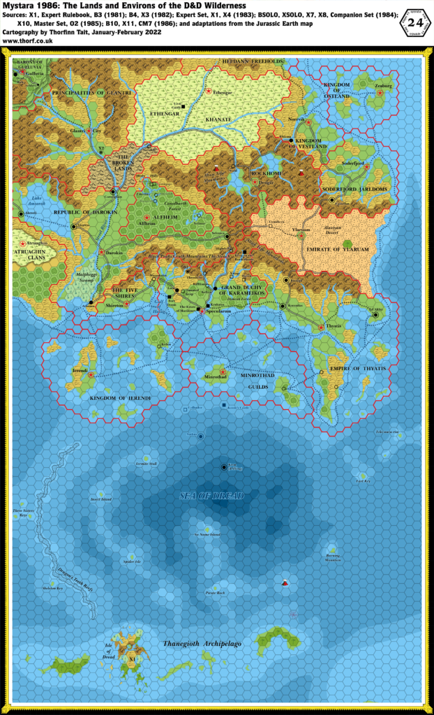
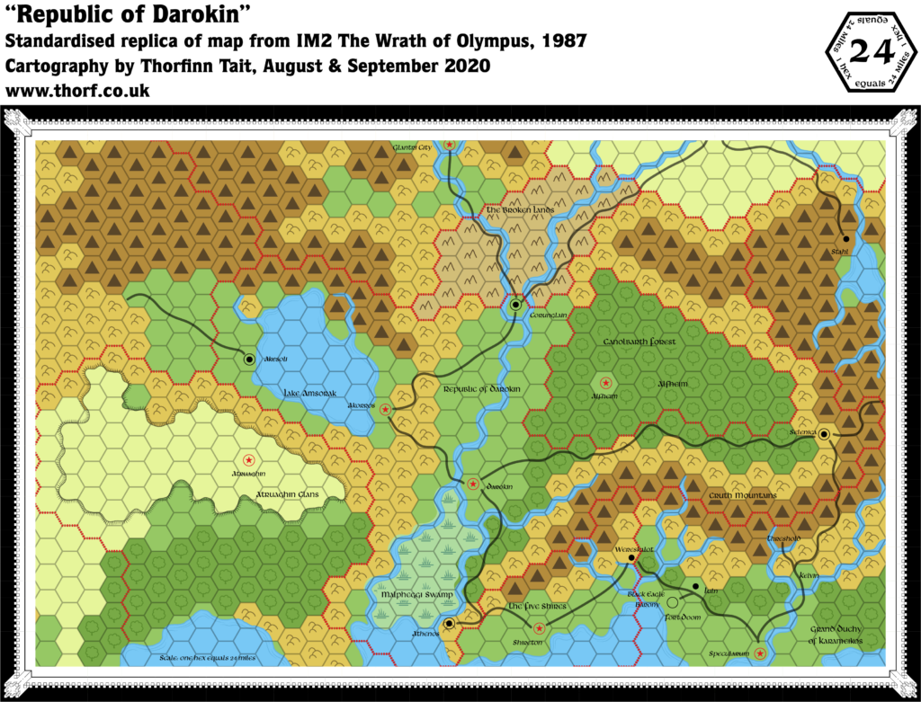
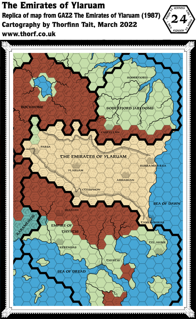
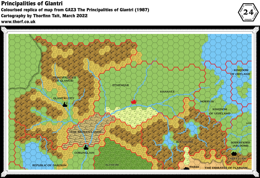
This is Map 55. It was published in May 1987. The updated version of this map has not yet been released. See also Appendix C for annual chronological snapshots of the area. For the full context of this map in Mystara’s publication history, see the upcoming Let’s Map Mystara 1987.
The following lists are from the Let’s Map Mystara project. Additions are new features, introduced in this map. Revisions are changes to previously-introduced features. Hex Art & Fonts track design elements. Finally, Textual Additions are potential features found in the related text. In most cases, the Atlas adopts these textual additions into updated and chronological maps.
Additions
- Terrain — The new Heavy Forest symbol appears at this scale for the first time.
Revisions
- Rivers — The rivers on this map are nicely nuanced updates of those on the original X1 Known World map. They do not match the 8 mile per hex map’s rivers.
- Settlements — Some of the locations of marked settlements are a little off from where they were on previous maps. Most notable is Kelvin, which is shown south of the river fork. Threshold appears at its pre-GAZ1 location rather than the one marked in the 8 mile per hex map, and is inexplicably marked as a city. Other settlements are notable for their absence: Shireton, Alfheim’s capital, and Kobos in Ierendi. These were likely deliberate omissions.
- Terrain — All of the forests that were marked with the previous Forest symbol have been changed to the new Heavy Forest. No Light Forests are marked.
Hex Art & Fonts
- Colours — The map uses colours to show political divisions, with each country getting its own shade.
- Hex Art — Gazetteer series standard.
- Fonts — Feinen Bold.


