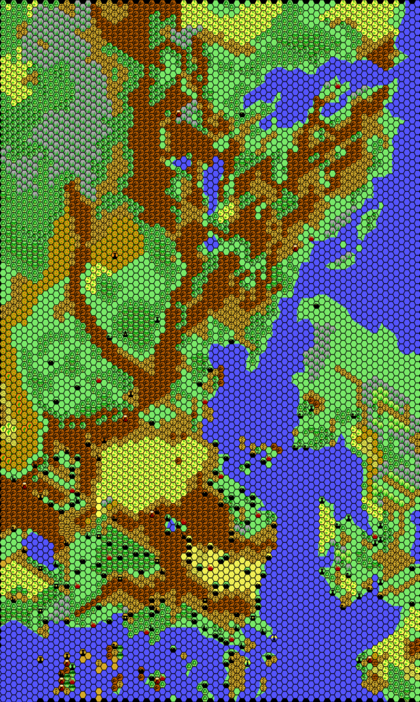
GAZ2 Ylaruam, 24 miles per hex
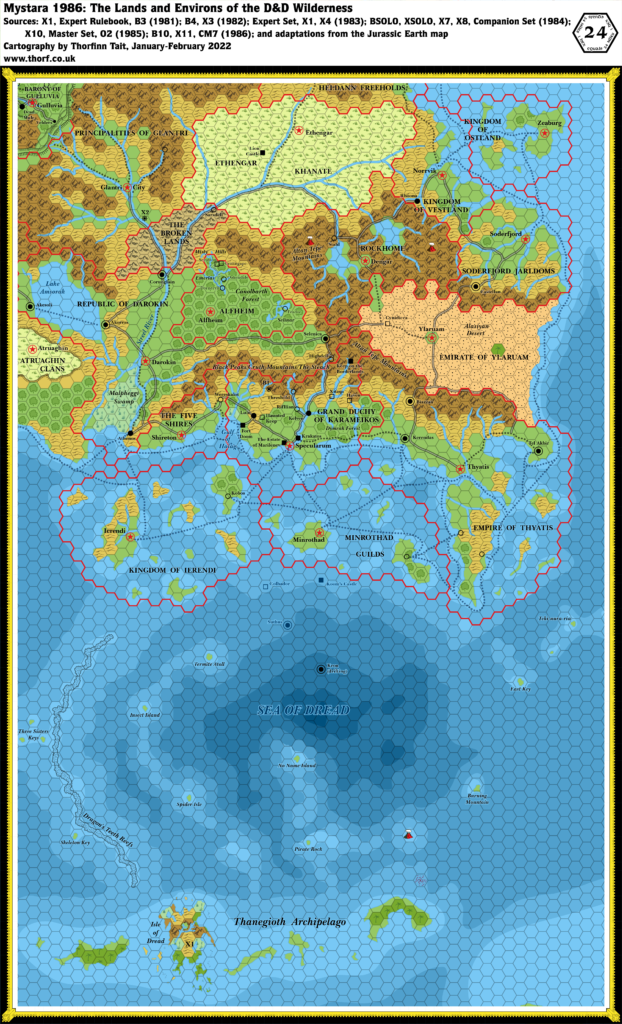
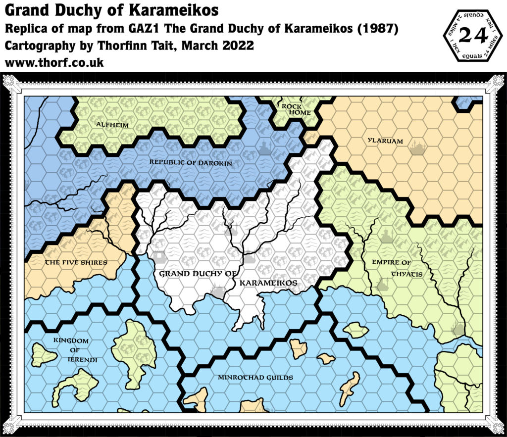
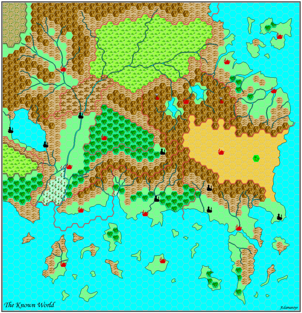
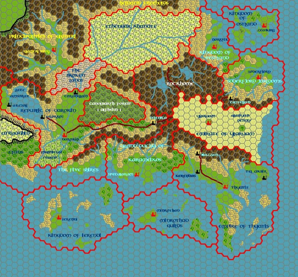
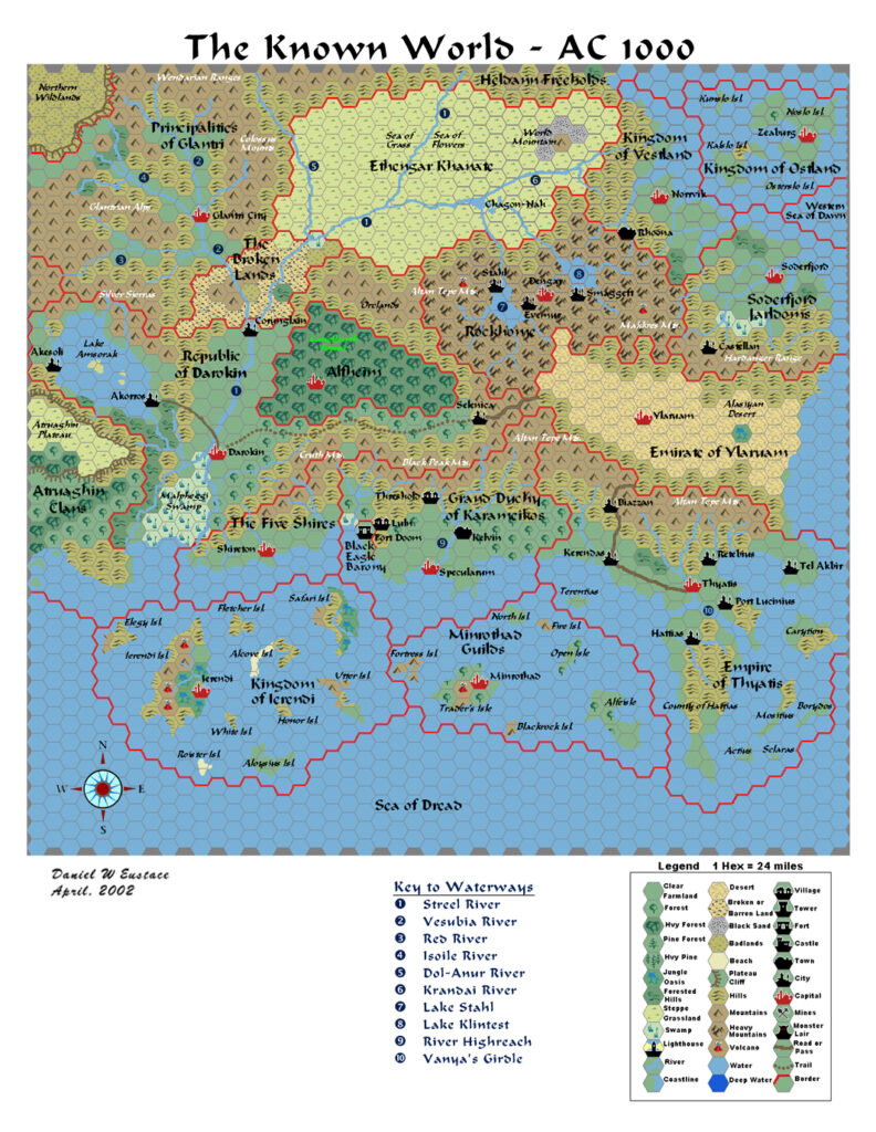
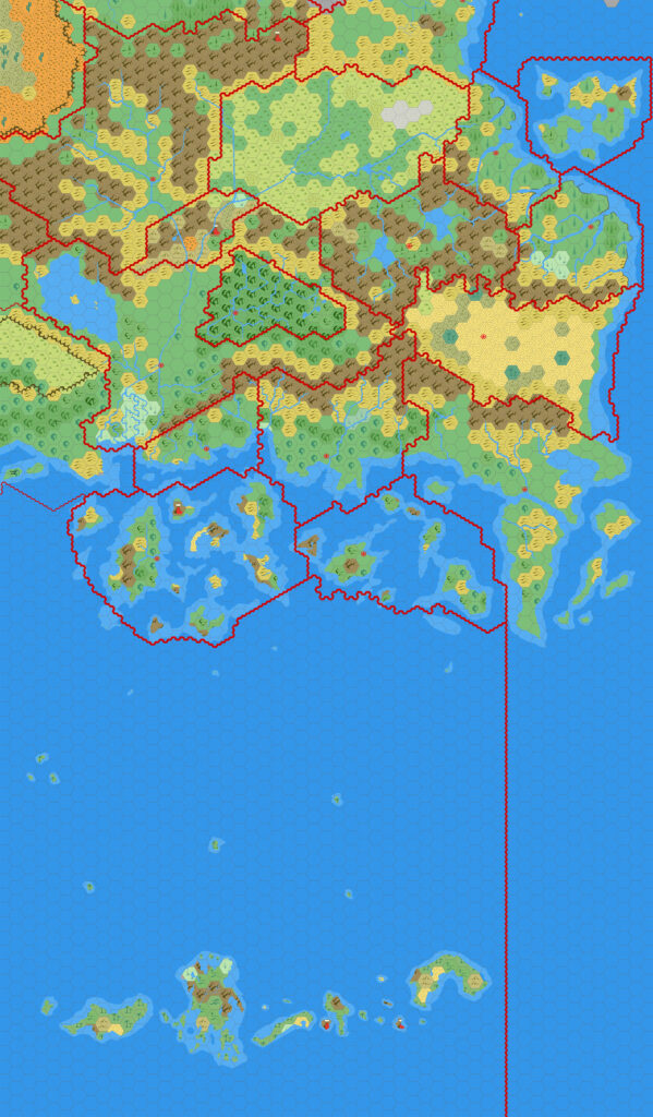
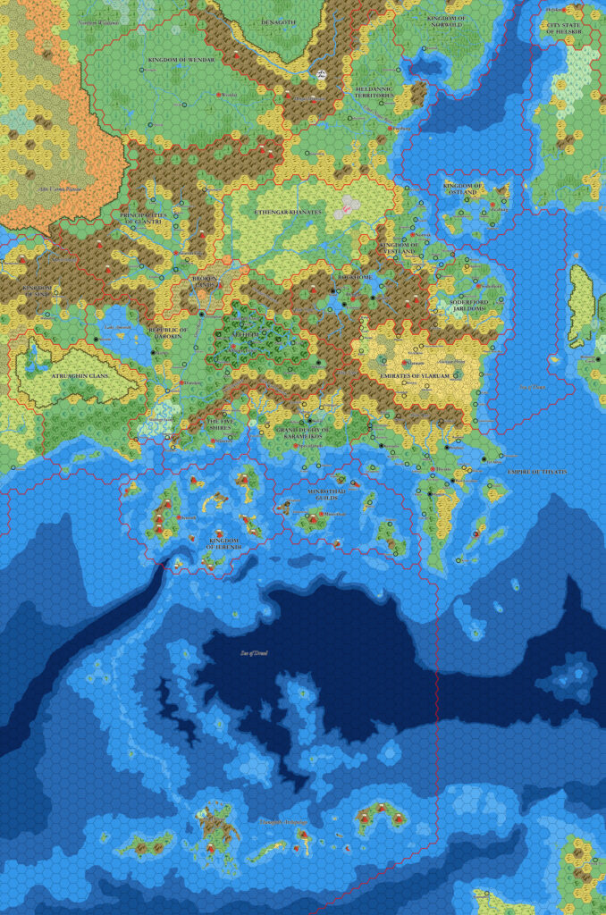
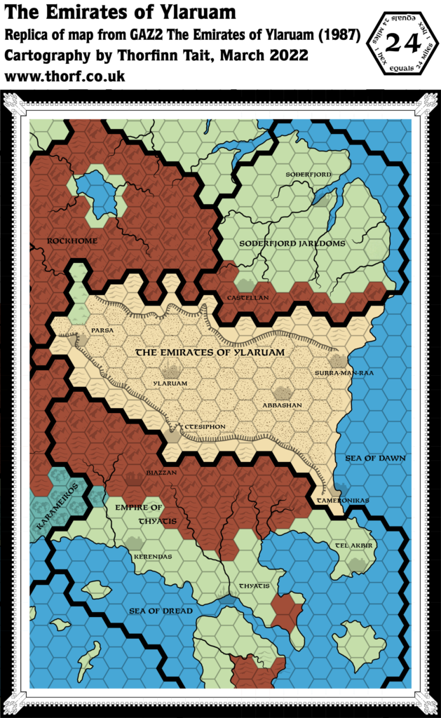
While GAZ1’s 24 mile per hex overview map just a few months earlier used colours to represent political divisions, this one instead assigned them to terrain types, split into four overall categories: clear/grasslands, forests, deserts, and highlands.
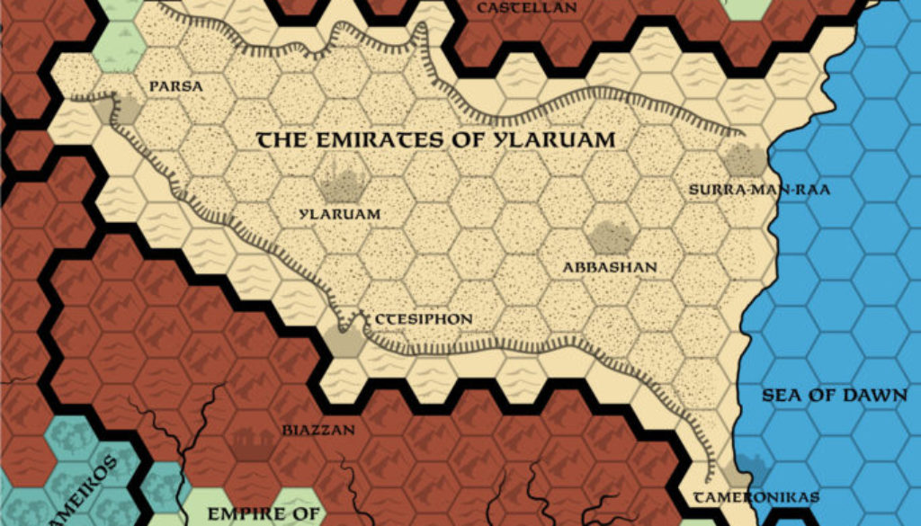
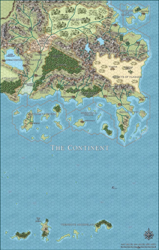
But the significance of this map lies in its addition of the uplands of northern and southern Ylaruam to the 24 mile per hex map. These plateaus were new in GAZ2’s 8 mile per hex map, and it’s very nice that they were also added in to the overview map.
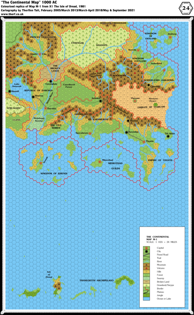
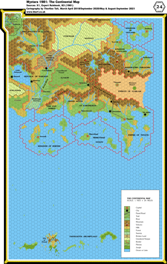
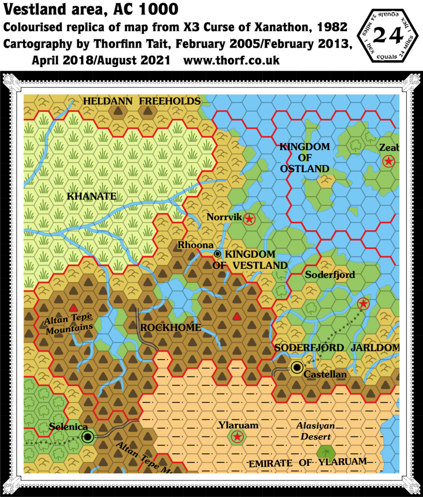
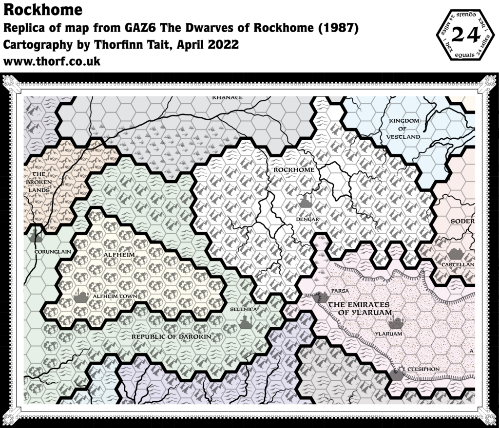
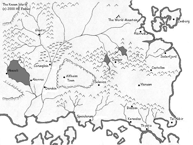
Aside from Ylaruam itself, there are also changes to some existing settlements: Castellan, Kerendas and Tel Akbir were changed to towns, while Biazzan became a village. All four of these had been present as cities since the first Known World map in 1981’s X1.
Replica Map (March 2022)
Sources
- GAZ2 The Emirates of Ylaruam (1987) (PDF at DriveThruRPG)
- Cover gatefold map (Cartography by Dennis Kauth, David C. Sutherland)
Chronological Analysis
This is Map 62. It was published in August 1987. The updated version of this map has not yet been released. See also Appendix C for annual chronological snapshots of the area. For the full context of this map in Mystara’s publication history, see the upcoming Let’s Map Mystara 1987.
The following lists are from the Let’s Map Mystara project. Additions are new features, introduced in this map. Revisions are changes to previously-introduced features. Hex Art & Fonts track design elements. Finally, Textual Additions are potential features found in the related text. In most cases, the Atlas adopts these textual additions into updated and chronological maps.
Under Construction! Please check back again soon for updates.
Additions
- Terrain — The northern and southern highlands of the Alasiyan Desert have been added.
Revisions
- Settlements — Castellan, Kerendas and Tel Akbir are now towns, while Biazzan is a village. All four of these had been present since X1 (1981), and up until now had been marked as cities.

