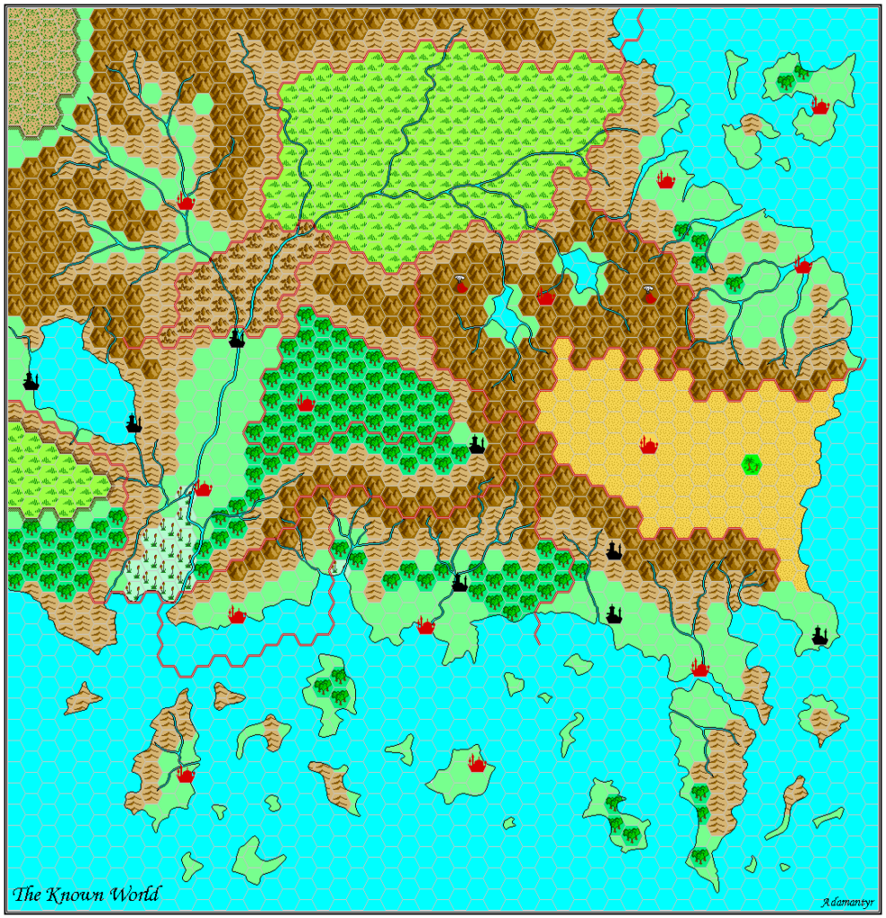
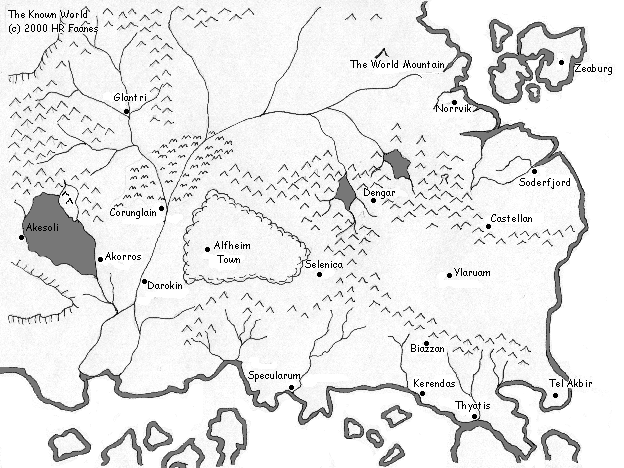
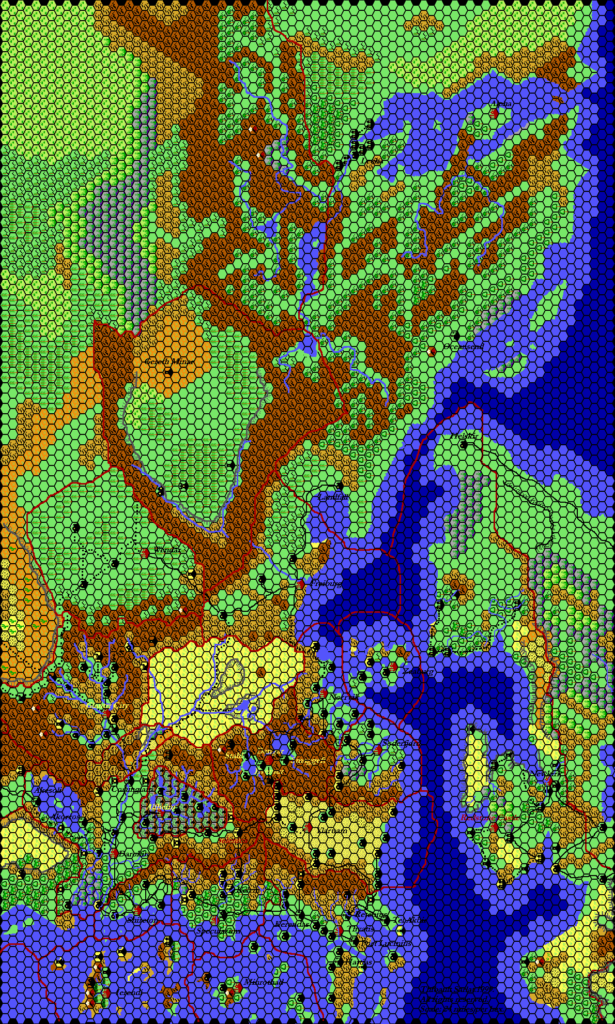
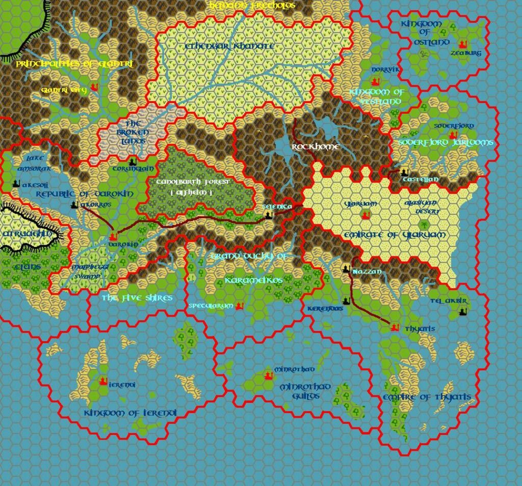
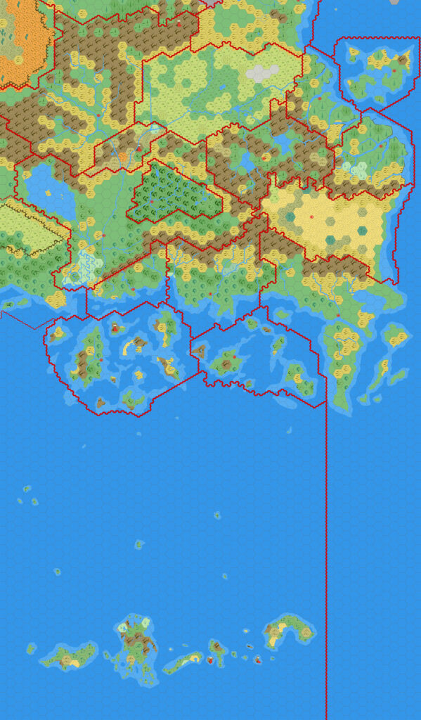
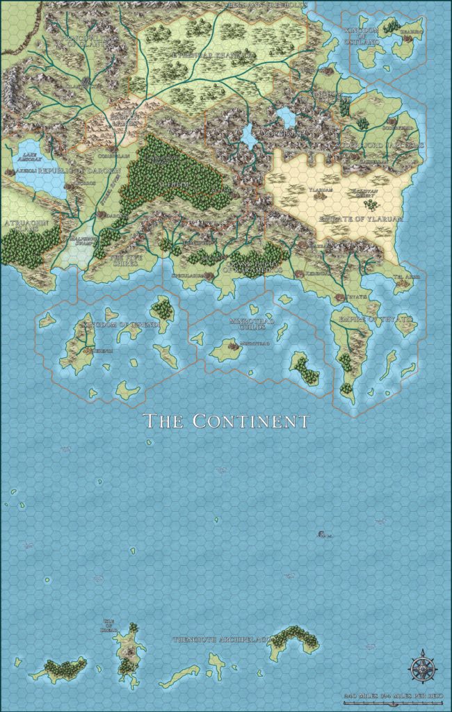
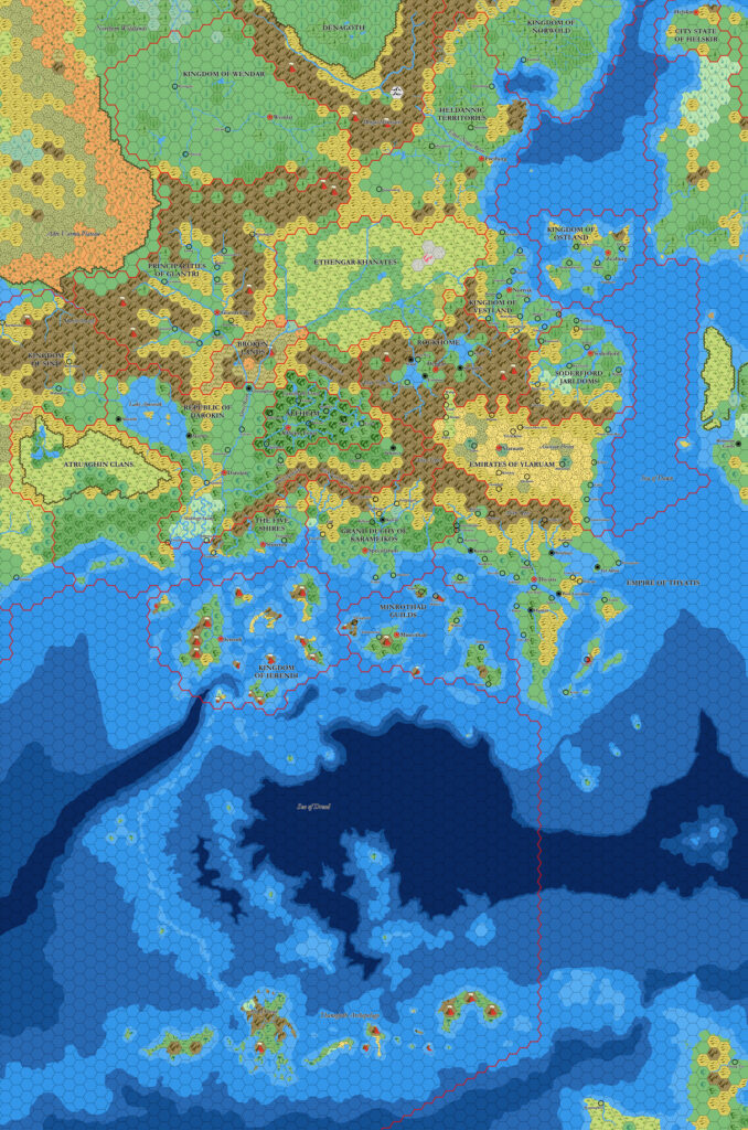
GAZ3 Glantri, 24 miles per hex
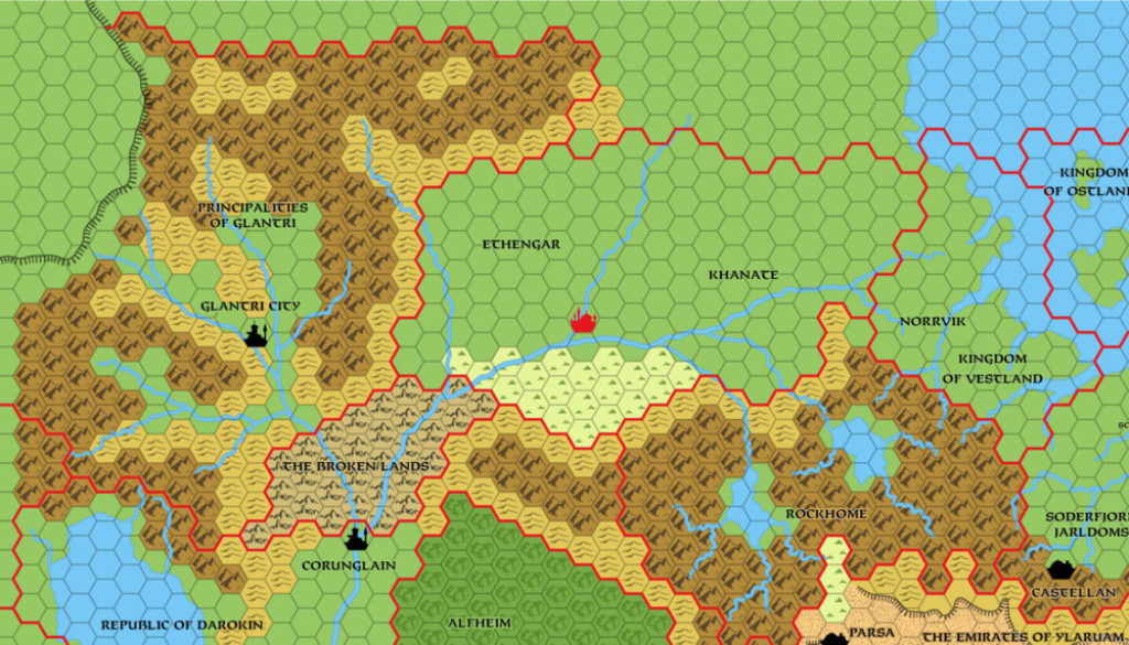
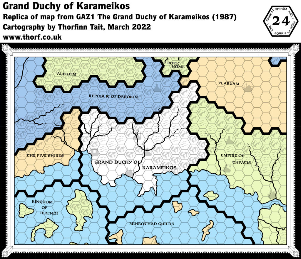
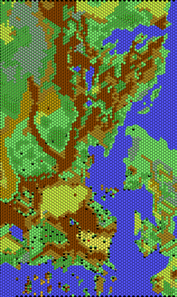
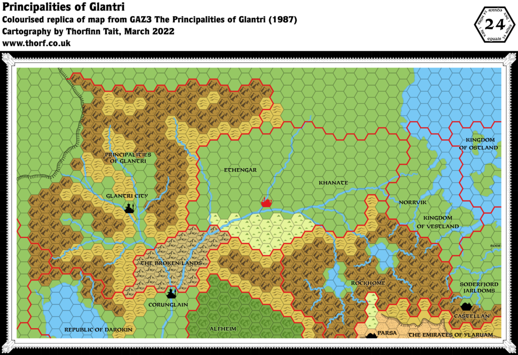
Unlike its predecessors, GAZ3 had its overview map printed within the pages of the Gazetteer. As such, it was in black and white, and much of the terrain was left blank — a common occurrence when dealing with products outside the immediate subject of the text. The terrain here was already featured in X1 and X11, so clearly it should not be taken as a deliberate revision, but rather as a (possibly deliberate?) omission.
In terms of significance, this map has some interesting peculiarities. As with the other maps like it, the rivers are nicely detailed compared to previous maps, and not aligned to the hex grid like GAZ3’s 8 mile per hex map. On the other hand, some of those that had been present since X1 have been missed out entirely.
Glantri City previously straddled the edge of two hexes, and it has been shifted to the northwestern one here — and, bizarrely, changed from a capital to a city symbol. This was likely done because the new symbols were usually made to conform to the hex grid. Additionally, none of Glantri’s other new settlements are marked.
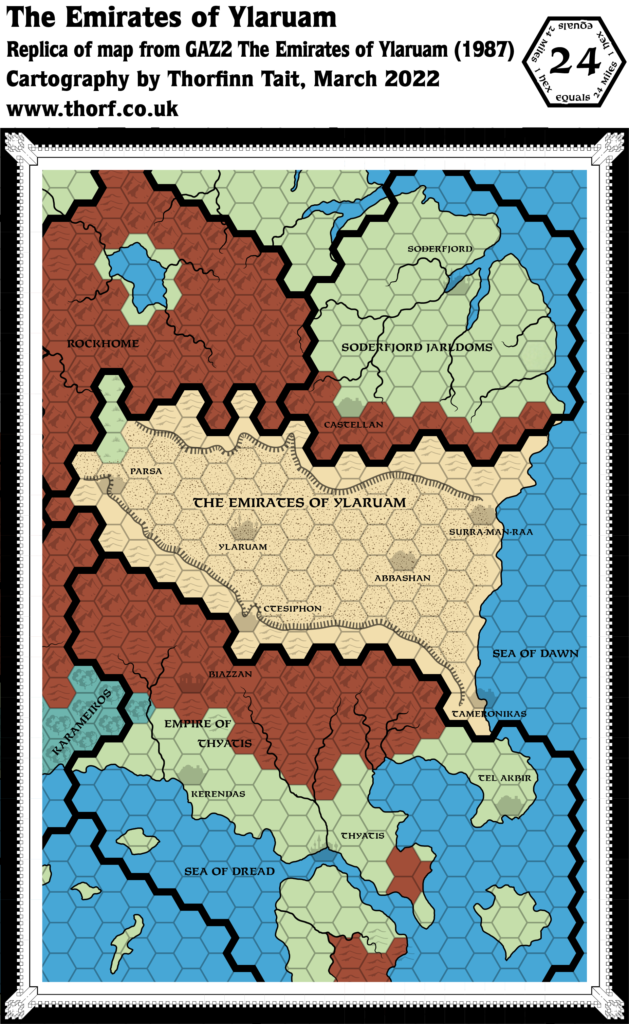
Perhaps most interestingly, the capital of Ethengar has been marked, but moved five or so hexes south along the river from where it had been in X10. Of course this city would soon vanish altogether with GAZ12’s release.
Finally, the terrain is slightly different from before, and the northern border is not the same as it was in X11. All in all, this is another map that looks simple at first glance, but that has all sorts of little details to explore.
Replica Map (March 2022)
Sources
- GAZ3 The Principalities of Glantri (1987) (PDF at DriveThruRPG)
- Page 3 map (Cartography by Dave Sutherland, Dennis Kauth)
Chronological Analysis
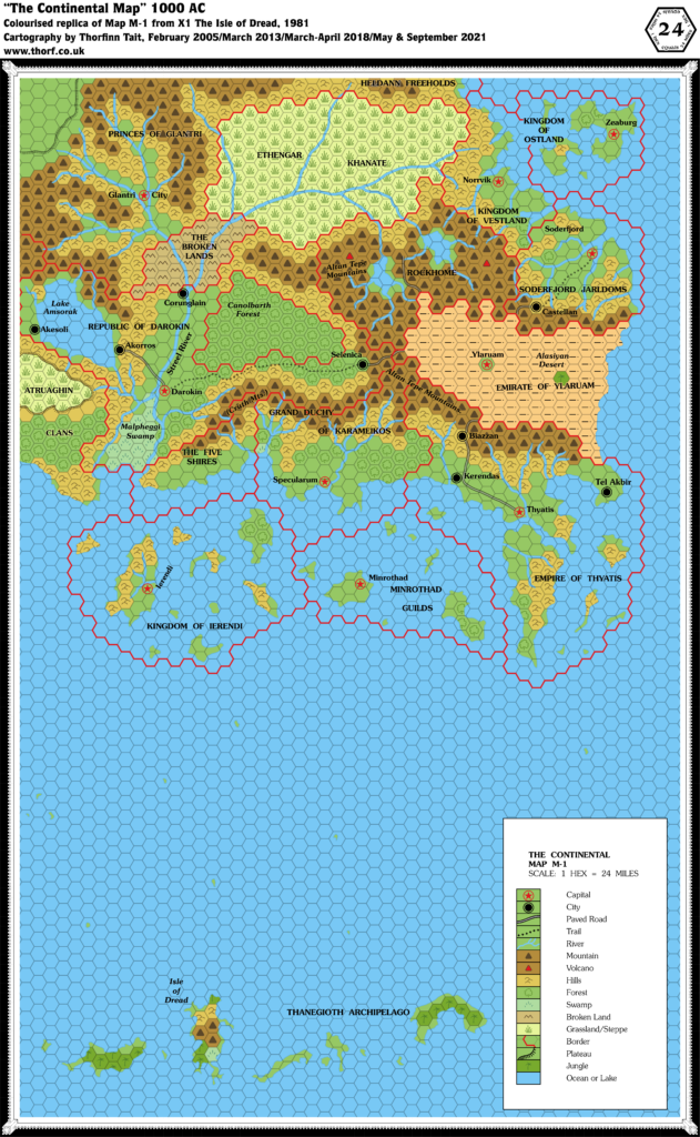
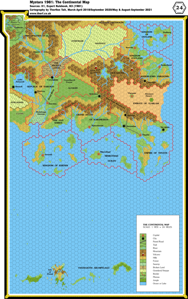
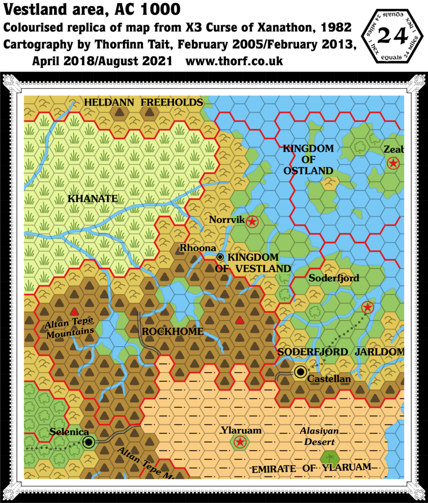
This is Map 64. It was published in September 1987. The updated version of this map has not yet been released. See also Appendix C for annual chronological snapshots of the area. For the full context of this map in Mystara’s publication history, see Let’s Map Mystara 1987.
The following lists are from the Let’s Map Mystara project. Additions are new features, introduced in this map. Revisions are changes to previously-introduced features. Hex Art & Fonts track design elements. Finally, Textual Additions are potential features found in the related text. In most cases, the Atlas adopts these textual additions into updated and chronological maps.
Additions
None to speak of.
Revisions
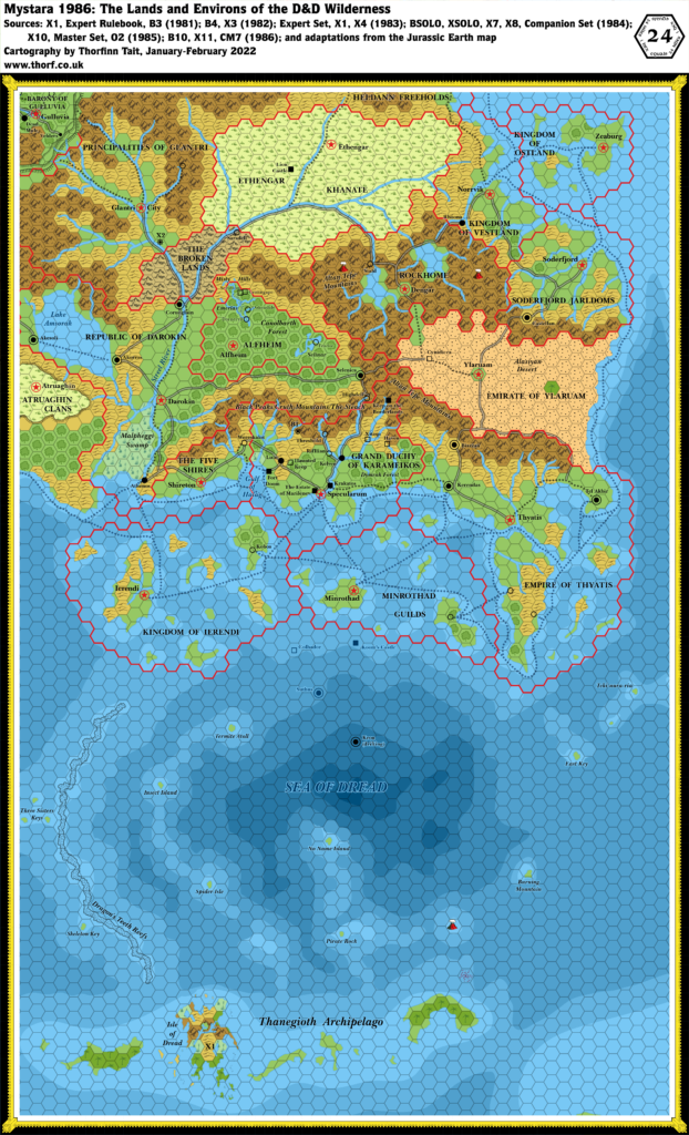
- Borders — The Glantri/Wendar border, previously defined in X11, has been altered, giving Glantri two more hexes of hills but ceding one hex of mountains to Wendar. Comparison with the contemporary 8 mile per hex map shows that this change was not carried through there, however. The western extreme of this border is also different, with the border proceeding to the foot of the Adri Varma Plateau about three hexes southeast of X11’s location. Again, the 8 mile per hex map provides further clarity on this issue.
- Rivers — Some rivers have been left out or otherwise simplified compared with previous maps. None of these changes is significant, however.
- Settlements — The capital of the Ethengar Khanate, previously marked about 5 hexes upstream in X10, has been moved to just north of the major river fork. It lacks any sort of label. Glantri City itself was conformed to the hex grid, thus shifting it from its previously ambiguous position.
- Terrain — Glantri is the primary area of interest, and there are less hill hexes than in previous maps. However, since the contemporary 8 mile per hex map supersedes this, further analysis seems unnecessary at this point.
Hex Art & Fonts
- Symbols — The original map featured black and white variants of the Gazetteer series standard.
- Fonts — Feinen throughout.


