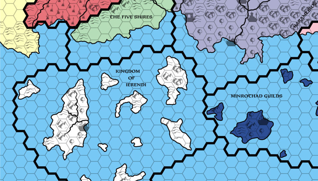
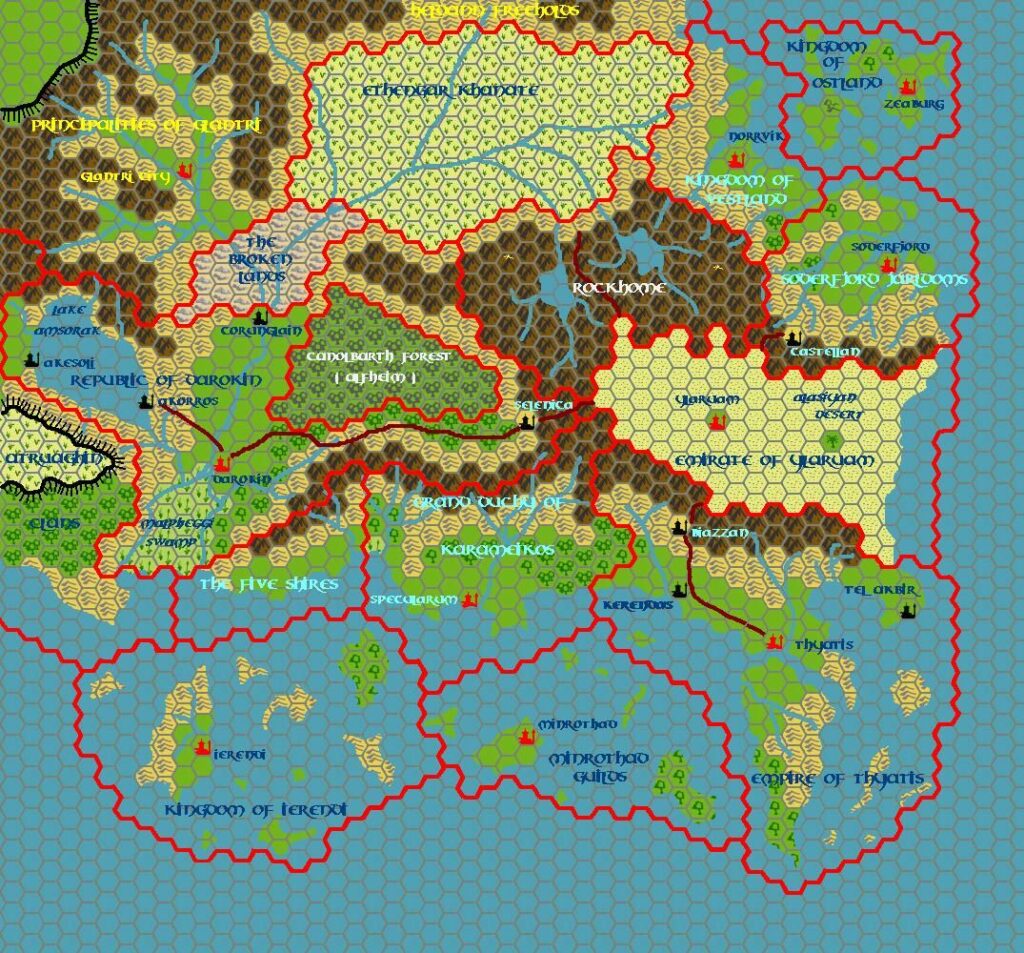
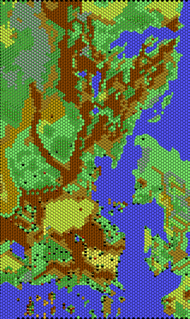
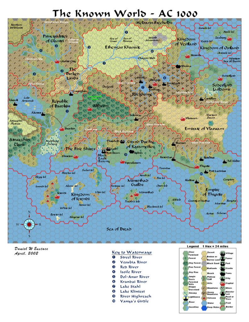
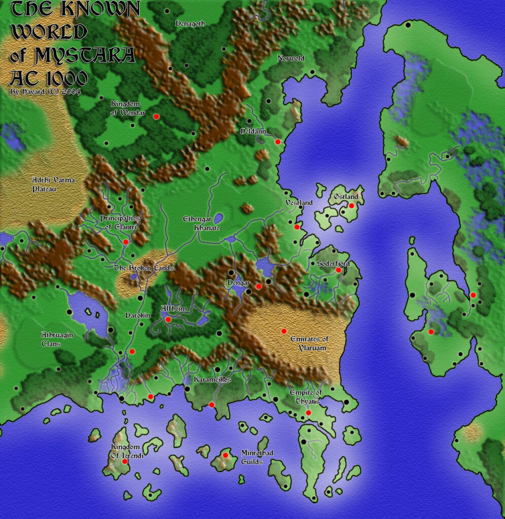
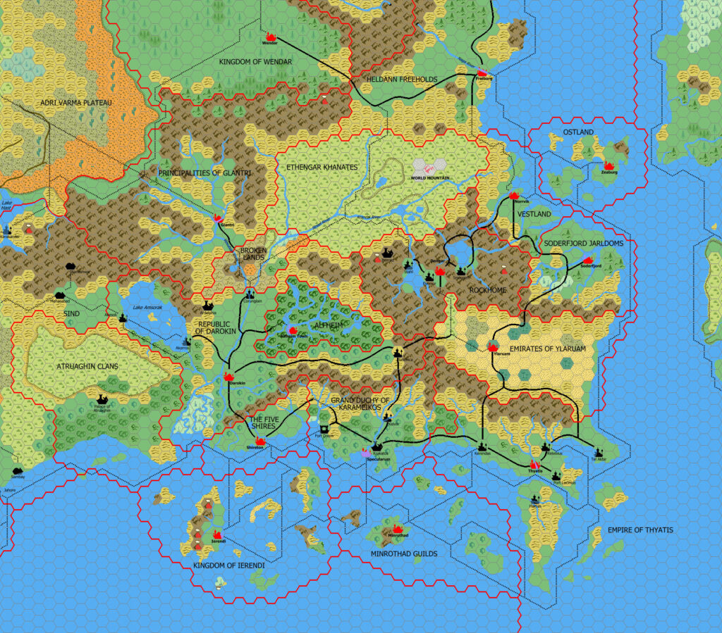
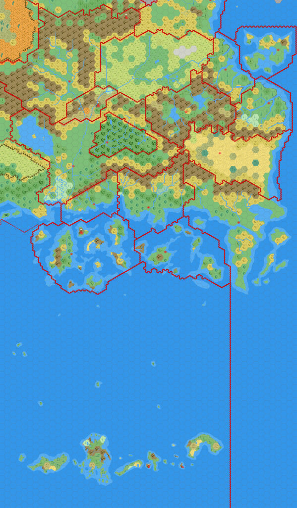
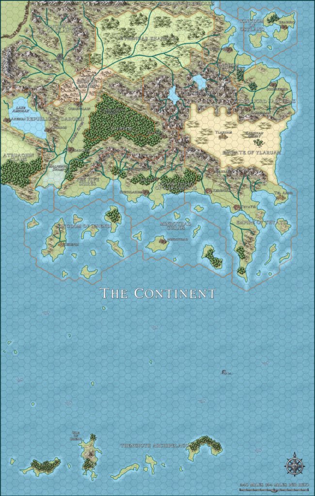
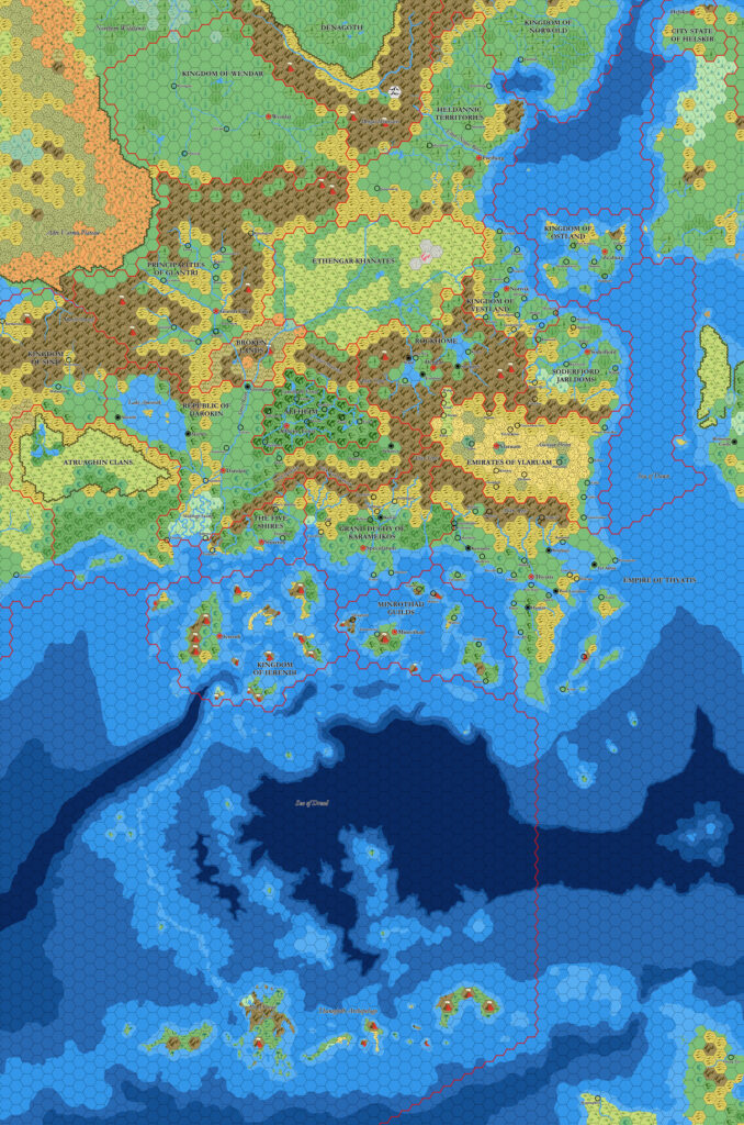
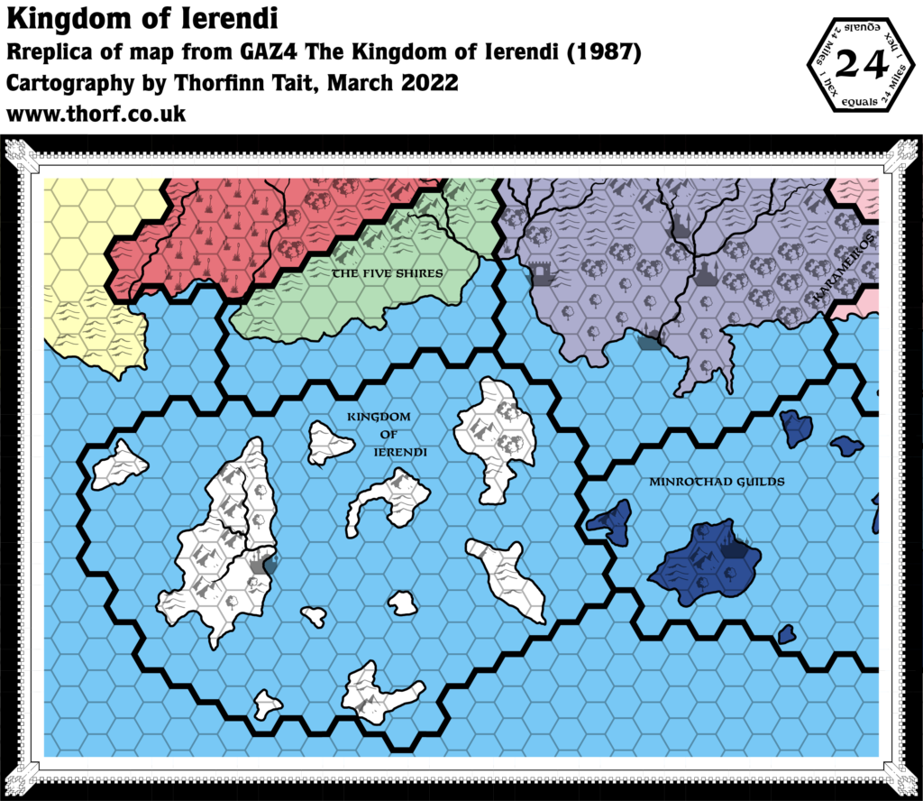
GAZ4 Ierendi, 24 miles per hex
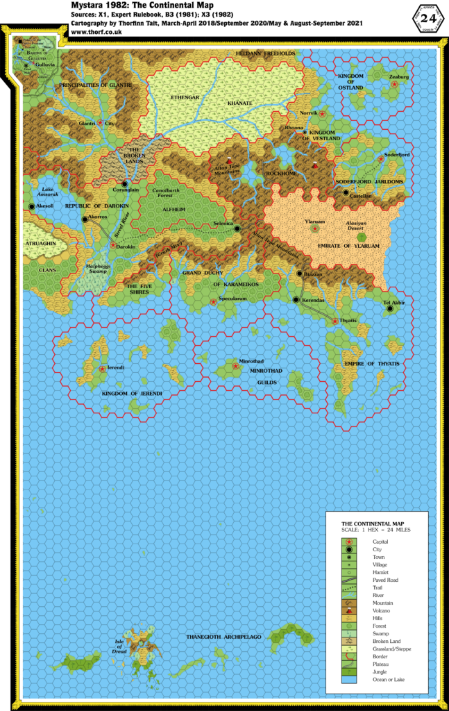
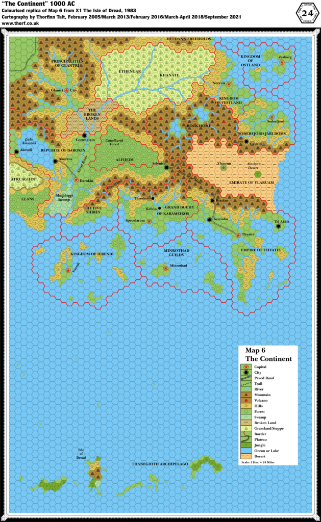
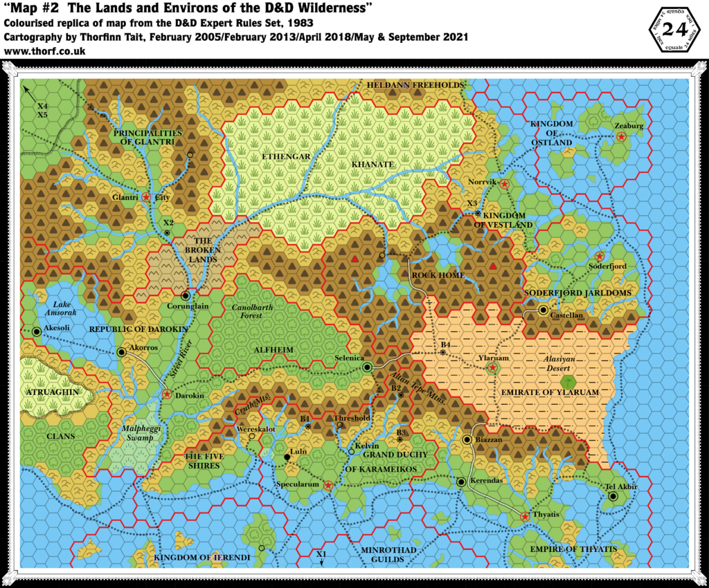
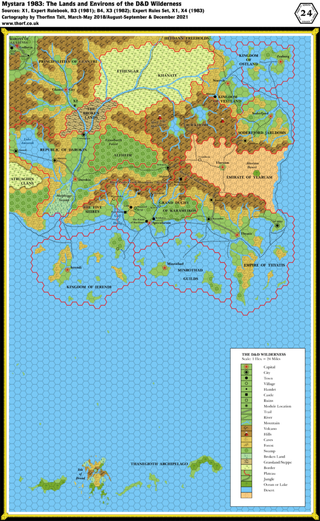
The overview map from GAZ4 was a rather attractive-looking map. I’ve always liked the colours chosen for the countries here.
In terms of detail, it actually had some interesting parts, too: Karameikos has not just heavy forests but also light forests, where GAZ1’s overview map had clear hexes. And of course the isles of Ierendi and even Minrothad have a variety of terrain hexes, where previously they were either clear, hills, or forest.
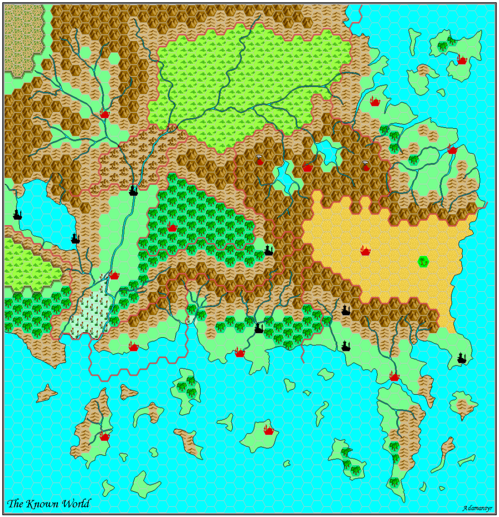
Replica Map (March 2022)
Sources
- GAZ4 The Kingdom of Ierendi (1987) (PDF at DriveThruRPG)
- Cover gatefold map (Cartography by Frey Graphics, Steve Sullivan, Dave LaForce)
Chronological Analysis
This is Map 78. It was published in December 1987. The updated version of this map has not yet been released. See also Appendix C for annual chronological snapshots of the area. For the full context of this map in Mystara’s publication history, see Let’s Map Mystara 1987.
The following lists are from the Let’s Map Mystara project. Additions are new features, introduced in this map. Revisions are changes to previously-introduced features. Hex Art & Fonts track design elements. Finally, Textual Additions are potential features found in the related text. In most cases, the Atlas adopts these textual additions into updated and chronological maps.
Coming Soon

