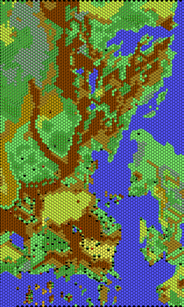
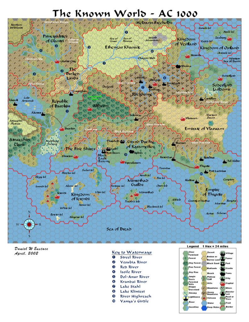
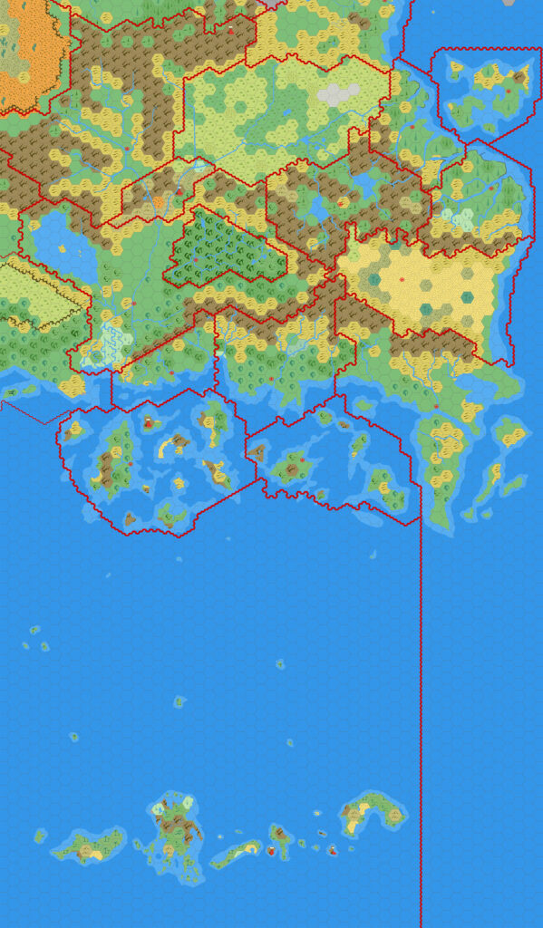
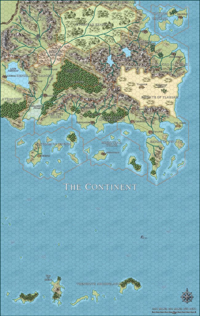
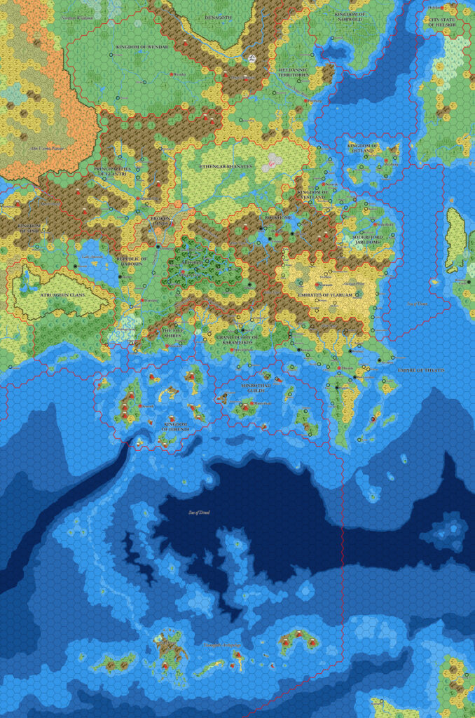
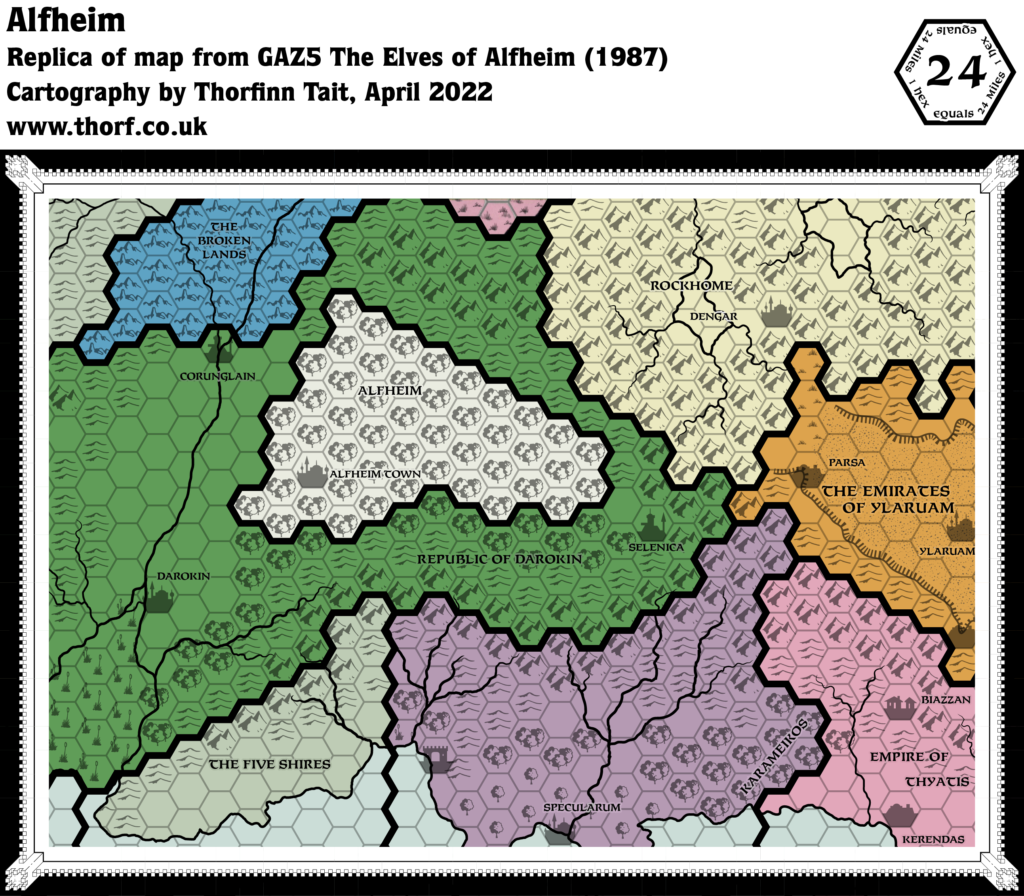
GAZ5 Alfheim, 24 miles per hex
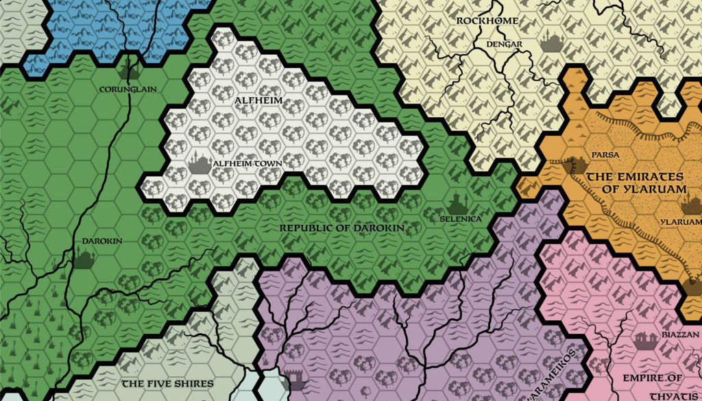
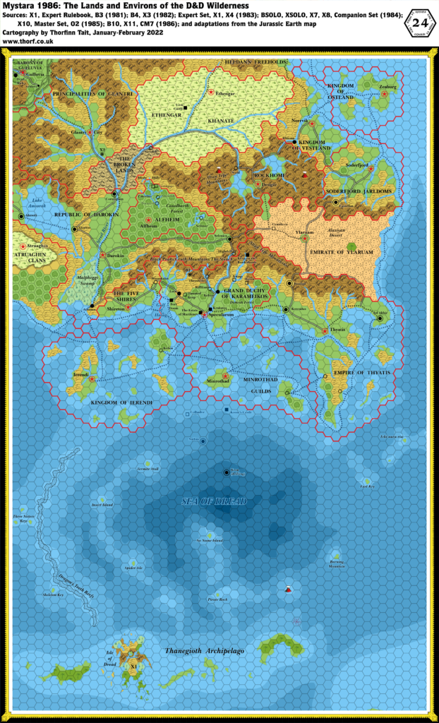
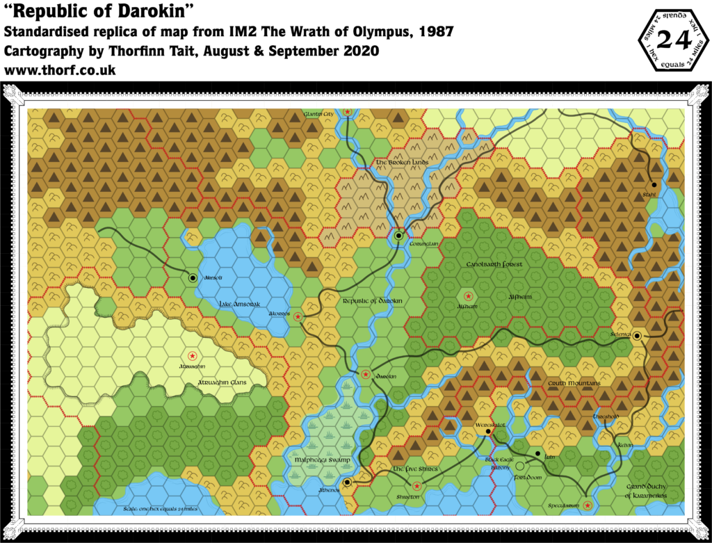
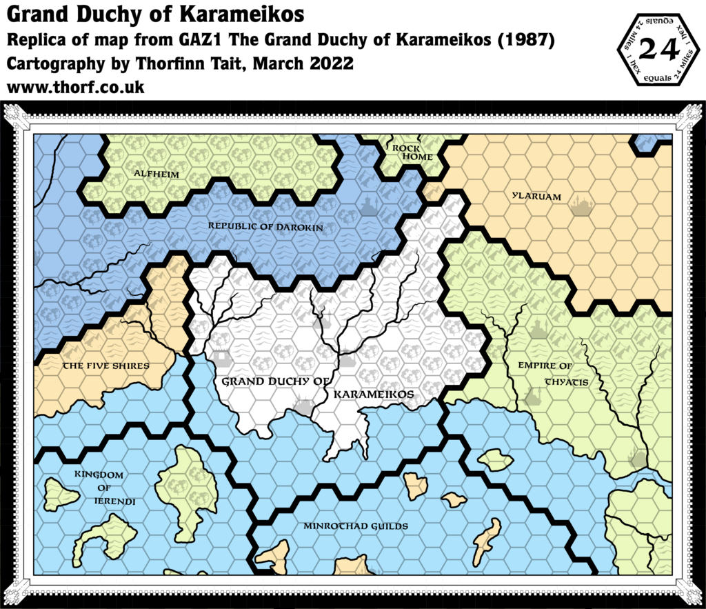
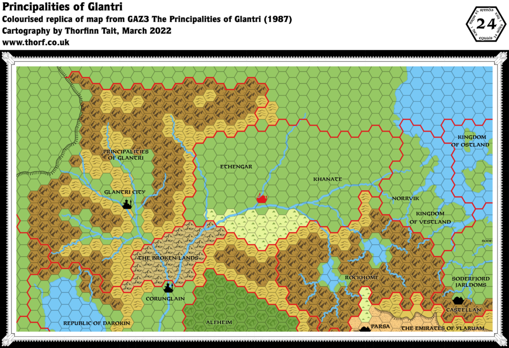
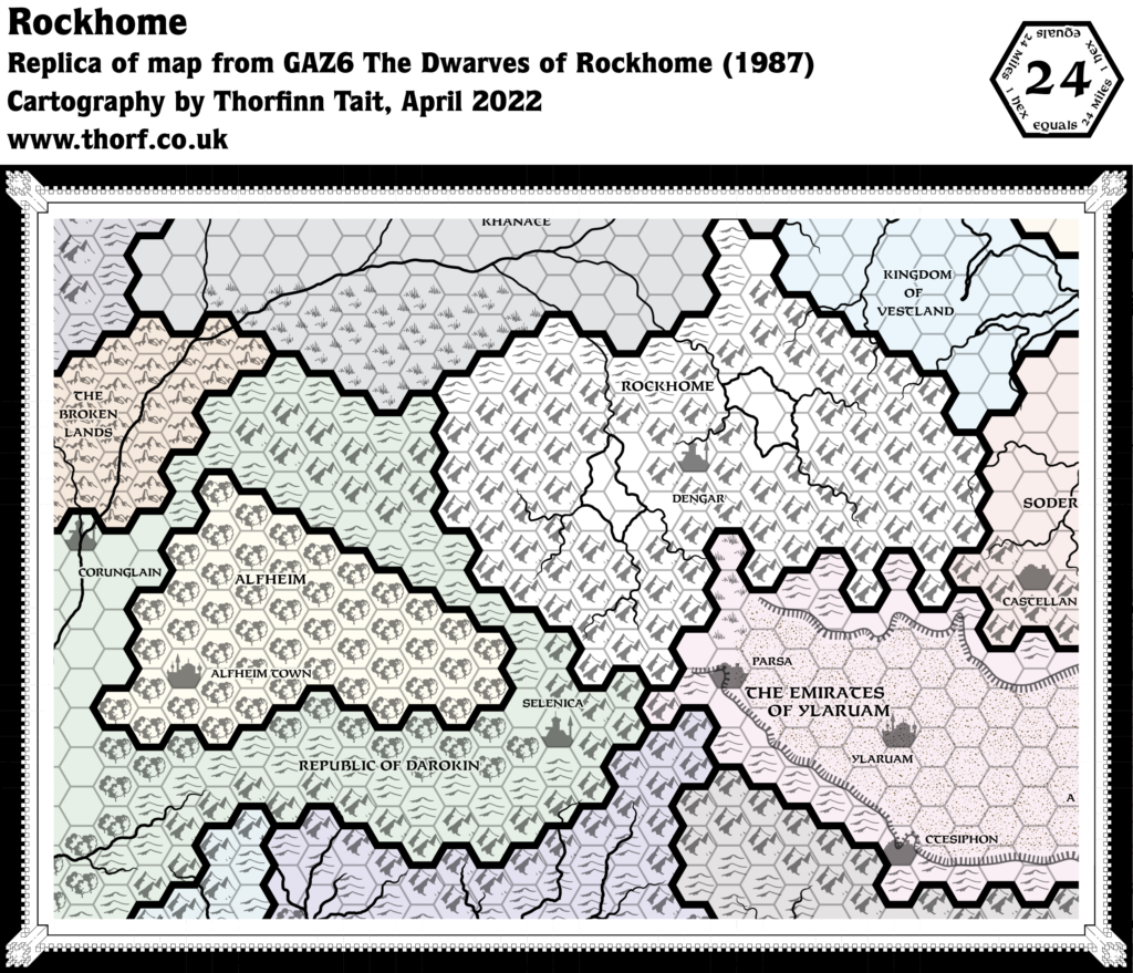
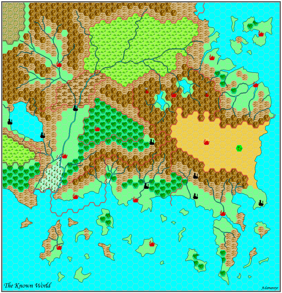
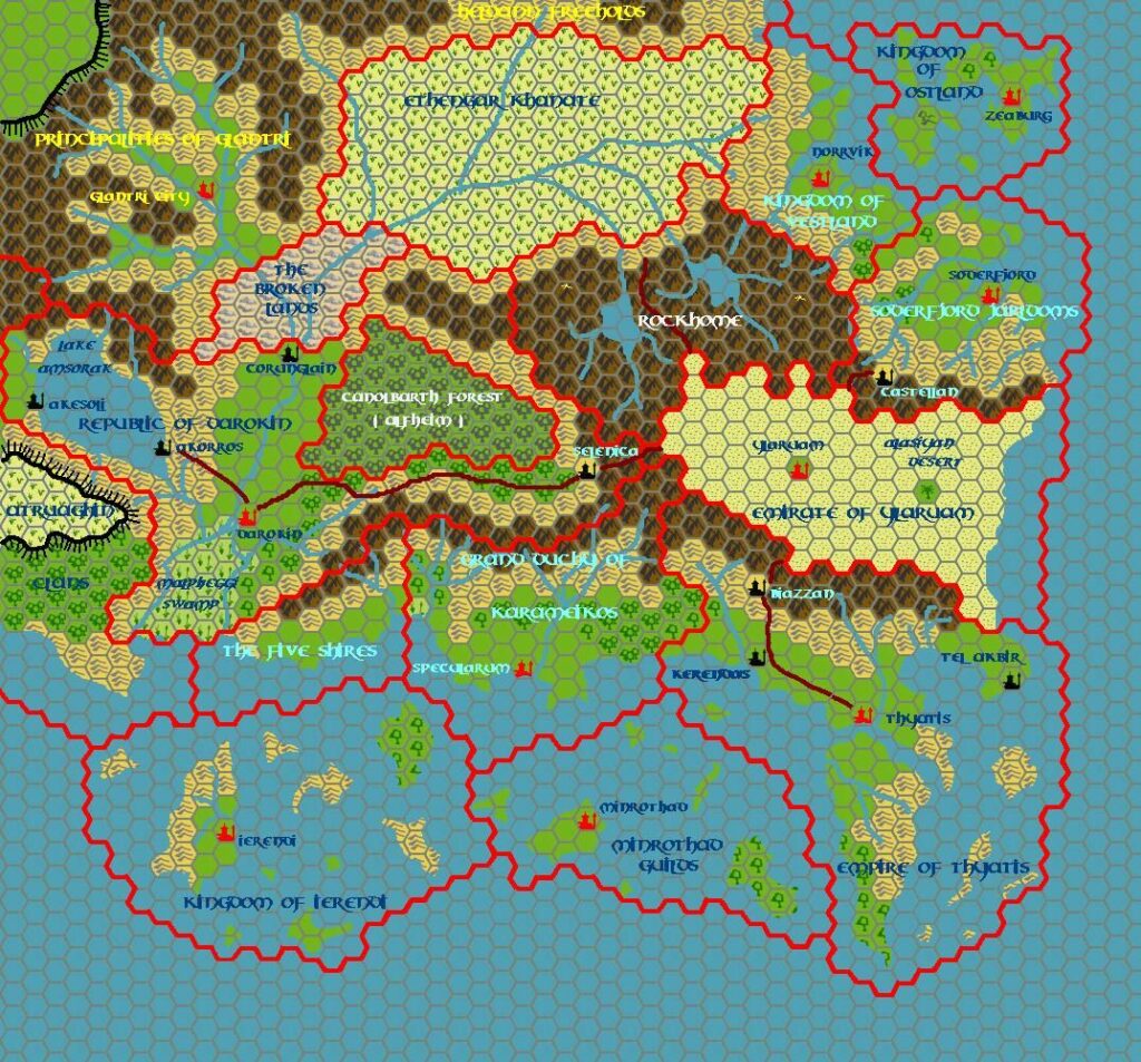
The Alfheim Gazetteer’s regional overview map, by this time a regular feature of the series, did not really include anything new of note. It opted not to add any of Alfheim’s new details to this scale, for better or for worse, other than the capital. The colour scheme was shifted to include a rich green colour. In keeping with its predecessors, the country of focus was presented in white, so it was Darokin that became green rather than Alfheim itself. This certainly emphasises Alfheim nicely, as Darokin completely surrounds it.
Replica Map (April 2022)
Sources
- GAZ5 The Elves of Alfheim (1988) (PDF at DriveThruRPG)
- Cover gatefold map (Cartography by Dave Sutherland, Dennis Kauth)
Chronological Analysis
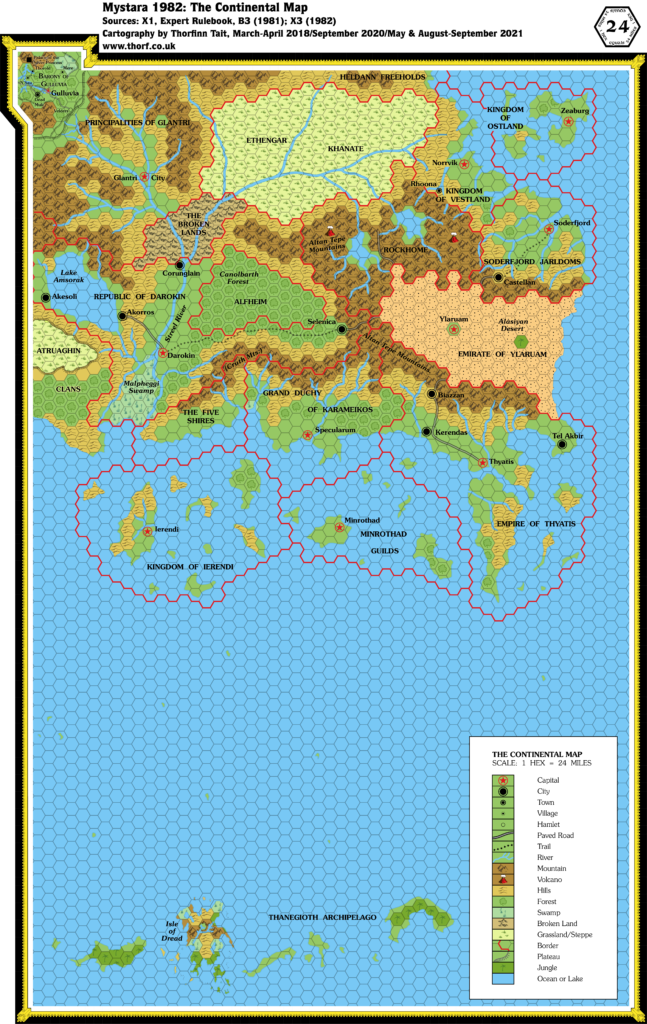
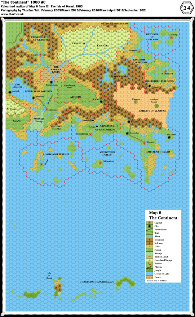
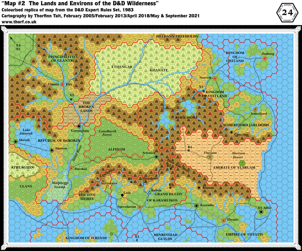
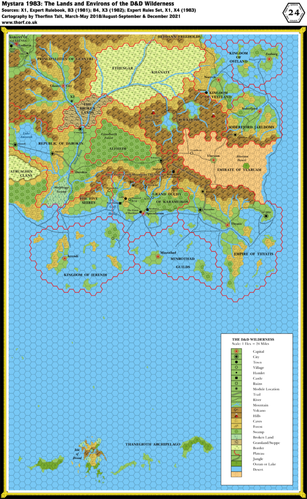
This is Map 88. It was published in March 1988. The updated version of this map has not yet been released. See also Appendix C for annual chronological snapshots of the area. For the full context of this map in Mystara’s publication history, see Let’s Map Mystara 1988.
The following lists are from the Let’s Map Mystara project. Additions are new features, introduced in this map. Revisions are changes to previously-introduced features. Hex Art & Fonts track design elements. Finally, Textual Additions are potential features found in the related text. In most cases, the Atlas adopts these textual additions into updated and chronological maps.
Coming Soon

