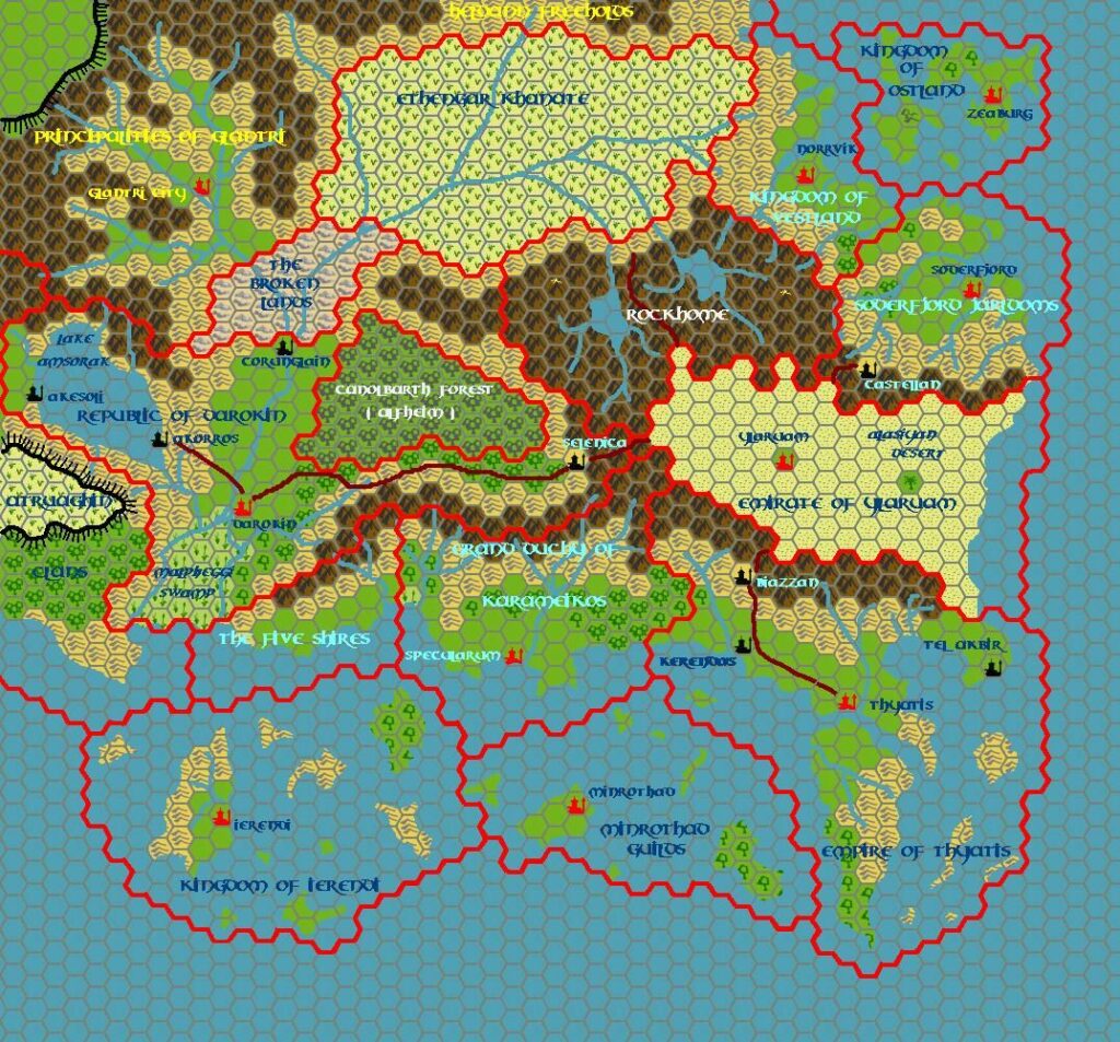
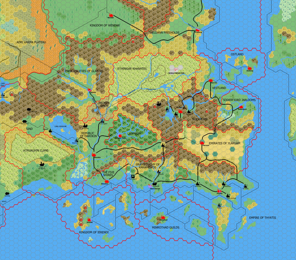
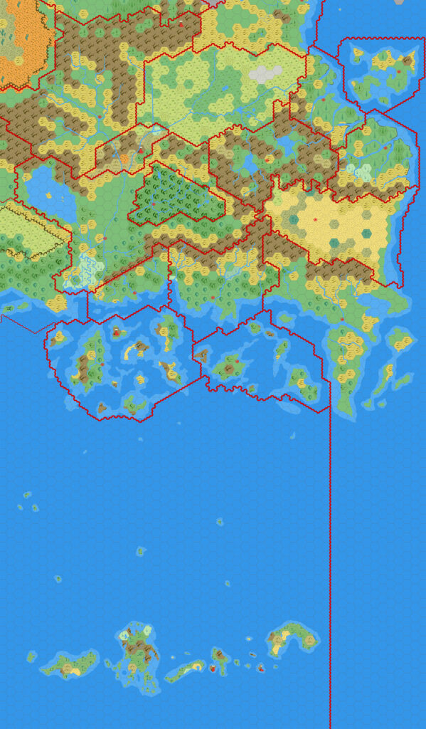
GAZ6 Rockhome, 24 miles per hex
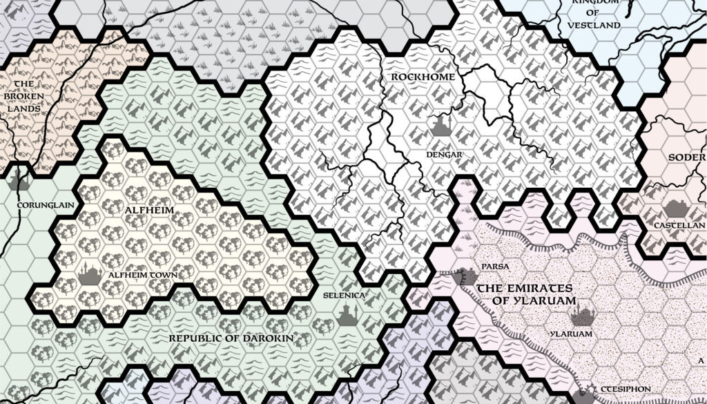
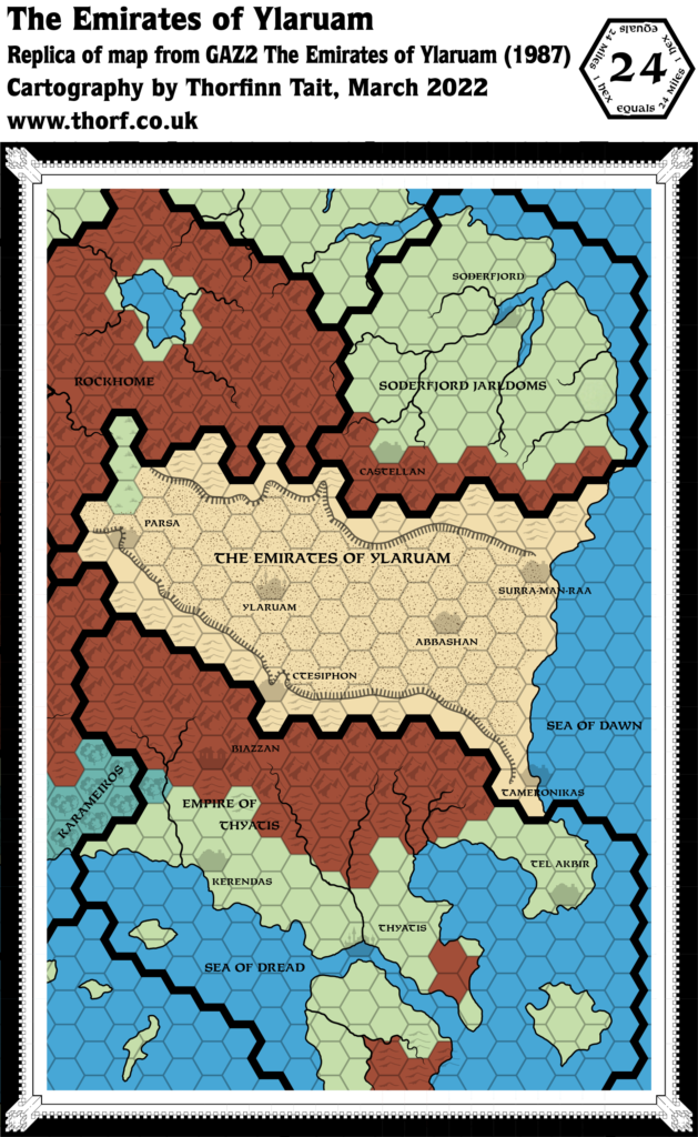
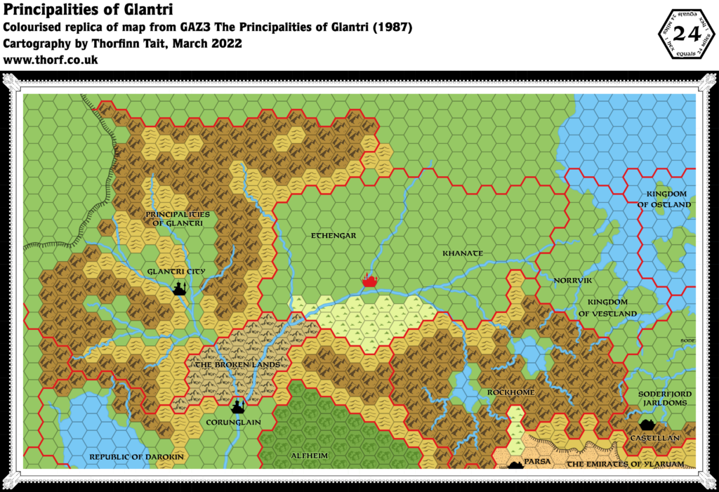
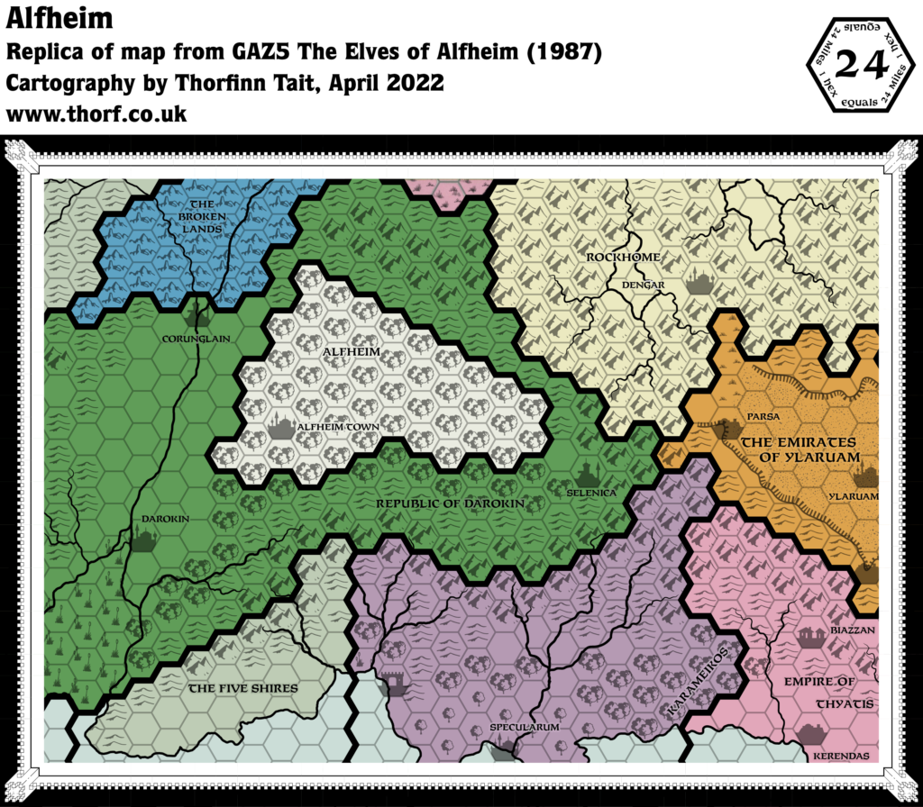
Rockhome’s overview map in GAZ6 had a single adjustment, shifting Dengar one hex to the north. However, this is not in line with the 8 mile per hex map, which kept it in the same place it had been since its debut in X10.
Replica Map (April 2022)
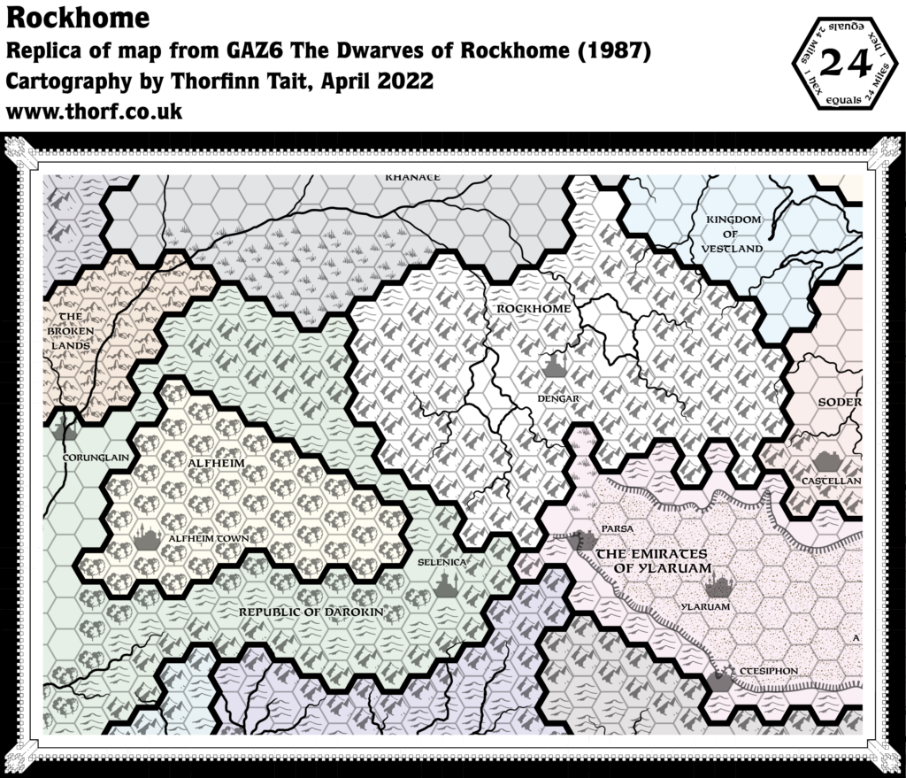
Sources
- GAZ6 The Dwarves of Rockhome (1988) (PDF at DriveThruRPG)
- Cover gatefold map (Cartography by David C. Sutherland III, Dave Laforce, Dennis Kauth)
Chronological Analysis
This is Map 92. It was published in May 1988. The updated version of this map has not yet been released. See also Appendix C for annual chronological snapshots of the area. For the full context of this map in Mystara’s publication history, see Let’s Map Mystara 1988.
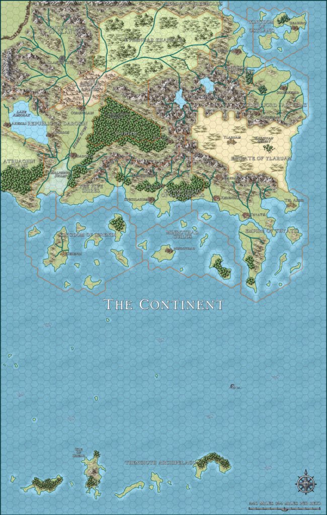
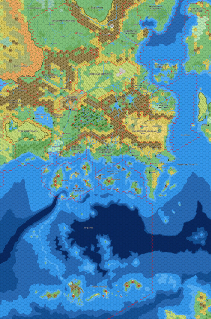
The following lists are from the Let’s Map Mystara project. Additions are new features, introduced in this map. Revisions are changes to previously-introduced features. Hex Art & Fonts track design elements. Finally, Textual Additions are potential features found in the related text. In most cases, the Atlas adopts these textual additions into updated and chronological maps.
Coming Soon



19 April 2022 @ 12:51 pm
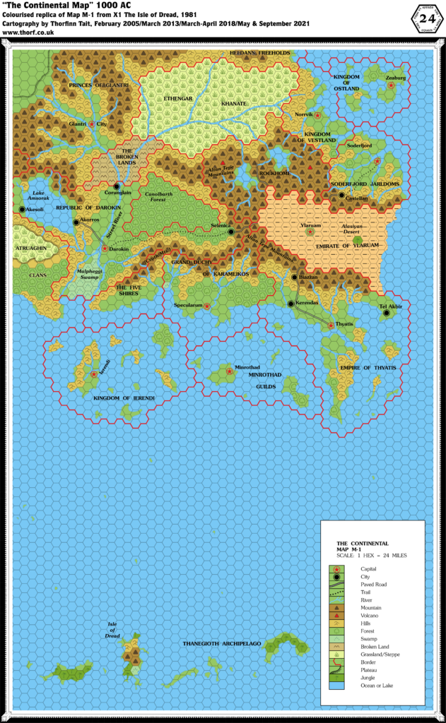
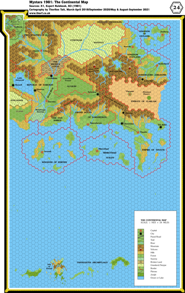
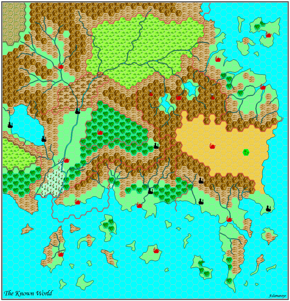
It’s a colour map. Thus, the lakes should have a lake colour. Remember that they are some 25 miles across; that’s the width of the Amazon in the wet season. It’s not like some small insignificant streamlet.
5 May 2022 @ 11:28 am
I couldn’t agree more. It was likely an oversight — and indeed one that was made multiple times in Mystara’s history.
However, I won’t be correcting it. This map is a replica of the official one, and as such it faithfully reproduces whatever mistakes and weirdness were inherent in the original. For an updated/corrected version, see the Chronological maps or the Updated maps series. (As of this writing, Known World, 24 miles per hex (1986) is the most recent version available.)