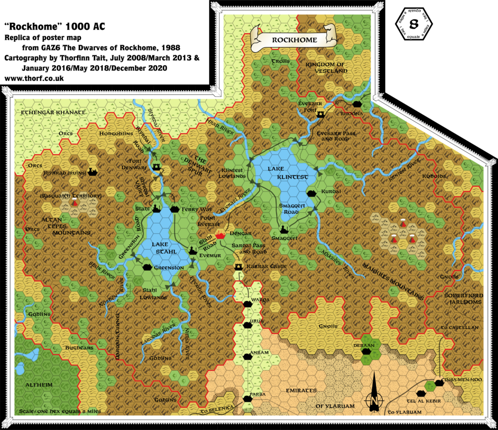
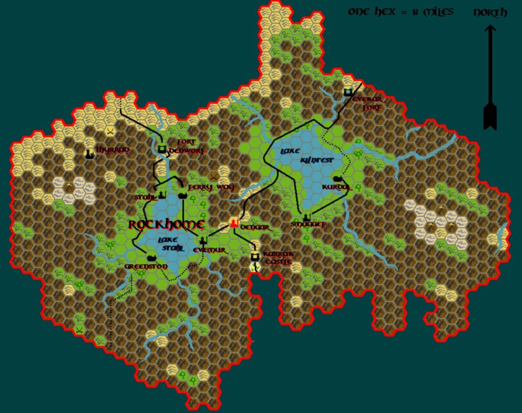
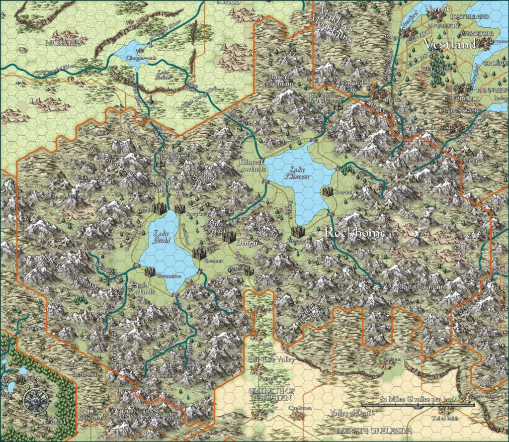
GAZ6 Rockhome, 8 miles per hex
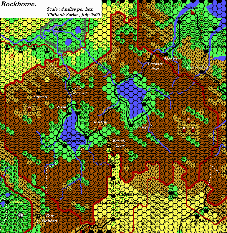
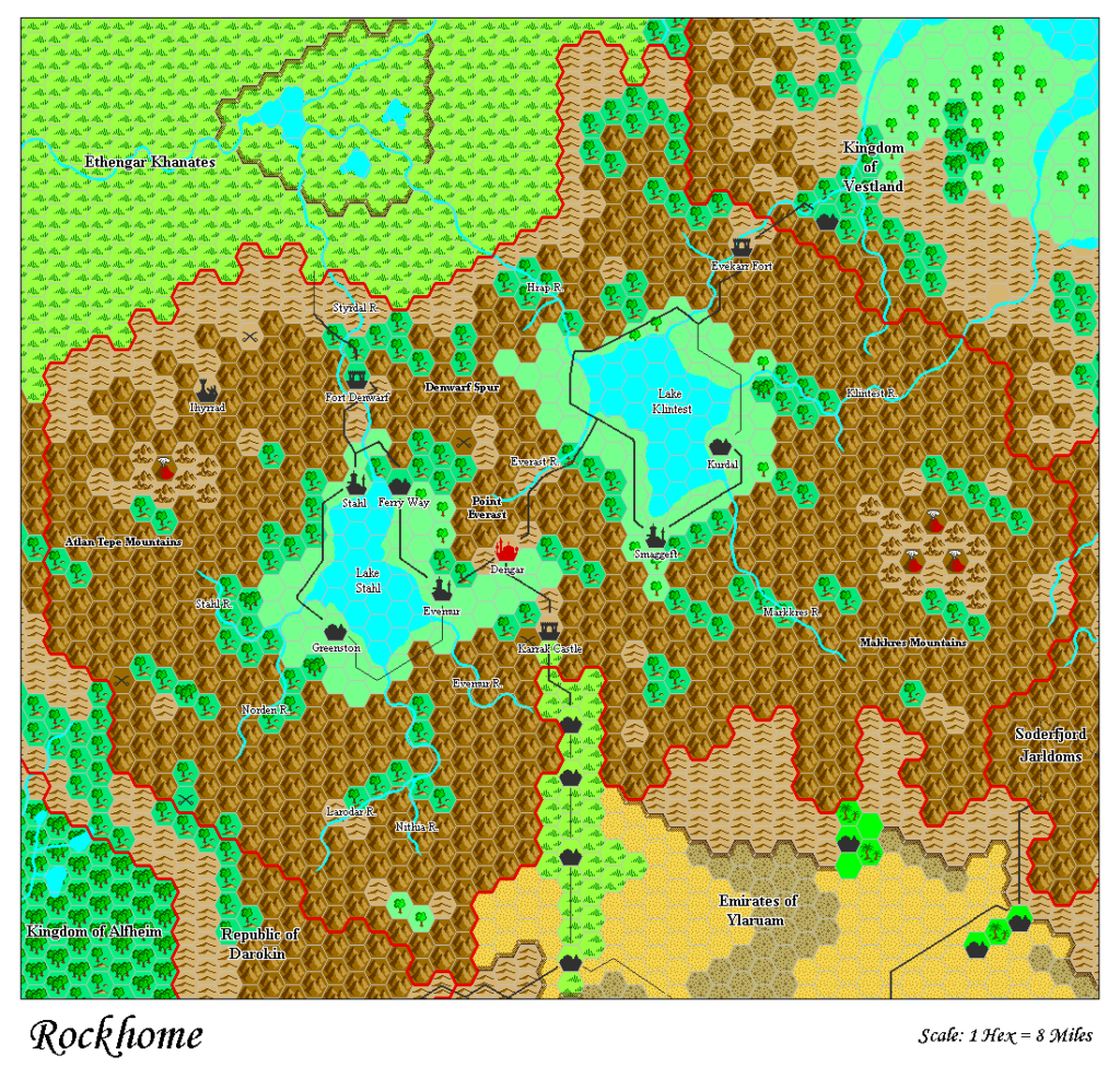
The map of the dwarves’ realm carried on with the tradition of not including villages, but far more significant was its omission of an underground map. Its lack was felt even more with the release of GAZ10, and then GAZ13, both of which detailed Mystara’s underworld in glorious detail.
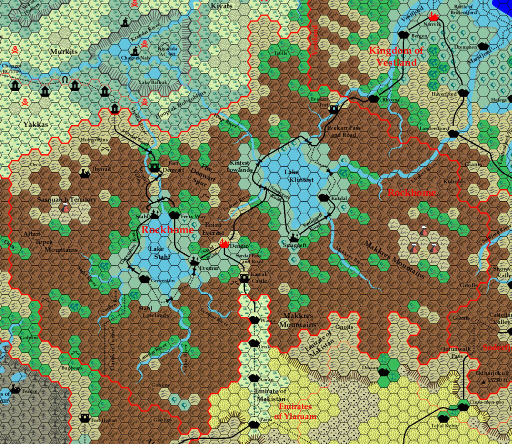
The map itself is otherwise very nice, although it has problems with river bifurcation around Lake Klintest.
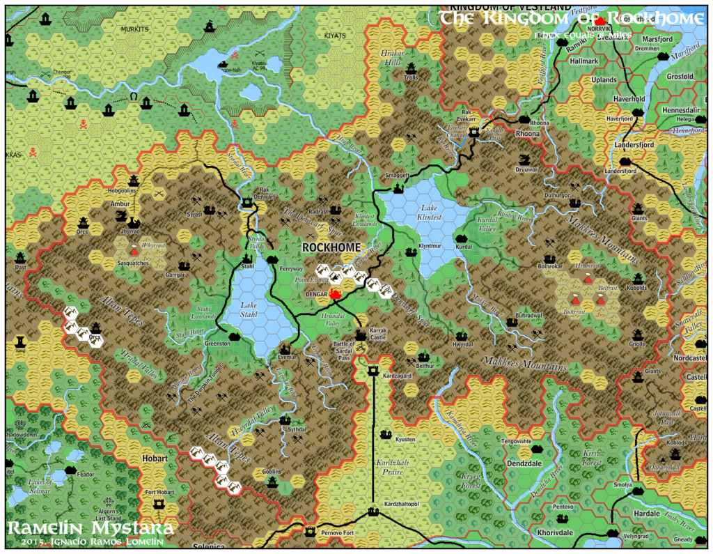
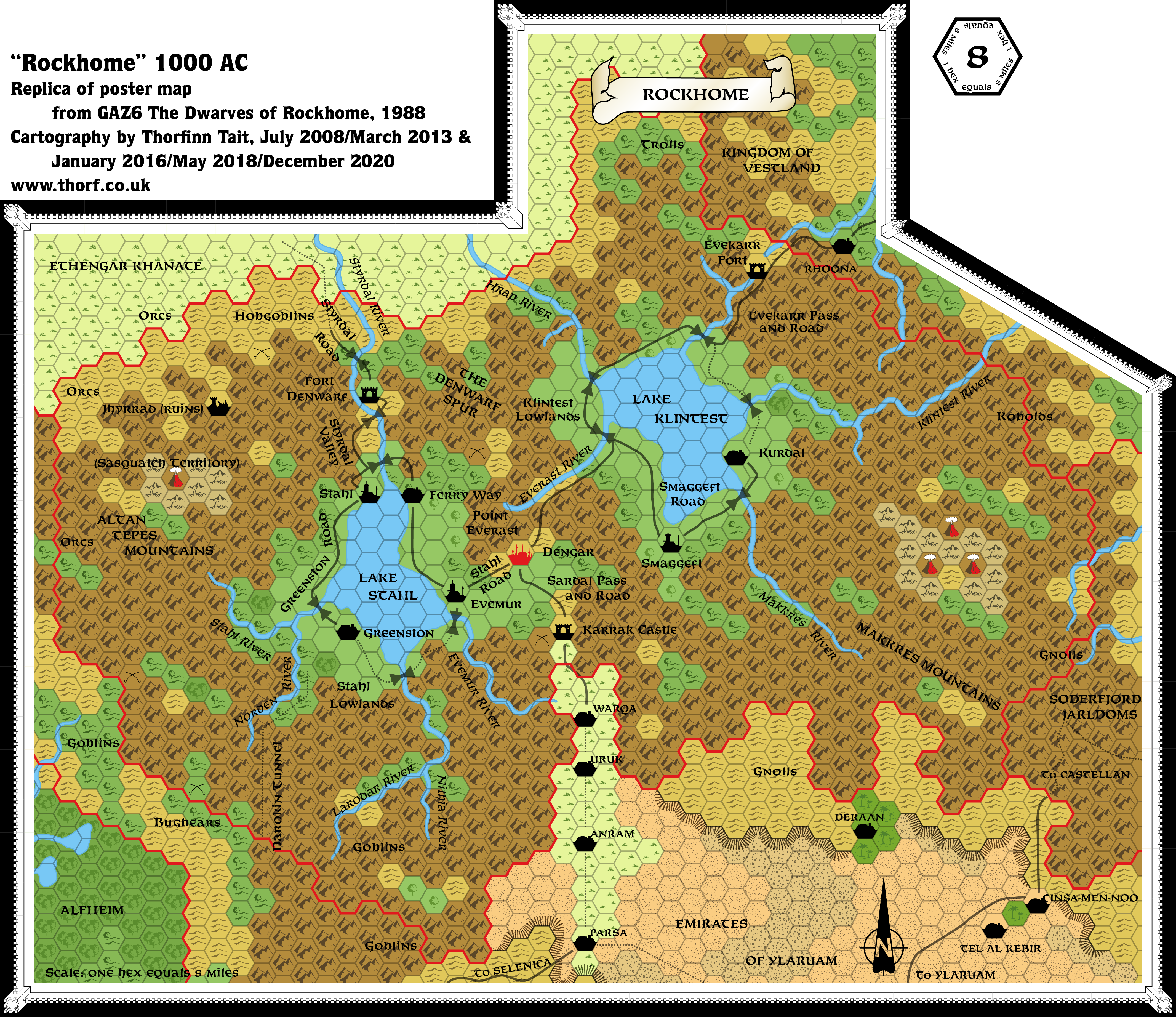
Replica Map (December 2020)
Sources
- GAZ6 The Dwarves of Rockhome (1988) (PDF at DriveThruRPG)
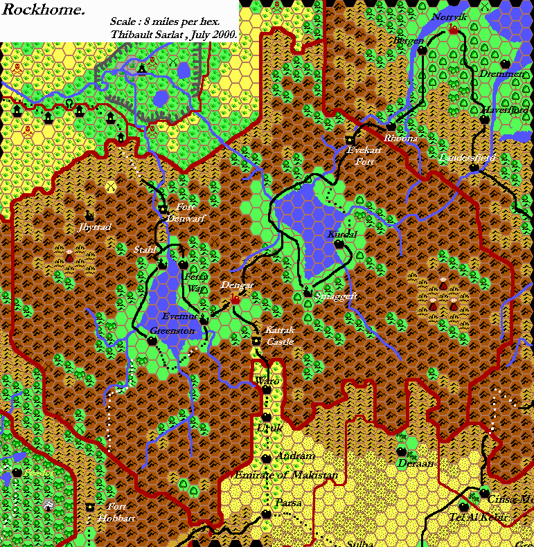
- Poster map (Cartography by Dave C, Sutherland III, Dave LaForce, Dennis Kauth)
Chronological Analysis
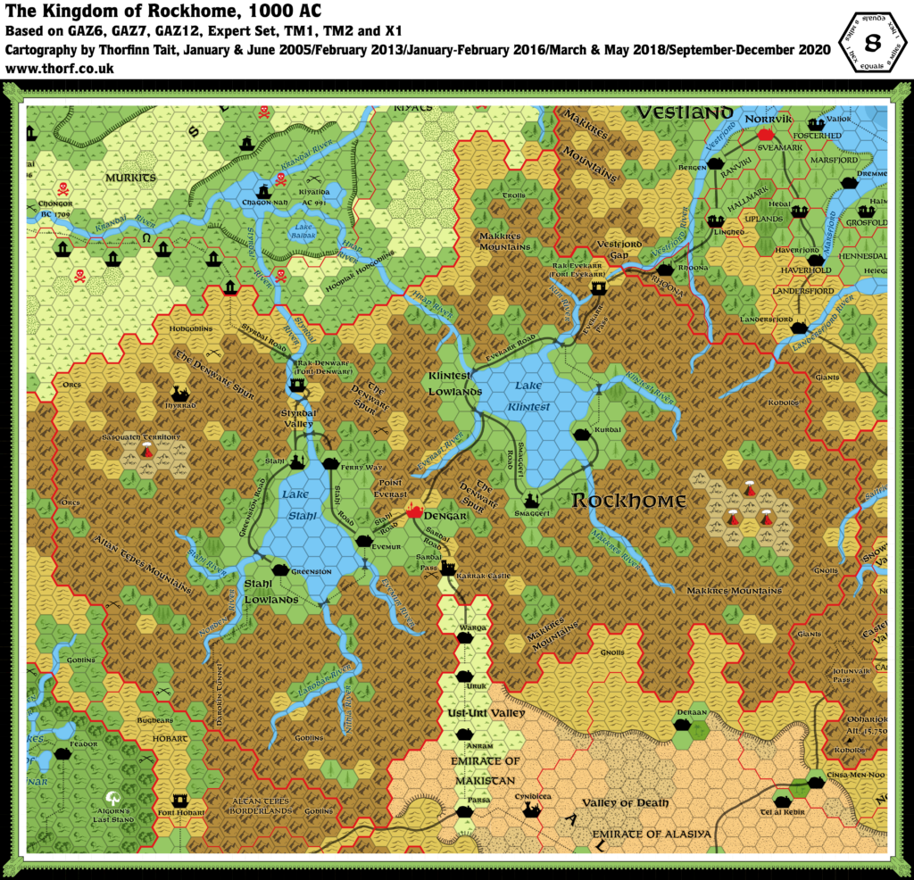
This is Map 88. It was published in May 1988. The updated version of this map is Rockhome, 8 miles per hex. See also Appendix C for annual chronological snapshots of the area. For the full context of this map in Mystara’s publication history, see Let’s Map Mystara 1988.
The following lists are from the Let’s Map Mystara project. Additions are new features, introduced in this map. Revisions are changes to previously-introduced features. Hex Art & Fonts track design elements. Finally, Textual Additions are potential features found in the related text. In most cases, the Atlas adopts these textual additions into updated and chronological maps.
Under Construction! Please check back again soon for updates.
Additions
- Settlements —
Revisions
- Settlements —
Hex Art & Fonts
- Hex Art —
- Fonts —
Textual Additions (GAZ6, May 1988)
- Immortals — Thanatos, “Immortal of the Sphere of Entropy”, also known as Karr in Dwarvish (GAZ6 page 19b, 28c).
- Settlements —