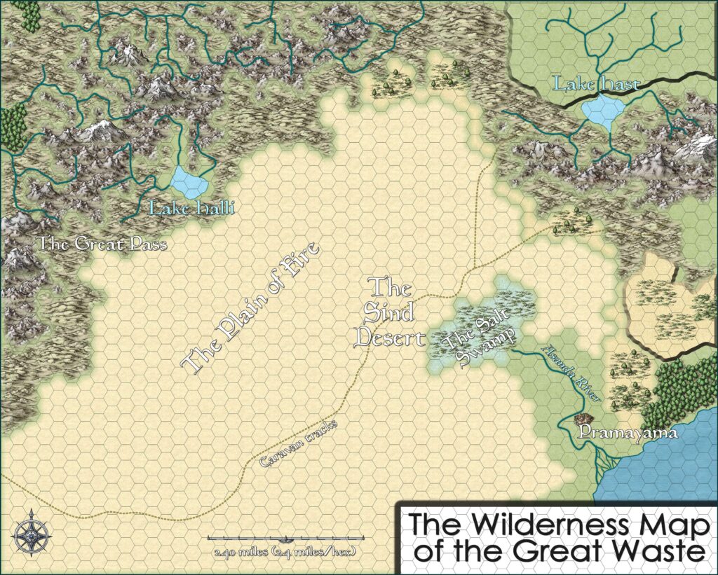
Great Waste, 24 miles per hex (1985)
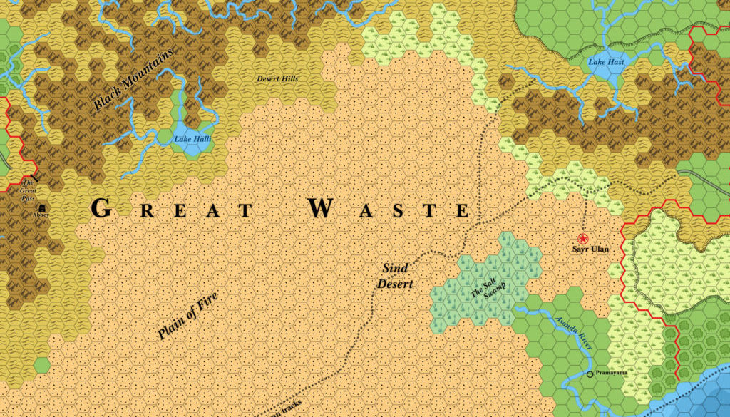
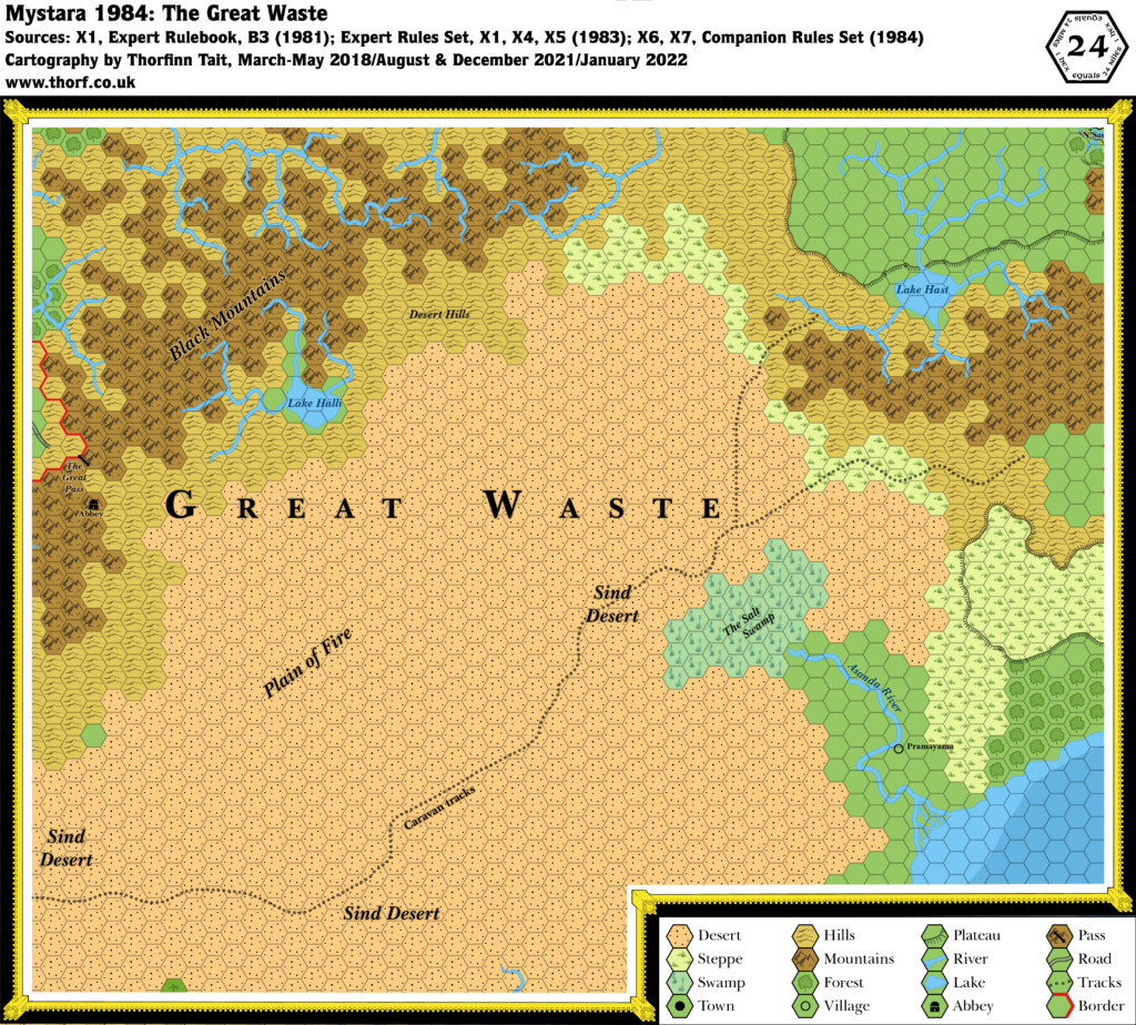
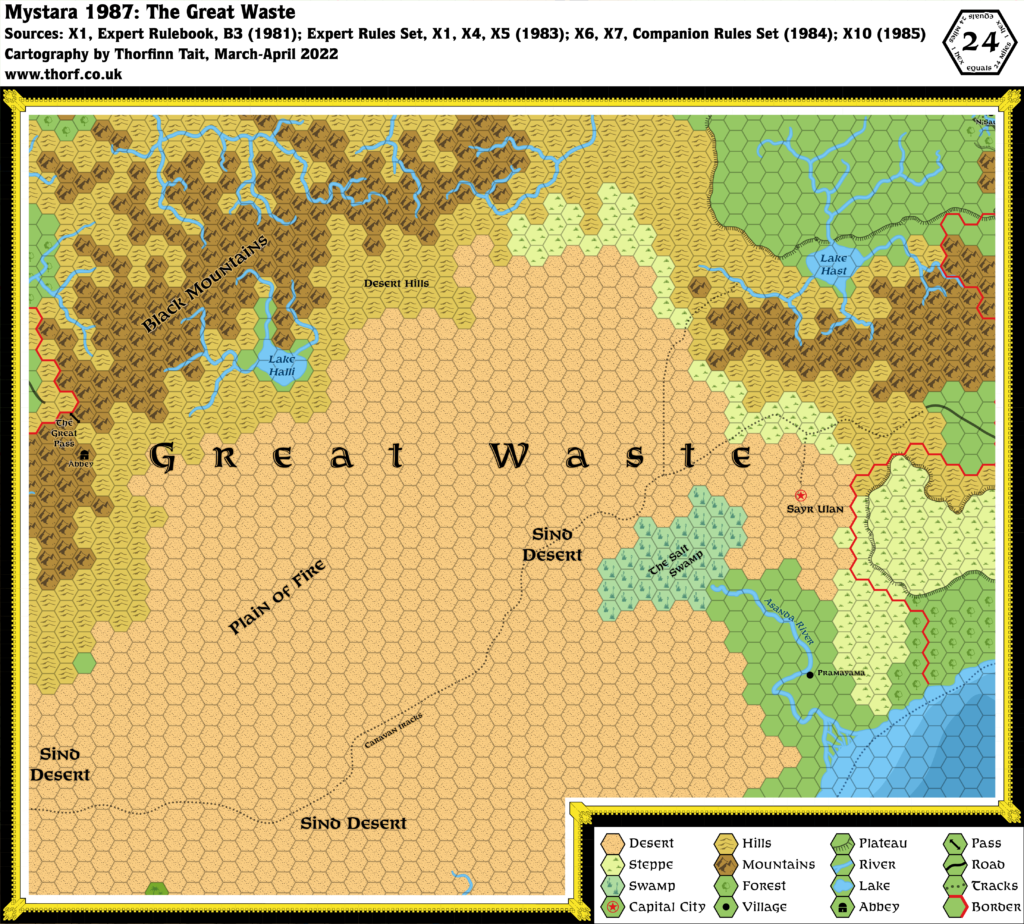
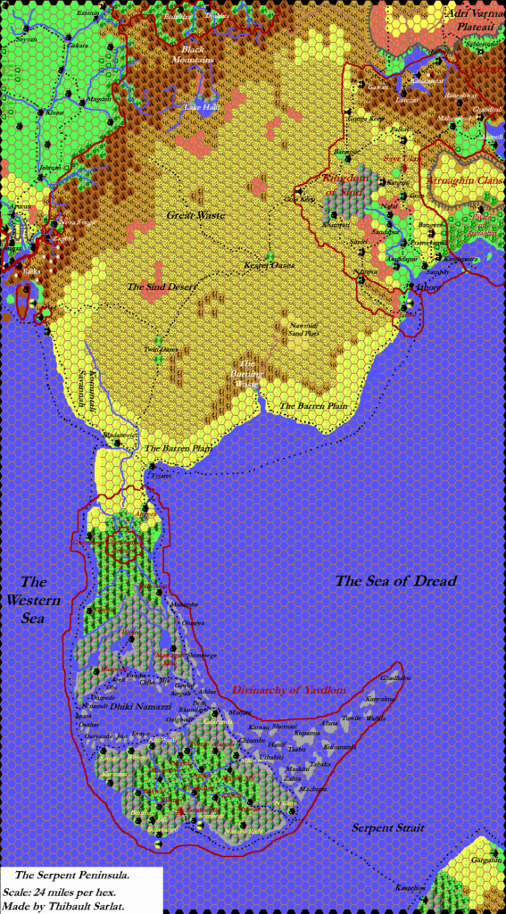
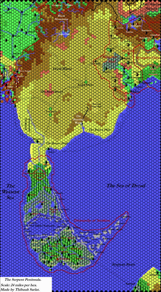
X10 provided a major development for the Great Waste region in the form of the new settlement of Sayr Ulan. At this point, it was only a tent city — though a very large one — and there was as yet no nation for it to be the capital of. Nevertheless, X10’s map marked it with a “Capital” icon.
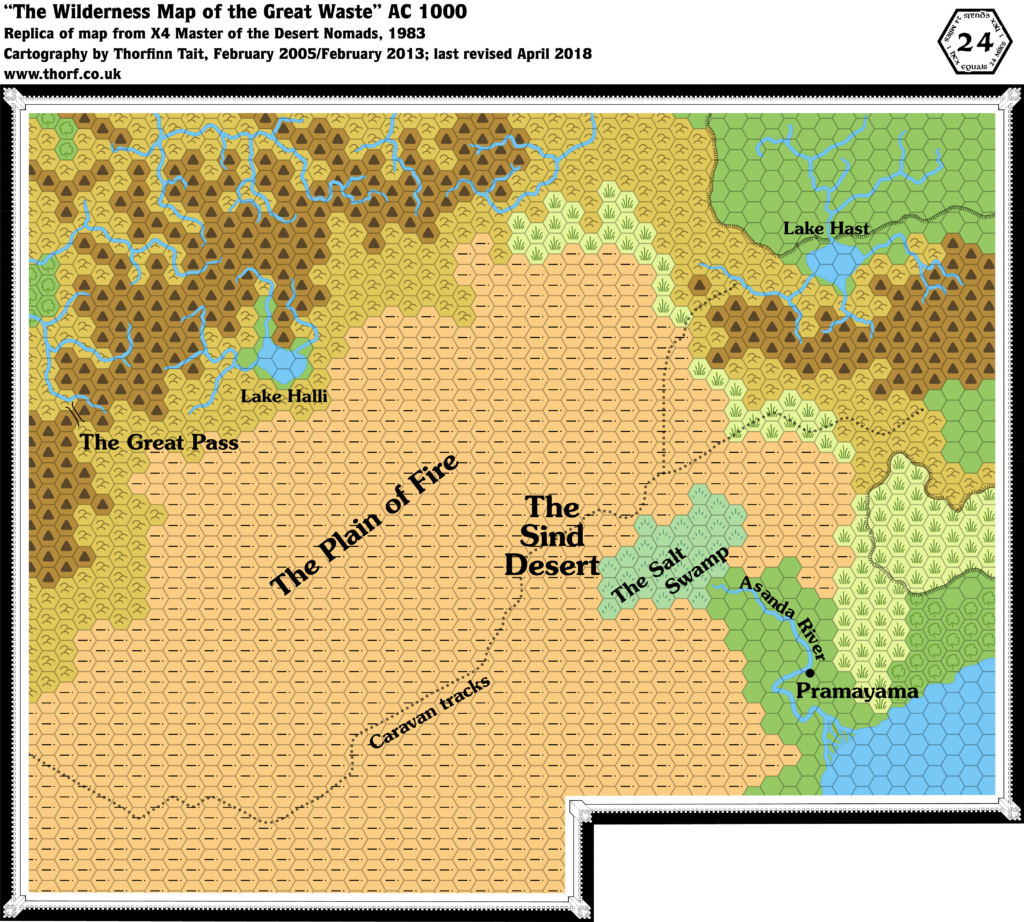
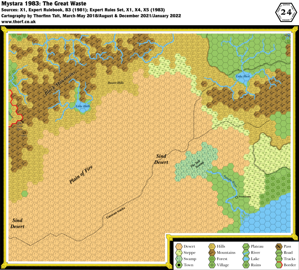
The other changes to the map since the previous year were a new road leading into the region from the east, linking up with the existing trail through the hills and across the Sind Desert, and western borders for Atruaghin and Glantri — all from X10.
Chronological Map (January 2022)
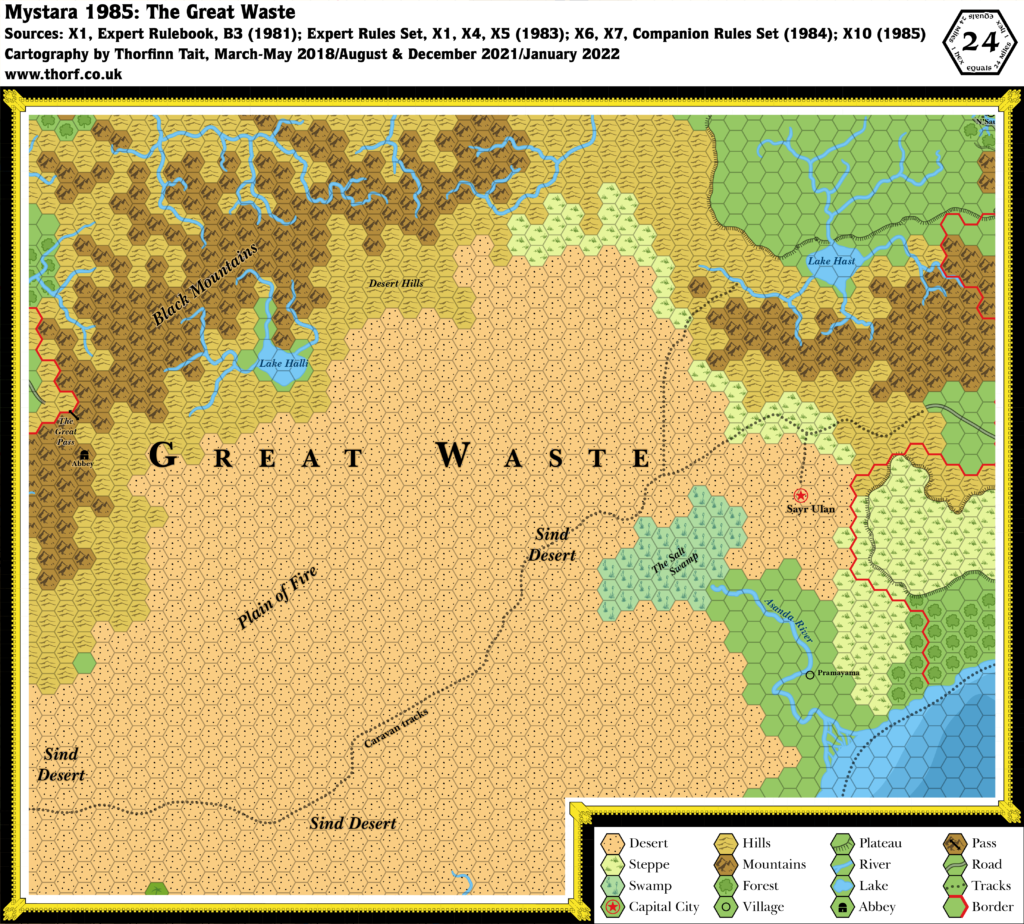
This map is part of the Mystara 1985 series of chronological maps. It is an updated map, incorporating all available sources and made internally consistent with other maps in its series. But it only uses sources published in or before 1985.
For more information, see Appendix C: Cartographic Chronology.
Sources
- Mystara 1984
- Master Rules Set (1985) (PDF at DriveThruRPG)
- X10 Red Arrow, Black Shield (1985) (PDF at DriveThruRPG)
Revisions
For detailed notes, see the posts for each individual source map at the links above.
References
- Let’s Map Mystara 1985 — the original project thread for this map
- Let’s Map Mystara Together discussion thread at The Piazza (link leads to this map’s post)
- Central Brun, Adri Varma Plateau, Black Mountains, The Plain of Fire and The Sind Desert, and Sind at the Vaults of Pandius

