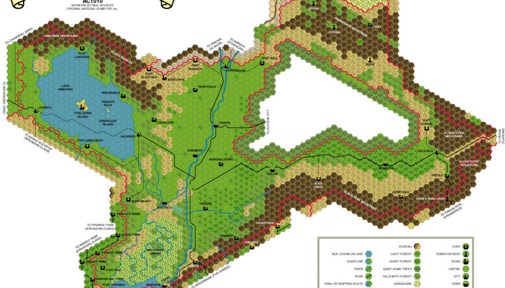
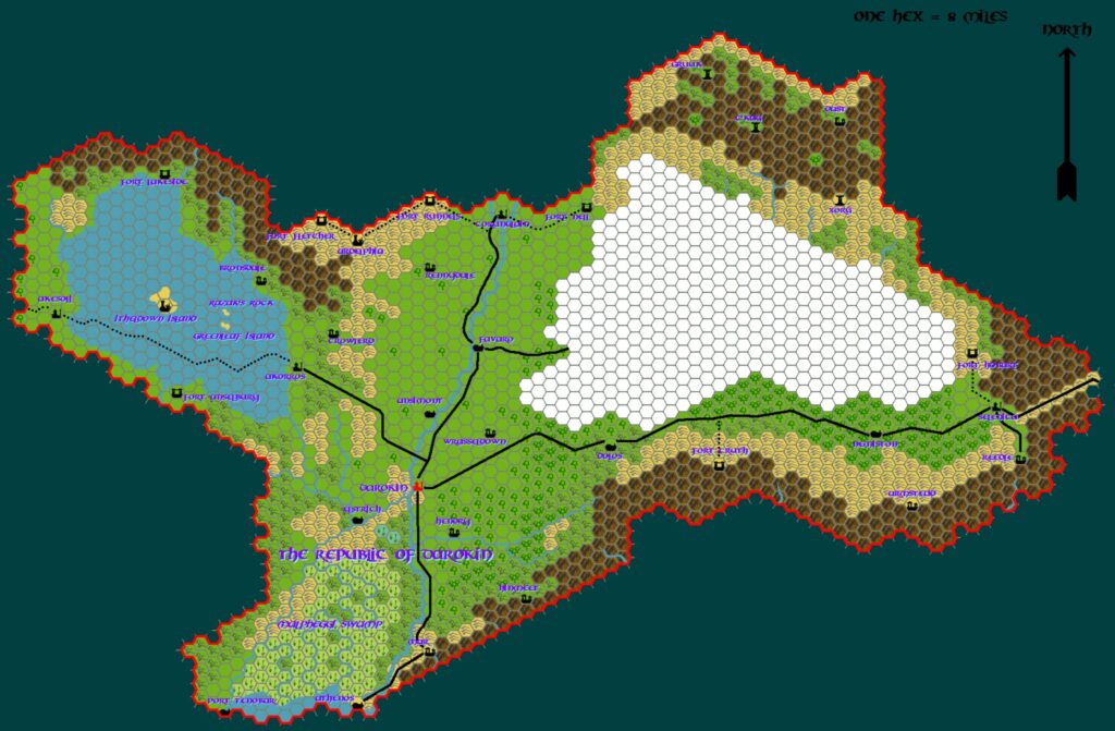
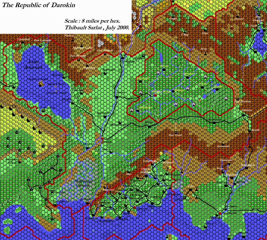
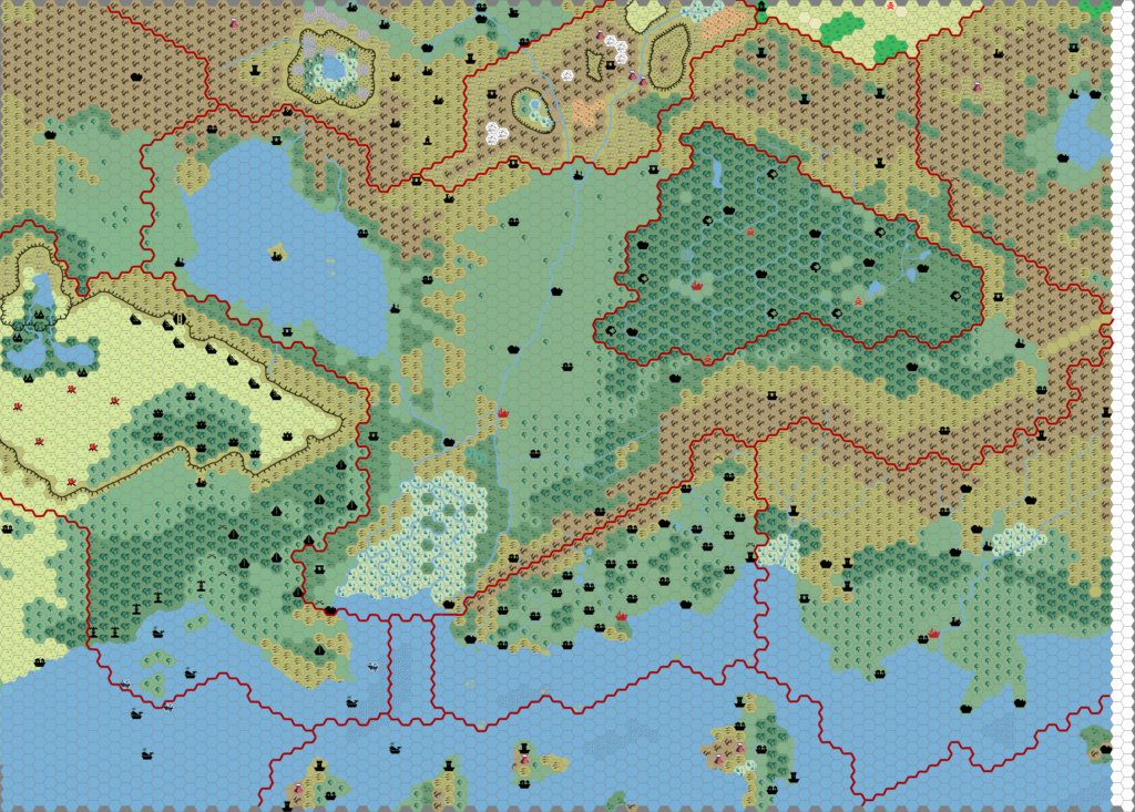
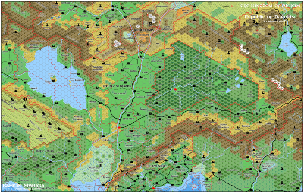
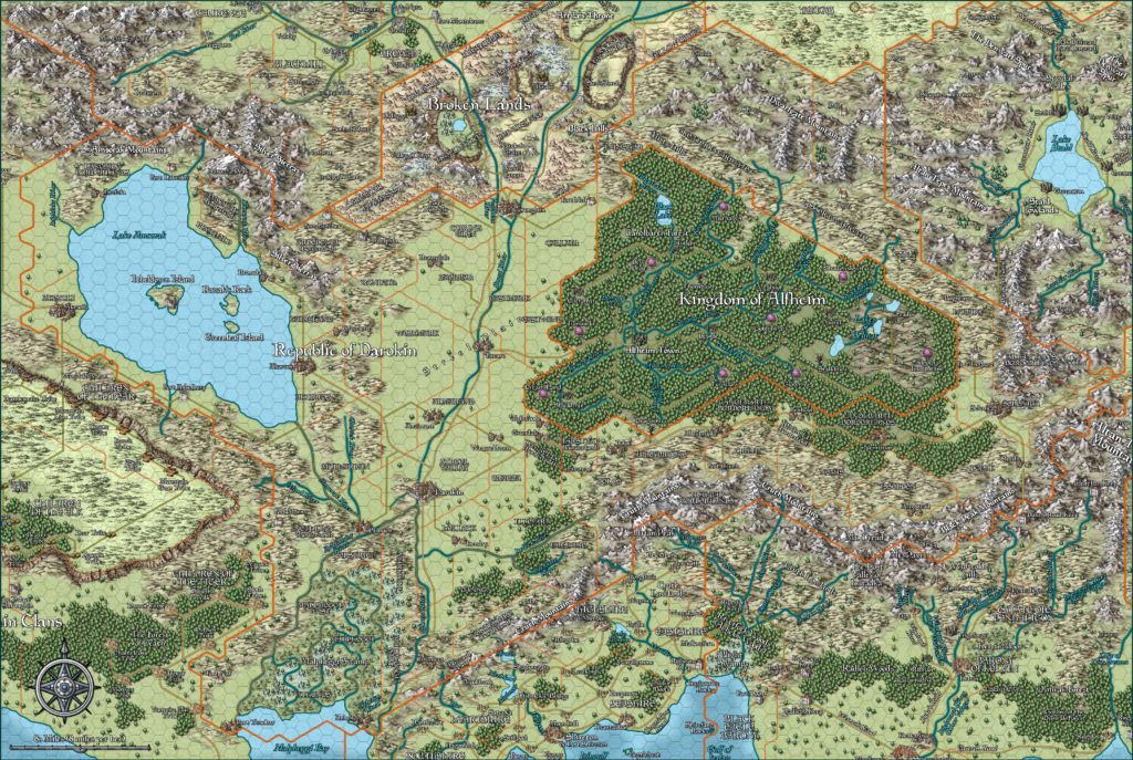
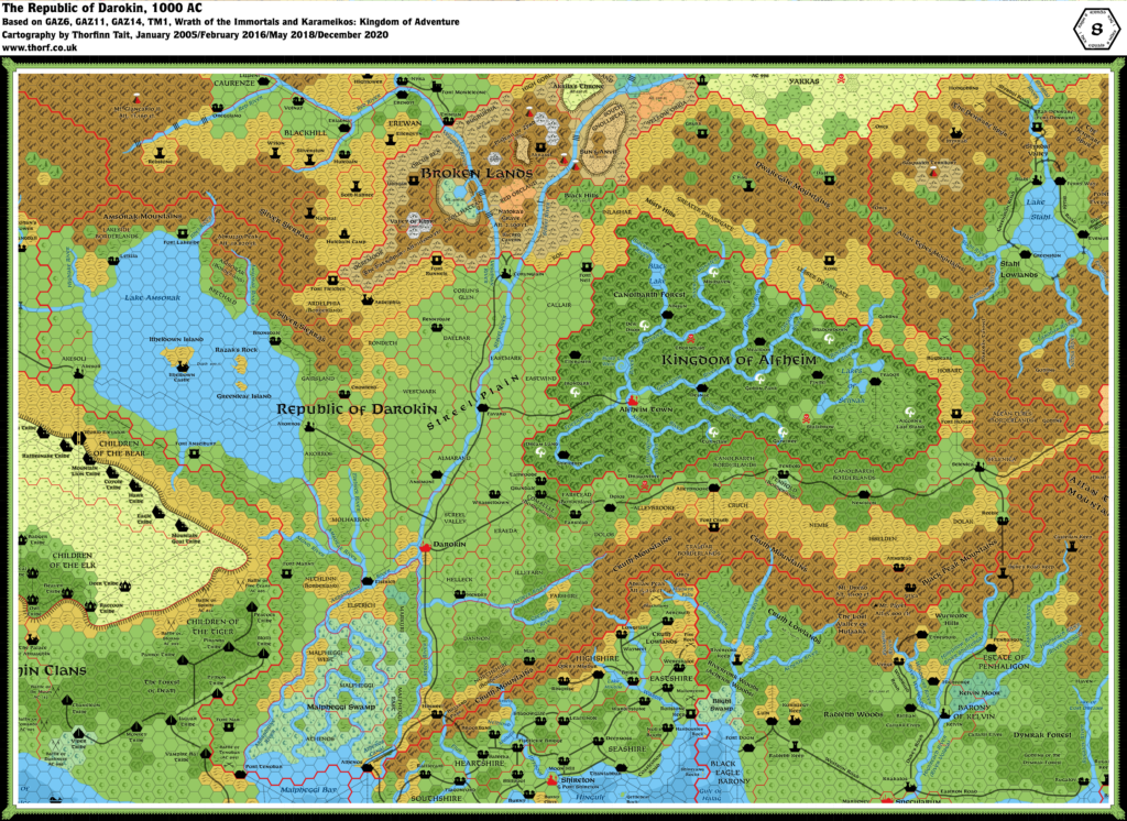
Hoddie’s Darokin, 8 miles per hex
Paul “Hoddie” Holroyd created a trio of maps in late 1999, posting them to his own web site and mentioning them on the Mystara Mailing List (MML). He created them using Adobe Illustrator, and his results were revolutionary for digital maps of the time. Especially, his use of muted colours rather than the VGA-monitor style super-saturated graphics common back then really stood out.
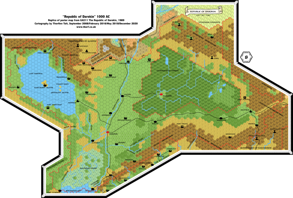
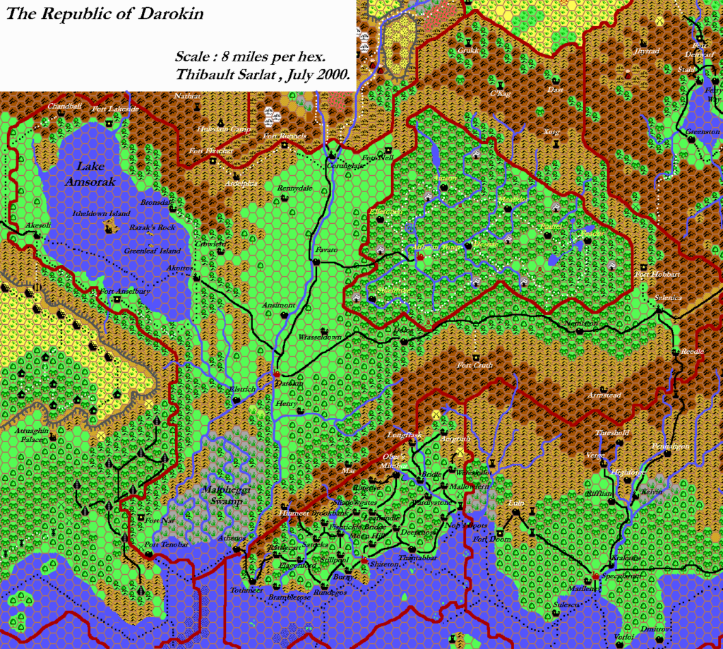
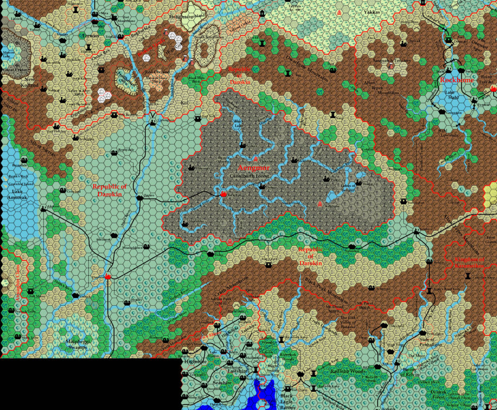
Perhaps due to the attractiveness of his maps, Paul’s work has been reused repeatedly by the community over the years, most notably as a base on which to mark historical versions of Darokin.
Two fun pieces of trivia about this map: the symbol for Darokin City failed to export, and is entirely missing from the map — and even the key. And although the map was labelled AC 1010, in fact it was supposed to be AC 1000 — a fact Paul noted on the MML at the time.
Fan-made Map by Paul Holroyd (August 1999)
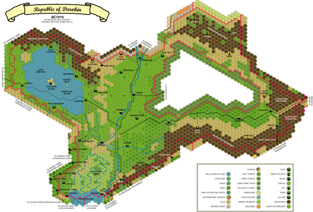
This is an original map created by one of Mystara’s excellent fan cartographers. For more information on the cartographer, including a gallery of all their maps, see also Appendix M: Mappers of Mystara.
Sources
- GAZ11 The Republic of Darokin (1989) (PDF at DriveThruRPG)
References
- All of Paul’s maps at the Atlas of Mystara
- Paul’s entry in Appendix M: Mappers of Mystara
- Paul’s author page at the Vaults of Pandius
Chronological Analysis
This is a fan-made map. It was published in August 1999. See Darokin, 8 miles per hex for the updated Atlas version of this map. See also Appendix C for annual chronological snapshots of the area. For the full context of this map in Mystara’s publication history, see the upcoming Let’s Map Mystara 1999.
The following lists are from the Let’s Map Mystara project. Additions are new features, introduced in this map. Revisions are changes to previously-introduced features. Hex Art & Fonts track design elements. Finally, Textual Additions are potential features found in the related text. In most cases, the Atlas adopts these textual additions into updated and chronological maps.
Coming Soon

