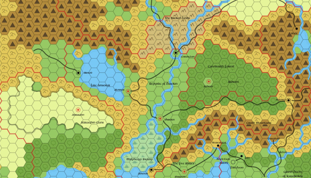
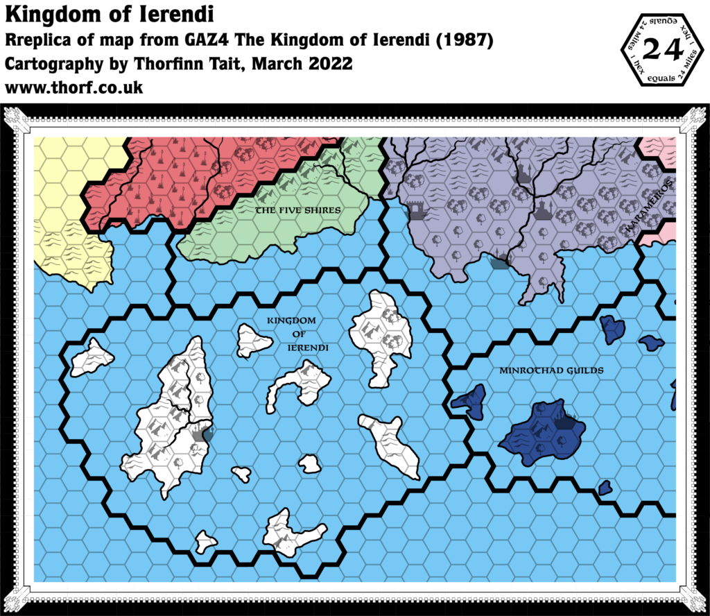
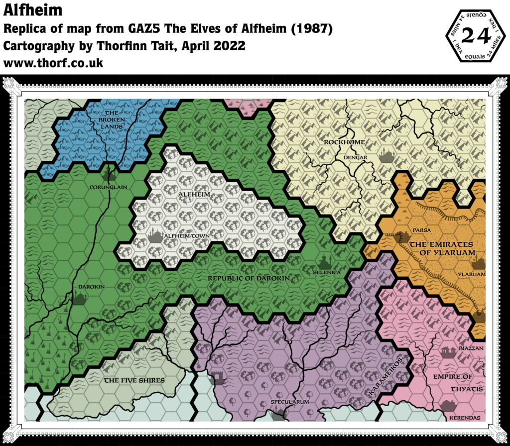
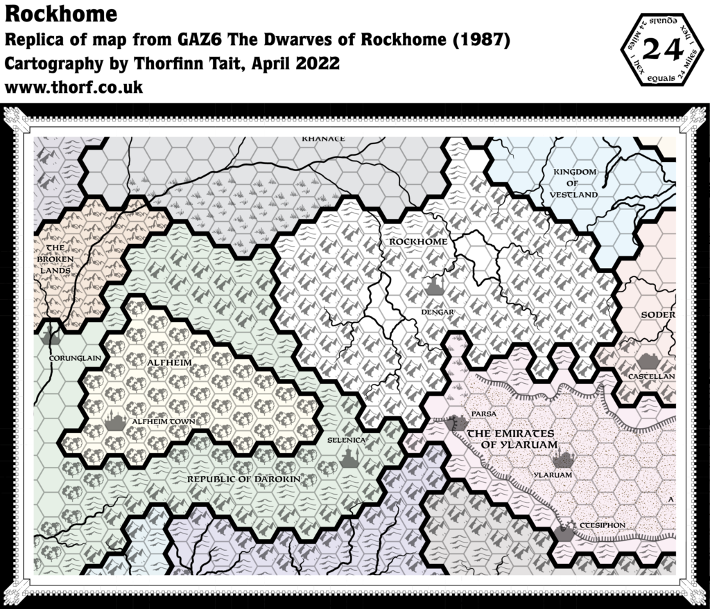
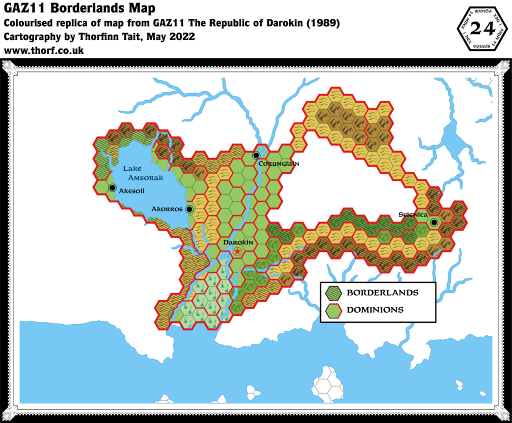
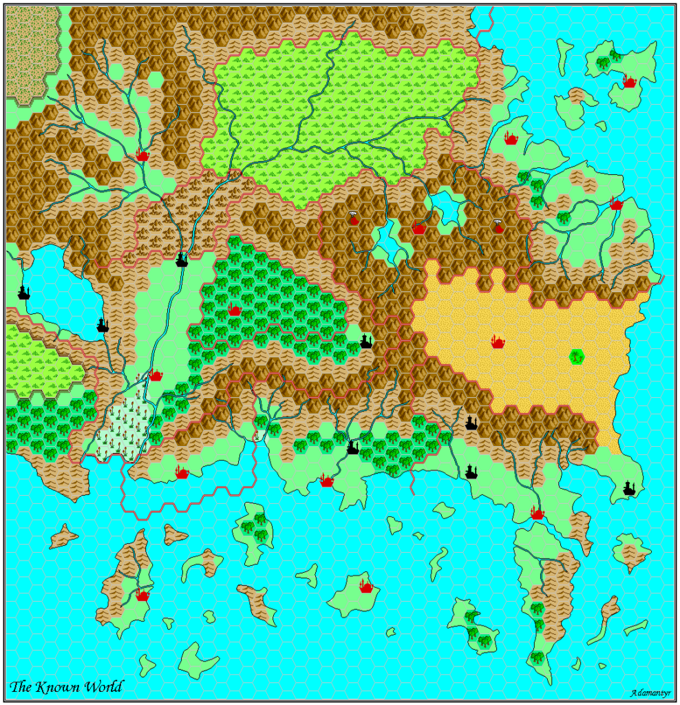
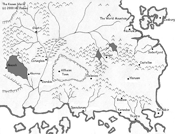
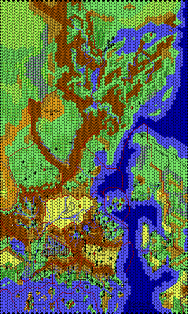
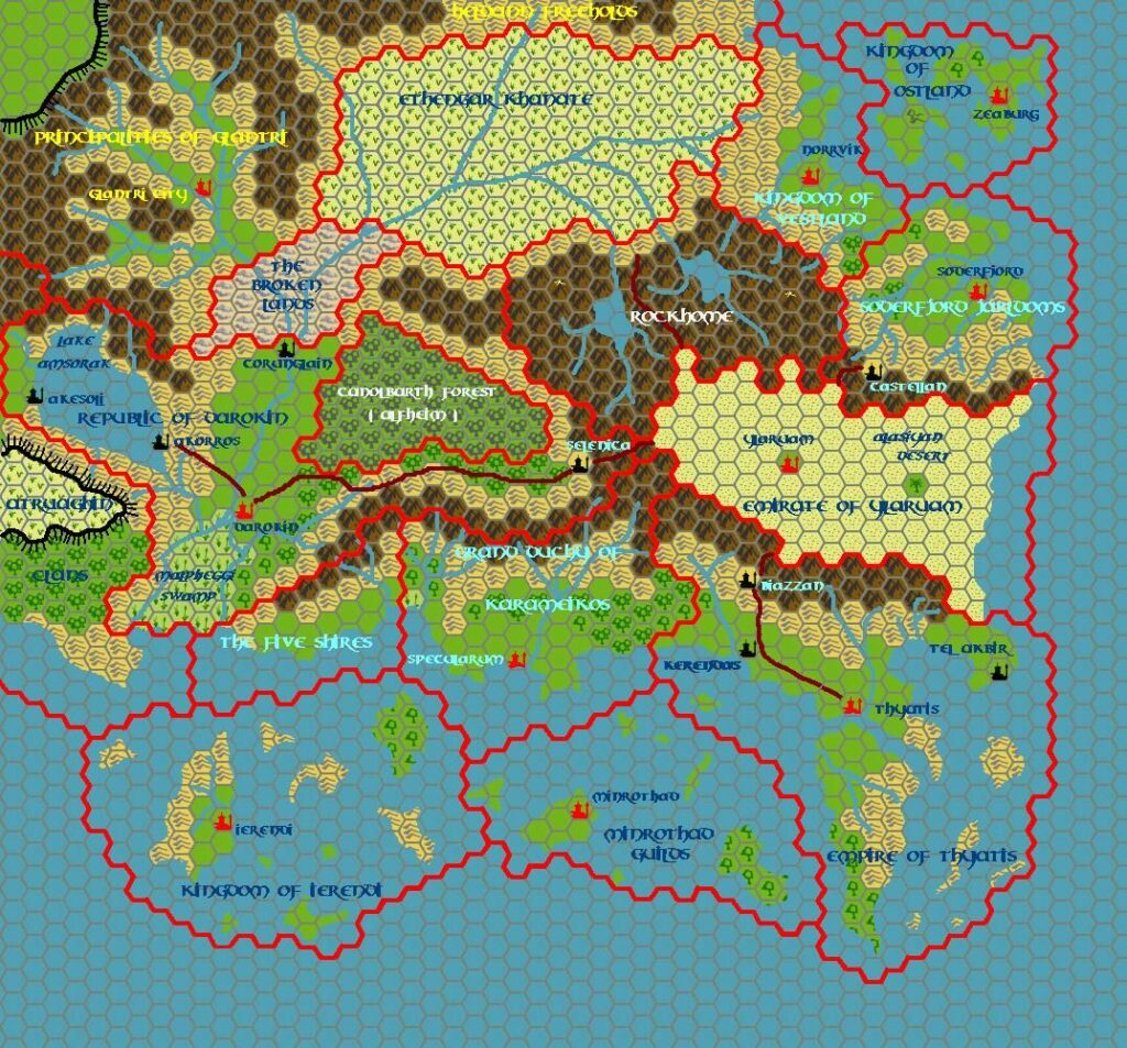
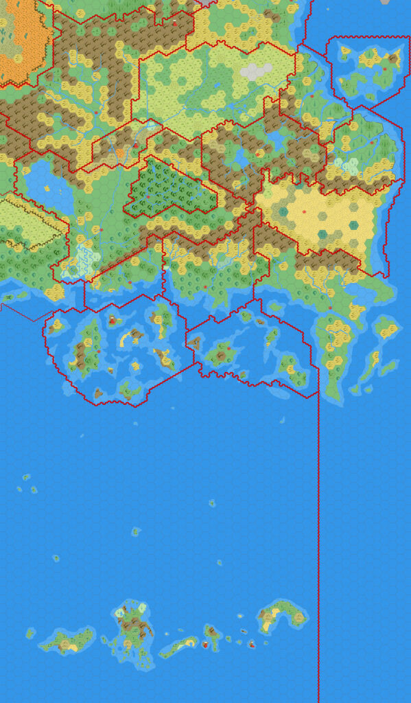
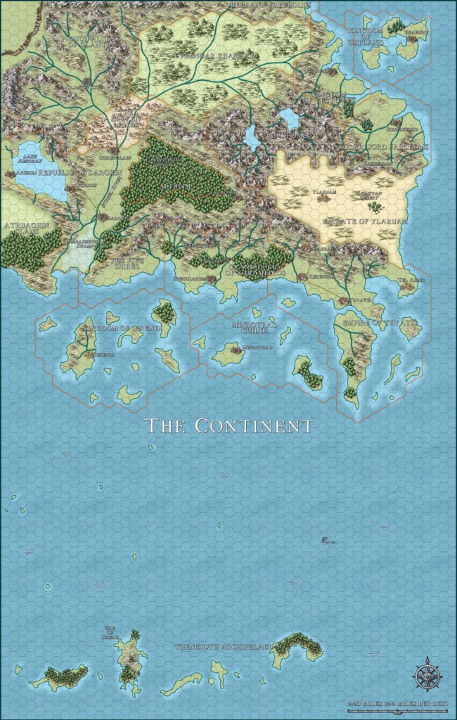
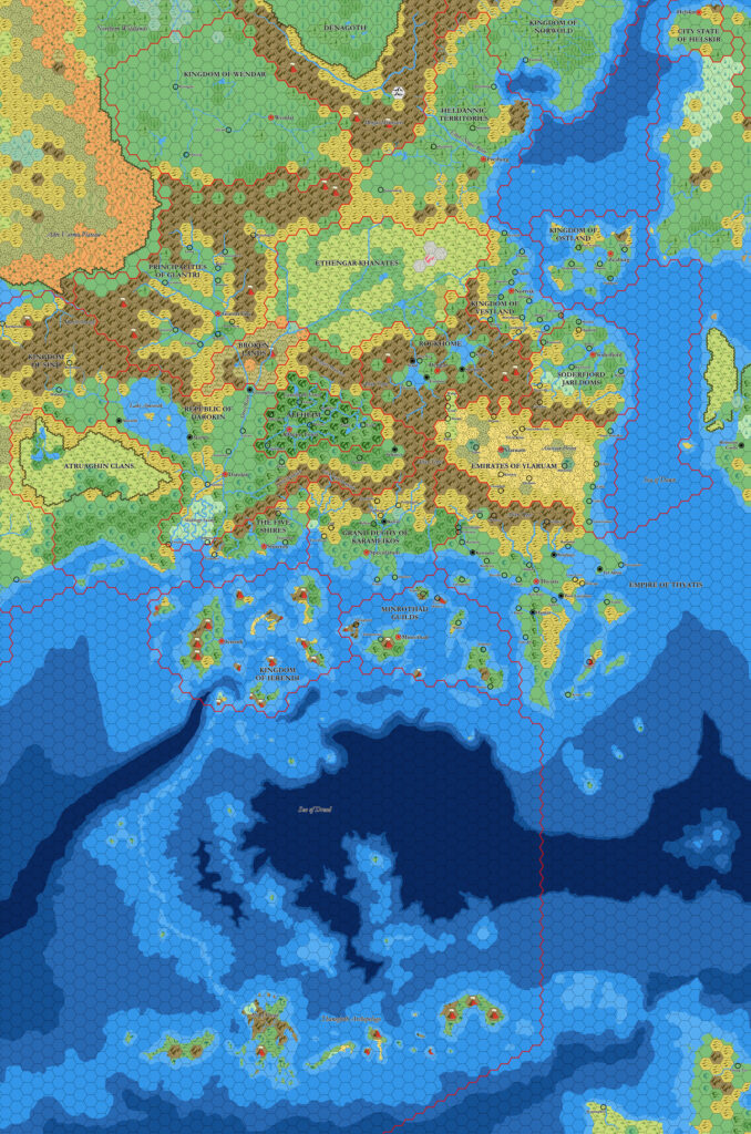
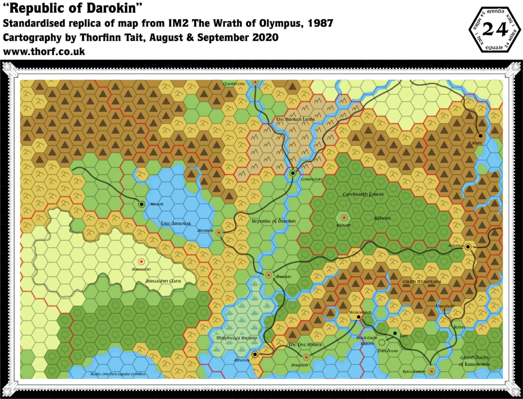
IM2 Known World, 24 miles per hex
There were only three published Immortal-level adventures, and their field of play was somewhat beyond the Known World; IM1 famously took PC Immortals to TSR Headquarters in 1980s Chicago. IM2 was more down to earth, including a portion set in Darokin, which is where this map comes in. It’s a peculiar map in some ways, because it used a slightly different variation on the usual art and typefaces of the time. If it has a point of note, it’s probably that it shows the whole Atruaghin Plateau, but it was beaten to the mark on this by X10 two years previously.
Replica Map (September 2020)
Sources
- IM2 Wrath of Olympus (1987) (PDF at DriveThruRPG)
- “Republic of Darokin”, inside cover (Cartography by Dennis Kauth, Dave LaForce, Dave Sutherland, Diane Sutherland)
Chronological Analysis
This is Map 53. It was published in February 1987. The updated version of this map has not yet been released. See also Appendix C for annual chronological snapshots of the area. For the full context of this map in Mystara’s publication history, see the upcoming Let’s Map Mystara 1987.
The following lists are from the Let’s Map Mystara project. Additions are new features, introduced in this map. Revisions are changes to previously-introduced features. Hex Art & Fonts track design elements. Finally, Textual Additions are potential features found in the related text. In most cases, the Atlas adopts these textual additions into updated and chronological maps.
Additions
Nothing in particular.
Revisions
- Borders — Other than two hexes between Glantri and Darokin, borders conform to Mystara 1986’s configuration.
- Rivers — The rivers throughout the region have been changed to conform to the hex grid, following the edges of hexes. Additionally, a lot of rivers have been left out. For example, almost none of the rivers around Lake Amsorak are present. Finally, the rivers of western Karameikos have been merged with those of the neighbouring Five Shires.
- Settlements — Akorros is marked as a capital, despite clearly being within the territory of Darokin. Athenos has been upgraded from town to city, while Luln has been downgraded from town to village. Fort Doom has changed from castle to town. Threshold and Kelvin are entirely missing their icons, though their labels are present.
- Terrain — A few hexes are different from previous maps. Mostly these feel like omissions, such as the lack of the swamp hex next to the Black Eagle Barony.
Hex Art & Fonts
- Symbols — This map has its own unique set of hex symbols, characterised by an old-style mountain symbol that is rather spikier than usual.
- Fonts — Libra BT throughout.

Textual Additions (IM2, 1987)
- Immortals — A whole host of Immortals make their debut in this module. Each is assumed to have their own Home Plane.
- Newly mentioned Immortals by Sphere are as follows:
- Sphere of Matter: Land (IM2 page 12a), Lokena (aka “Athena”, IM2 page 9b), Paarkum (IM2 page 30), Urtson (IM2 page 12a).
- Sphere of Energy: Iliric (IM2 page 29), Lornasen (IM2 page 30). Also “Aphrodite”, “Ares” and “Hera” (real names unknown, IM2 page 23).
- Sphere of Time: Finidel (IM2 page 19), Fugit (Home Plane Tempus, IM2 page 15a, 31c). Also “Zeus” (real name unknown, IM2 page 23).
- Sphere of Thought: Arnelee (IM2 page 20), Tourlain (IM2 page 20). Also “Hermes” and “Apollo” (real names unknown, IM2 page 23).
- Sphere of Entropy: Brissard (IM2 page 23), Talitha (IM2 page 2a).
- Previously named Immortals also appear, including two Hierarchs. IM2 refers to them as Night and Terra. They were previously referred to as Nyx and Djaea, though all these names were present in Immortals.
- Of the newly introduced Immortals, Land poses a bit of a quandary: he is an Earth Elemental. As such, would he have his own Home Plane? I’m going to assume that he would, even if he spent all his time in the Plane of Earth.
- Most of the “Olympians” were not given real names in the text.
- Newly mentioned Immortals by Sphere are as follows:
- Planes — This Immortal adventure includes a number of new planes:
- Kryla, an Outer Plane, accessible only through another Outer Plane, Rylum. Kryla includes the planet of Coriopt. (Page 2.) “It is a trispace, and magic simply does not work.” The connection between Kryla and Rylum is some form of gate. (Both page 3.)
- Rylum, an Outer Plane, connected to three other planes: the Astral Plane, Kryla, and Pyts. (Page 2.) “Rylum is tetraspatial”, which means Immortal magic does not work, though mortal magic functions as normal. (Page 3.) “Viewed from the Astral Plane, Rylum is a large, pinkish bubble, indicating that its dominant element is Fire.” The planet Simoom is in the Plane of Rylum. It also has a sun, “a huge ball of fire: very close, very bright, and very hot.” It is inhabited by a race called the Isiidi, who are organised into a “Confederacy, though relations between the states are as fiery as the planet.” Water is very scarce on Simoom, and states guard their wells. Only the state of Pyros enjoys unlimited water. Aside from the Isiidi, red dragons, helions, and fire elementals can be found on Simoom. (All page 4.) The gates connecting to other planes from Rylum appear as doors, with grey leading to Pyts, (light) brown leading to Kryla, and silver leading to the Astral Plane. (Pages 6 and 8.)
- Home Plane of Terra, the Hierarch of the Sphere of Matter. Another Outer Plane. (Page 3.)
- Tempus, an Outer Plane, Home Plane of Fugit of the Sphere of Thought (IM2 pages 3, 15a).
- Pyts, an Outer Plane that is “adjacent to both Rylum and Kryla”. It is “a very nasty place”. (Page 4.) “This plane is of the Sphere of Entropy”, and it “is a pentaspace”. (Page 8.)
- Settlements — Both X10’s map and IM2’s changed the rivers so that they conform to the hex grid. One major change caused by this was the relocation of Corunglain, which up until that point had been depicted as being to the west of the river fork; now, it appeared between the two rivers, nestled in the fork. IM2 adds the force of text to this configuration, noting that Corunglain was situated “between the forks of the Streel” (page 35).
- Terrain — Hex #3410 (as marked on X10’s map) contains a mountain named Calor’s Hump, upon which Balthac’s Cairn sits. The peak is “perhaps 5,000 feet above the tree line.” (Pages 34 and 36.) Balthac’s Cairn itself seems too small to permanently mark at this scale, though perhaps it could later be marked at 8 miles per hex. Sinan’s Oak “lies some 70 miles southeast of Calor’s Hump”, presumably in Hex #3914, although the hex number is not given. (Page 37.) Ascalon’s Tomb, north of Lake Amsorak, is in a similar situation. It is located in Hex #1811, also on a mountain peak, although this one is unnamed. (Pages 36 and 38.) For now, all of these have been added to the map with Ruin symbols, although later they may be shifted to larger scale maps as they become available.

