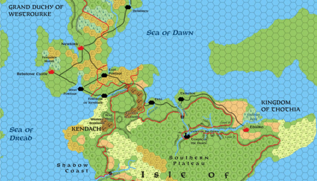
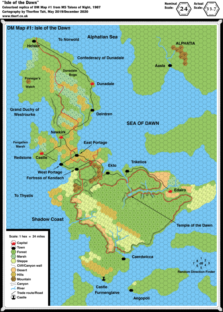
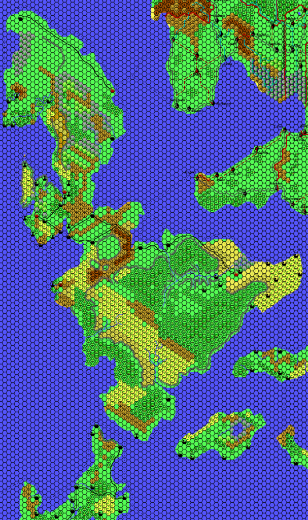
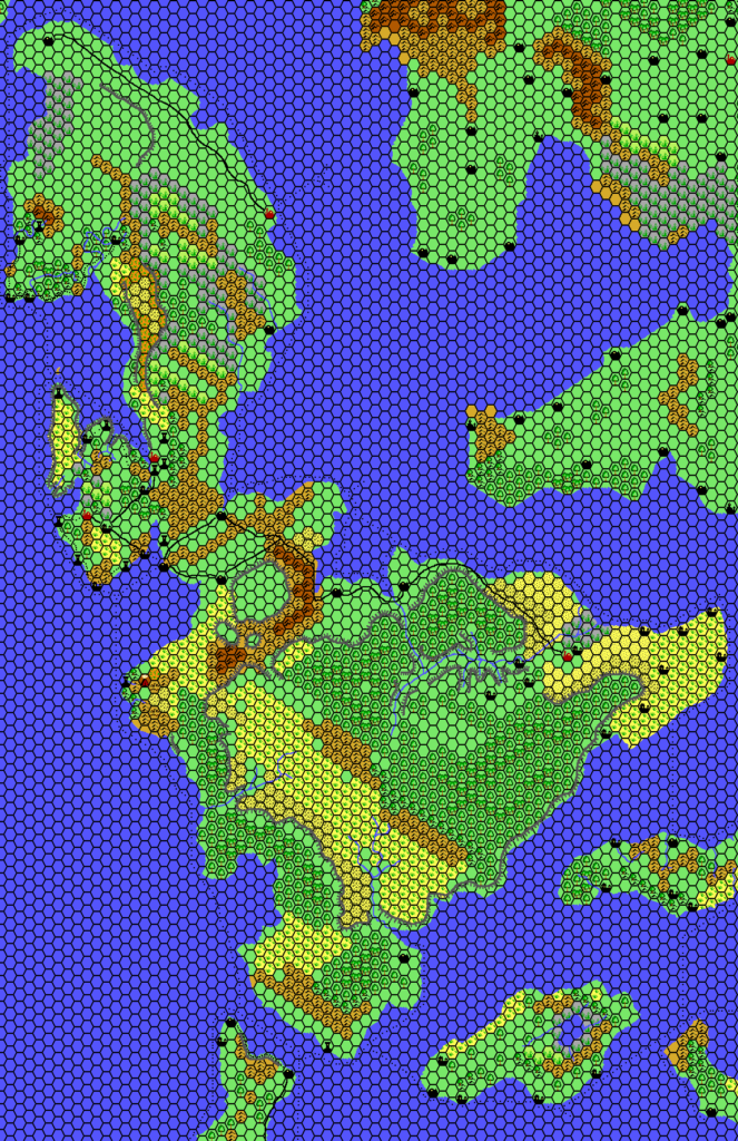
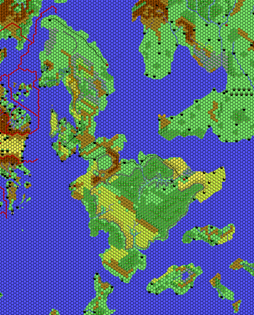
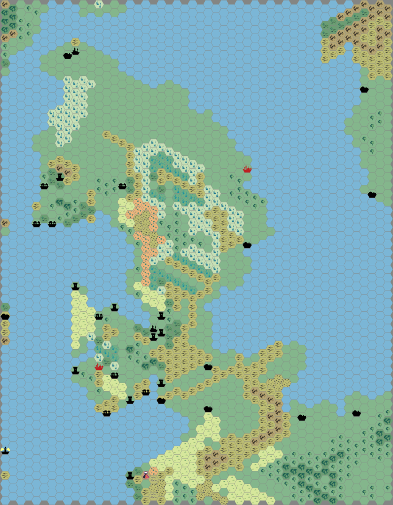
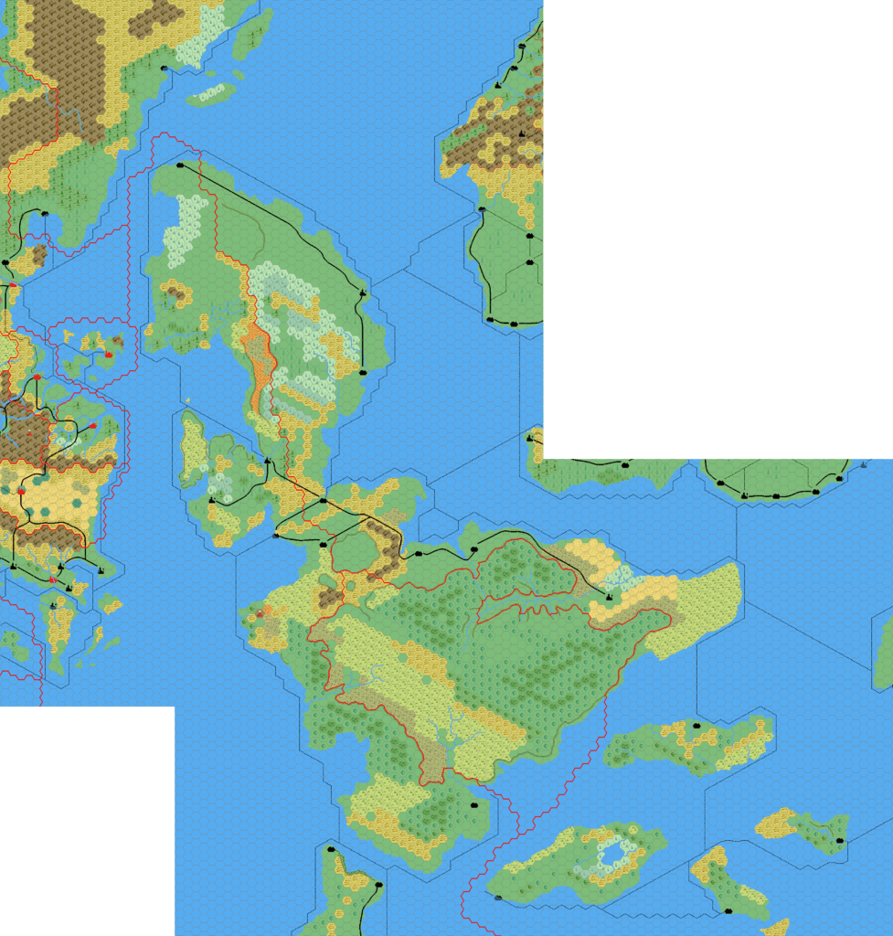
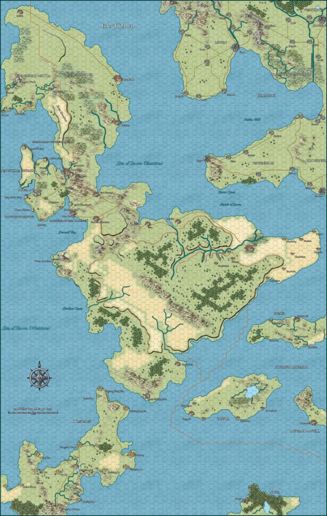
Isle of Dawn, 33.7 miles per hex (1987)
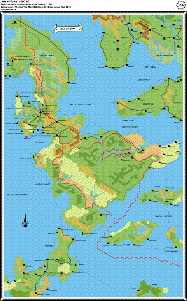
The Isle of Dawn had been present since 1984’s continental map, but it wasn’t properly developed until M5 in 1987. It wasn’t all plain sailing, though, as the marked 24 mile per hex scale was in fact almost a third smaller — 33.7 miles per hex by my calculations. Using this interpretation, the isle fits snugly in its allotted space, which is rather constrained since it has the Known World directly to the west, Norwold to the north, Alphatia to the northeast, the Alatians to the southeast, and Ochalea and the Pearl Islands to the south and southwest. In other words, there is precious little wiggle room here, making a rescaling unavoidable.
The map is also rotated differently, at something like 4.4º clockwise compared to the world map. (In comparison, Brun is 2.68º clockwise from the world map.)
The original missed out slivers of Norwold and parts of the Known World on the western edge of the map. I have restored these using the latest coastlines from Mystara 1986.
Finally, M5 included extensive notes on the map, allowing quite a number of extra details to be marked — mostly in and around the central area.
Chronological Map (April 2022)
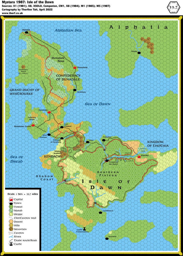
This map is part of the Mystara 1987 series of chronological maps. It is an updated map, incorporating all available sources and made internally consistent with other maps in its series. But it only uses sources published in or before 1987.
For more information, see Appendix C: Cartographic Chronology.
Sources
- Mystara 1986
- M5 Talons of Night (1987) (PDF at DriveThruRPG)
Revisions
For detailed notes, see the posts for each individual source map at the links above.
- Borders — Kendach’s southern border is defined as being the Great Skull River. Though that river is not marked, it seems reasonable to assume it’s the river flowing west from the Southern Plateau.
- Coastlines — The coasts of the surrounding lands to the west and north have been added. With the new shape for the northern Isle of Dawn, Ostland appears closer than ever.
- Roads & Trails — Conformed to the shifted settlements.
- Settlements — The original map in M5 had all its settlements offset from the hex grid, to varying extents but mostly by about half a hex to the southeast. I have conformed all settlements to the hex grid, moving them all to the northwest in the process. The furthest out of sync was Helskir, but moving it to the northeast makes sense considering its location in previous maps.
References
- Let’s Map Mystara 1987 — the original project thread for this map
- Let’s Map Mystara Together discussion thread at The Piazza (link leads to this map’s post)
- Isle of Dawn at the Vaults of Pandius
Thanks to:
Mark Howard.

