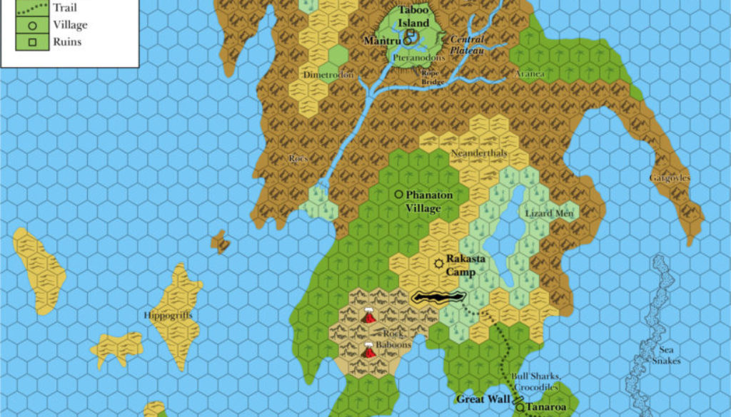
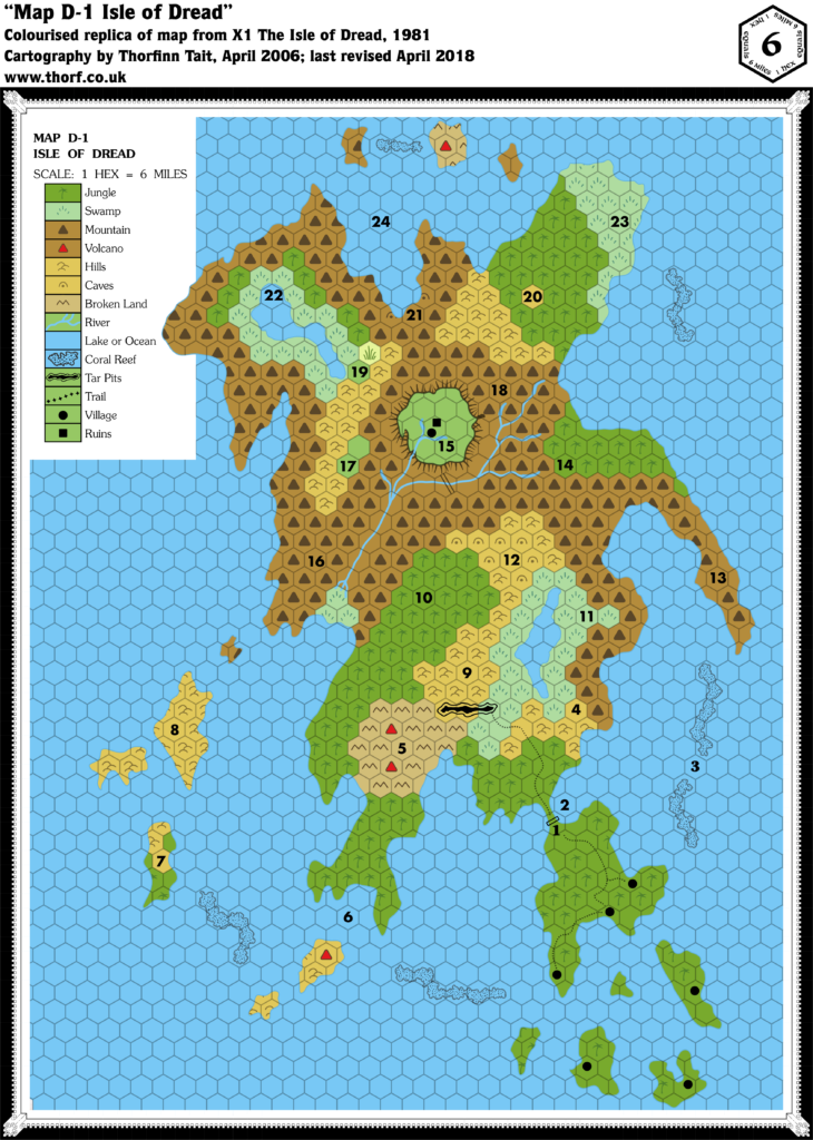
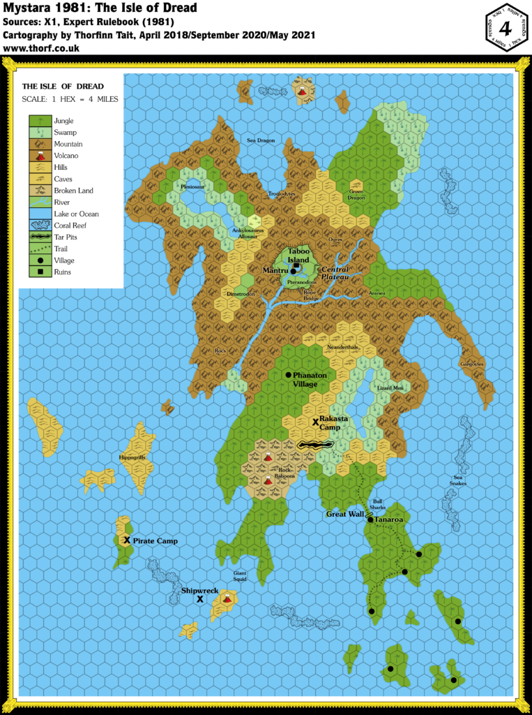
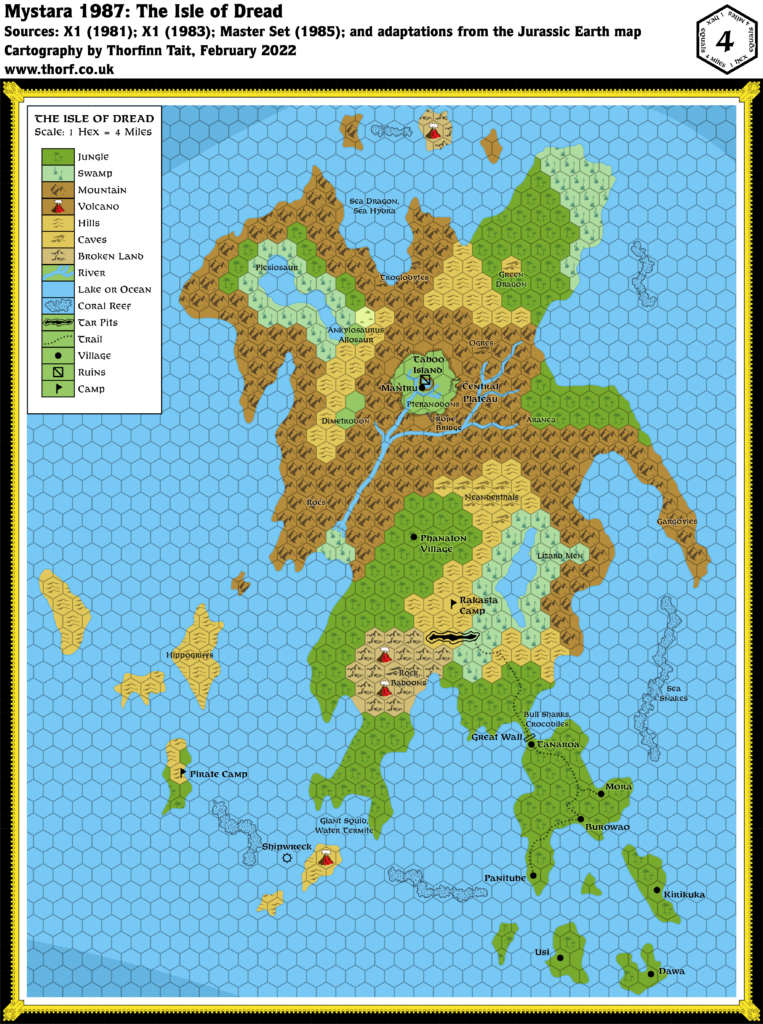
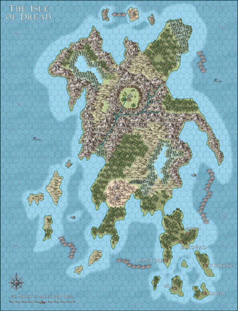
Isle of Dread, 4 miles per hex (1985)
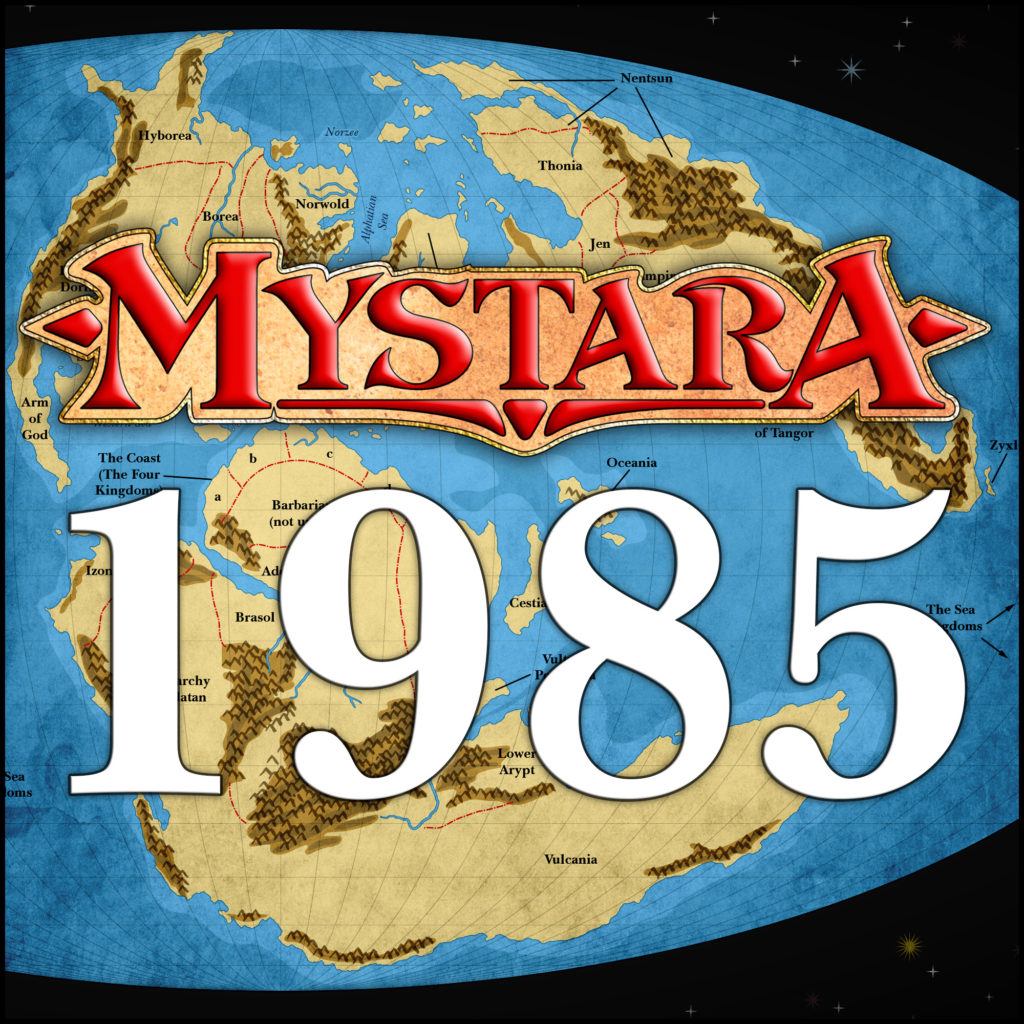
While 1984’s X7 added sea depths for much of the Sea of Dread, it didn’t include the Thanegioth Archipelago, so this map went unchanged. 1985’s reveal of the world map, and its associated inspiration in the Jurassic Earth map, changed this, providing a reference for adding depths across the world map. In fact, the Thanegioth Archipelago does not appear on the Jurassic map at all; the Known World corner of Brun is the part of Mystara that bears the least resemblance to it. The area corresponding to the Sea of Dread is marked as deep water, outside the continental shelves, so we can deduce that the archipelago is on its own little shelf. Thus, I have simply drawn a shallow area around the whole archipelago, which will serve us until later sources provide more detailed depths.
Chronological Map (February 2022)
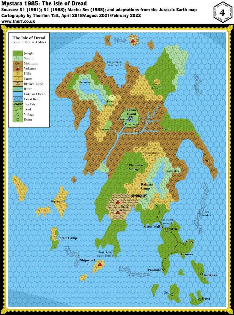
This map is part of the Mystara 1985 series of chronological maps. It is an updated map, incorporating all available sources and made internally consistent with other maps in its series. But it only uses sources published in or before 1985.
For more information, see Appendix C: Cartographic Chronology.
Sources
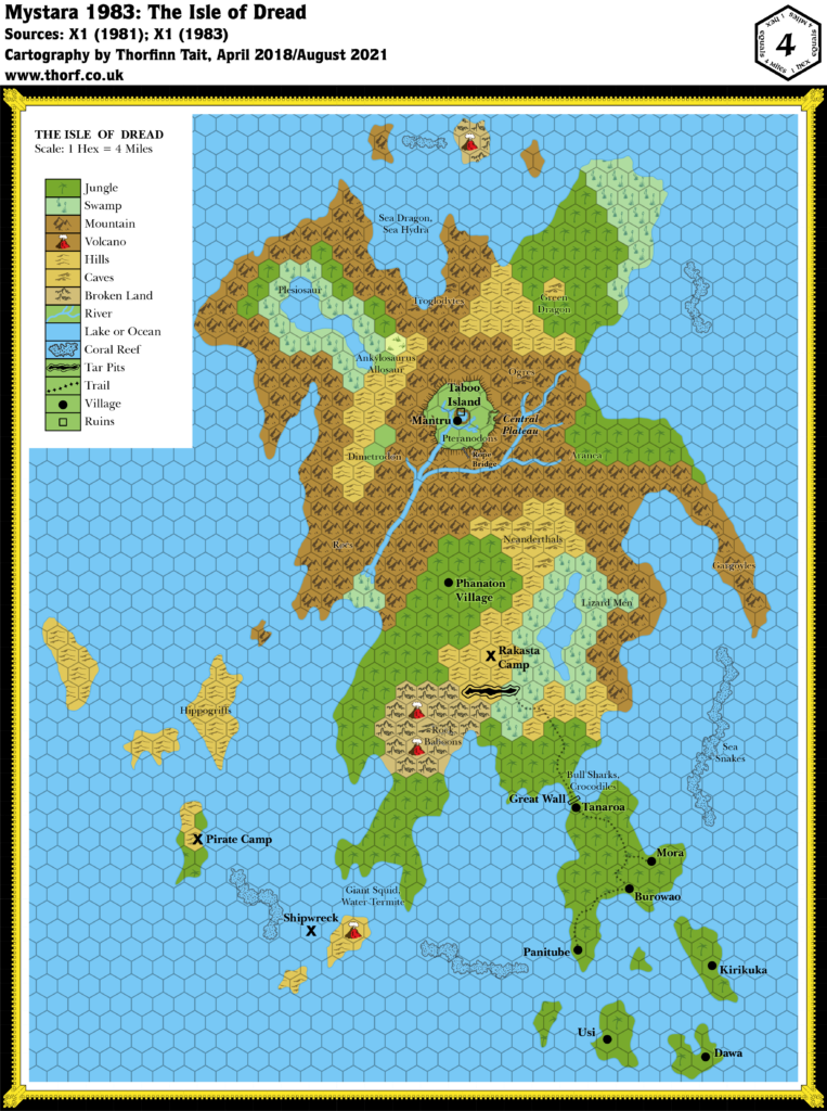
- Mystara 1983
- Master Rules Set (1985) (PDF at DriveThruRPG)
Revisions
For detailed notes, see the posts for each individual source map at the links above.
- Depths — these have been deduced with reference to the Jurassic Earth map.
References
- Let’s Map Mystara 1985 — the original project thread for this map
- Let’s Map Mystara Together discussion thread at The Piazza (link leads to this map’s post)
- The Sea of Dread and the Thanegioth Archipelago at the Vaults of Pandius

