JTR’s Denagoth, 8 miles per hex
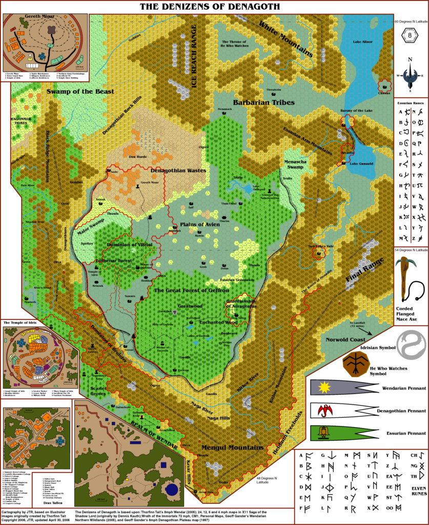
In 2006, JTR began an ambitious and indeed long-awaited fan project: a series of fan-made gazetteers covering areas of the world that were left undeveloped by official products. The first of these was Gaz F1 The Realm of Wendar, which used (an earlier version of) the Atlas of Mystara map of Wendar. Gaz F2 The Denizens of Denagoth swiftly followed, and it included the first of JTR’s new series of maps.
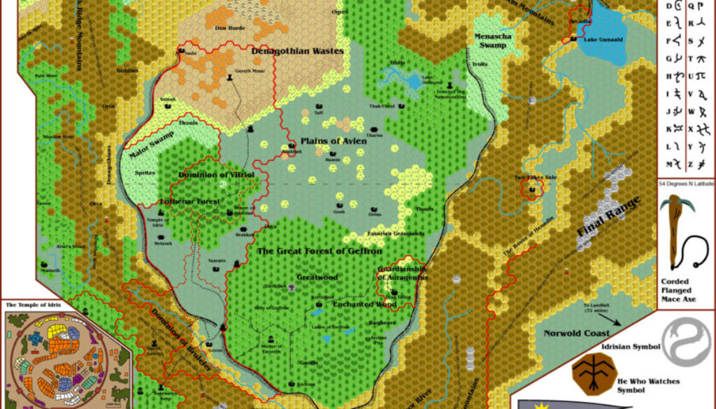
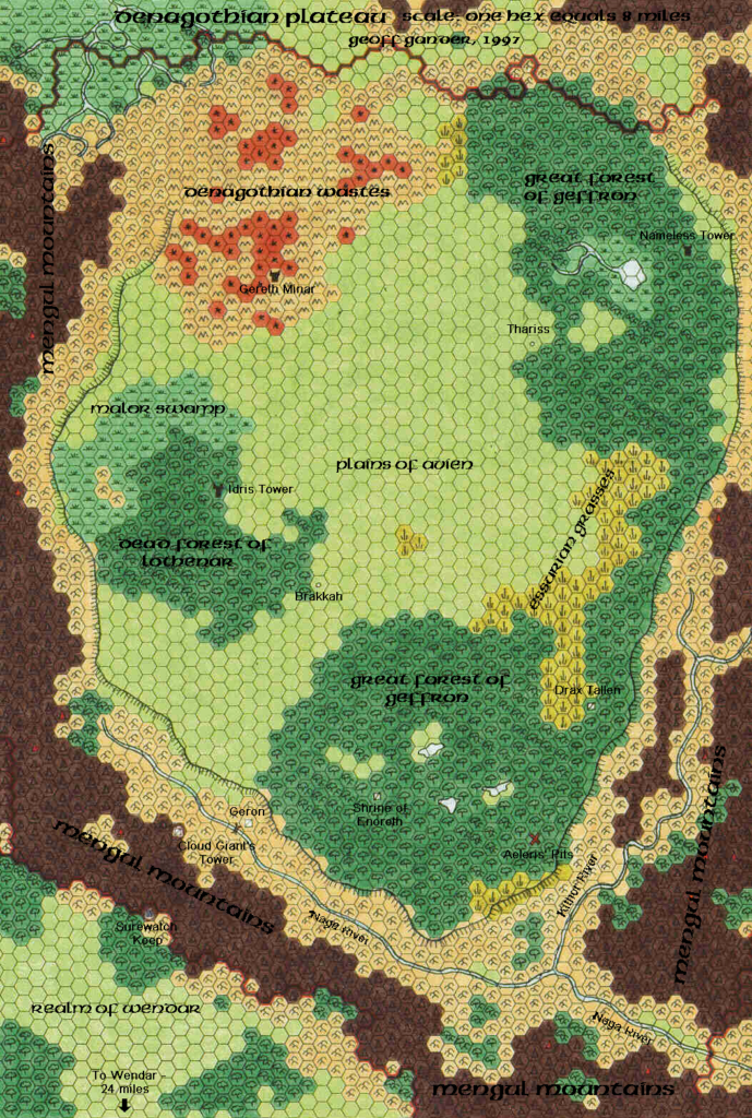
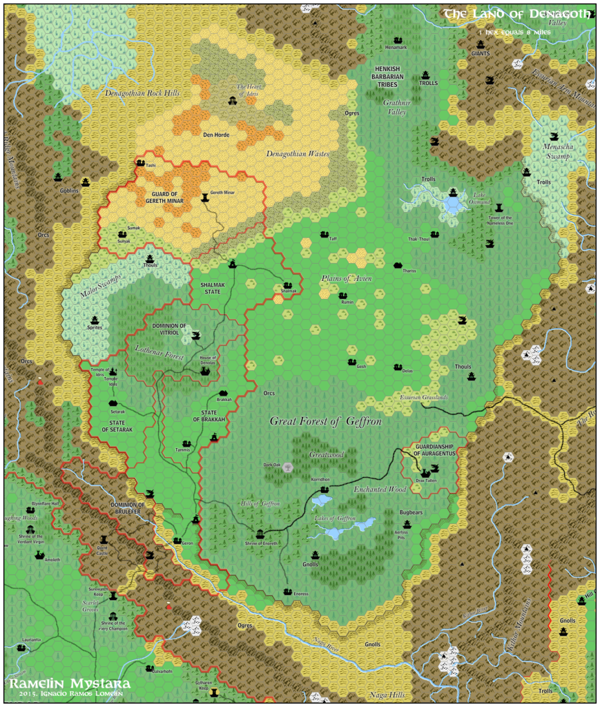
With his Denagoth map, JTR not only further developed Geoff’s Denagoth, 8 miles per hex map from 1997, but also reconciled the Norwold Conundrum, mixing X11’s map with CM1’s to produce an acceptable solution featuring the best parts of both maps.
He used an earlier version of the Atlas mapping symbols, mixed with some new inventions of his own. Then he added various extras such as town maps, illustrations, heraldry and so on around the edges of the map. Much to my joy, he also meticulously documented his sources, which are listed below the main map. You can read an even more detailed explanation of the map’s genesis over at the Vaults of Pandius.
Fan-made Map by JTR (April 2006)

This is an original map created by one of Mystara’s excellent fan cartographers. For more information on the cartographer, including a gallery of all their maps, see also Appendix M: Mappers of Mystara.
Sources
- X11 Saga of the Shadow Lord (1986) (PDF at DriveThruRPG)
- CM1 Test of the Warlords (1984) (PDF at DriveThruRPG)
- Wrath of the Immortals (1992) (PDF at DriveThruRPG)
Fan Sources
- Geoff’s Denagoth, 8 miles per hex (December 1997)
- Atlas of Mystara (2005-)
- Wendar, 8 miles per hex (though note that the source was an earlier version)
- Geoff’s Northern Wildlands, 8 miles per hex (November 2005)
- Gaz F2 The Denizens of Denagoth (30 April 2006)
References
- All of JTR’s maps at the Atlas of Mystara
- JTR’s entry in Appendix M: Mappers of Mystara (upcoming)
- JTR’s author page at the Vaults of Pandius
Chronological Analysis
This is a fan-made map. It was published in April 2006. The updated Atlas version of this map is not yet available. See also Appendix C for annual chronological snapshots of the area. For the full context of this map in Mystara’s publication history, see the upcoming Let’s Map Mystara 2006. (Please note that it may be some time before the project reaches this point.)
The following lists are from the Let’s Map Mystara project. Additions are new features, introduced in this map. Revisions are changes to previously-introduced features. Hex Art & Fonts track design elements. Finally, Textual Additions are potential features found in the related text. In most cases, the Atlas adopts these textual additions into updated and chronological maps.
Under Construction! Please check back again soon for updates.
Revisions
- Spellings — Two Lakes Vale is a slightly different interpretation of CM2’s Barony of Twolakes Vale. It may stem from Thibault’s Heldann, 8 miles per hex v1. The Atlas considers the compound word version to be the proper form.
- Terrain — Essurian Grasslands is a new adaptation of Geoff Gander’s Essurian Grasses. Perhaps JTR thought it sounded better this way.


