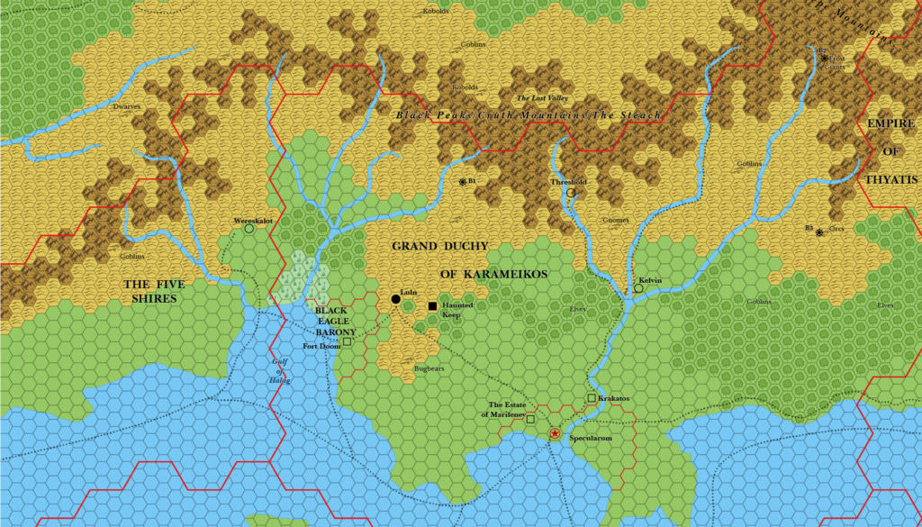
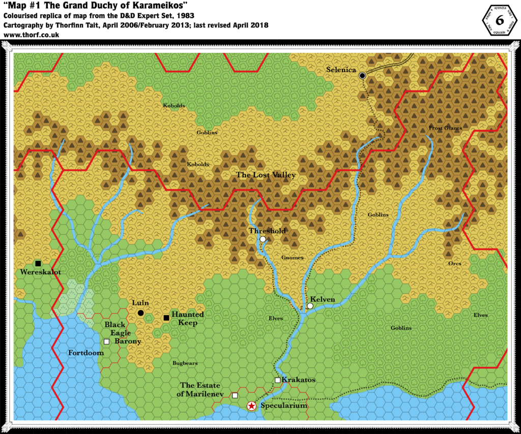
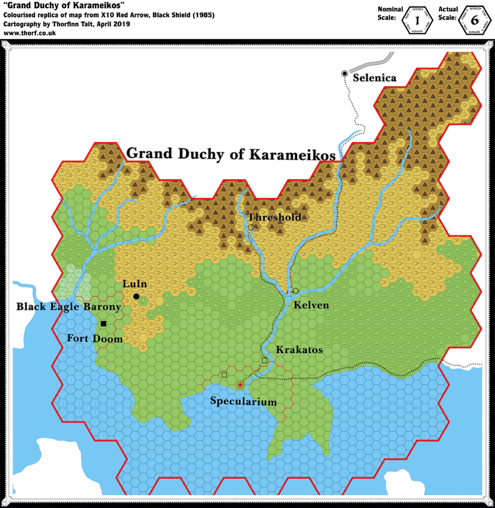
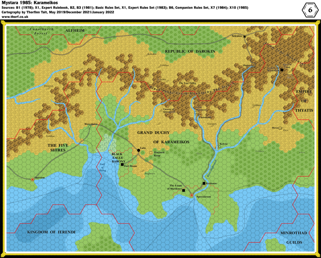
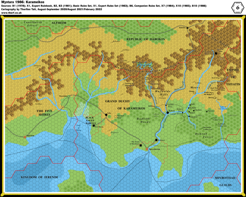
Karameikos, 6 miles per hex (1983)
1983’s major addition was new settlements: Threshold and Kelvin. These started off as villages, complete with a new symbol — and in fact they were among the first villages to be marked in the Known World. (Wereskalot, which had previously been ruins, was also changed to a village.)
Of course, there would be a lot more development of Karameikos in successive years — especially 1986 and 1987 — but as of 1983 this is the definitive view of the region.
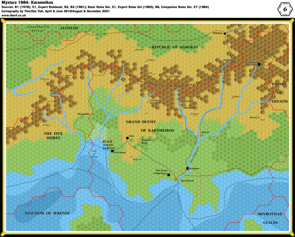
Chronological Map (August 2021)
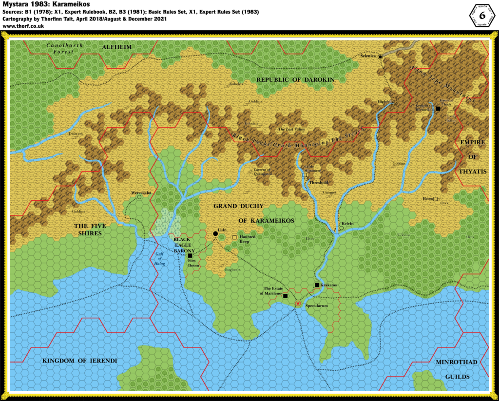
This map is part of the Mystara 1983 series of chronological maps. It is an updated map, incorporating all available sources and made internally consistent with other maps in its series. But it only uses sources published in or before 1983.
For more information, see Appendix C: Cartographic Chronology.
Sources
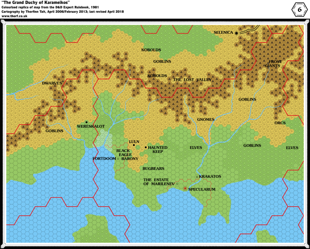
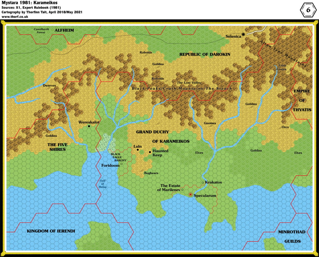
- Mystara 1981
- Expert Rulebook (1983) (PDF at DriveThruRPG)
- X1 The Isle of Dread (1983)
Revisions
For detailed notes, see the posts for each individual source map at the links above.
- Font — Changed to Baskerville.
References
- Let’s Map Mystara 1983 — the original project thread for this map
- Let’s Map Mystara Together discussion thread at The Piazza (link leads to this map’s post)
- Karameikos at the Vaults of Pandius

