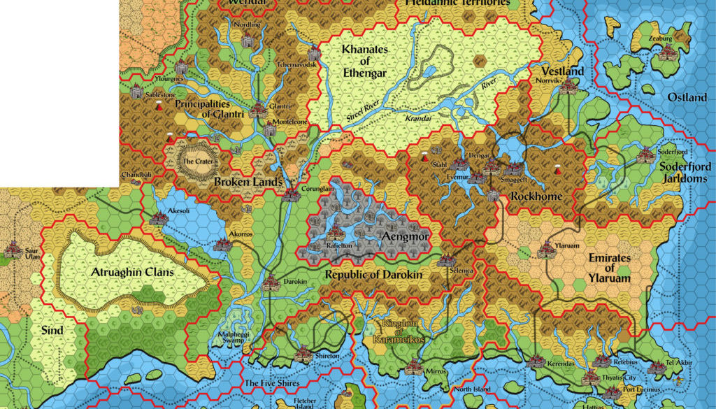
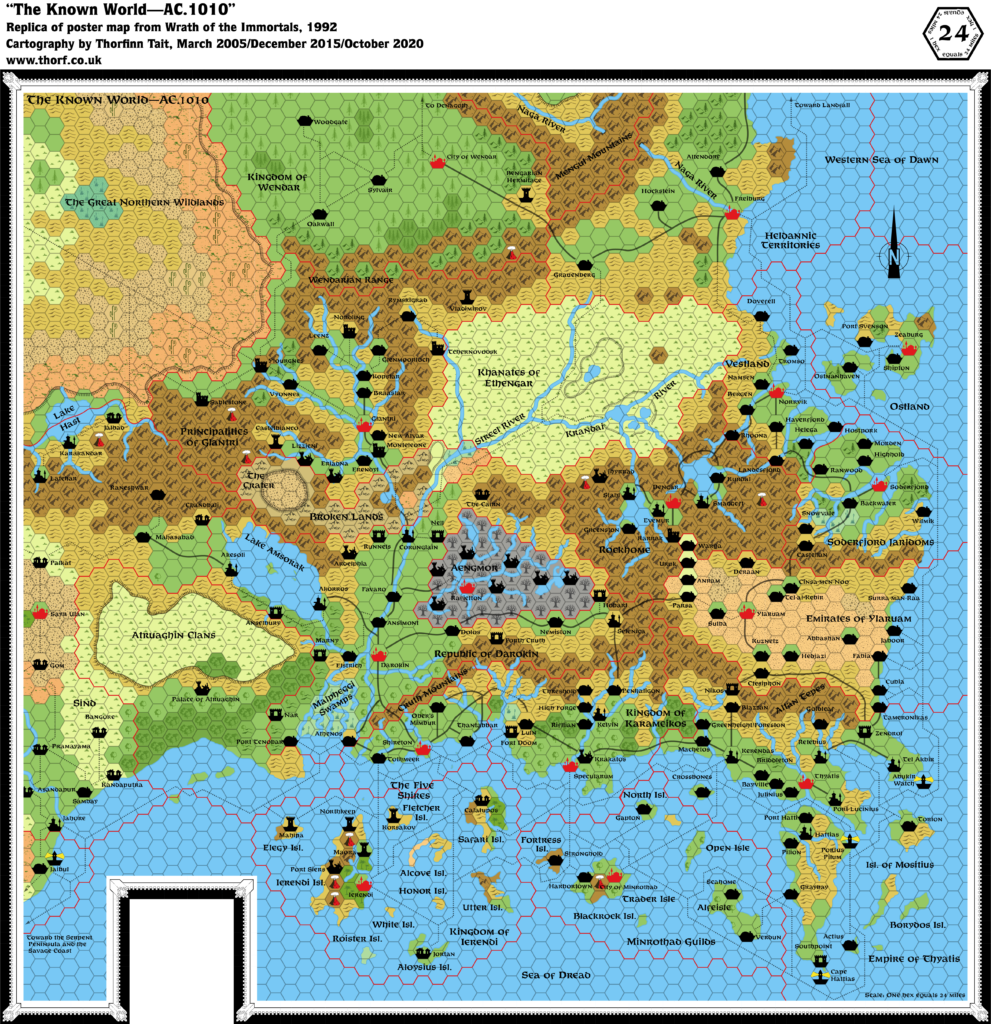
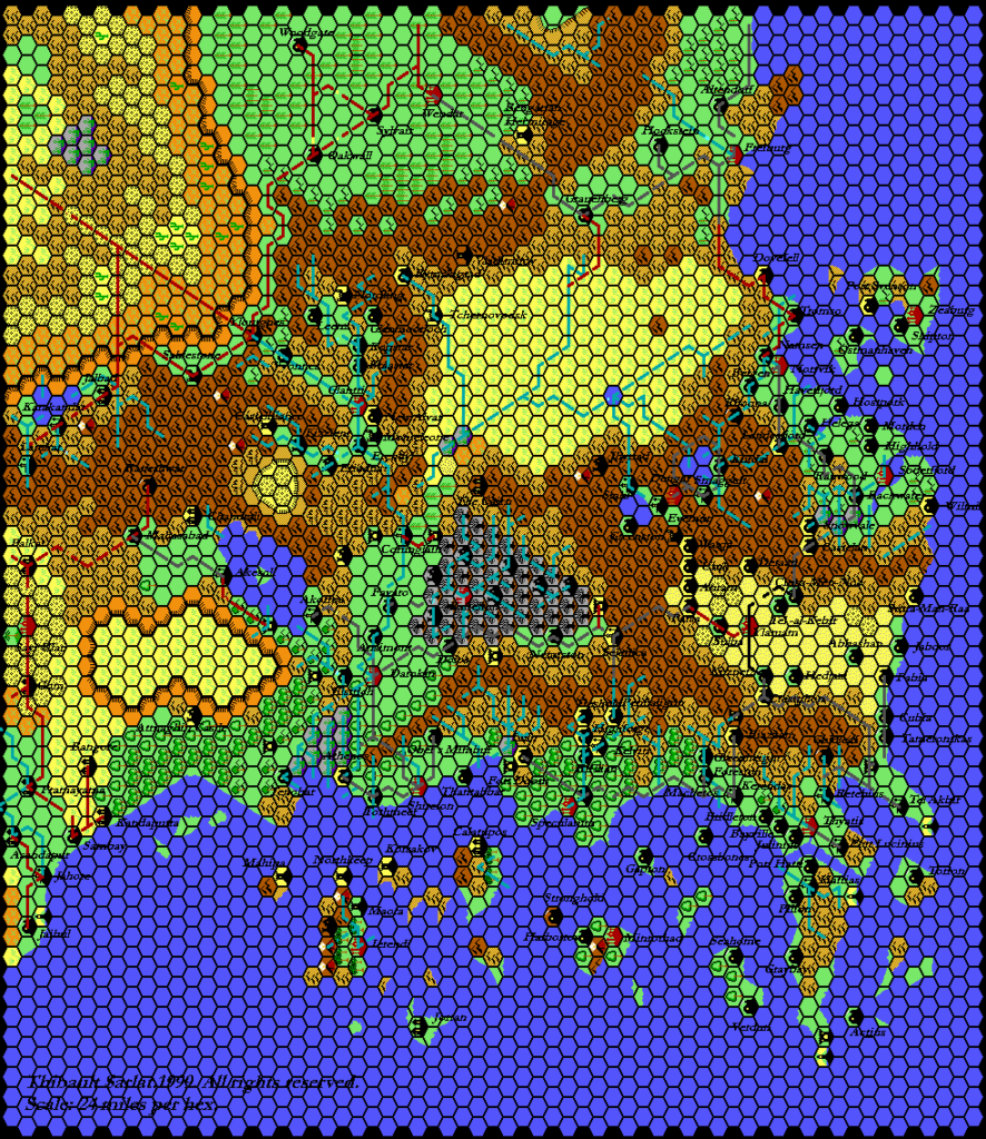
Karameikos 2E Known World, 24 miles per hex
Mystara’s AD&D debut included two poster maps: one of Karameikos, the other of the Known World. Both were hex maps, depicting the world in 1012 AC.
They included a major shock for longtime fans of the setting: although they were still hex maps, the style was completely different from before. Instead of an icon centred in each coloured hex, these maps featured coloured hexes with larger symbols scattered across them. On top of that, the colour palette was far more saturated than before, with dark browns and greens presenting a stark contrast with the other colours.
In fact, the style was roughly the same as that used in classic Greyhawk maps — specifically Darlene’s famous map (if you’re unfamiliar with it, you can see lots of pictures in this article at Wayne’s Books) — though this was probably lost on many Mystara fans at the time; indeed, it took me until 2020 to realise the similarity.
Despite the art style’s lineage and popularity among Greyhawk and AD&D fans, it came as an unwelcome change for the worse in the eyes of many Mystara fans.
In terms of significance, the map itself presented little that wasn’t already in 1992’s Wrath of the Immortals map. The overcrowding of that map was largely fixed here, though it resulted in some strange looking trails leading apparently to nowhere — especially at the coasts. Heldann and Wendar remain tantalisingly out of sight beneath the legend. Probably the most significant feature is the travel times in the legend, which are a welcome aid to DMs.
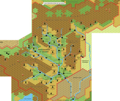
Standardised Replica Map (November 2020)
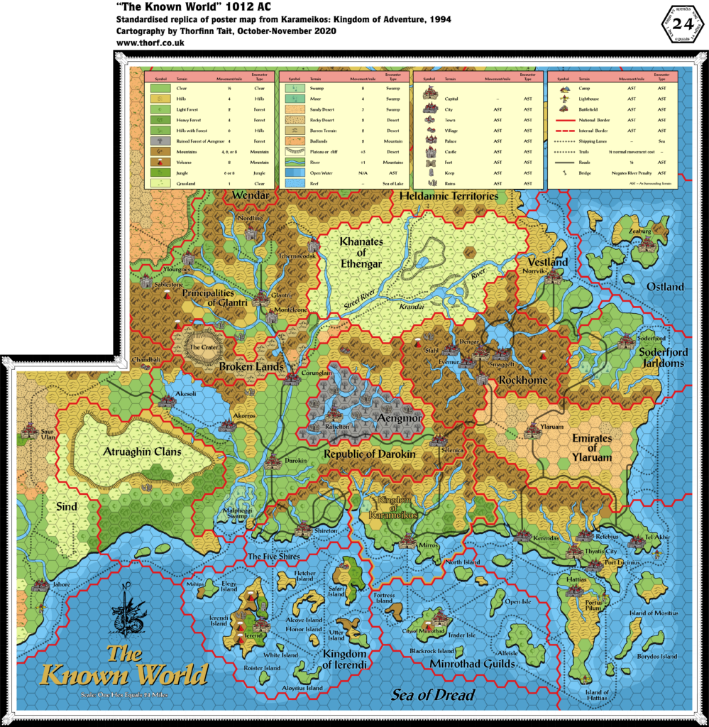
Note: This is a standardised replica, replacing the original hex art and colour palette with the Atlas standards.
Sources
- Karameikos: Kingdom of Adventure (1994) (PDF at DriveThruRPG)
- Poster map
Chronological Analysis
This is Map 251. It was published in August 1994. The updated version of this map has not yet been released, although see Karameikos 1011 AC, 8 miles per hex. See also Appendix C for annual chronological snapshots of the area. For the full context of this map in Mystara’s publication history, see Let’s Map Mystara 1994.
The following lists are from the Let’s Map Mystara project. Additions are new features, introduced in this map. Revisions are changes to previously-introduced features. Hex Art & Fonts track design elements. Finally, Textual Additions are potential features found in the related text. In most cases, the Atlas adopts these textual additions into updated and chronological maps.
Under Construction! Please check back again soon for updates.

