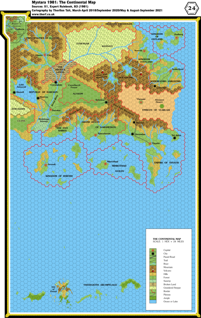
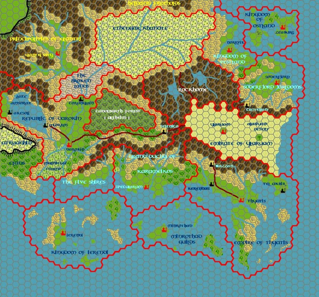
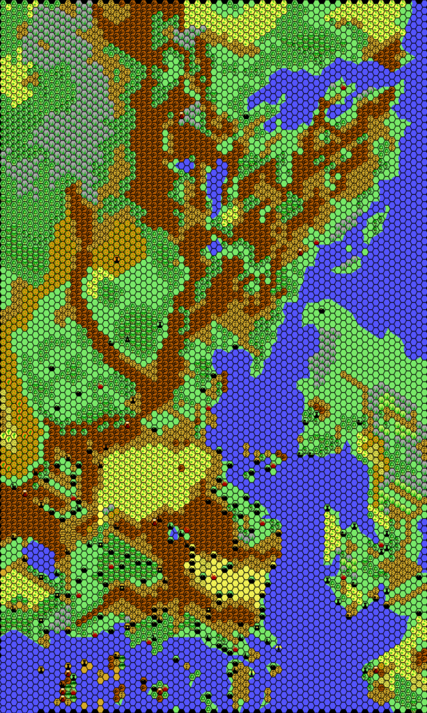
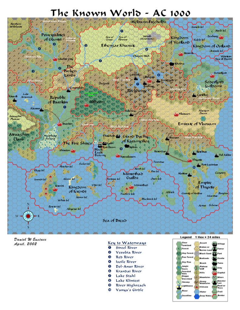
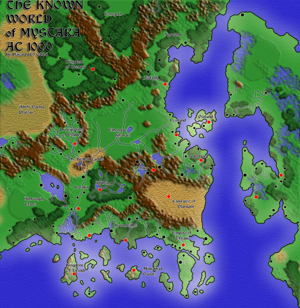
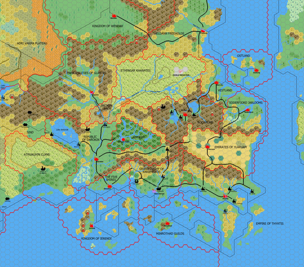
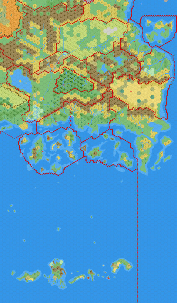
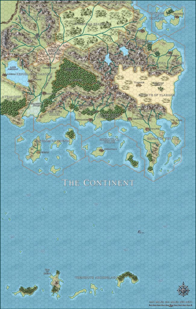
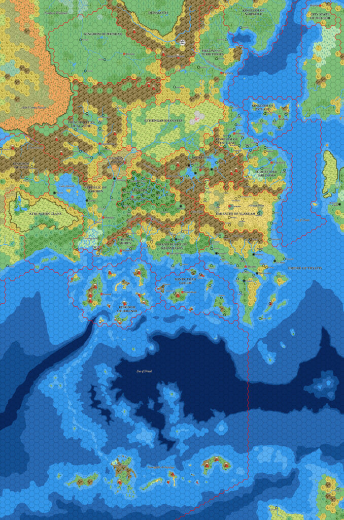
Known World, 24 miles per hex (1984)
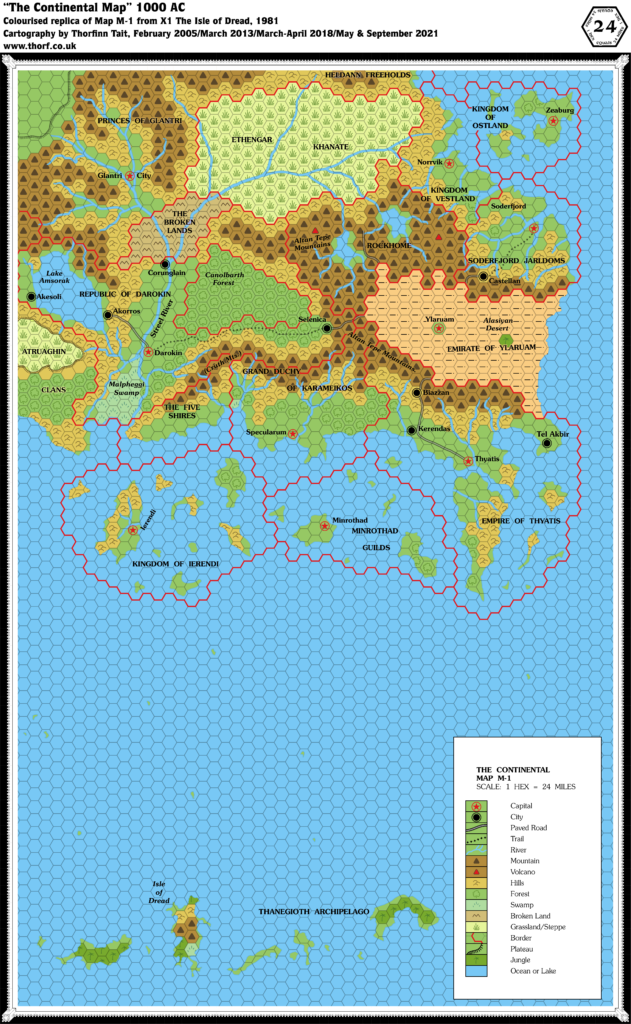
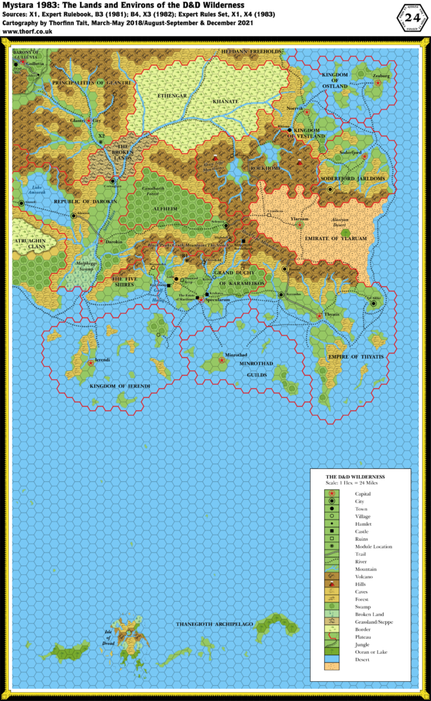
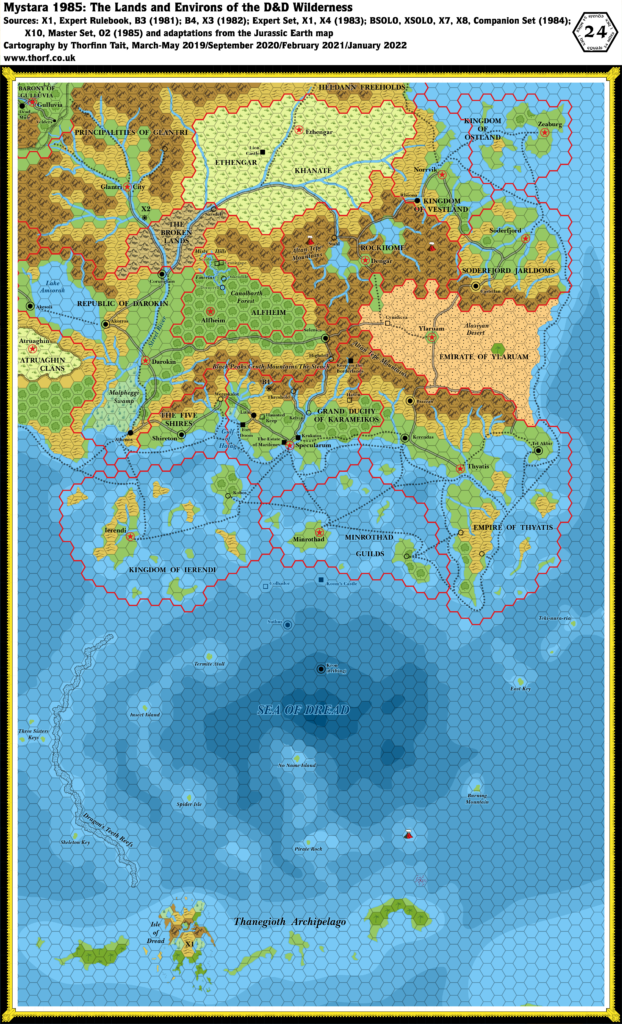
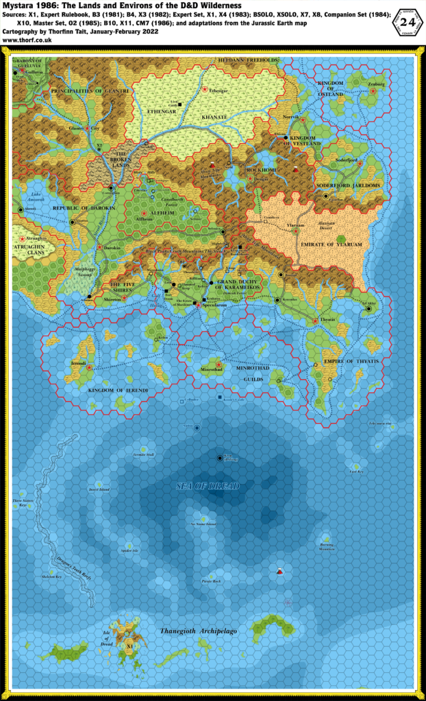
Though there was no new version of this map in 1984, the area nevertheless received numerous updates in various maps, especially in the Sea of Dread. This trend of developing smaller areas of the Known World would continue for years to come.
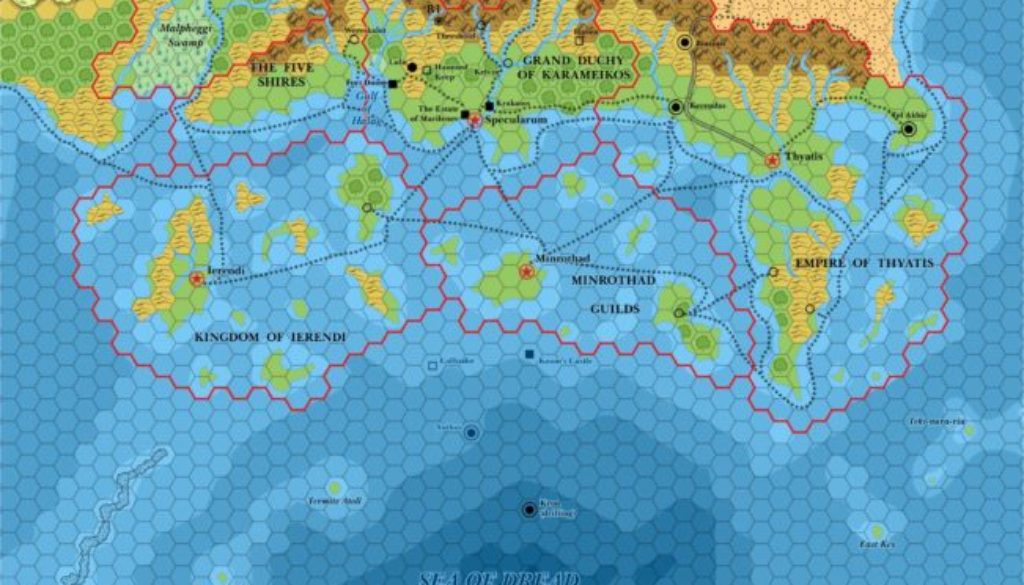
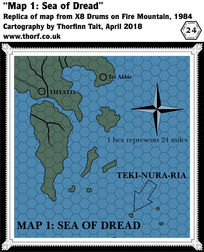
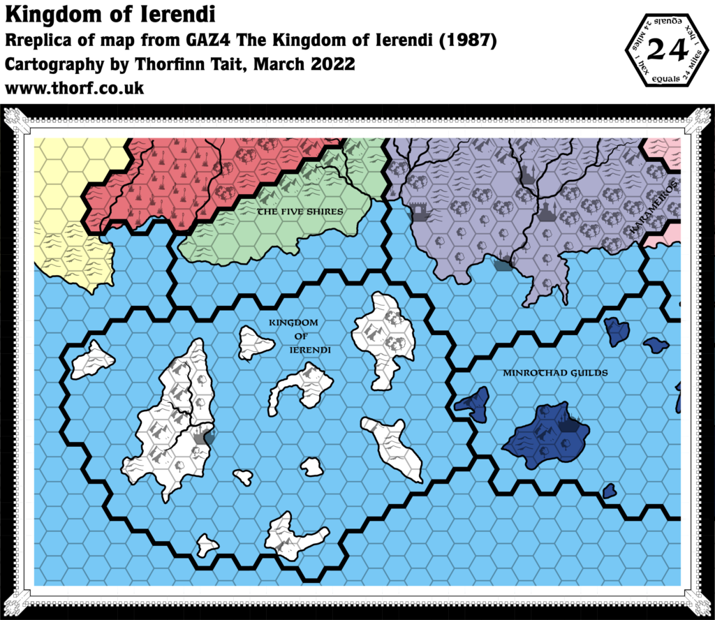
First, XSOLO extended the shipping lanes from 1983’s Expert map, which had been clipped just north of Minrothad and Ierendi. At the same time, it added four new unnamed villages to these nations and Thyatis. It also provided names for all the islands in the Sea of Dread, which had been there since the original X1, but unnamed until now, and it added a new island, too. X7 then added ocean depths for the first time, though unfortunately it only covered the middle section of this map. Since there was no any other data at that time, I have left the edges a little rough. Finally, X8 added four islands southeast of Thyatis, two of which are just off the edge of this map. X7 had marked this area as deep water, so I have added bare minimum depths around these islands, and around XSOLO’s new island.
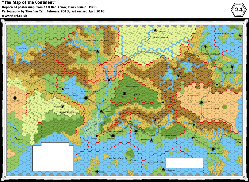
The Companion Set and CM1 introduced continental maps, which placed the Known World area in context. There was only one minor change that impacted this map, which is easily overlooked: the northwestern tip of Ochalea now appears in the bottom right of the map.
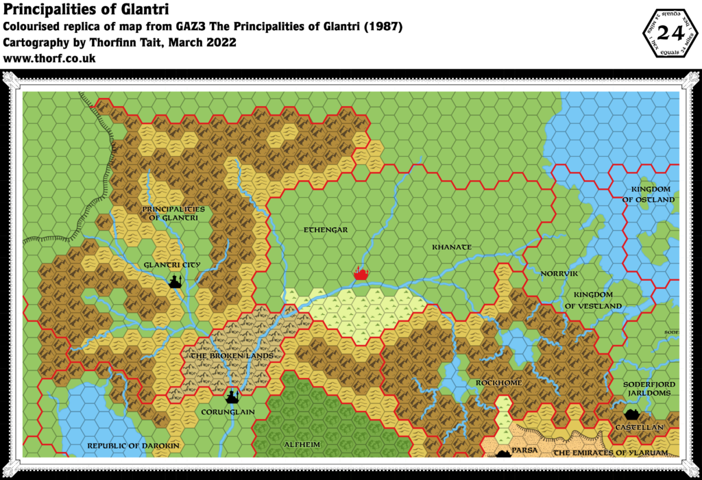
Finally, BSOLO provided the first features to mark in the Broken Lands and the Ethengar Khanate.
Chronological Map (January 2022)
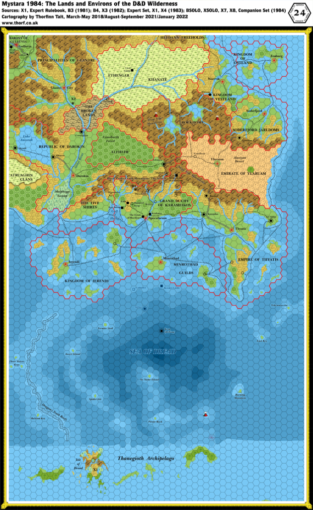
This map is part of the Mystara 1984 series of chronological maps. It is an updated map, incorporating all available sources and made internally consistent with other maps in its series. But it only uses sources published in or before 1984.
For more information, see Appendix C: Cartographic Chronology.
Sources
- Mystara 1983
- Companion Rules Set (1984) (PDF at DriveThruRPG)
- B6 The Veiled Society (1984) (PDF at DriveThruRPG)
- X7 The War Rafts of Kron (1984) (PDF at DriveThruRPG)
- X8 Drums on Fire Mountain (1984) (PDF at DriveThruRPG)
- CM1 Test of the Warlords (1984) (PDF at DriveThruRPG)
- BSOLO Ghost of Lion Castle (1984) (PDF at DriveThruRPG)
- XSOLO Lathan’s Gold (1984) (PDF at DriveThruRPG)
Revisions
For detailed notes, see the posts for each individual source map at the links above.
- Coasts — The tip of Ochalea appears in the bottom right of the map.
- Depths — The hex-based depths from X7 have been smoothed off. Some areas have been tweaked slightly, most notably: the top right corner of the map, where X7 had deep water right next to the land; the bottom right, where X7 had its legend, but it seems reasonable to assume deep water; and the edge of the depths north of the Thanegioth Archipelago, which has been smoothed off slightly. Unfortunately X7’s map stopped there, so it is not possible to add depths to the bottom section of the map in 1984. Arbitrary depths have also been added around X8’s islands and XSOLO’s Burning Mountain island so that they are not just sitting in deep water.
- Settlements — Although it did not feature a map, BSOLO provided two settlements to add: Sarsdell, a village with a lively tavern located on the edge of the Broken Lands; and Lion Castle, an adventure location located six days’ journey east and another two and a bit days’ trek north from there. The exact location has been calculated from Sarsdell, assuming a regular 18 mi/day.
References
- Let’s Map Mystara 1984 — the original project thread for this map
- Let’s Map Mystara Together discussion thread at The Piazza
- Known World at the Vaults of Pandius
Thanks to:
Michele Carpita

