
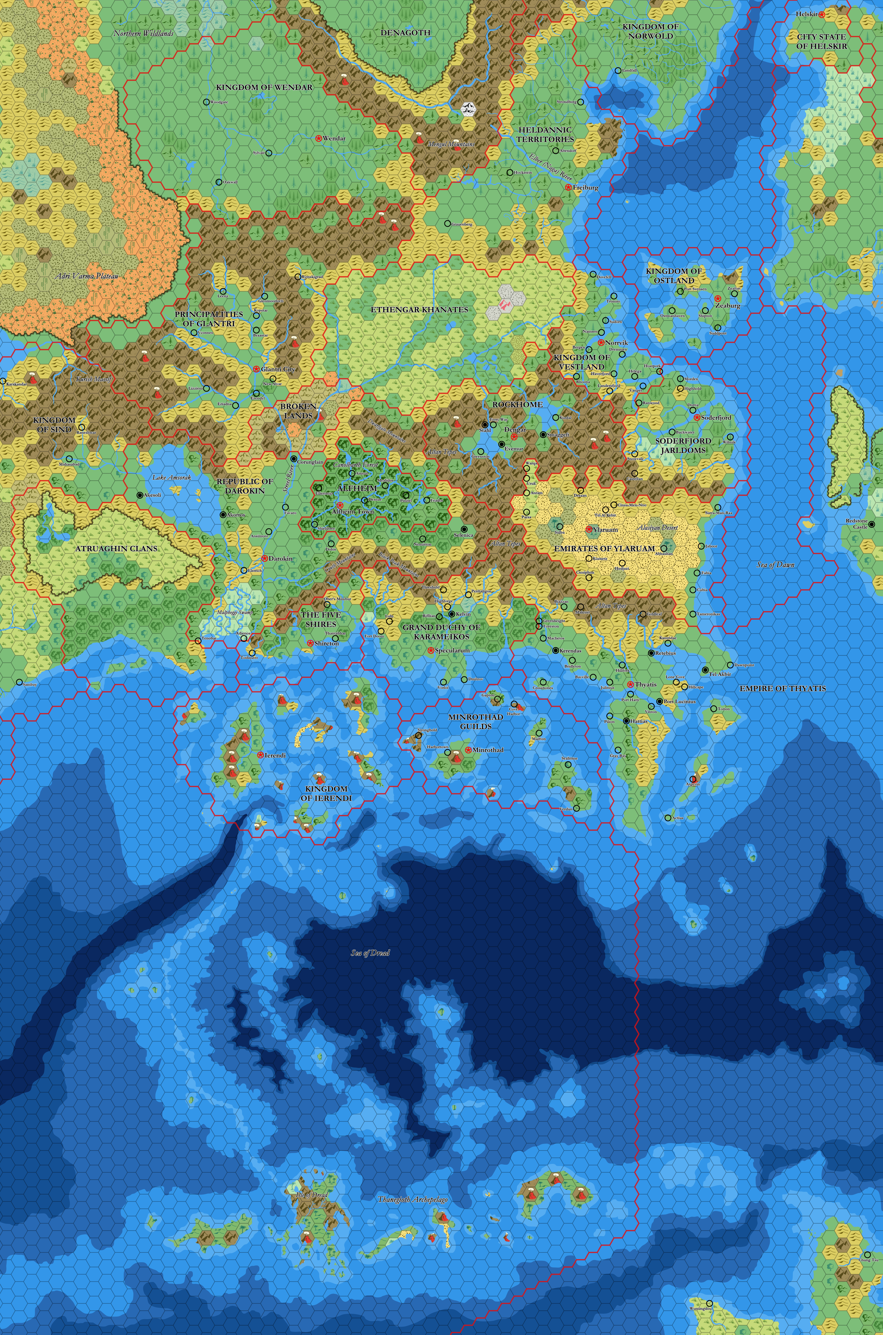
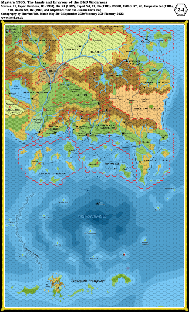
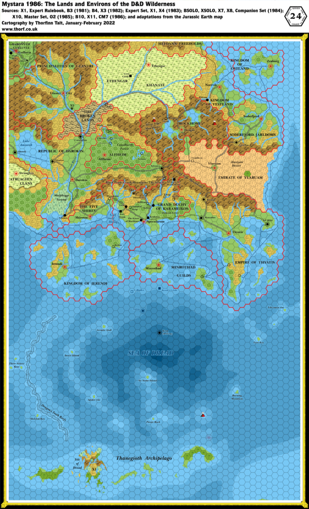
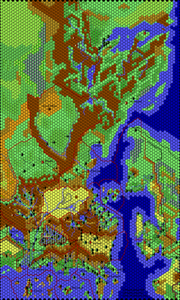
Mark’s Known World and Sea of Dread, 24 miles per hex v2
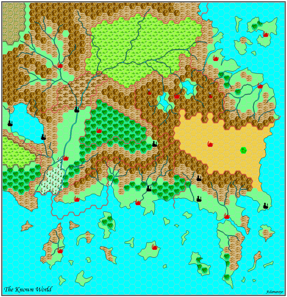
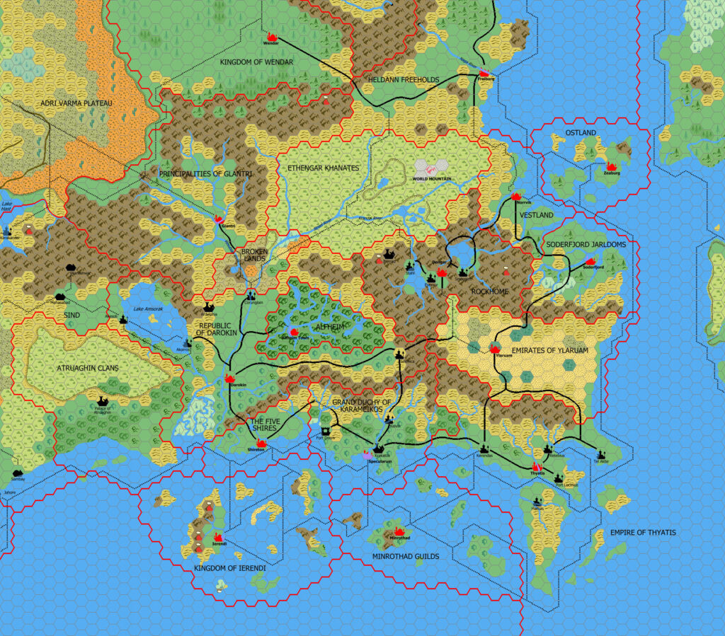
Three years after posting his Worldographer map of the Known World at 24 miles per hex, Mark posted a new Paint.NET version, this time finished to a high level of completion. It included not only labels, but also revised terrain and sea depths to match his new Known World, 8 mile per hex trail map. He explained in his post at his blog:
The next stage of my mapping process is to create 24 mile per hex versions, but using a “look through” to the underlying 8 mile per hex maps. This is done by taking the water layers, scaling them down, and then taking the underlying terrain from the 8 mile per hex maps and approximating what would be the best fit for the terrain at a more zoomed out scale.
This is therefore not just a reprisal of X1, but an update, taking into account the new terrain details on the larger scale 8 mile per hex maps, reflecting these back into the regional map. I have long planned to do this myself, but have never found the motivation to bring such a map to completion. Bravo, Mark!
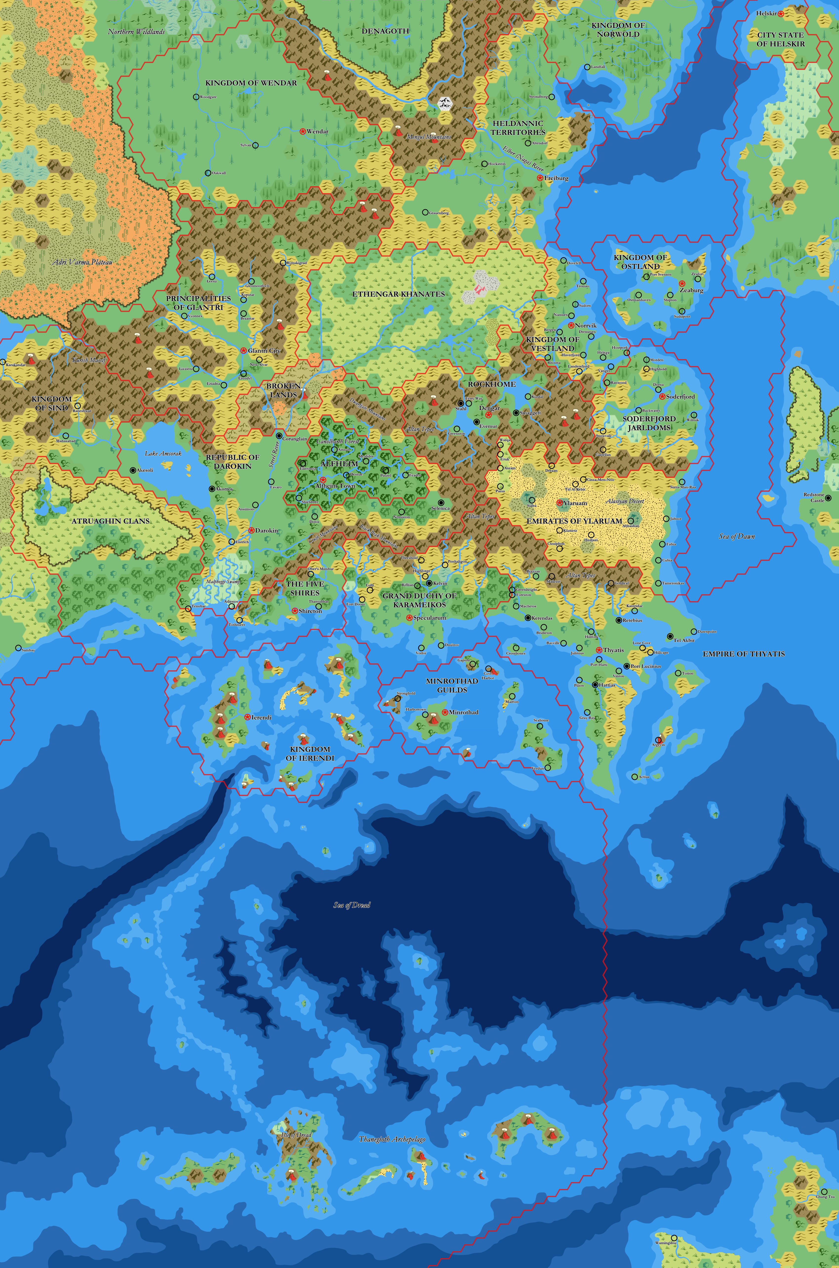
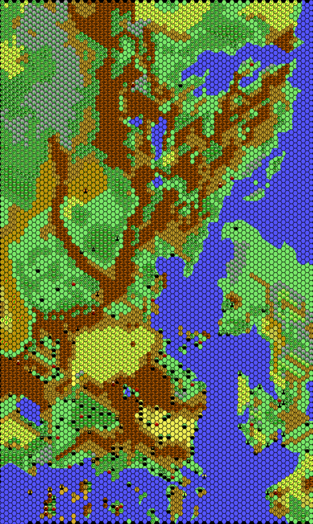
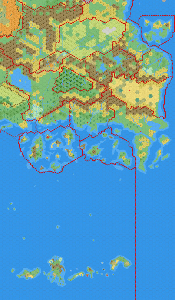
He also provided a version with the hex grid turned off.
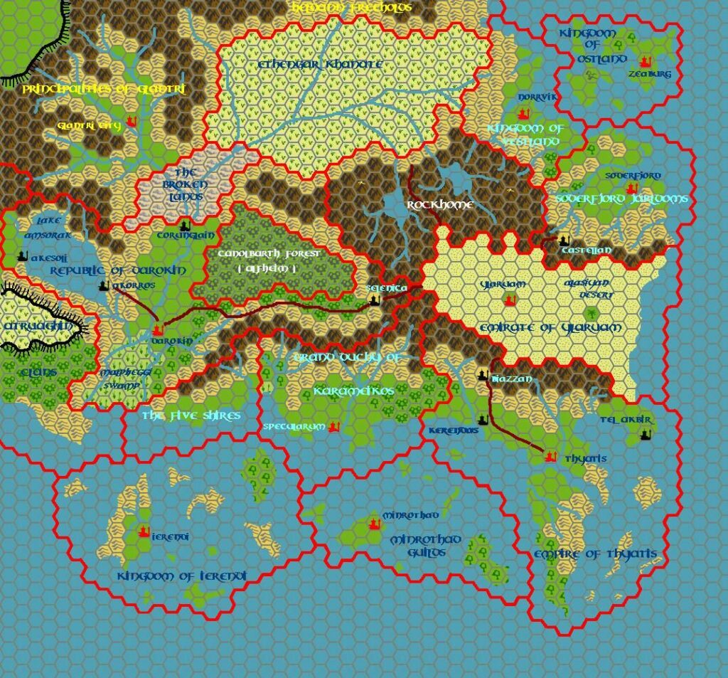
Fan-made Maps by Mark Howard (January 2022)
This is an original map created by one of Mystara’s excellent fan cartographers. For more information on the cartographer, including a gallery of all their maps, see also Appendix M: Mappers of Mystara.
Sources
- X1 The Isle of Dread (1981) (PDF at DriveThruRPG)
- Wrath of the Immortals (1992) (PDF at DriveThruRPG)
- And others…
Fan Sources
- Mark’s Known World and Sea of Dread, 24 miles per hex v1 (January 2019)
- Mark’s Known World Region, 8 miles per hex v2 (January 2022)
- Known World 24 miles per hex at Mark’s web site (January 2022)
References
- All of Mark’s maps at the Atlas of Mystara
- Mark’s entry in Appendix M: Mappers of Mystara (upcoming)
- Mark’s author page at the Vaults of Pandius
Chronological Analysis
This is a fan-made map. It was published in January 2022. The updated Atlas version of this map is not yet available. See also Appendix C for annual chronological snapshots of the area. For the full context of this map in Mystara’s publication history, see the upcoming Let’s Map Mystara 2022.
The following lists are from the Let’s Map Mystara project. Additions are new features, introduced in this map. Revisions are changes to previously-introduced features. Hex Art & Fonts track design elements. Finally, Textual Additions are potential features found in the related text. In most cases, the Atlas adopts these textual additions into updated and chronological maps.
Under Construction! Please check back again soon for updates.

")
")
")