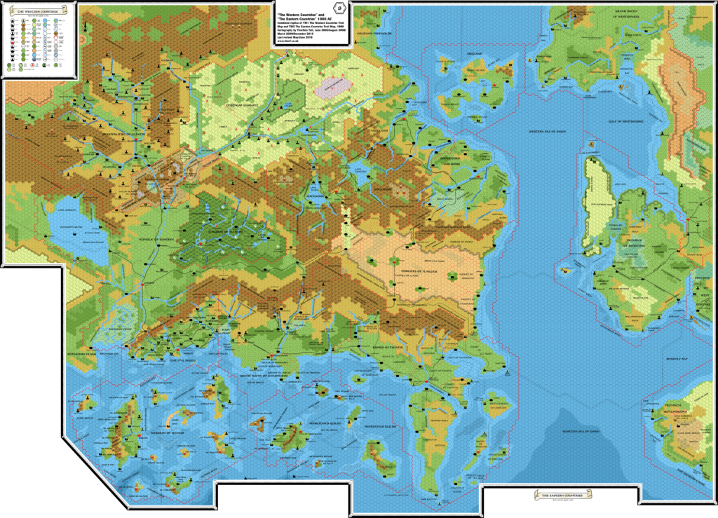
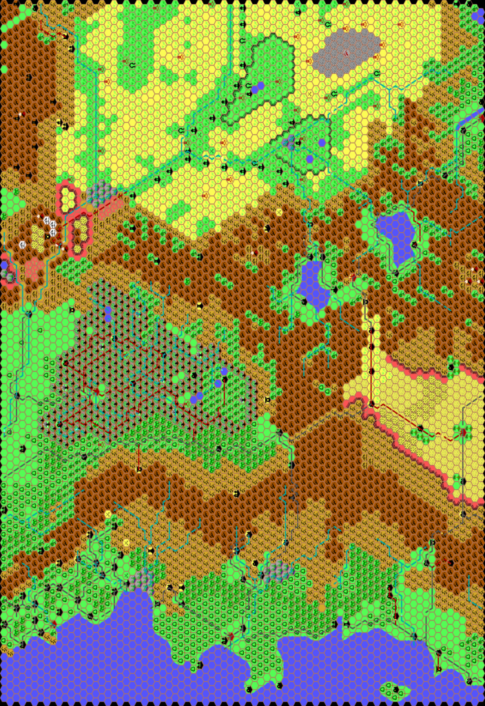
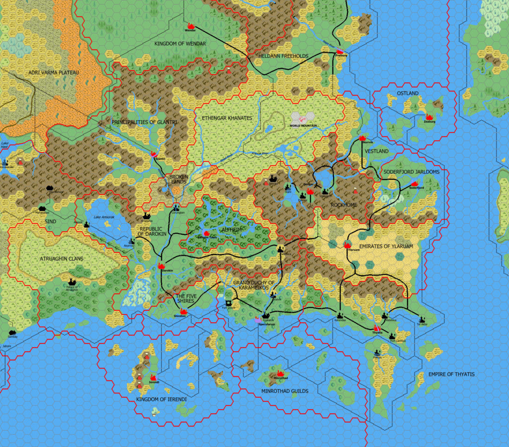
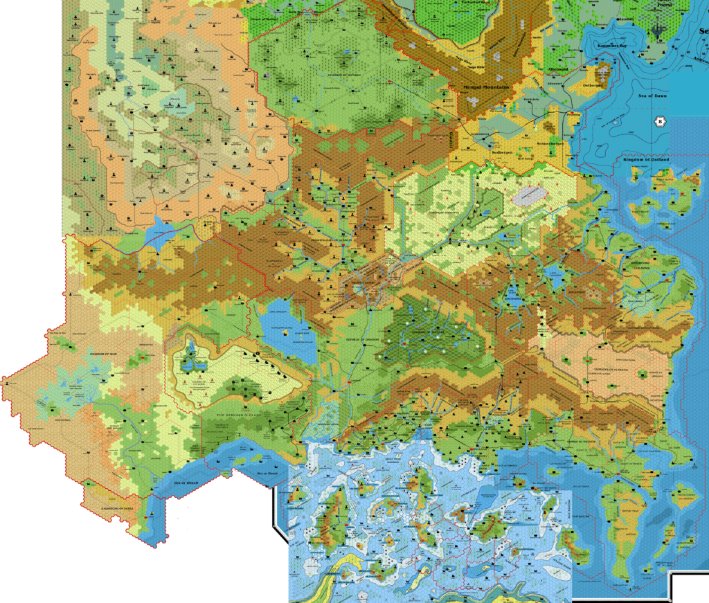
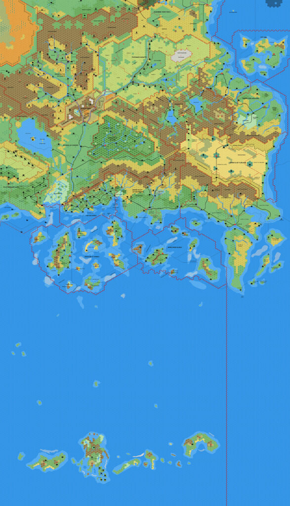
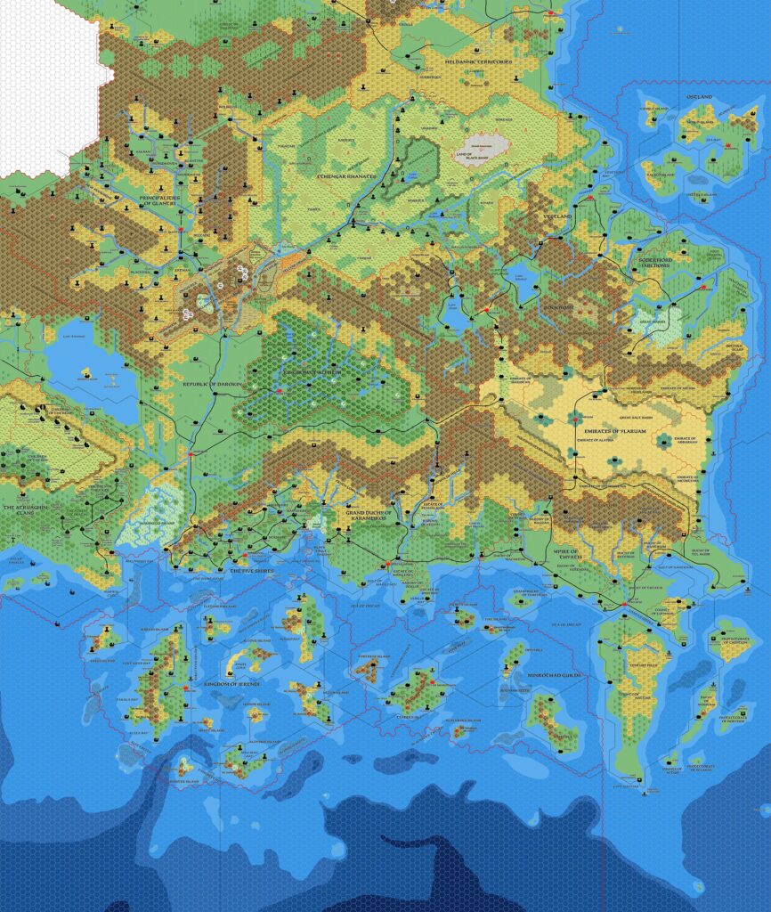
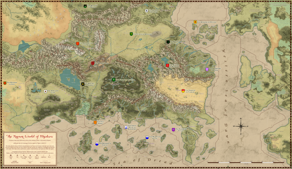
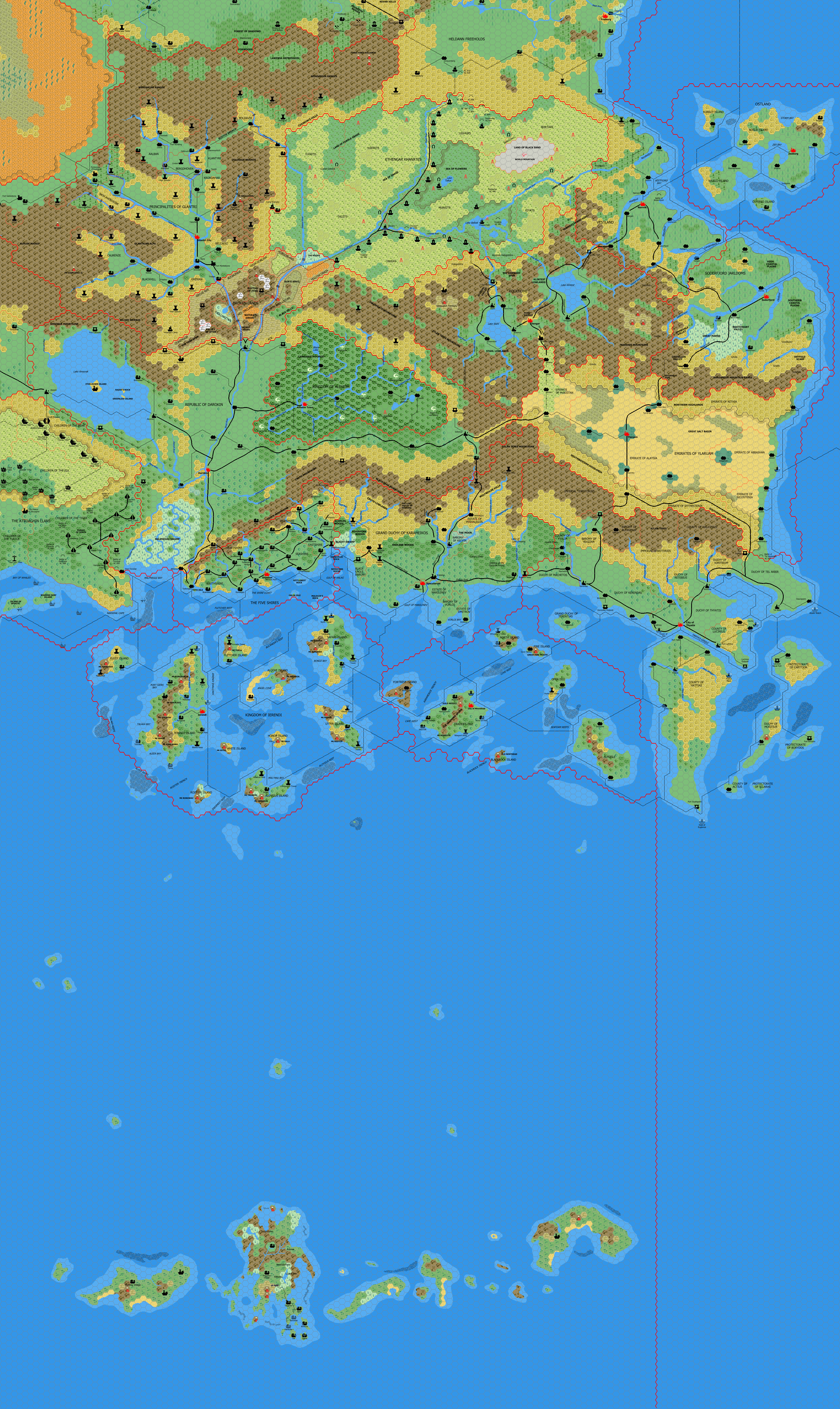
Mark’s Known World and Sea of Dread, 8 miles per hex
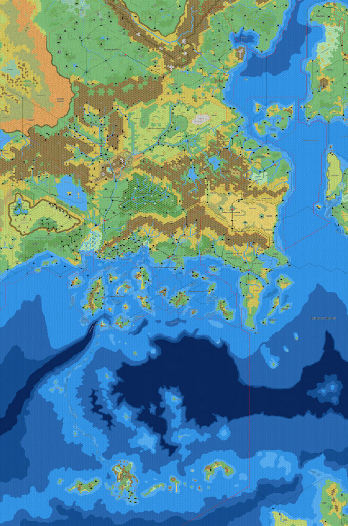
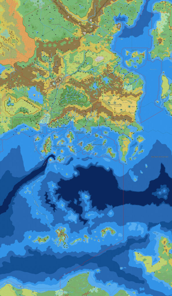
This was the ultimate result of Mark’s first mapping project, combining his Known World and Sea of Dread maps to create a massive trail map that covers the entire area of X1’s original Known World map, but at 8 miles per hex. I believe it was the first such map, and it’s a real beauty. It’s also somewhat rare among Known World trail maps, because the large file size of this kind of map often makes it unfeasible to add such a large area to the already extensive Known World region. Only a handful of maps have included this much of the Sea of Dread, and most of them are Mark’s work.
Mark’s Known World here incorporates mapping developments that had occurred in the intervening year since his first Known World map, most notably my maps of Atruaghin and Wendar.
Fan-made Map by Mark Howard (April 2006)
This is an original map created by one of Mystara’s excellent fan cartographers. For more information on the cartographer, including a gallery of all their maps, see also Appendix M: Mappers of Mystara.
Sources
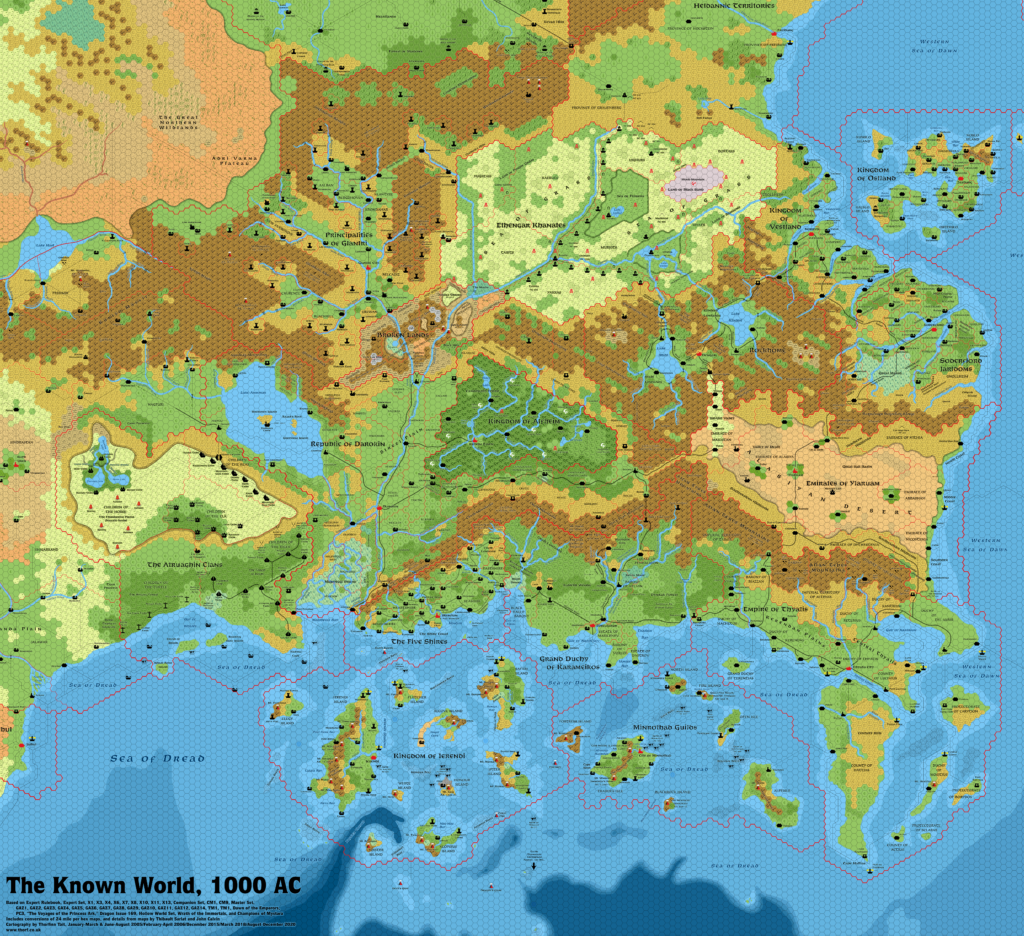
- X1 The Isle of Dread (1981) (PDF at DriveThruRPG)
Fan Sources
- Mark’s Known World, 8 miles per hex v1 (March 2005)
- Atlas of Mystara (2005-present)
- Mark’s Sea of Dread, 8 miles per hex (April 2006)
- Thanegioth Archipelago Project archived thread from Wizards’ MMB (April 2006)
References
- All of Mark’s maps at the Atlas of Mystara
- Mark’s entry in Appendix M: Mappers of Mystara (upcoming)
- Mark’s author page at the Vaults of Pandius
Chronological Analysis
This is a fan-made map. It was published in April 2006. The updated Atlas version of this map is not yet available. See also Appendix C for annual chronological snapshots of the area. For the full context of this map in Mystara’s publication history, see the upcoming Let’s Map Mystara 2006.
The following lists are from the Let’s Map Mystara project. Additions are new features, introduced in this map. Revisions are changes to previously-introduced features. Hex Art & Fonts track design elements. Finally, Textual Additions are potential features found in the related text. In most cases, the Atlas adopts these textual additions into updated and chronological maps.
Under Construction! Please check back again soon for updates.