
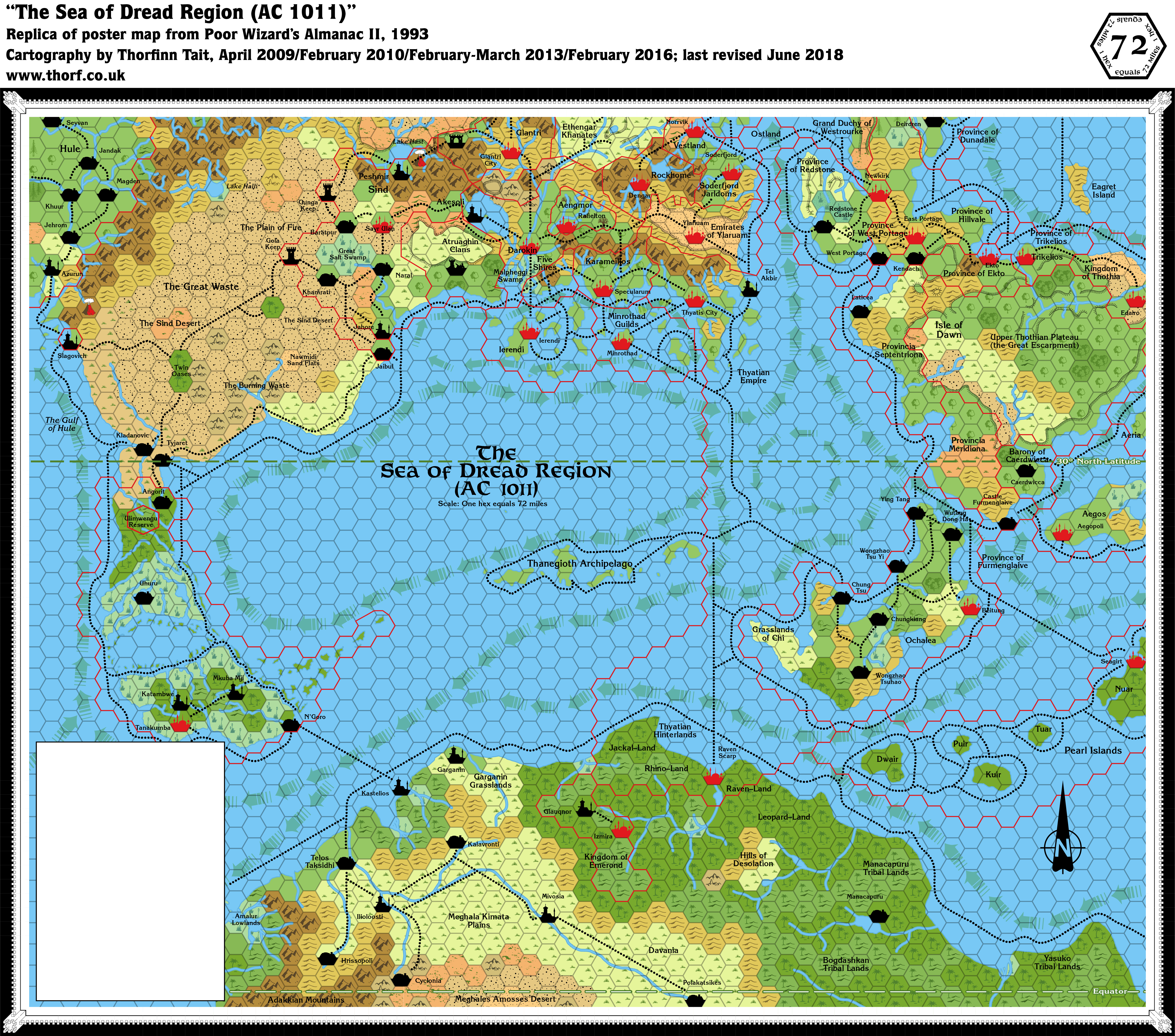
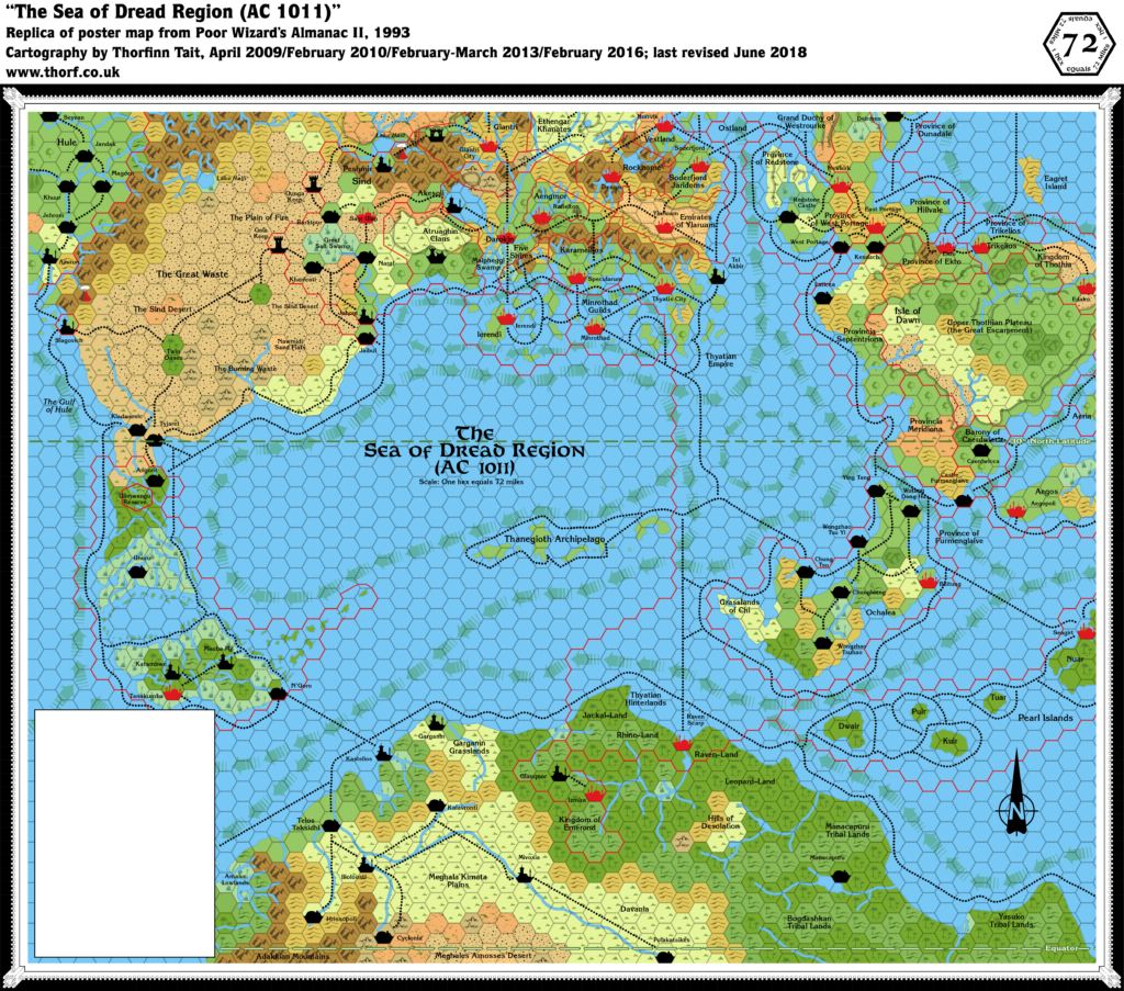
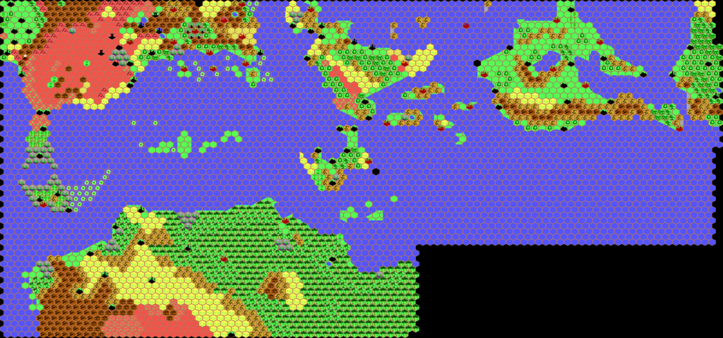
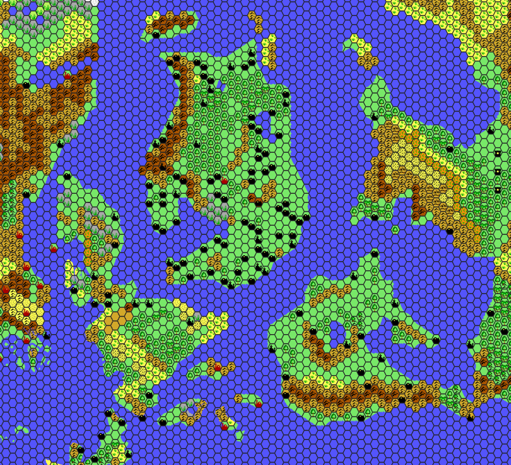
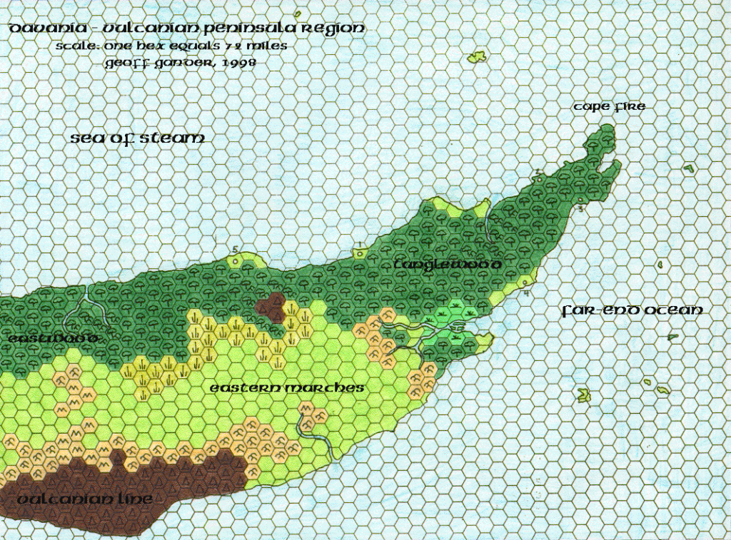
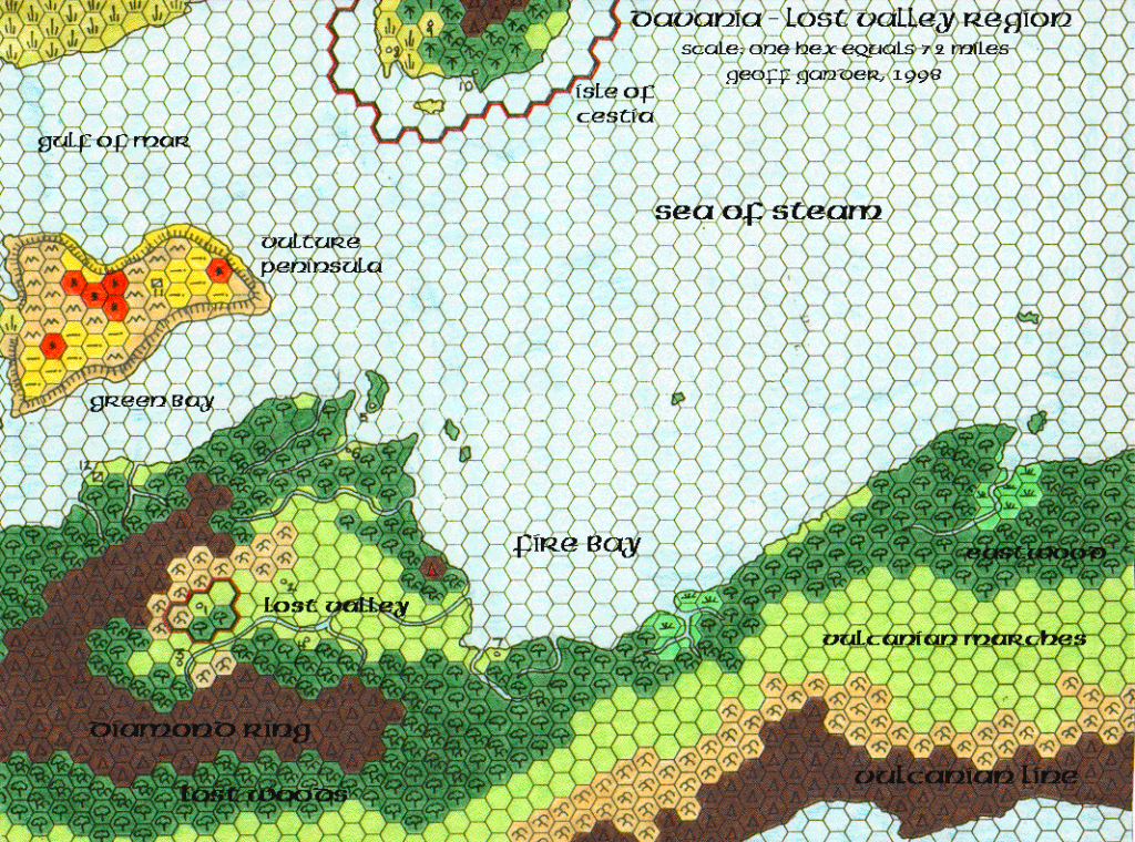
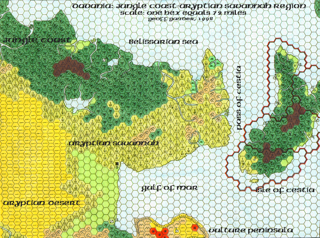
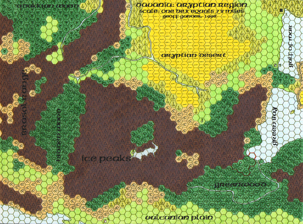
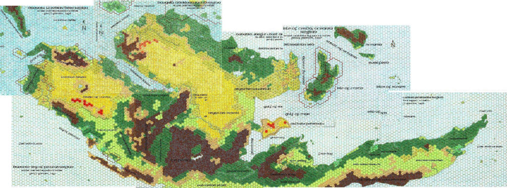
Poor Wizard’s Almanac II Sea of Dread, 72 miles per hex
The second almanac, published in late 1993, expanded 72 mile per hex coverage to the west and south for the first time. It is the best official source for the northern tip of Davania, and the only published map to show ocean currents.
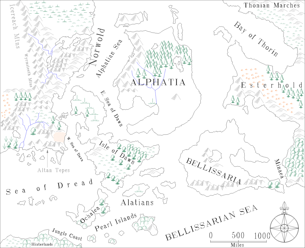
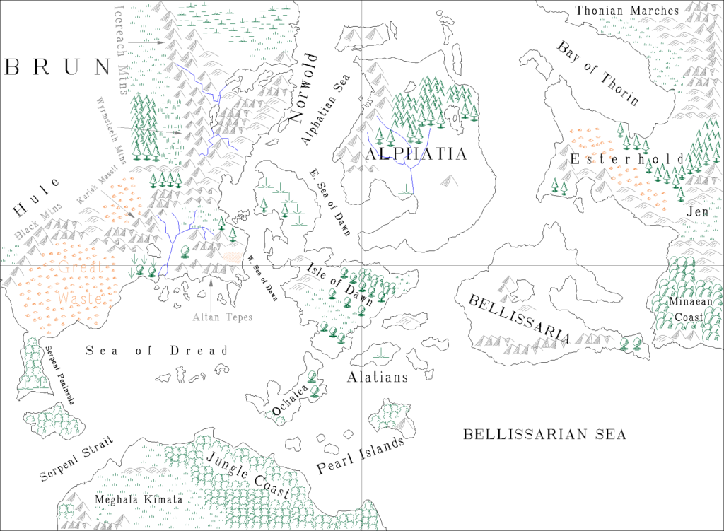
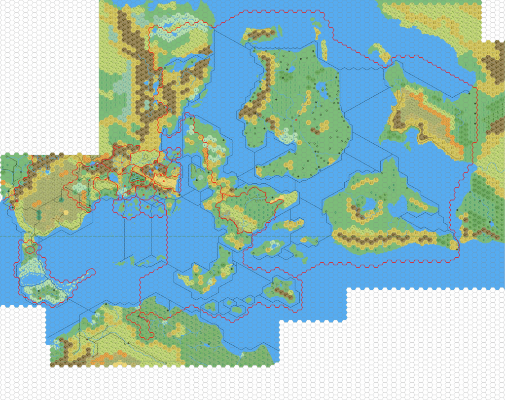
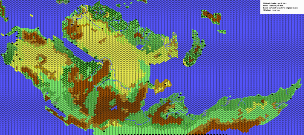
Replica Map (June 2018)
Sources
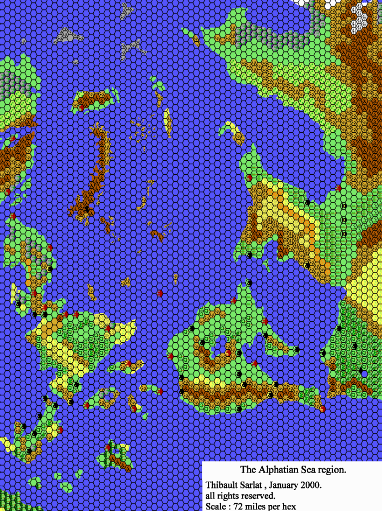
- Poor Wizard’s Almanac II (1993) (PDF at DriveThruRPG)
- Poster map
Chronological Analysis
This is Map 238. It was published in December 1993. The updated version of this map has not yet been released. See also Appendix C for annual chronological snapshots of the area. For the full context of this map in Mystara’s publication history, see the upcoming Let’s Map Mystara 1993.
The following lists are from the Let’s Map Mystara project. Additions are new features, introduced in this map. Revisions are changes to previously-introduced features. Hex Art & Fonts track design elements. Finally, Textual Additions are potential features found in the related text. In most cases, the Atlas adopts these textual additions into updated and chronological maps.
Under Construction! Please check back again soon for updates.

")
")
")