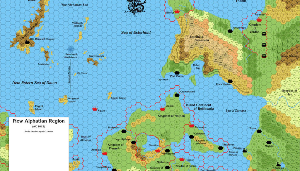
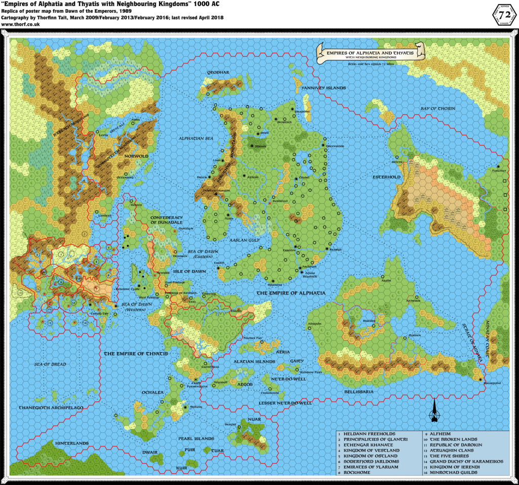
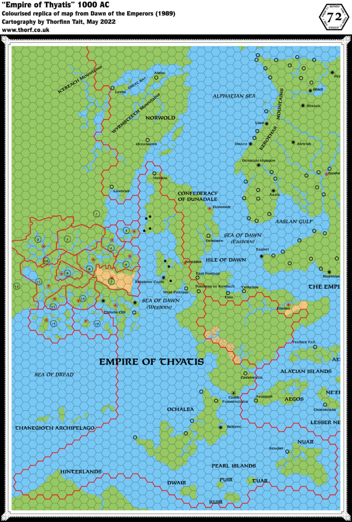
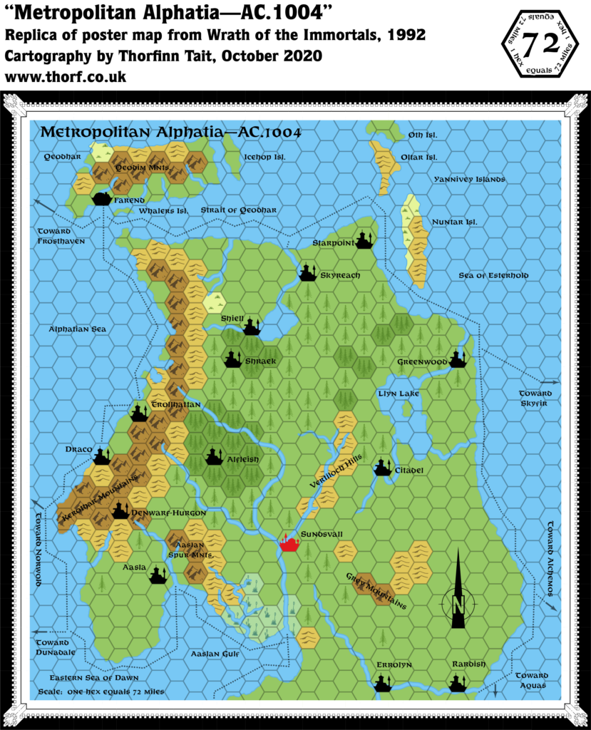
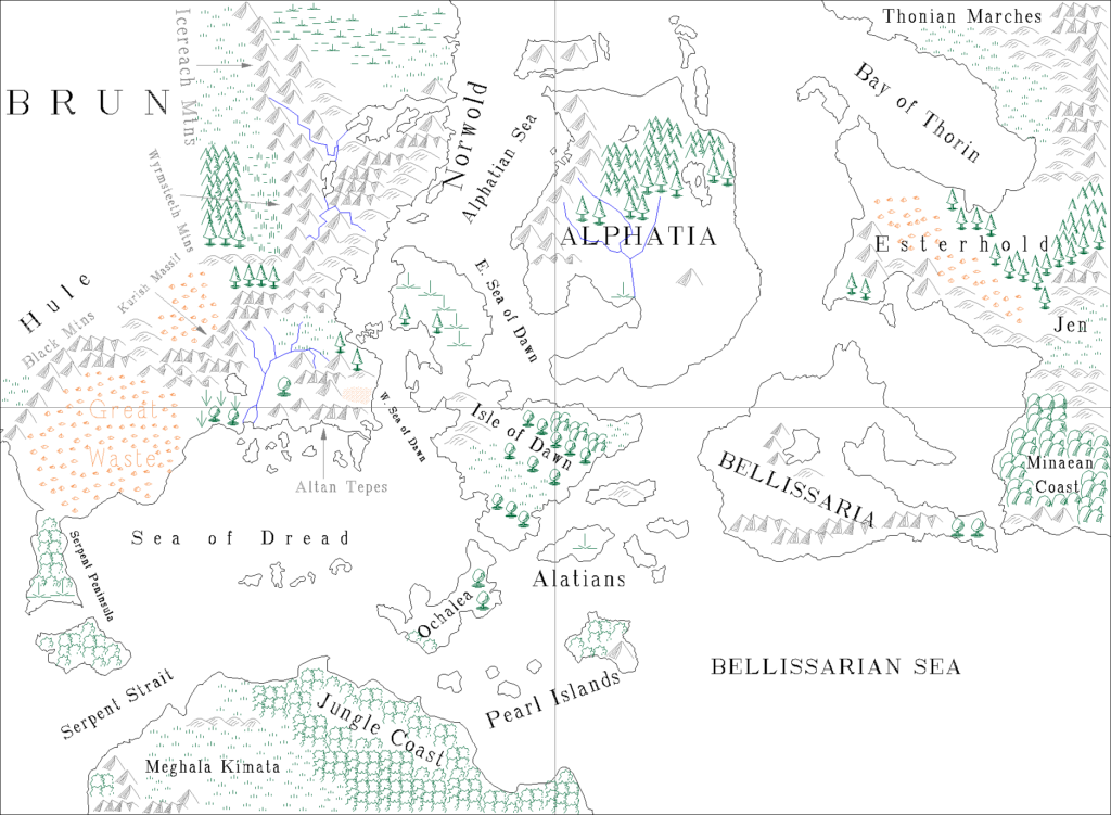
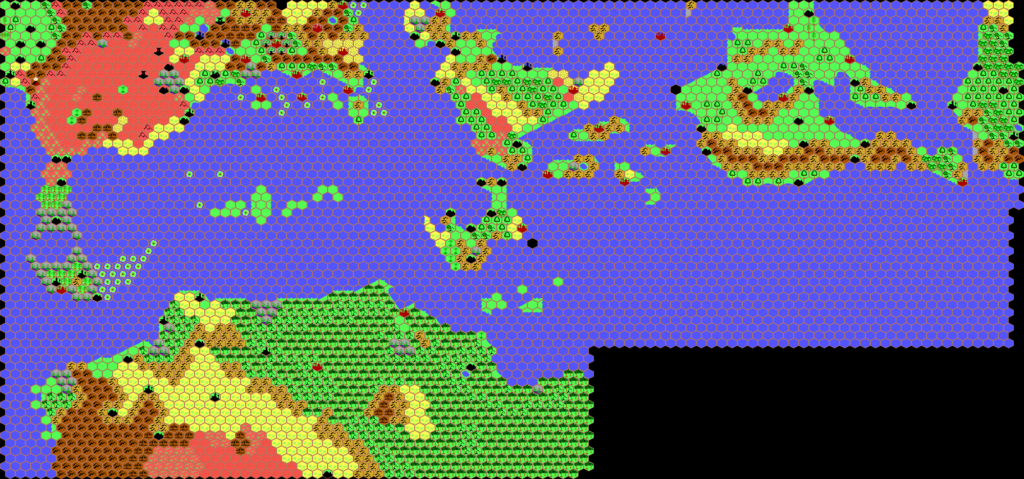
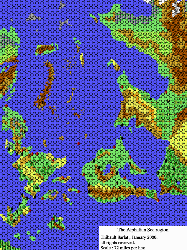
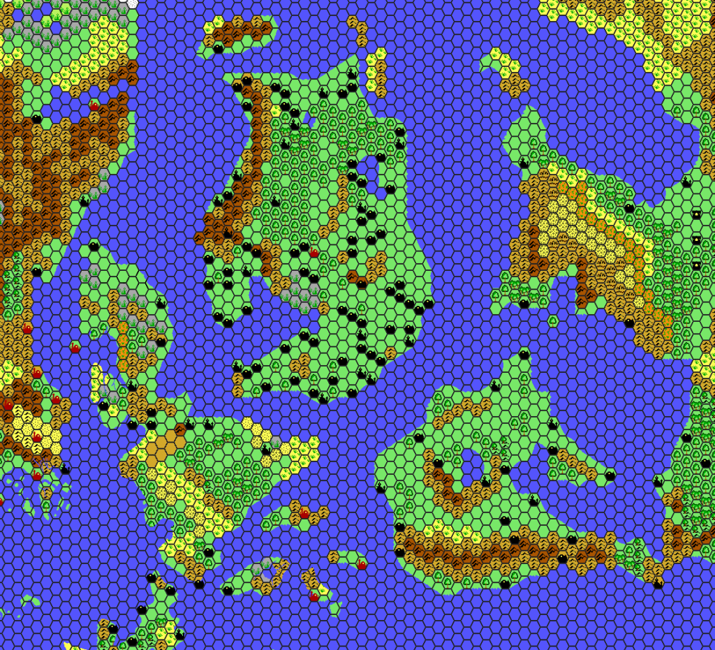
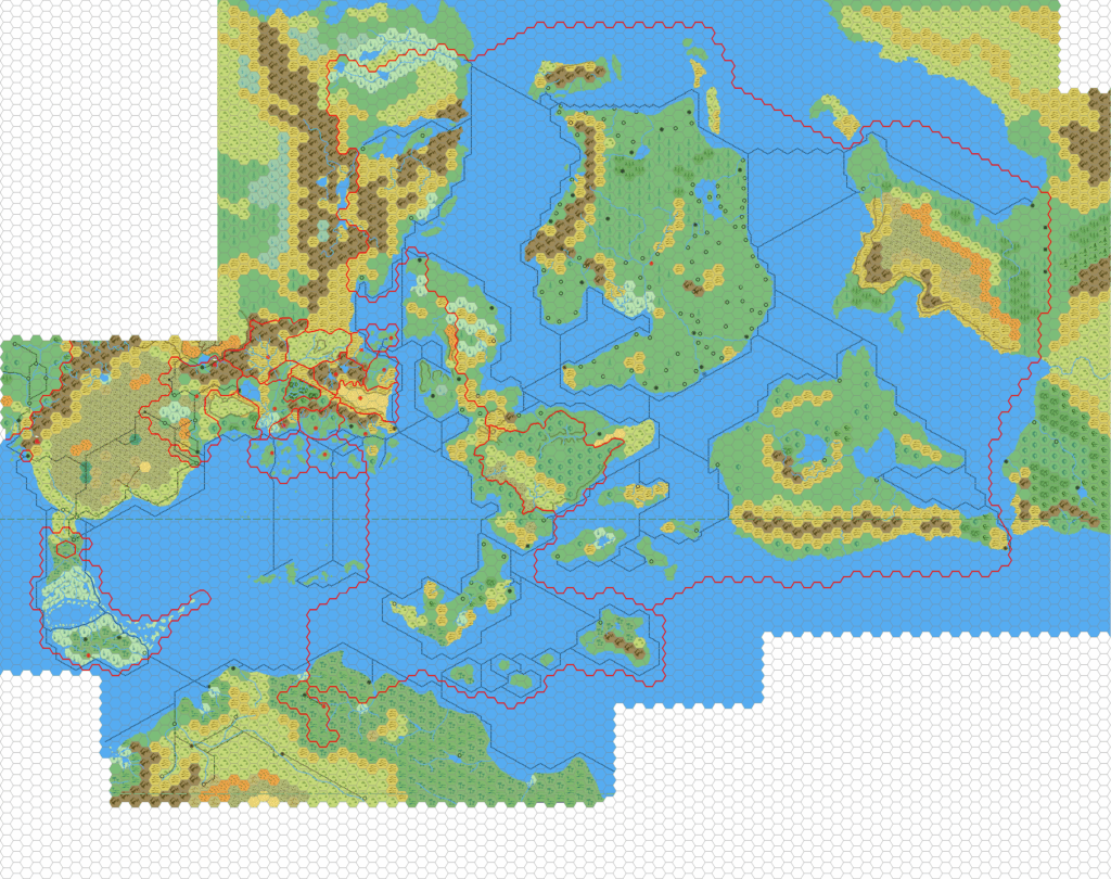
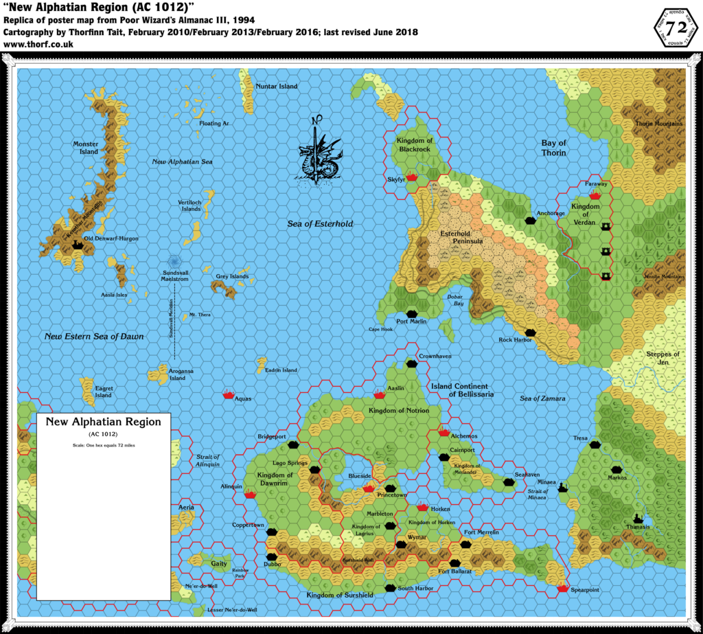
Poor Wizard’s Almanac III New Alphatian Region, 72 miles per hex
The third Poor Wizard’s Almanac was also the last. There would be one more almanac, but with a drastically changed format, and no hex maps. In fact, this was to be Mystara’s last published Gazetteer-style hex map. I remember how this felt back in 1994 — a bittersweet feeling, as this map continued the tradition of revealing new areas, and yet it seemed obvious it might be the last to do so.
The new area this time was Skothar: this map provides the only view of the lands east of Faraway, and the best snapshot of Minaea we ever got.
Replica Map (June 2018)
Sources
- Poor Wizard’s Almanac III (1994) (PDF at DriveThruRPG)
- Poster map
Chronological Analysis
This is Map 259. It was published in December 1994. The updated version of this map has not yet been released. See also Appendix C for annual chronological snapshots of the area. For the full context of this map in Mystara’s publication history, see the upcoming Let’s Map Mystara 1994.
The following lists are from the Let’s Map Mystara project. Additions are new features, introduced in this map. Revisions are changes to previously-introduced features. Hex Art & Fonts track design elements. Finally, Textual Additions are potential features found in the related text. In most cases, the Atlas adopts these textual additions into updated and chronological maps.
Under Construction! Please check back again soon for updates.

