
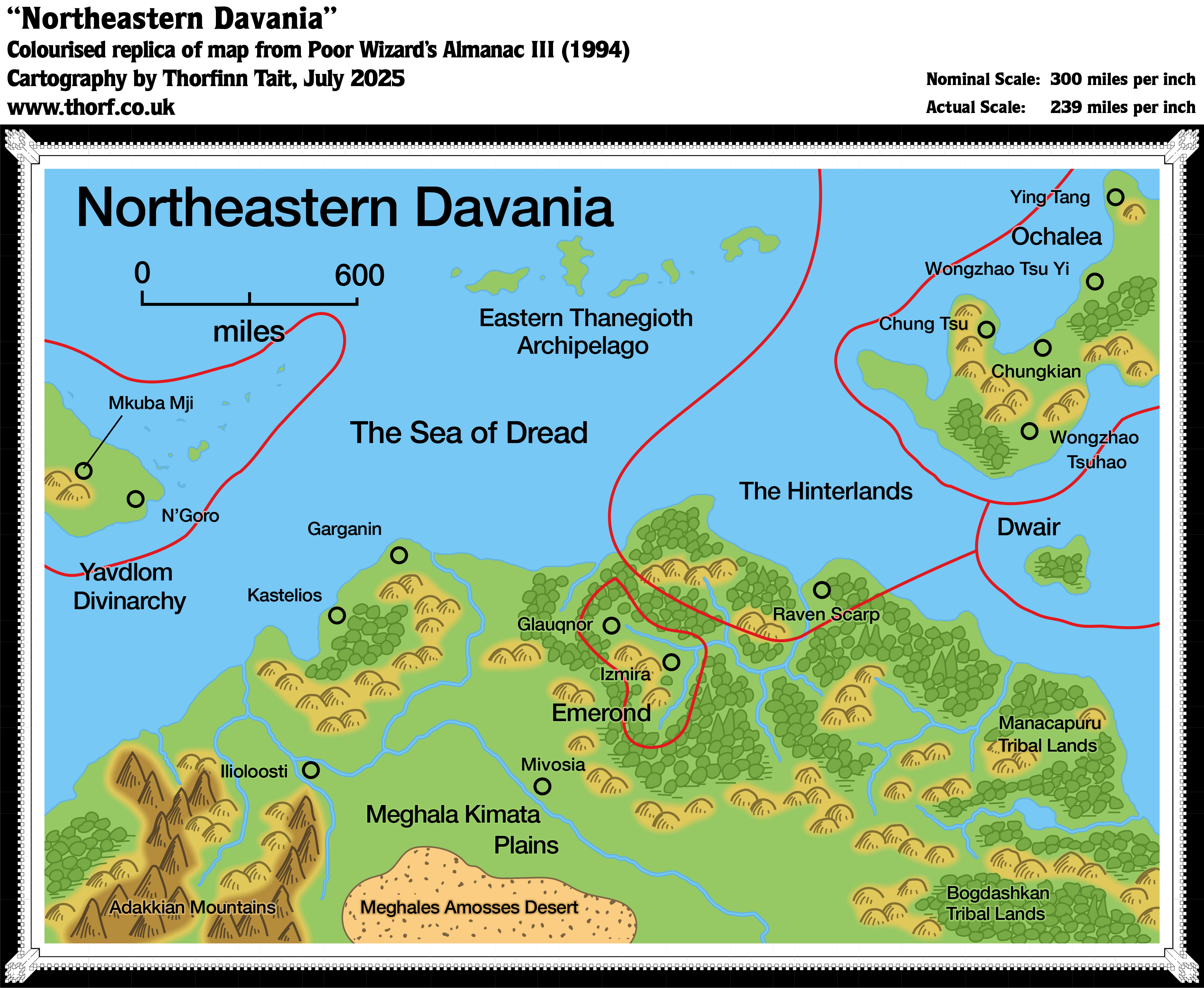
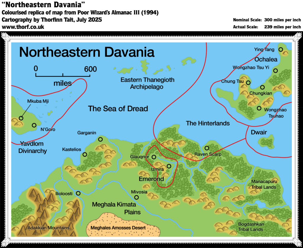
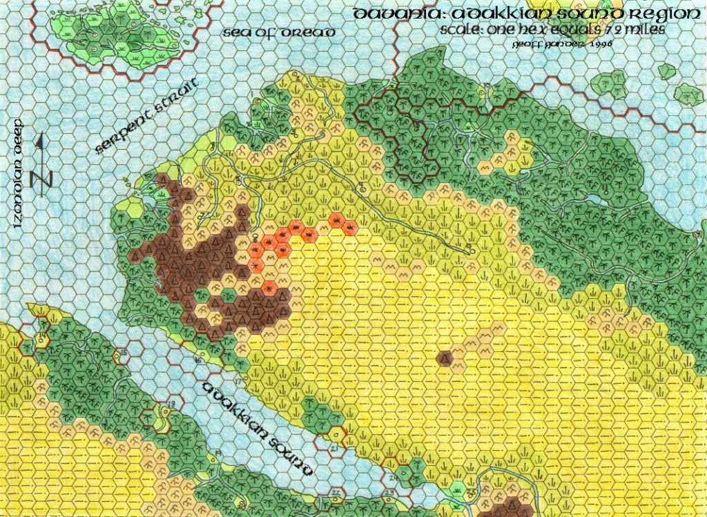
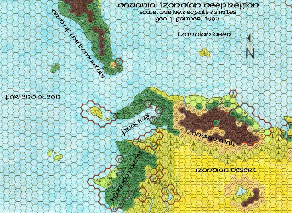
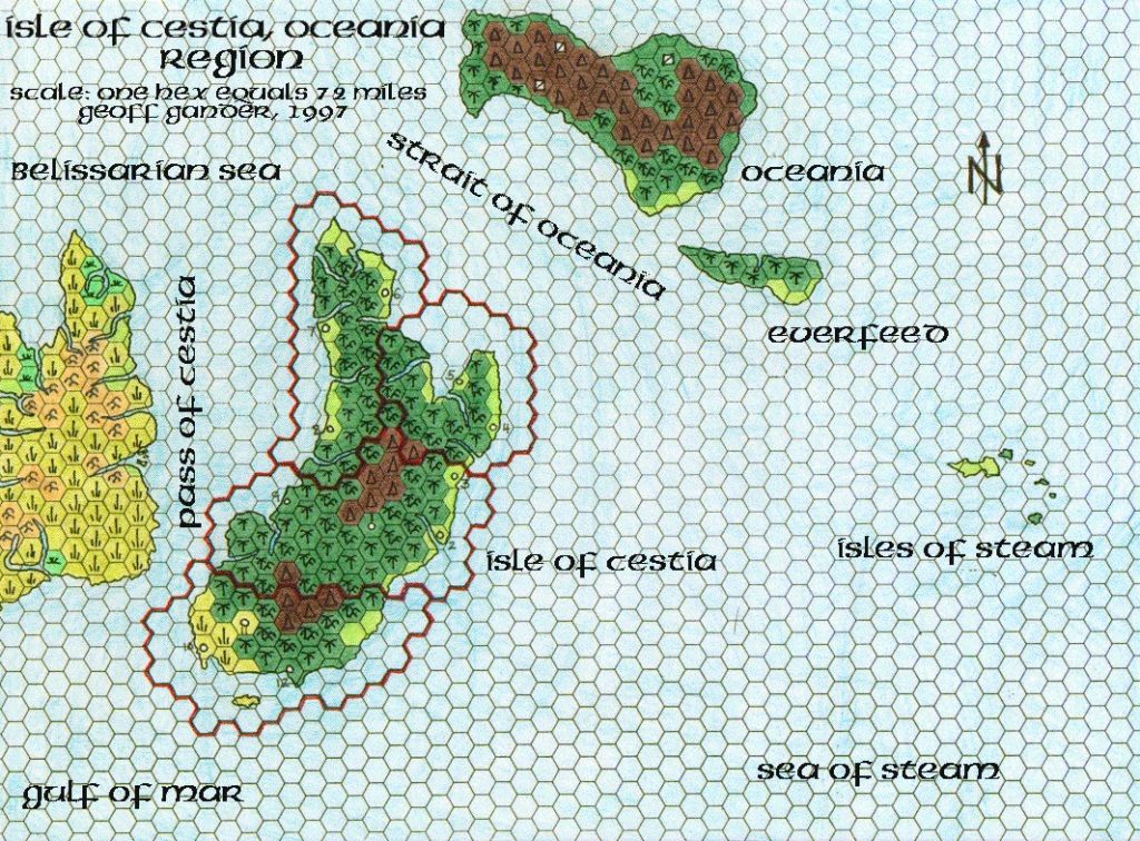
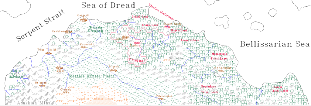
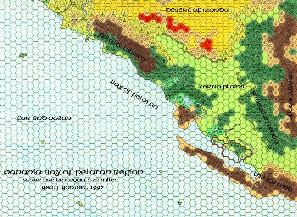
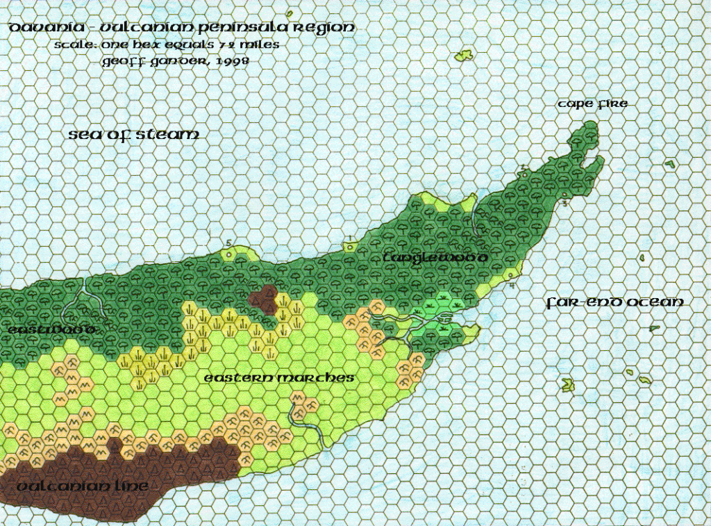
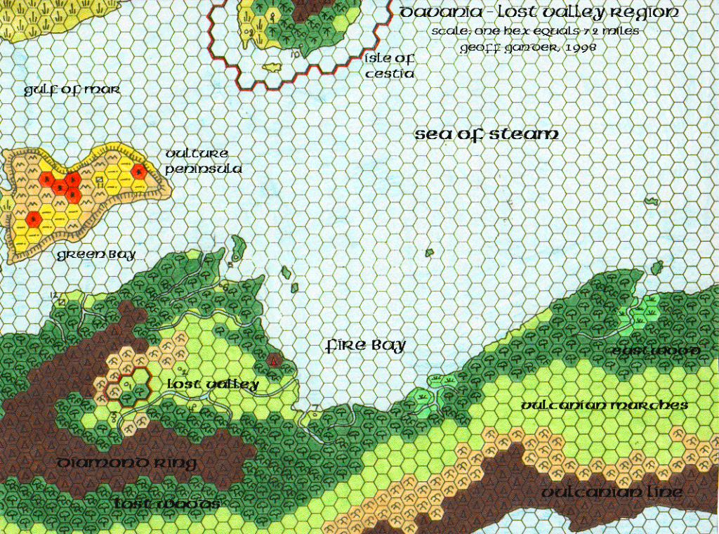
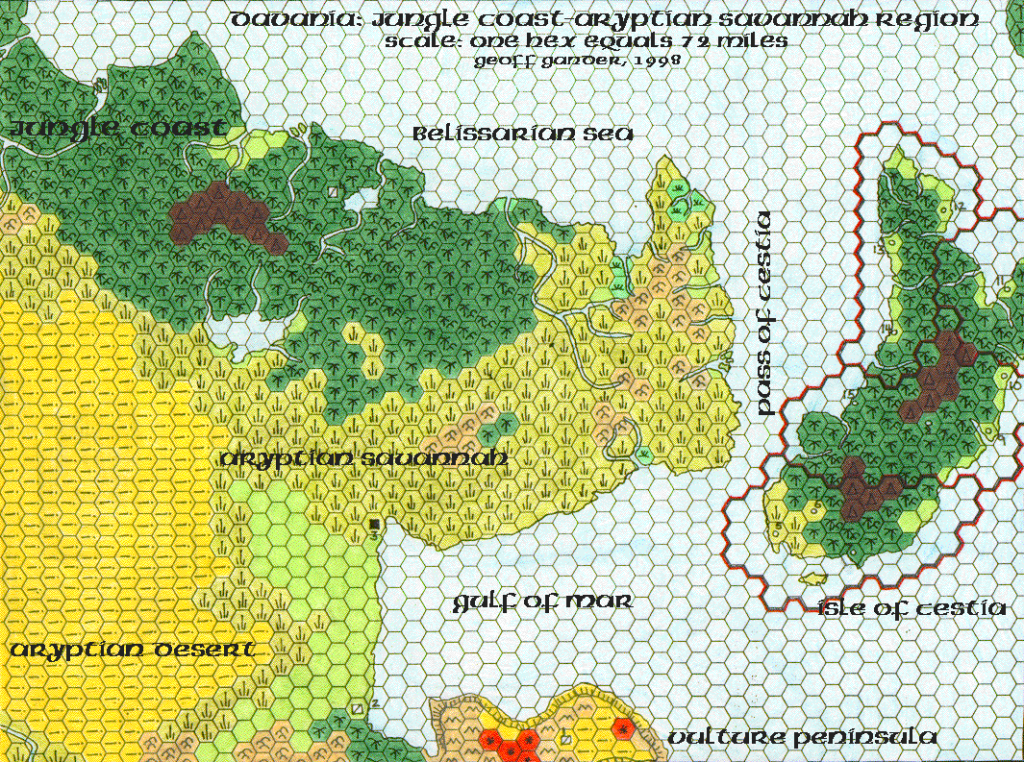
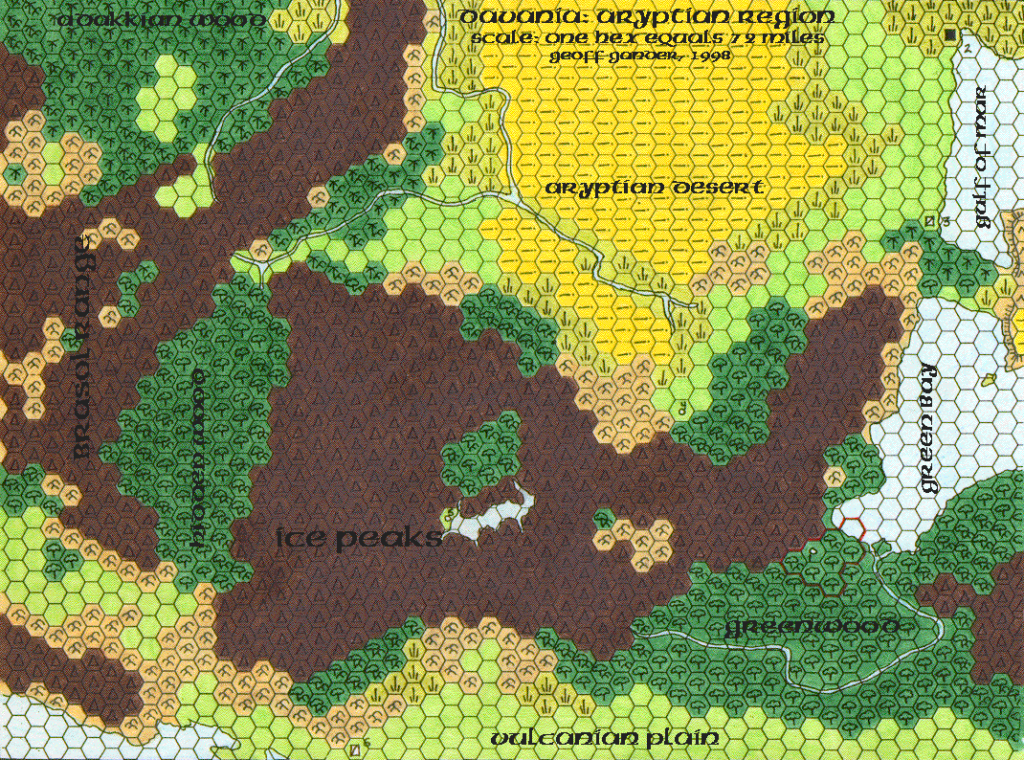
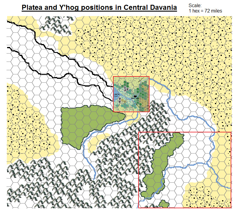
Poor Wizard’s Almanac III Northeastern Davania
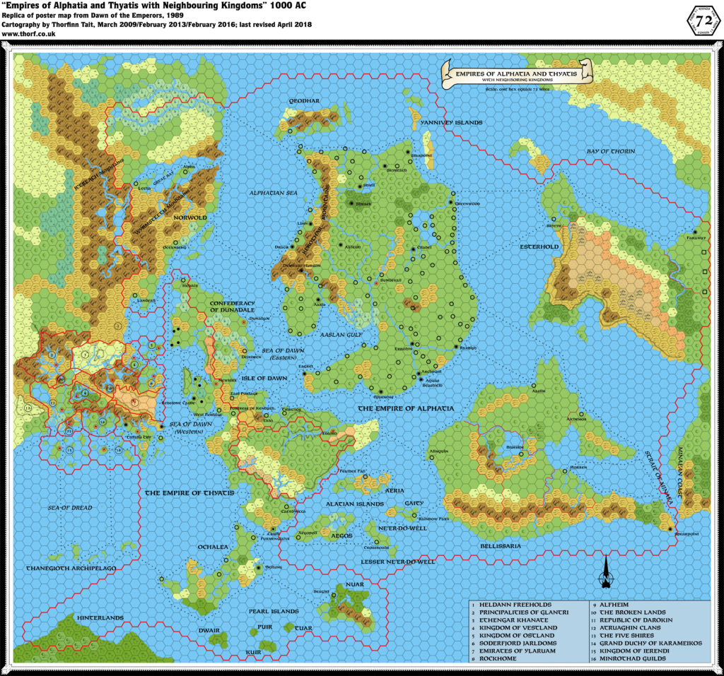
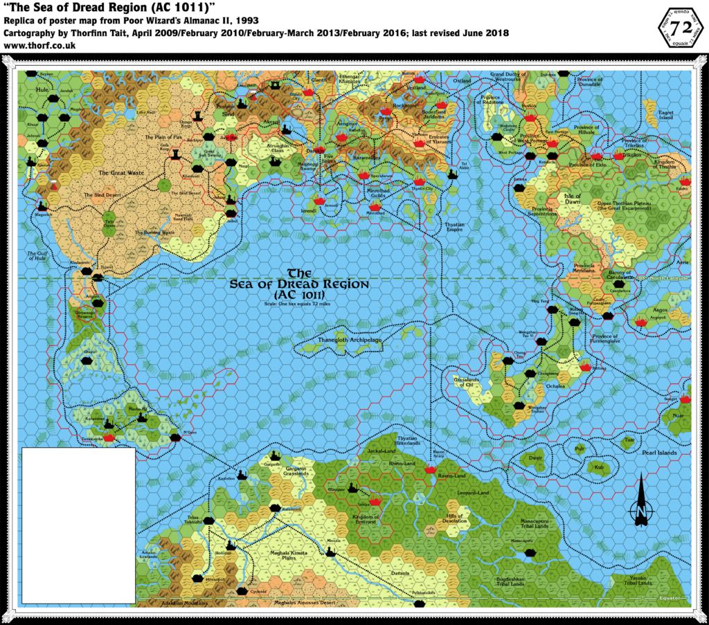
The poster map in Poor Wizard’s Almanac II featured the Sea of Dread Region at 72 miles per hex. This map appeared in Almanac III the next year, and it presented the same section of northeastern Davania in the art style of the Almanac maps. The area covered was rather large for the small printed area, and consequently the map didn’t include anything in the way of new details.
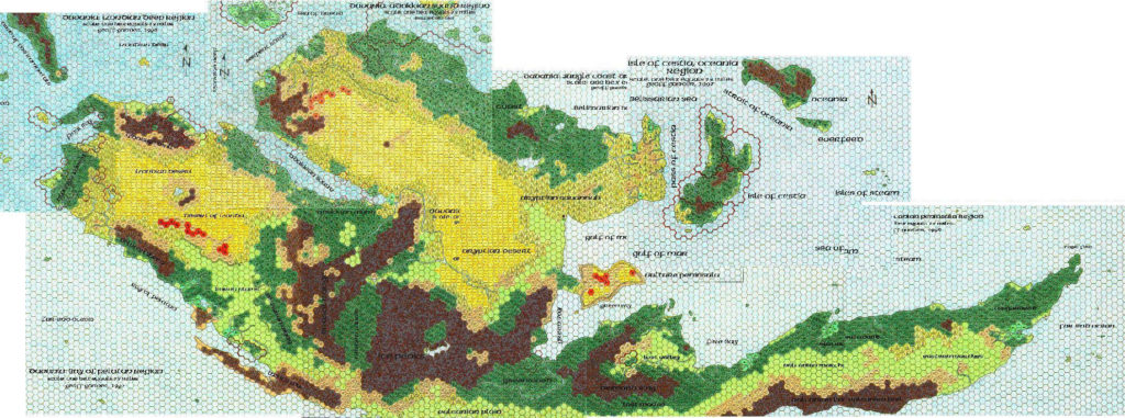
The third Almanac included quite a few maps at this sort of scale, expanding Almanac coverage of the world quite dramatically.
Replica Map (July 2025)
Sources
- Poor Wizard’s Almanac III (1994) (PDF at DriveThruRPG)
- Page 20 map, Cartography by Diesel
References
- New Map: Poor Wizard’s Almanac III Davania post at Patreon
Chronological Analysis
This is Map 265. It was published in December 1994. The updated version of this map has not yet been released. See also Appendix C for annual chronological snapshots of the area. For the full context of this map in Mystara’s publication history, see Let’s Map Mystara 1994.
The following lists are from the Let’s Map Mystara project. Additions are new features, introduced in this map. Revisions are changes to previously-introduced features. Hex Art & Fonts track design elements. Finally, Textual Additions are potential features found in the related text. In most cases, the Atlas adopts these textual additions into updated and chronological maps.
Under Construction! Please check back again soon for updates.
Additions
- XXX —
Revisions
- XXX —
Hex Art & Fonts
- Hex Art —
- Fonts —
Textual Additions (Poor Wizard’s Almanac III, December 1994)
- XXX —

")

