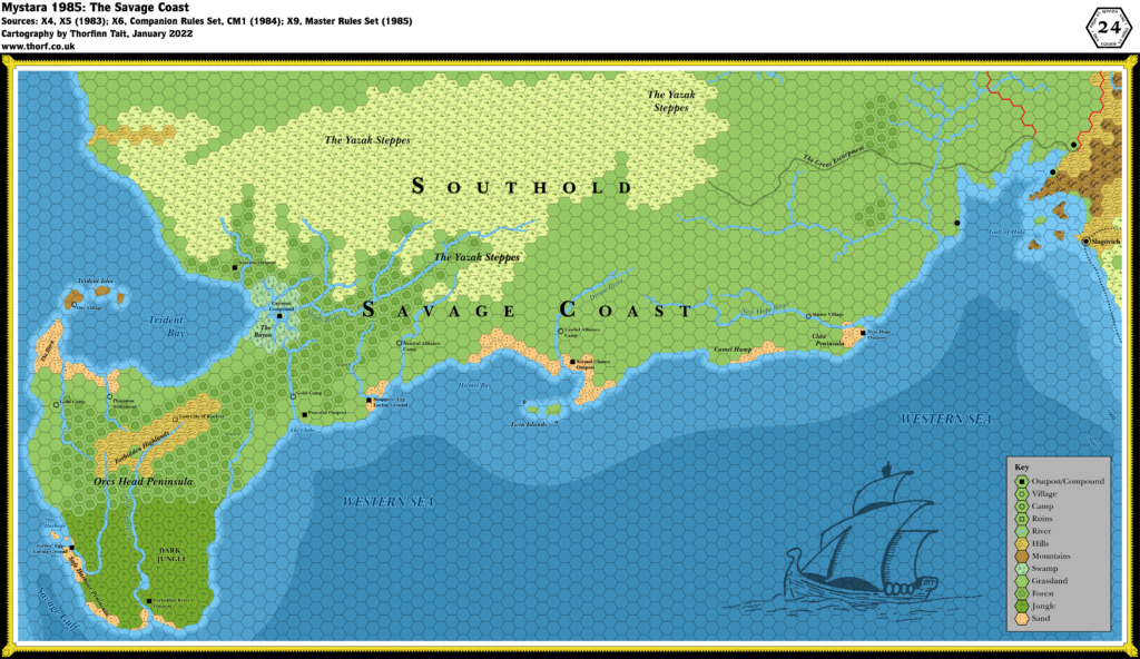
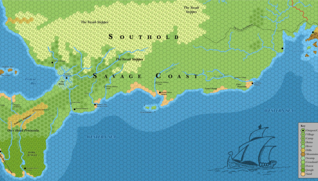
Savage Coast, 24 miles per hex (1985)
This is a redrawn version of Savage Coast, 22.9 miles per hex (1985), rotating and rescaling it to match the other Brun, 24 mile per hex (1985) regional maps. Since everything west of the Gulf of Hule had to be adapted to the slightly different hex grid, this map is not quite as accurate as the original 22.9 mile per hex map. However, it may be useful for those wishing to avoid dealing with (or handwaving) the 22.9 mile per hex scale.
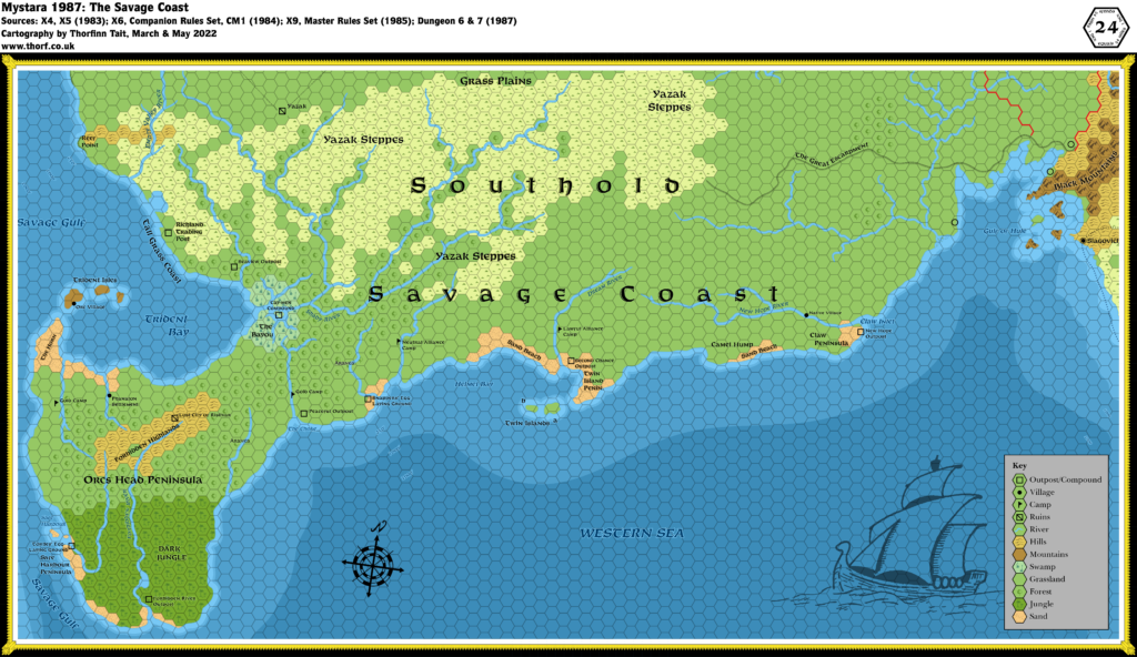
Naturally, future derivations of this area were all based on the 22.9 mile per hex map.
Note: this is a redrawn 24 mile per hex map. For a version based directly on the original 22.9 mile per hex map, see Savage Coast, 22.9 miles per hex (1985).
Chronological Map (January 2022)

This map is part of the Mystara 1985 series of chronological maps. It is an updated map, incorporating all available sources and made internally consistent with other maps in its series. But it only uses sources published in or before 1985.
For more information, see Appendix C: Cartographic Chronology.
Sources
- Mystara 1984
- Master Rules Set (1985) (PDF at DriveThruRPG)
- X9 The Savage Coast (1985) (PDF at DriveThruRPG)
Revisions
For detailed notes, see the posts for each individual source map at the links above.
- Terrain — all the terrain has been redrawn to fit the differently aligned and scaled hex grid, and therefore is slightly different from the original map throughout.
References
- Let’s Map Mystara 1985 — the original project thread for this map
- Let’s Map Mystara Together discussion thread at The Piazza (link leads to this map’s post)
- The Savage Coast at the Vaults of Pandius


