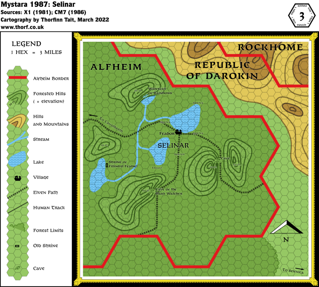
Selinar, 3 miles per hex (1986)
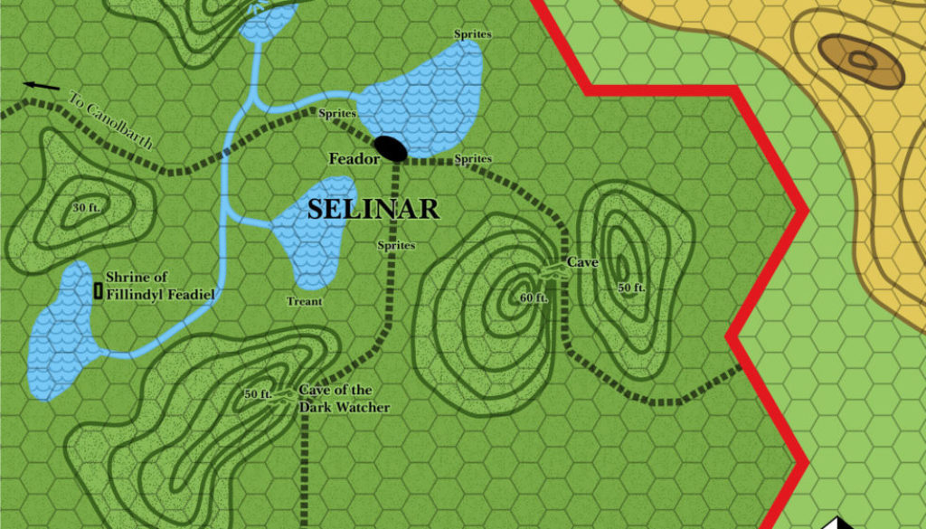
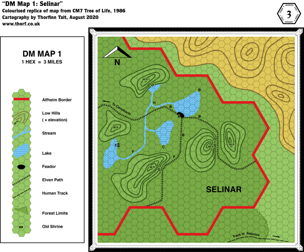
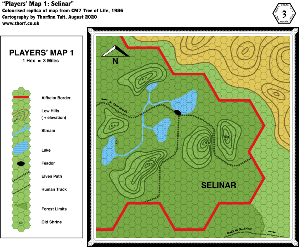
After O2 detailed the Emerlas region in 1985, Bruce Heard chose another area of Alfheim to explore in 1986’s CM7. This map makes the original maps from the module compatible with other 1986 maps, adding the Darokin-Rockhome border and removing the Selenica trail, which lies just off the bottom of the map.
Since the adventure soon moved to the distant Sylvan Realm, there wasn’t as much detail to Selinar, but the iconic hills and lakes originated here.
Chronological Map (February 2022)
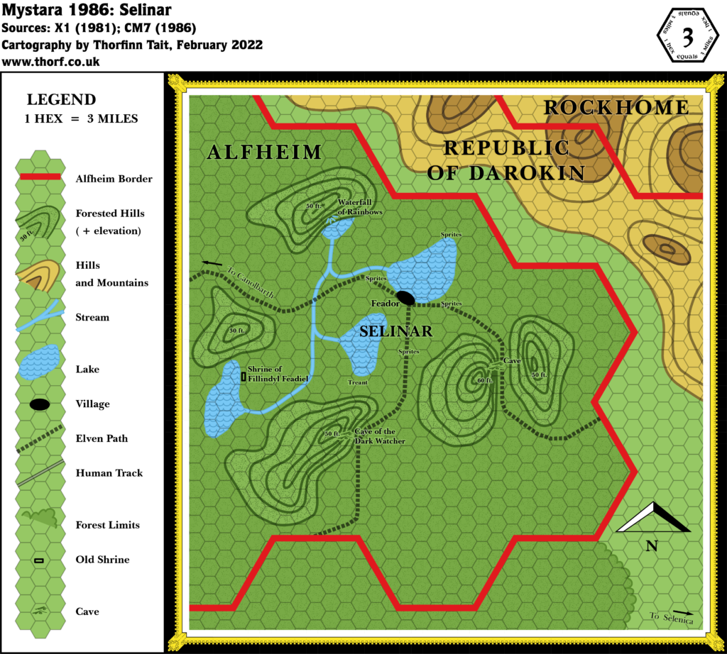
This map is part of the Mystara 1986 series of chronological maps. It is an updated map, incorporating all available sources and made internally consistent with other maps in its series. But it only uses sources published in or before 1986.
For more information, see Appendix C: Cartographic Chronology.
Sources
- Mystara 1985
- CM7 The Tree of Life (1986) (PDF at DriveThruRPG)
Revisions
For detailed notes, see the posts for each individual source map at the links above.
- Borders — CM7 only showed Alfheim’s border. I have brought in the Darokin/Rockhome border, as well as labels for all three nations.
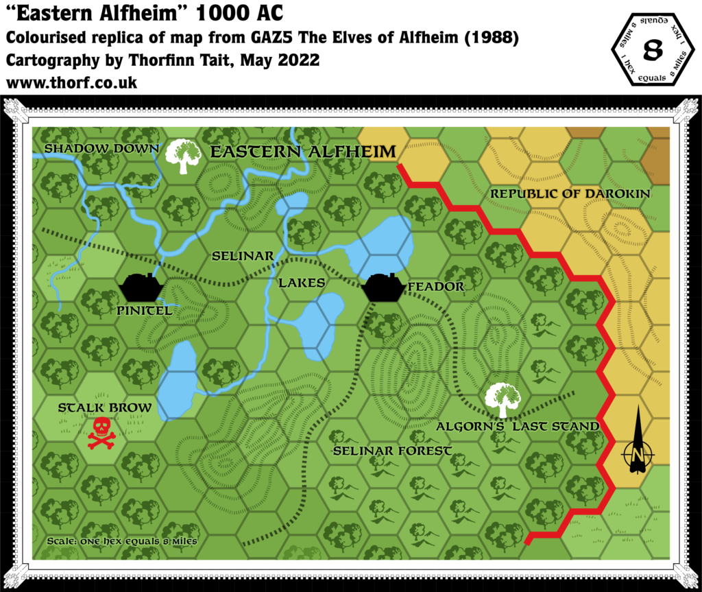
- Roads & Trails — While CM7’s map featured a trail to Selenica in the bottom right corner, X1’s trail (upgraded to a road in X10) lies just off the edge of this map. Technically the scale of CM7’s map (3 miles per hex) outranks X1’s (24 miles per hex), but since it depicts such a tiny section of the trail, I am choosing to stick with X1’s.
- Terrain — The contours marked across the border in Darokin are loosely in line with the smaller scale map, which features a hex of hills followed by mountain hexes in Rockhome. I have therefore coloured the higher elevations as mountains.
References
- Let’s Map Mystara 1986 — the original project thread for this map
- Let’s Map Mystara Together discussion thread at The Piazza (link leads to this map’s post)
- Alfheim/Aengmor at the Vaults of Pandius
Thanks to:
Bruce Heard

