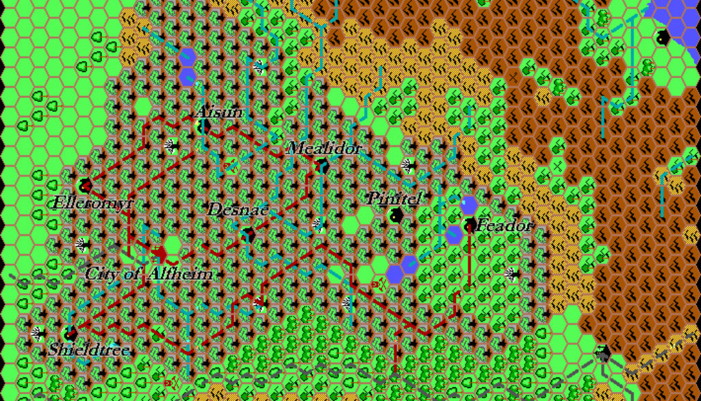
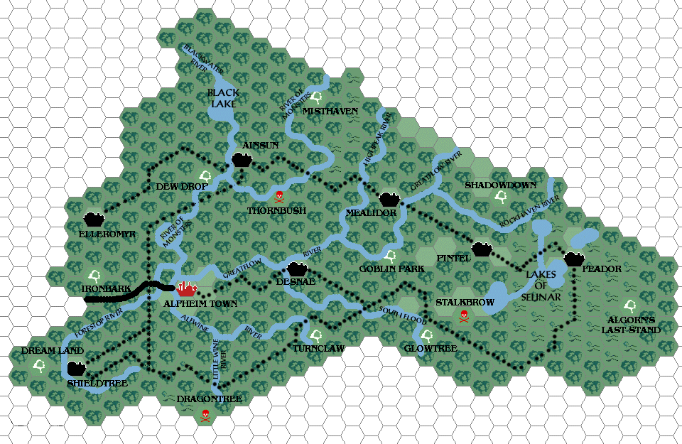
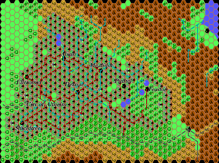
Thibault’s Alfheim, 8 miles per hex v1
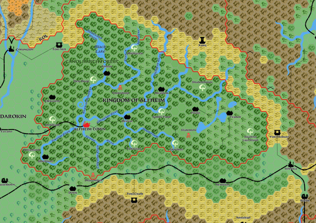
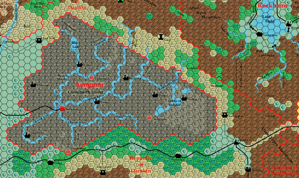
At the same time as he posted his first Karameikos map, Thibault also added an Alfheim map to his site. This map has since been lost. Unlike the Karameikos map, not even a thumbnail remains, although we do have the original Grid file. I have assembled a tentative restored version using the labels from the next version of the map.
The terrain is the star here, as Thibault made the interesting decision of marking the Great Home Trees rather distinctively as a majestic tree on a grey background. It’s a bold design, although the limitations of the palette take away from it somewhat — grey would not usually be the first choice for this kind of nature-themed icon. Still, it does the job of distinguishing it from normal forests very nicely.
The map itself is a nice little view at Thibault’s early Known World mapping. He was beginning to work on surrounding nations, but the top left corner should have the Broken Lands visible, illustrating that this was still a work in progress.
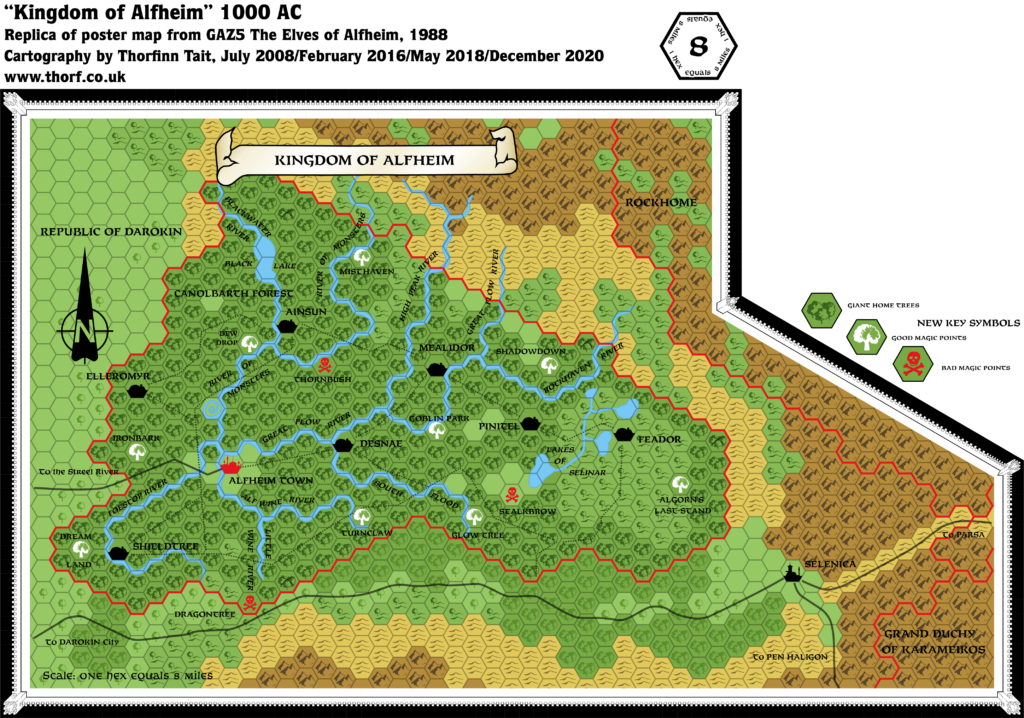
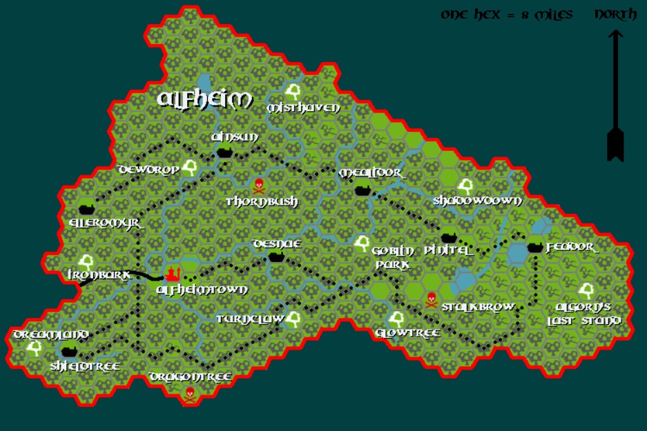
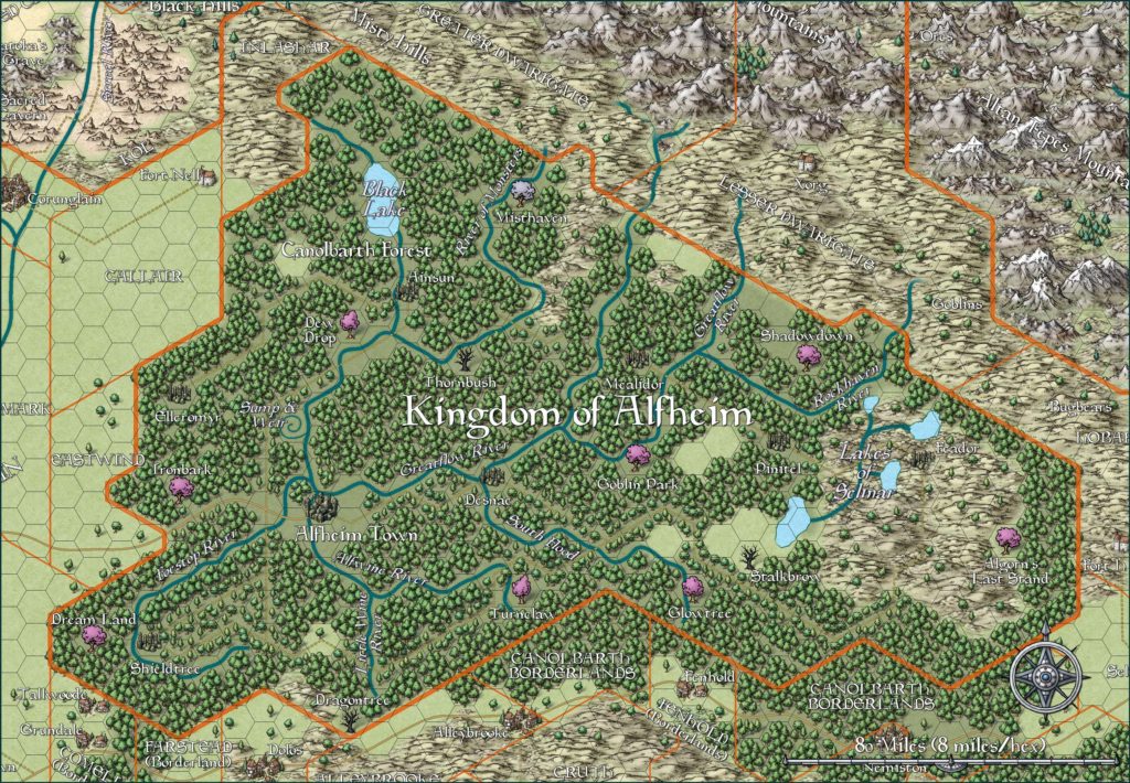
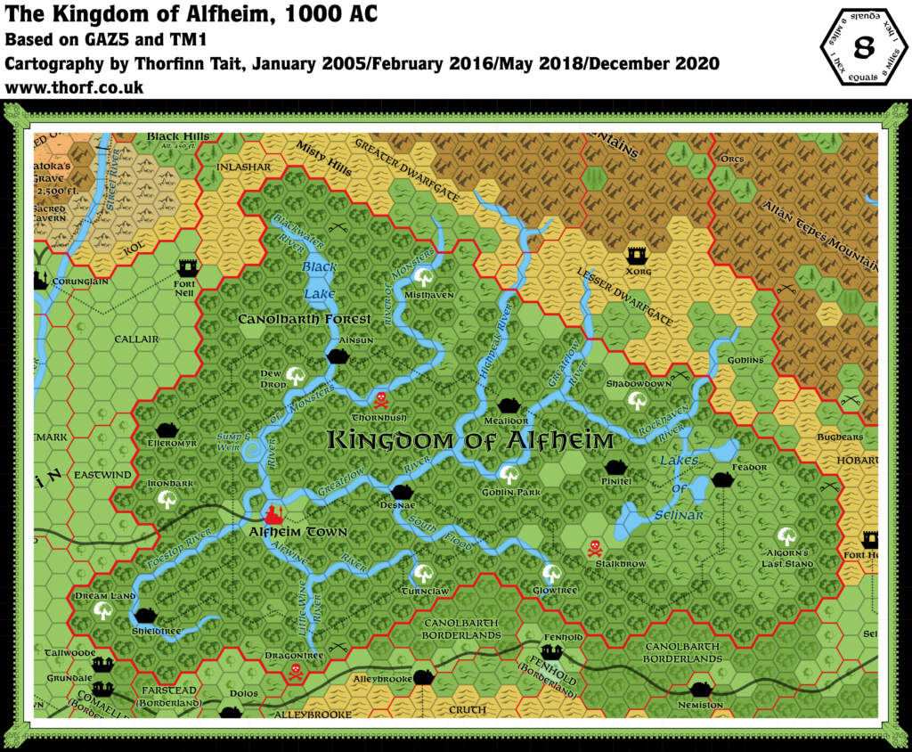
The next version of the map of course would solve all of the problems, while converting it into his new art style.
Fan-made Map by Thibault Sarlat (August 1999)
This is an original map created by one of Mystara’s excellent fan cartographers. For more information on the cartographer, including a gallery of all their maps, see also Appendix M: Mappers of Mystara.
Sources
- GAZ5 The Elves of Alfheim (1988) (PDF at DriveThruRPG)
References
- All of Thibault’s maps at the Atlas of Mystara
- Thibault’s entry in Appendix M: Mappers of Mystara (upcoming)
- Thibault’s author page at the Vaults of Pandius
Chronological Analysis
This is a fan-made map. It was published in August 1999. The updated Atlas version of this map is Alfheim, 8 miles per hex. See also Appendix C for annual chronological snapshots of the area. For the full context of this map in Mystara’s publication history, see the upcoming Let’s Map Mystara 1999.
The following lists are from the Let’s Map Mystara project. Additions are new features, introduced in this map. Revisions are changes to previously-introduced features. Hex Art & Fonts track design elements. Finally, Textual Additions are potential features found in the related text. In most cases, the Atlas adopts these textual additions into updated and chronological maps.
Coming Soon

