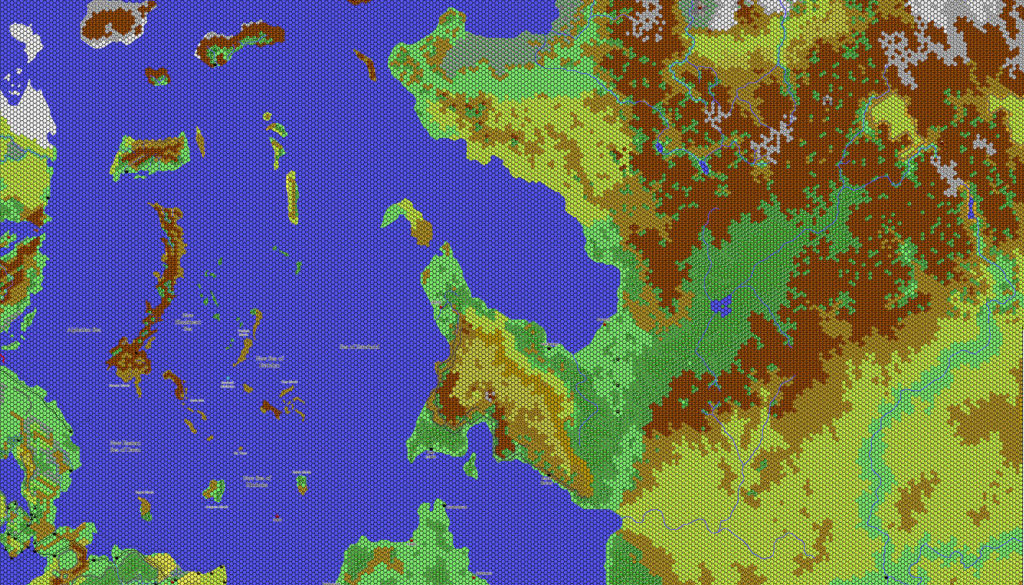
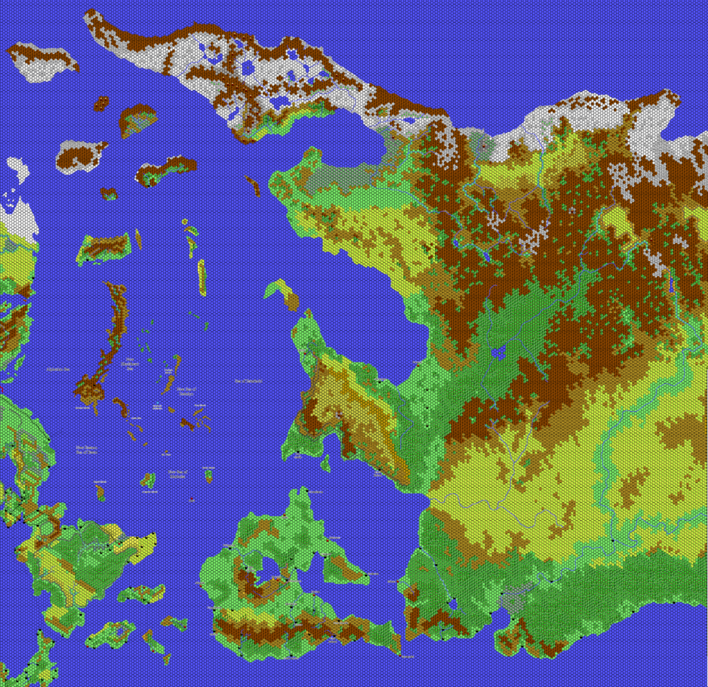
Thibault’s Alphatian Sea 1010 AC, 24 miles per hex
This is the companion to Thibault’s Alphatian Sea, 24 miles per hex. While that map showed the Alphatian Sea area before the events of Wrath of the Immortals, this one shows the aftermath. Using the previous map as a base, Thibault adjusted Alphatia to show its sunken state, adapting from existing maps of the area — including the Poor Wizard’s Almanac series maps as well as his own previous 72 mile per hex map of the area.
This may well have been the first ever map of the area at this scale; though it had previously appeared at 72 miles per hex, no one had yet depicted it in more detail at 24.
This map appeared in the fan-made Mystaran Almanac AC 1019. As such, it is presumably intended to show the area during that year. However, in the absence of political borders, it can equally fit as far back as 1010 AC, just after the sinking of Alphatia. I have therefore tagged it with the earliest possible date: it is valid for 1010 AC and later.
Fan-made Map by Thibault Sarlat (October 2003)
This is an original map created by one of Mystara’s excellent fan cartographers. For more information on the cartographer, including a gallery of all their maps, see also Appendix M: Mappers of Mystara.
Sources
- Dawn of the Emperors (1989) (PDF at DriveThruRPG)
- Wrath of the Immortals (1992) (PDF at DriveThruRPG)
- Poor Wizard’s Almanac (1992)
- Poor Wizard’s Almanac II (1993) (PDF at DriveThruRPG)
- Poor Wizard’s Almanac III (1994)
Fan Sources
- Thibault’s Mystara, 72 miles per hex 2000
- Thibault’s Alphatian Sea, 72 miles per hex (2000)
- Thibault’s Mystara, 24 miles per hex (2002)
- Thibault’s Alphatian Sea, 24 miles per hex (2002)
References
- All of Thibault’s maps at the Atlas of Mystara
- Thibault’s entry in Appendix M: Mappers of Mystara (upcoming)
- Thibault’s author page at the Vaults of Pandius
Chronological Analysis
This is a fan-made map. It was published in 2003. The updated Atlas version of this map is not yet available. See also Appendix C for annual chronological snapshots of the area. For the full context of this map in Mystara’s publication history, see the upcoming Let’s Map Mystara 2003. (Please note that it may be some time before the project reaches this point.)
The following lists are from the Let’s Map Mystara project. Additions are new features, introduced in this map. Revisions are changes to previously-introduced features. Hex Art & Fonts track design elements. Finally, Textual Additions are potential features found in the related text. In most cases, the Atlas adopts these textual additions into updated and chronological maps.
Coming Soon


