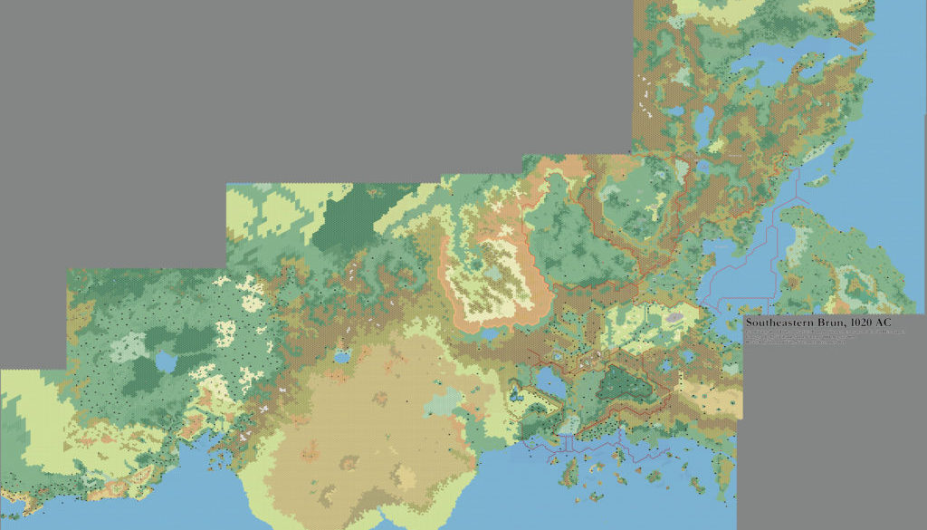
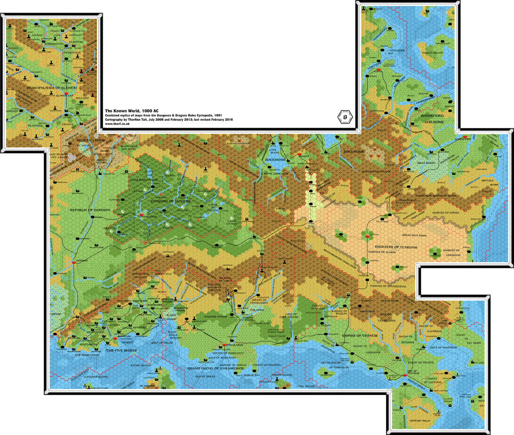
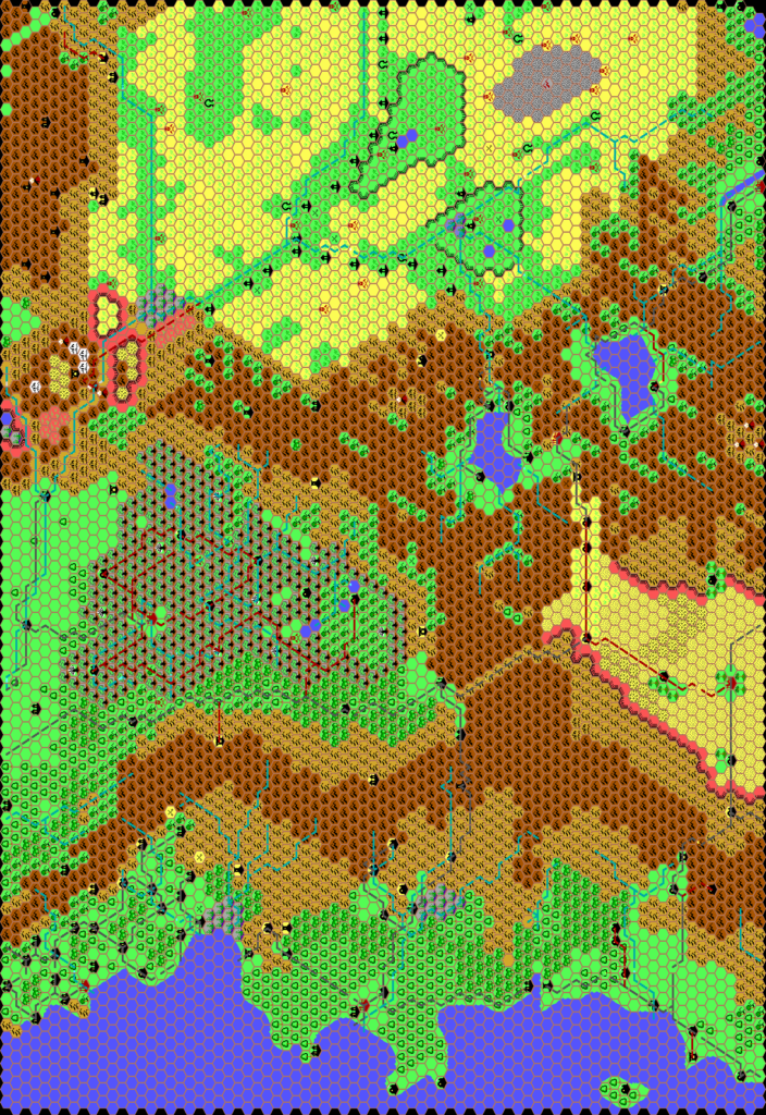
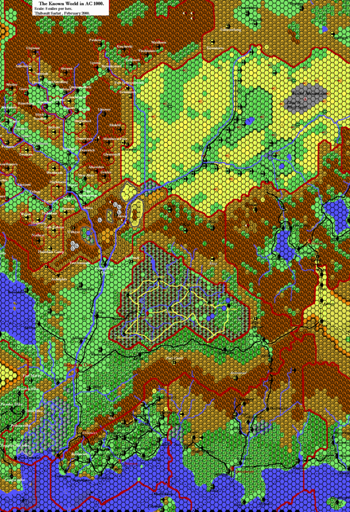
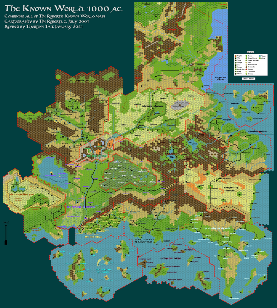
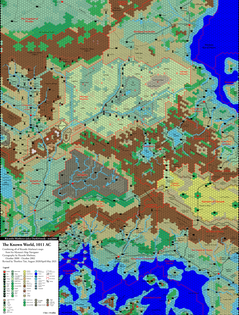
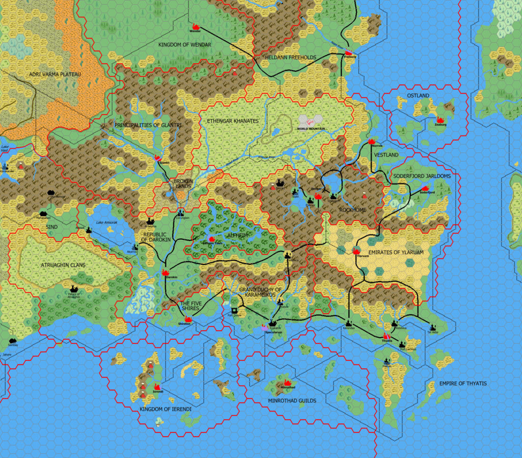
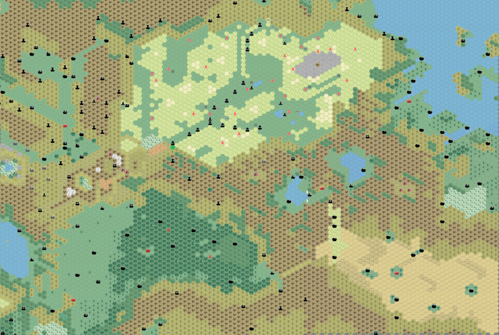
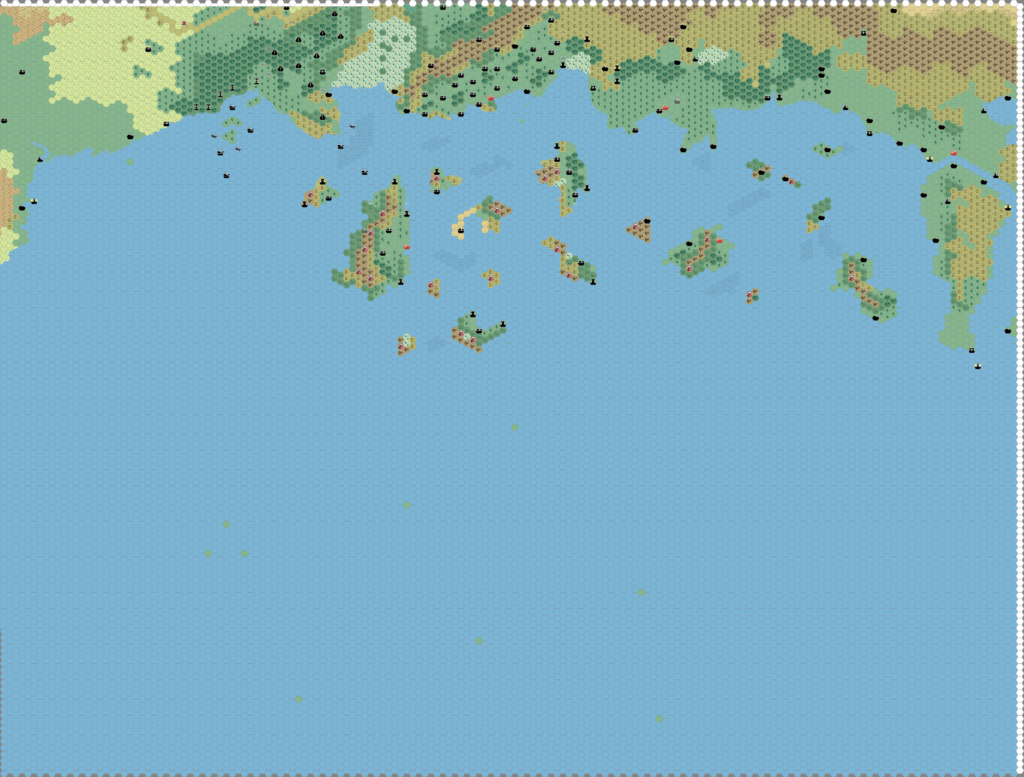
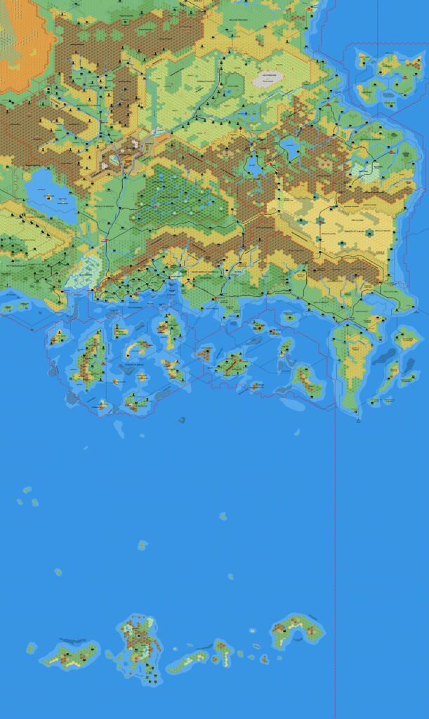
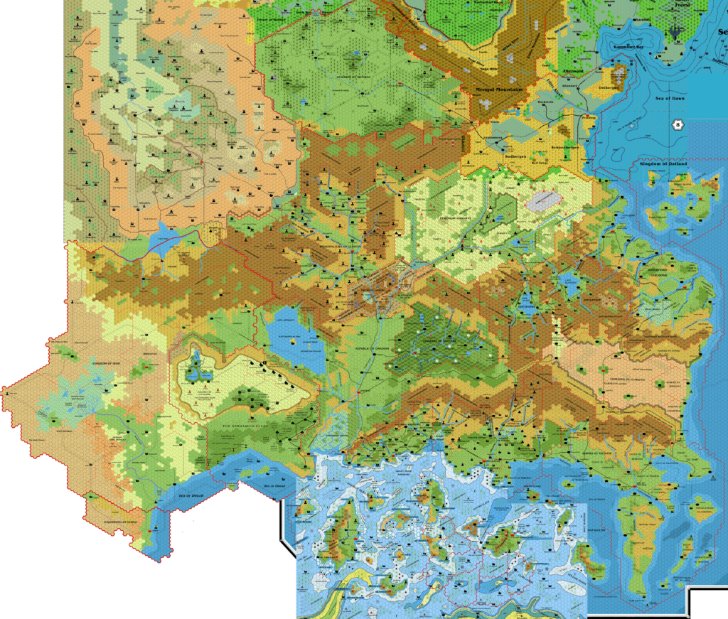
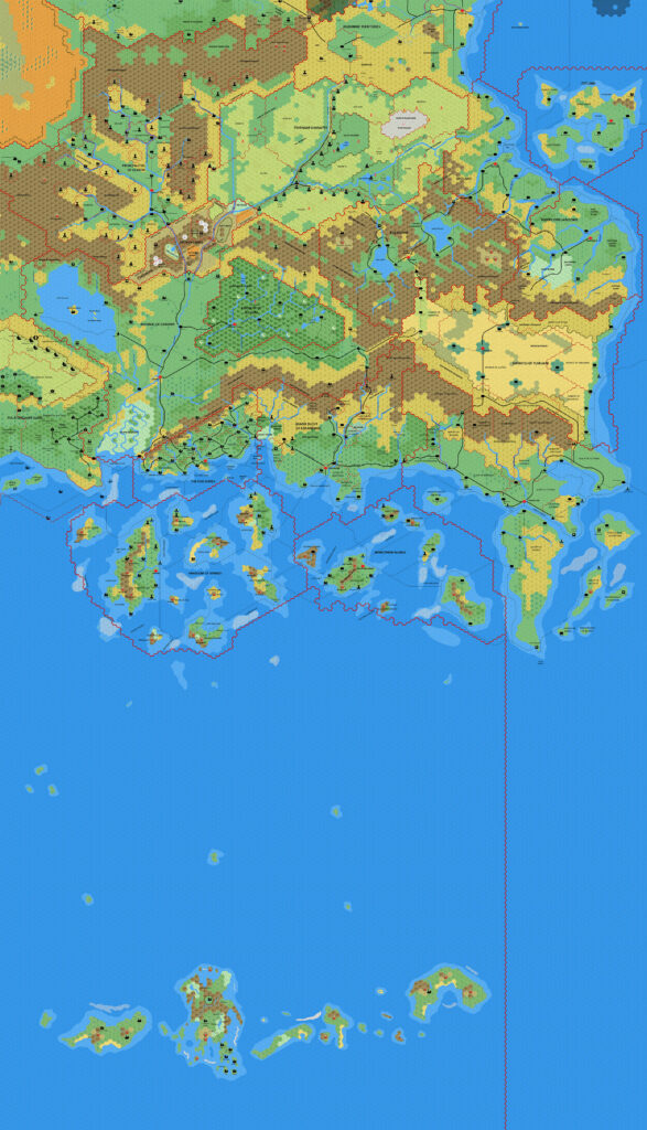
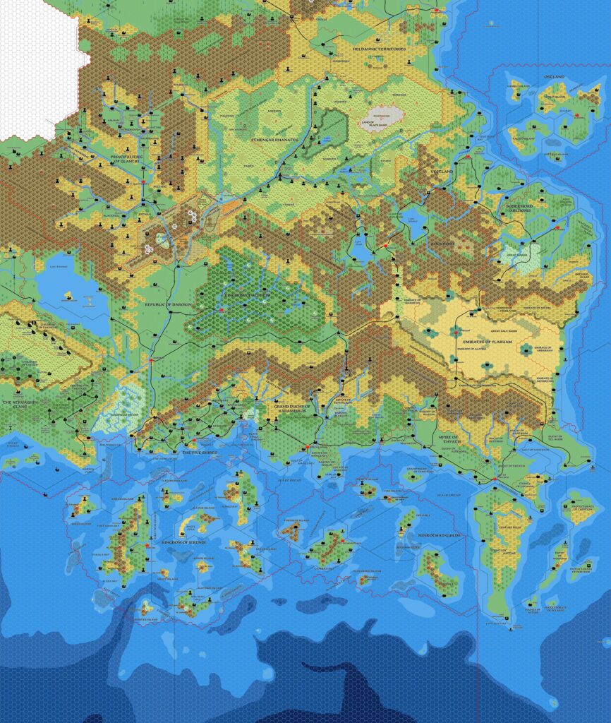
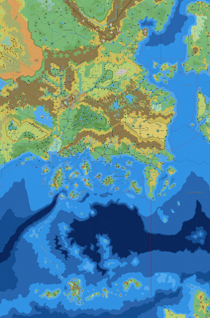
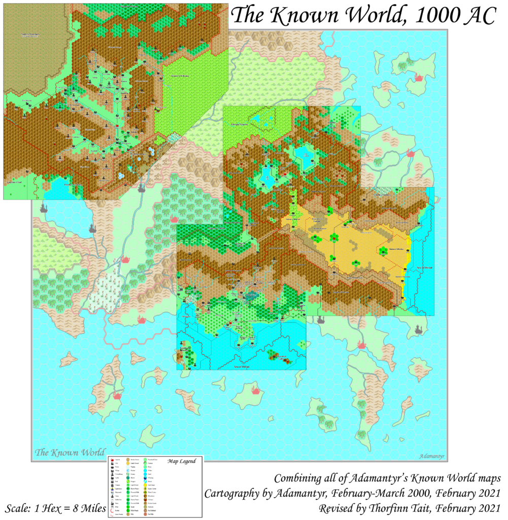
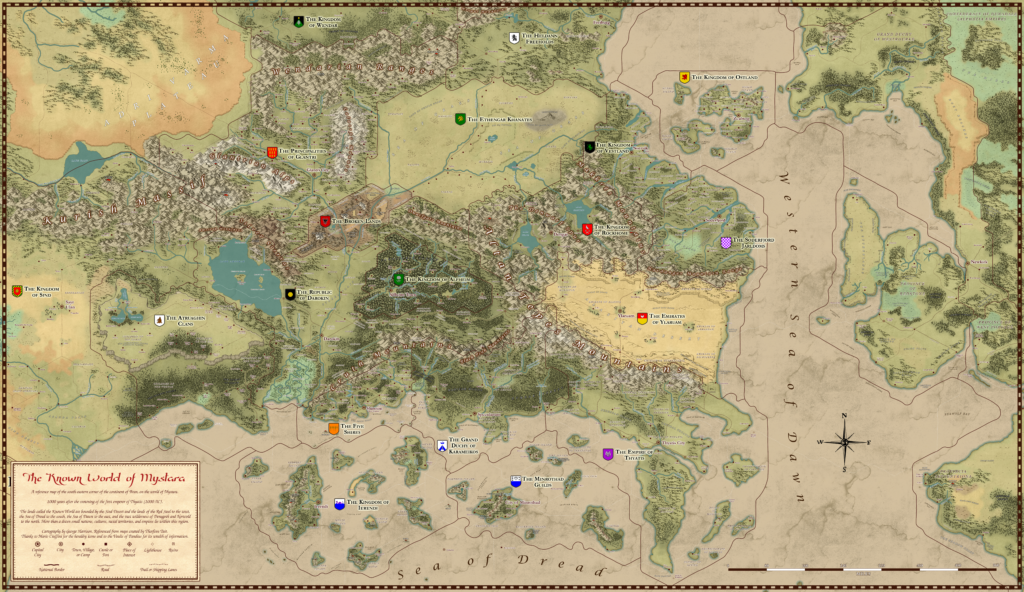
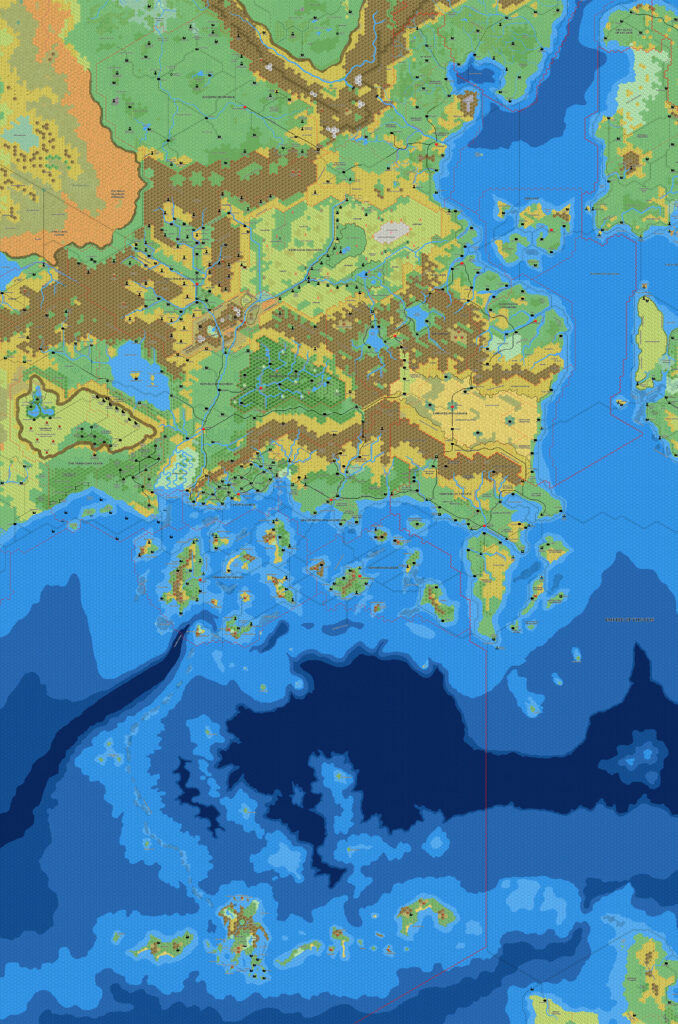
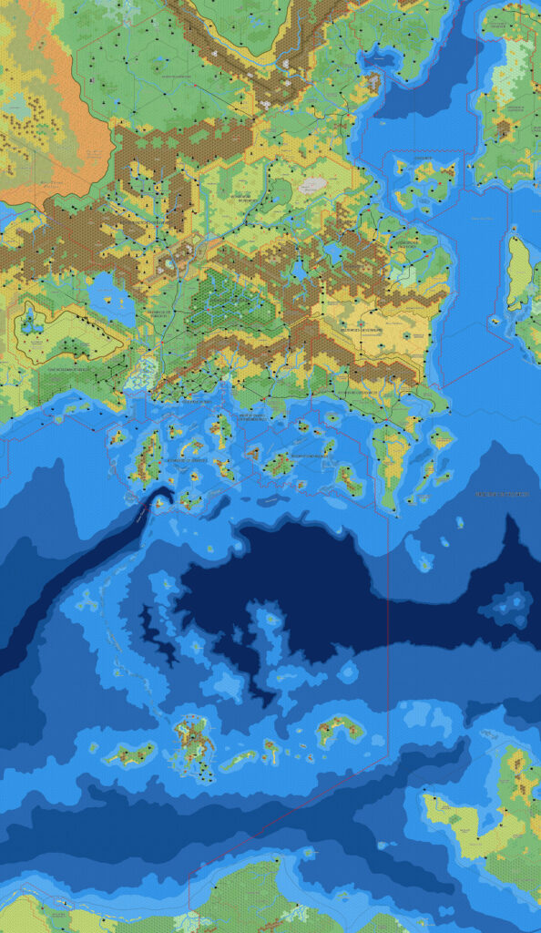
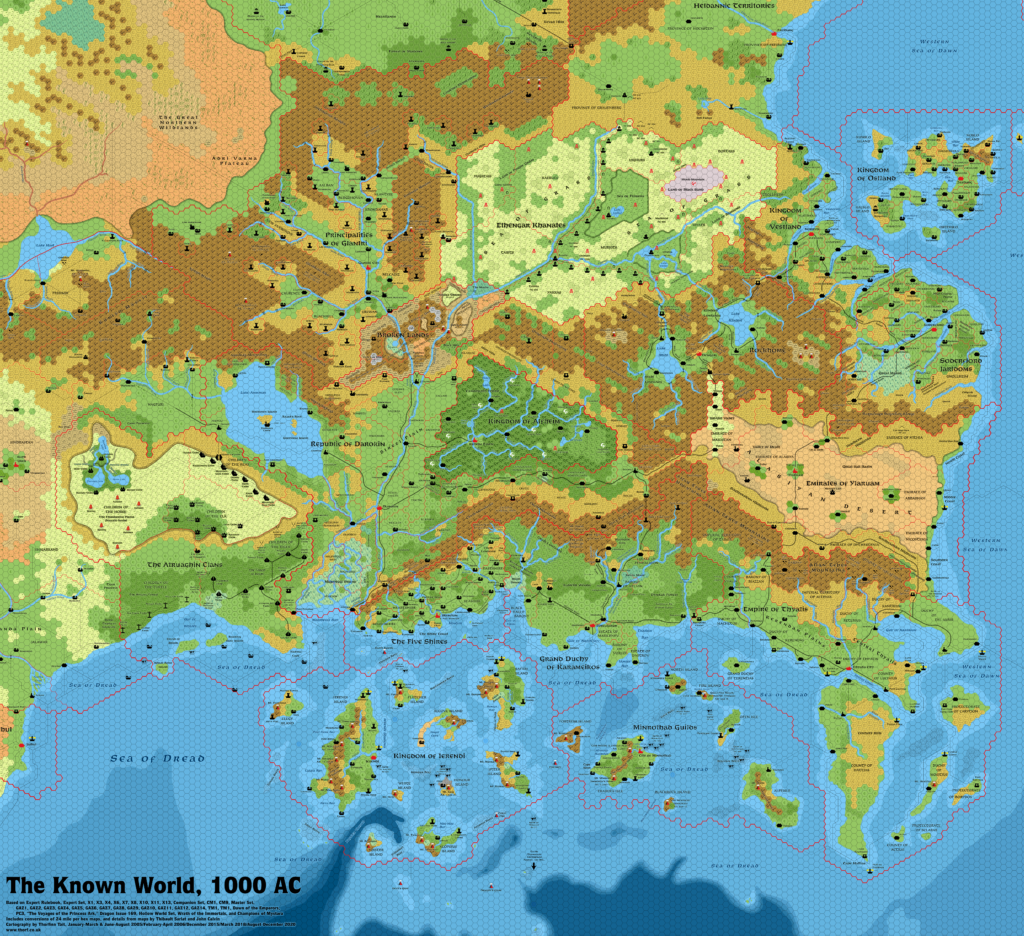
Thibault’s Brun Southeast, 8 miles per hex
I have assembled all of Thibault’s 2004-2005 Hexmapper maps of Brun at this scale into a single contiguous map. Thibault actually put together various chunks of this himself, the biggest being a stretch from the Savage Baronies to Glantri. I have included all of these here, being sure to choose the most detailed available source for each area.
Over those two years, Thibault mapped out a significant portion of the continent, and he was well on the way to converting his previous Grid maps to the new format. Unfortunately, in mid 2005 life took him away from mapping for a while, and he concentrated what time he had on Davania.
The main addition in his Hexmapper era was the Great Waste, which he had never worked on at this scale in Grid. The Great Waste is the gateway between the two extensively mapped regions of the Known World and the Savage Coast. Having it mapped out at 8 miles per hex is essential in assembling a contiguous map like this. Though his mapping in Grid had been extensive, without the Great Waste it was impossible to assemble such a map. Perhaps this is why Thibault assembled so many variations combining the Great Waste with its surrounding areas.
In short, Thibault’s Hexmapper work enabled the assembly of a contiguous map running from the Savage Coast to Norwold for the first time.
It would be wonderful to see it completed someday.
Combining Fan-made Maps by Thibault Sarlat (December 2021)
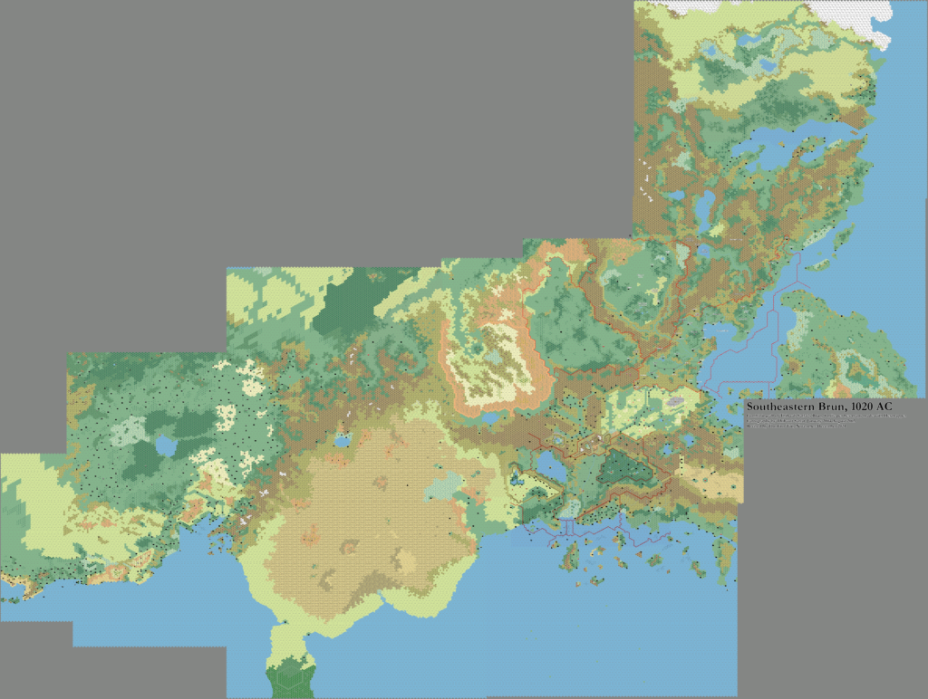
This is a composite of original maps created by one of Mystara’s excellent fan cartographers. For more information on the cartographer, including a gallery of all their maps, see also Appendix M: Mappers of Mystara.
Work in progress map: This map is incomplete. It appears here in the most recent state available, but it may be missing certain elements.
Sources
- GAZ1 The Grand Duchy of Karameikos (1987) (PDF at DriveThruRPG)
- GAZ2 The Emirates of Ylaruam (1987) (PDF at DriveThruRPG)
- GAZ3 The Principalities of Glantri (1987) (PDF at DriveThruRPG)
- GAZ4 The Kingdom of Ierendi (1987) (PDF at DriveThruRPG)
- GAZ5 The Elves of Alfheim (1988) (PDF at DriveThruRPG)
- GAZ6 The Dwarves of Rockhome (1988) (PDF at DriveThruRPG)
- GAZ7 The Northern Reaches (1988) (PDF at DriveThruRPG)
- GAZ8 The Five Shires (1988) (PDF at DriveThruRPG)
- GAZ9 The Minrothad Guilds (1988) (PDF at DriveThruRPG)
- GAZ10 The Orcs of Thar (1989) (PDF at DriveThruRPG)
- GAZ11 The Republic of Darokin (1989) (PDF at DriveThruRPG)
- GAZ12 The Golden Khan of Ethengar (1989) (PDF at DriveThruRPG)
- GAZ14 The Atruaghin Clans (1991) (PDF at DriveThruRPG)
- Dawn of the Emperors (1989) (PDF at DriveThruRPG)
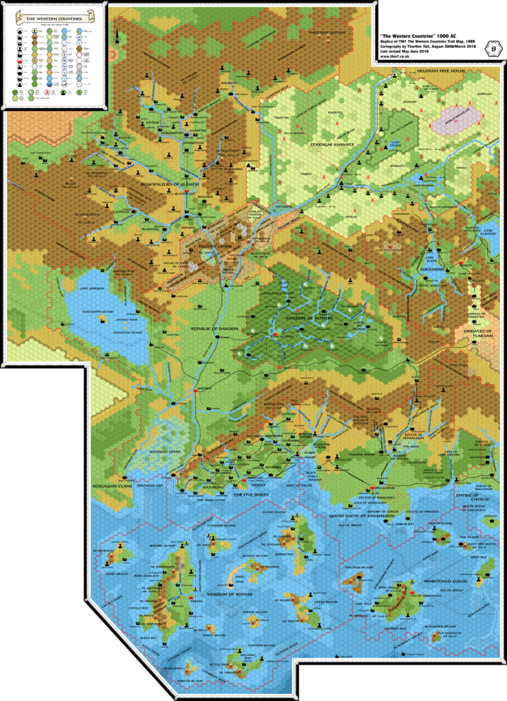
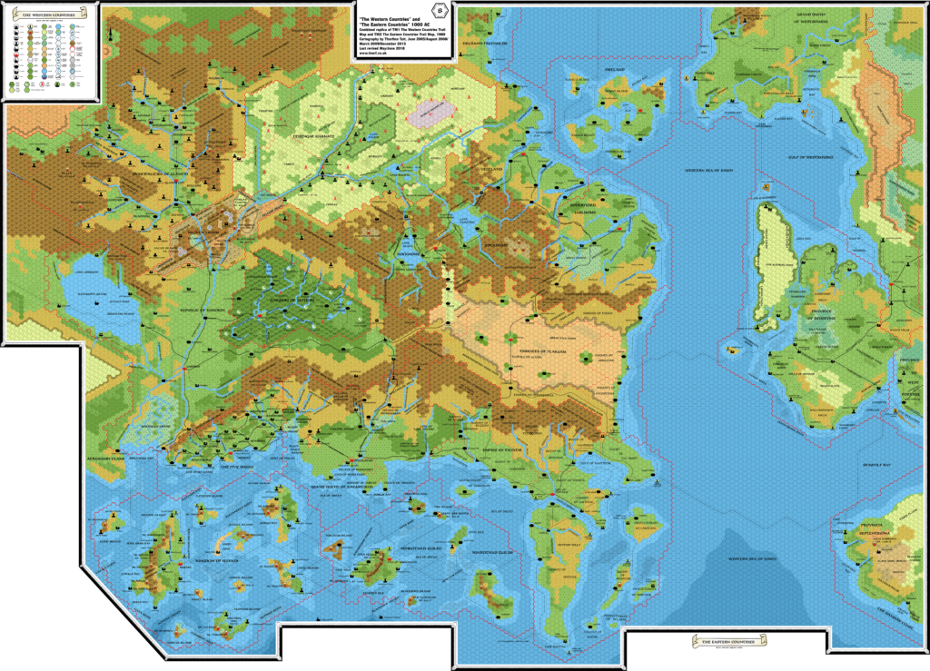
- TM1 The Western Countries (1989)
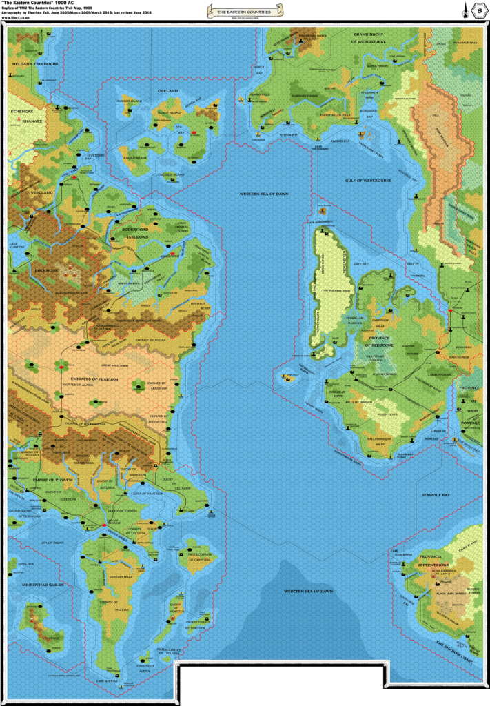
- TM2 The Eastern Countries (1989) (PDF at DriveThruRPG)
- X4 Master of the Desert Nomads (1983) (PDF at DriveThruRPG)
- X5 Temple of Death (1983) (PDF at DriveThruRPG)
- Companion Rules Set (1984) (PDF at DriveThruRPG)
- Master Rules Set (1985) (PDF at DriveThruRPG)
- Hollow World Campaign Set (1990) (PDF at DriveThruRPG)
- Outer World Planetary Map
- Champions of Mystara (1993) (PDF at DriveThruRPG)
Fan Sources
- Thibault’s Darokin, 8 miles per hex v2 (2004)
- Thibault’s Heldann, 8 miles per hex v4 (2004)
- Thibault’s Adri Varma, 8 miles per hex v2 (2005)
- Thibault’s Black Mountains, 8 miles per hex (2005)
- Thibault’s Great Waste, 8 miles per hex (2005)
- Thibault’s Gulf of Hule Area, 8 miles per hex (2005)
- Thibault’s Hule and the Great Waste, 8 miles per hex (2005)
- Thibault’s Known World and the Great Waste, 8 miles per hex (2005)
- Thibault’s Known World North, 8 miles per hex (2005)
- Thibault’s Known World South, 8 miles per hex (2005)
- Thibault’s Norwold North, 8 miles per hex (2005)
- Thibault’s Norwold South, 8 miles per hex (2005)
- Thibault’s Savage Coast East, 8 miles per hex (2005)
- Thibault’s Wendar, 8 miles per hex v3 (2005)
References
- All of Thibault’s maps at the Atlas of Mystara
- Thibault’s entry in Appendix M: Mappers of Mystara (upcoming)
- Thibault’s author page at the Vaults of Pandius
Chronological Analysis
This is a fan-made map. Its constituent maps were published in 2004–2005, while the combined map was published in 2021. The updated Atlas version of part of this map is Known World, 8 miles per hex; the rest is not available yet. See also Appendix C for annual chronological snapshots of the area. For the full context of this map in Mystara’s publication history, see the upcoming Let’s Map Mystara 2004-2005. (Please note that it may be some time before the project reaches this point.)
The following lists are from the Let’s Map Mystara project. Additions are new features, introduced in this map. Revisions are changes to previously-introduced features. Hex Art & Fonts track design elements. Finally, Textual Additions are potential features found in the related text. In most cases, the Atlas adopts these textual additions into updated and chronological maps.
Coming Soon

