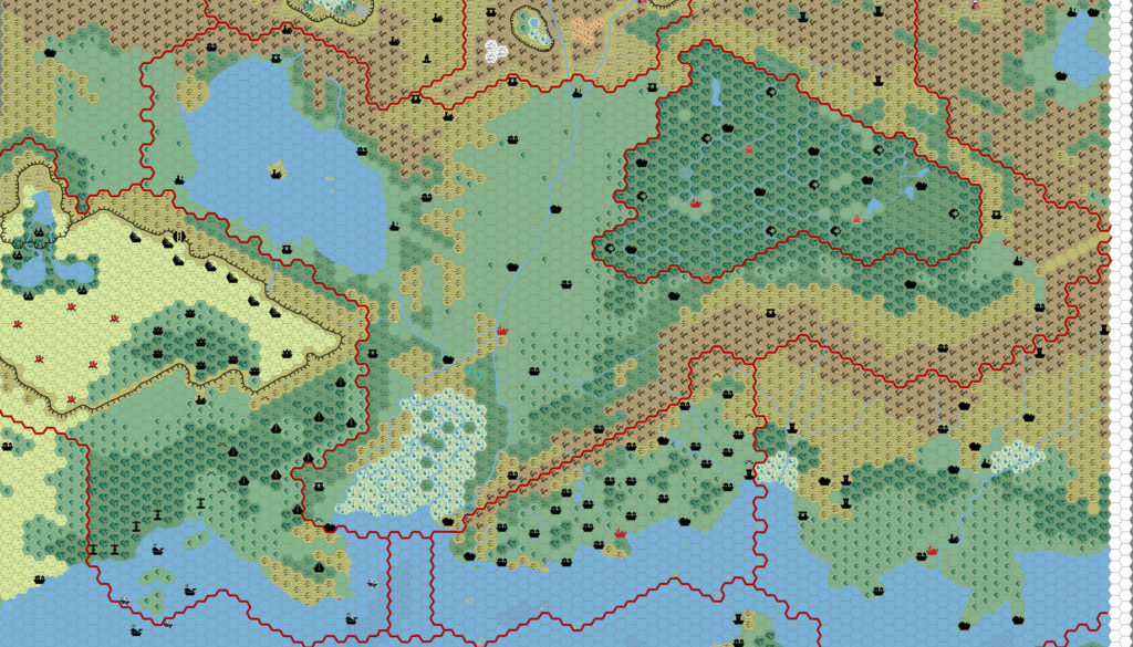
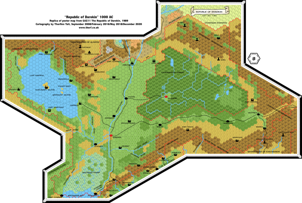
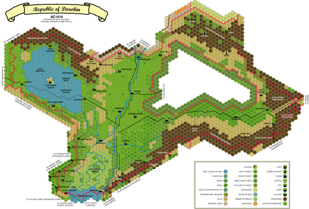
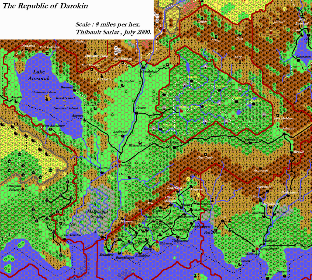
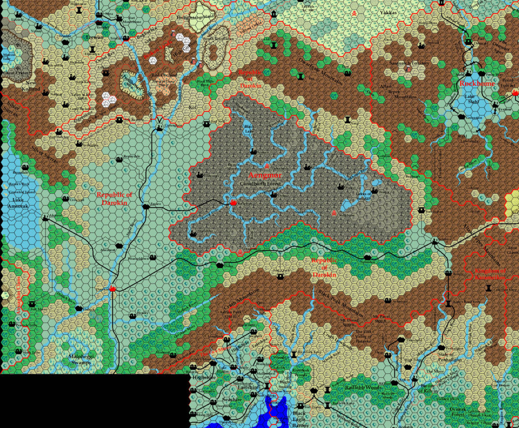
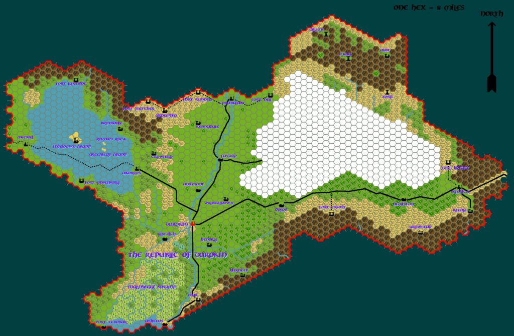
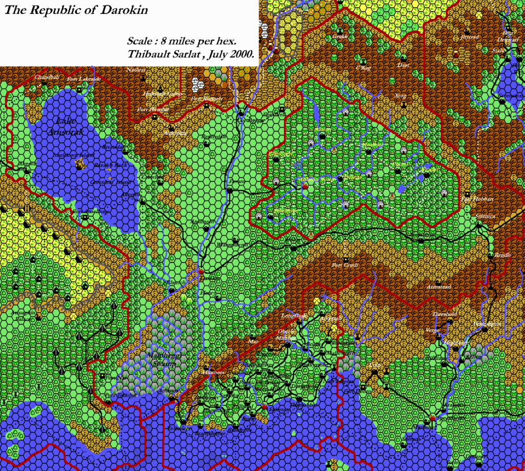
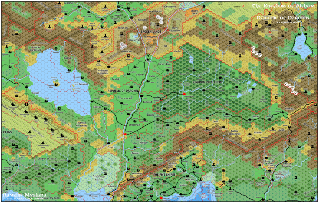
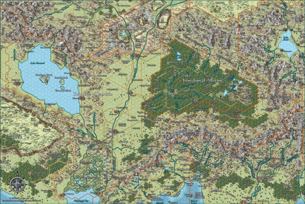
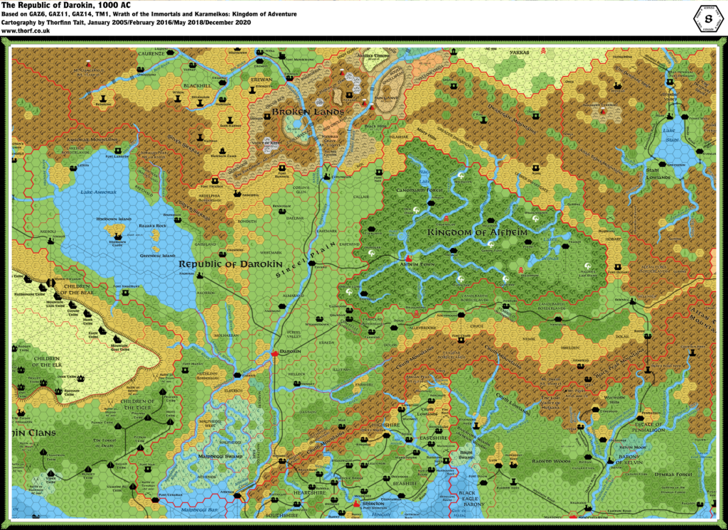
Thibault’s Darokin, 8 miles per hex v2
Next on Thibault’s list of Hexmapper revisions was Darokin, which he had previously mapped back in 2000 and edited in 2001. Of course, any map of Darokin necessarily ends up including much of the Known World, and this one is no exception. Alfheim and the Five Shires appear in full, as does most of Atruaghin, Karameikos, and the Broken Lands, as well as parts of at least five other nations. So really this map covers a large section of the Known World.
As with Thibault’s other Hexmapper maps, he brought it to a high degree of completion, and the only thing it seems to be missing is labels. Moreover, in making this map he came up with a system of layers to hold all of the overlay elements. Although the finished map doesn’t look any different, this can be considered a form of future-proofing, as future edits to the map could be made to just a single layer, without disturbing anything else. It’s an essential part of efficient mapping techniques, and I imagine that Thibault was surely revelling in the technological advances that were at last catching up with what he had wanted to do since he started mapping in 1997.
One interesting feature of this map is that it includes a mix of 1000 AC and 1010 AC: Alfheim is still present, but so is the Great Crater.
Fan-made Map by Thibault Sarlat (December 2004)
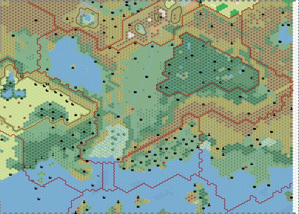
This is an original map created by one of Mystara’s excellent fan cartographers. For more information on the cartographer, including a gallery of all their maps, see also Appendix M: Mappers of Mystara.
Sources
- GAZ1 The Grand Duchy of Karameikos (1987) (PDF at DriveThruRPG)
- GAZ3 The Principalities of Glantri (1987) (PDF at DriveThruRPG)
- GAZ4 The Kingdom of Ierendi (1987) (PDF at DriveThruRPG)
- GAZ5 The Elves of Alfheim (1988) (PDF at DriveThruRPG)
- GAZ6 The Dwarves of Rockhome (1988) (PDF at DriveThruRPG)
- GAZ8 The Five Shires (1988) (PDF at DriveThruRPG)
- GAZ10 The Orcs of Thar (1989) (PDF at DriveThruRPG)
- GAZ11 The Republic of Darokin (1989) (PDF at DriveThruRPG)
- GAZ12 The Golden Khan of Ethengar (1989) (PDF at DriveThruRPG)
- GAZ14 The Atruaghin Clans (1991) (PDF at DriveThruRPG)
Fan Sources
- Thibault’s Darokin, 8 miles per hex v1 (2000-2001)
References
- All of Thibault’s maps at the Atlas of Mystara
- Thibault’s entry in Appendix M: Mappers of Mystara (upcoming)
- Thibault’s author page at the Vaults of Pandius
Chronological Analysis
This is a fan-made map. It was published in 2004. The updated Atlas version of this map is Darokin, 8 miles per hex. See also Appendix C for annual chronological snapshots of the area. For the full context of this map in Mystara’s publication history, see the upcoming Let’s Map Mystara 2004.
The following lists are from the Let’s Map Mystara project. Additions are new features, introduced in this map. Revisions are changes to previously-introduced features. Hex Art & Fonts track design elements. Finally, Textual Additions are potential features found in the related text. In most cases, the Atlas adopts these textual additions into updated and chronological maps.
Coming Soon

