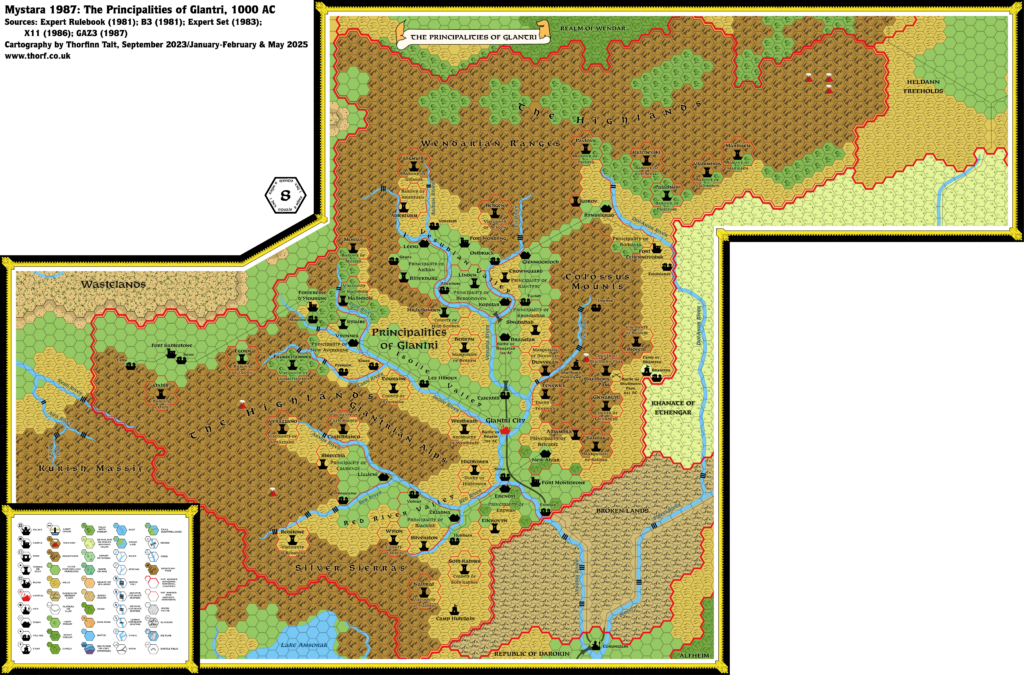
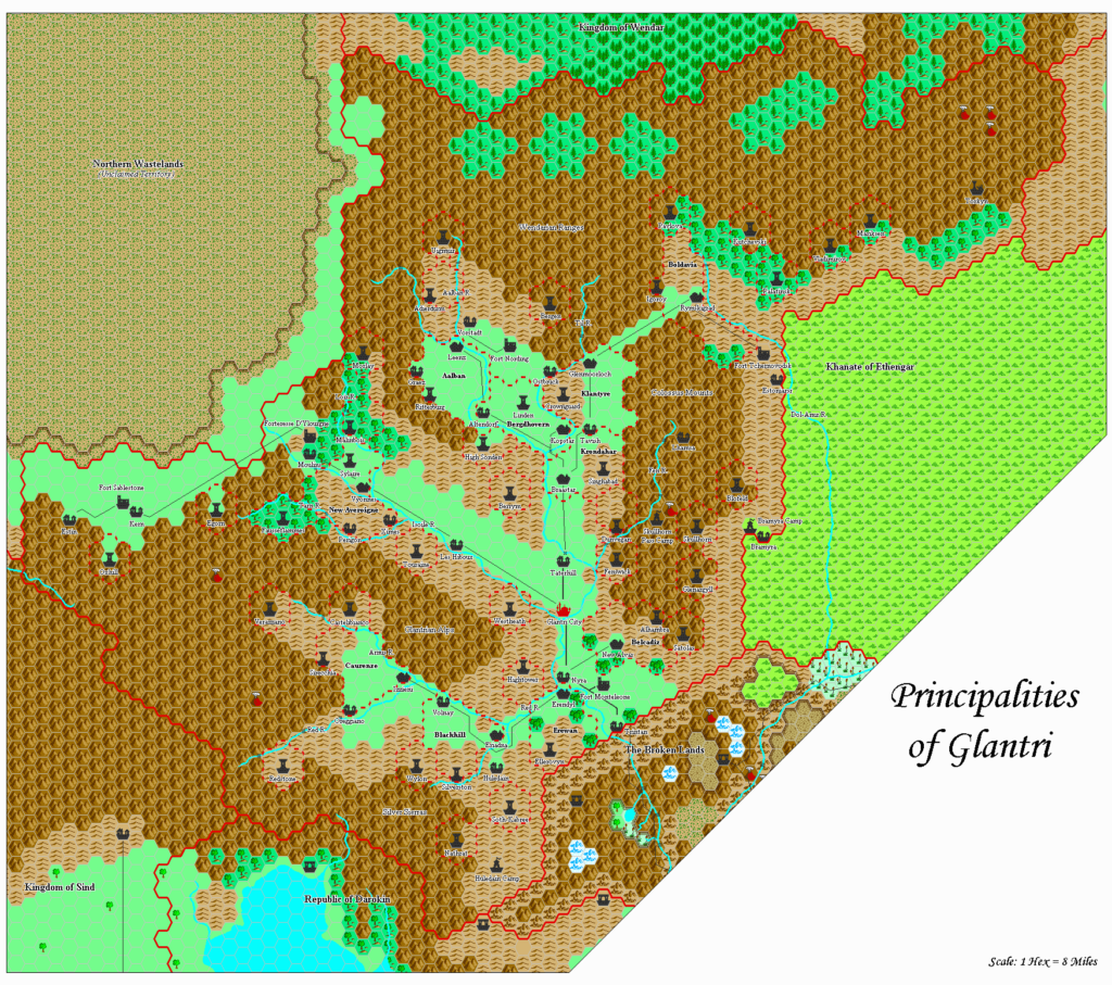
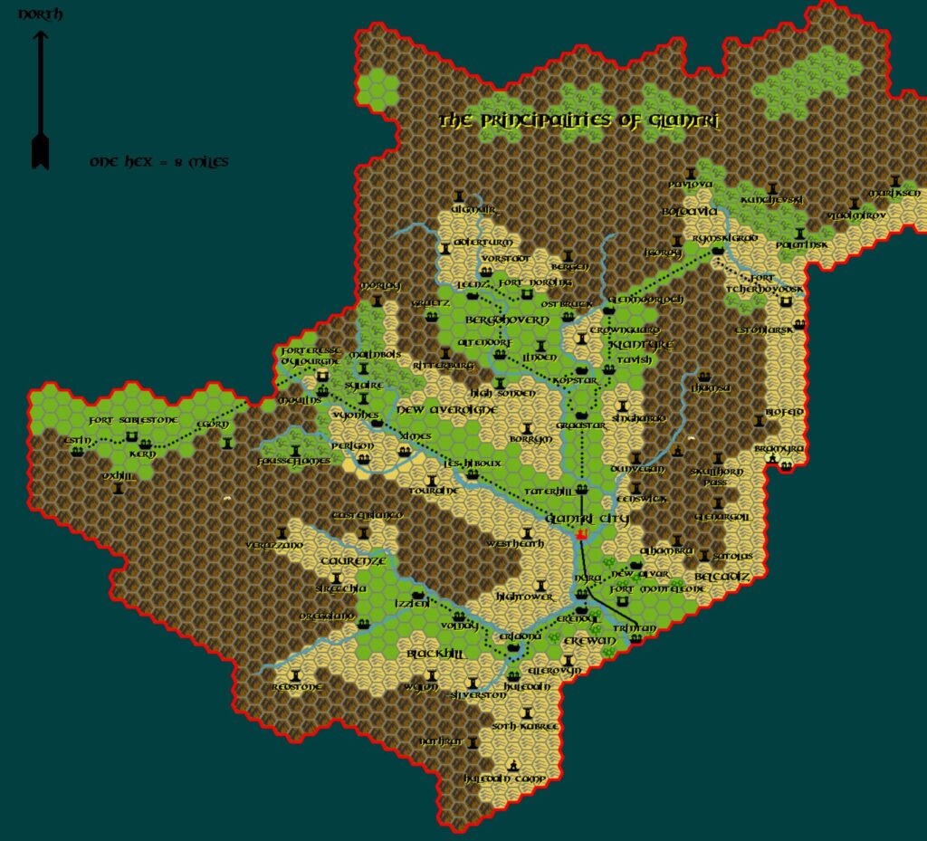
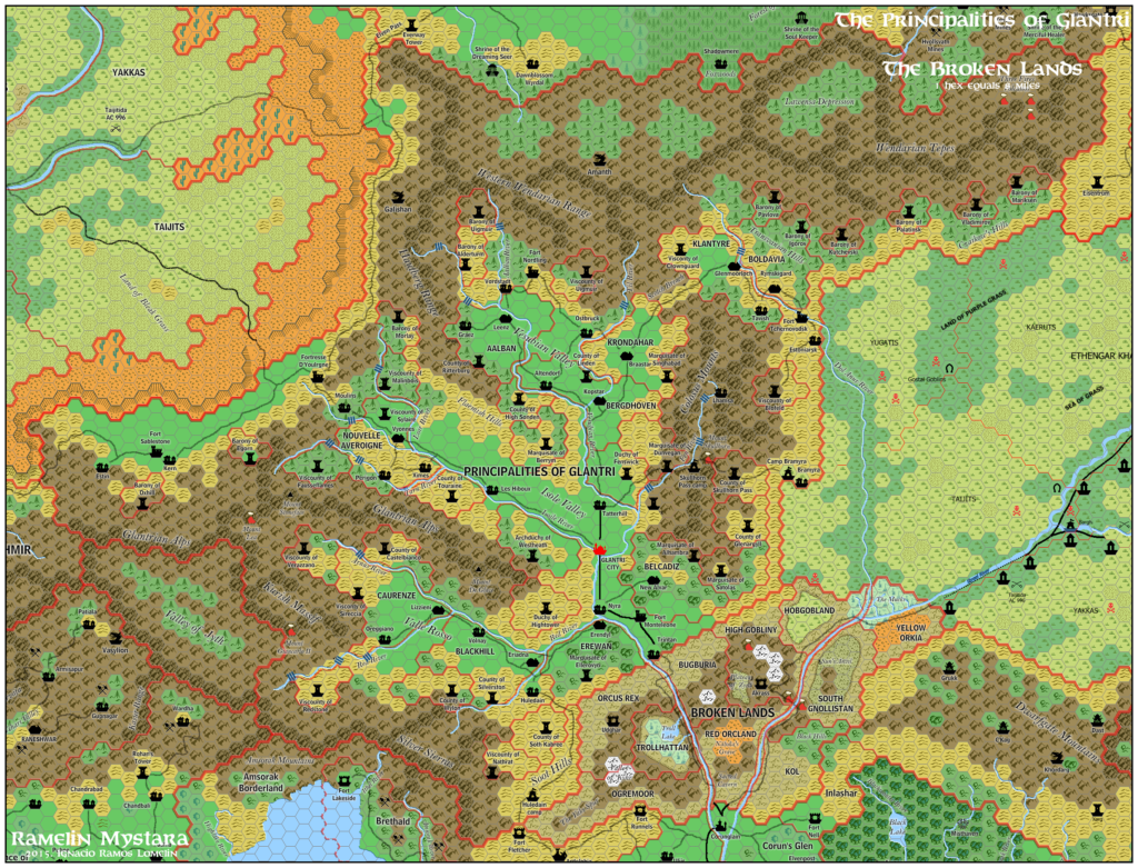
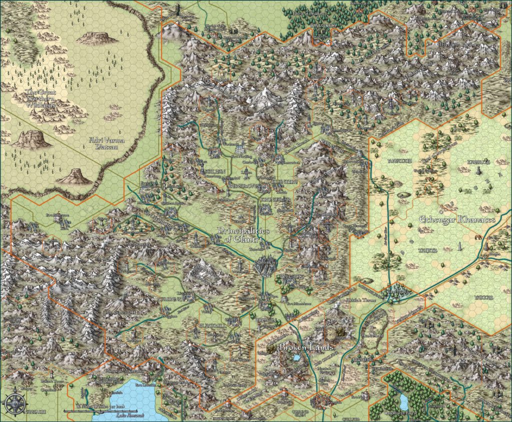
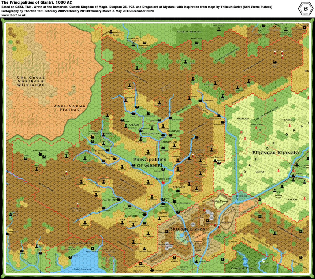
Thibault’s Glantri, 8 miles per hex v2
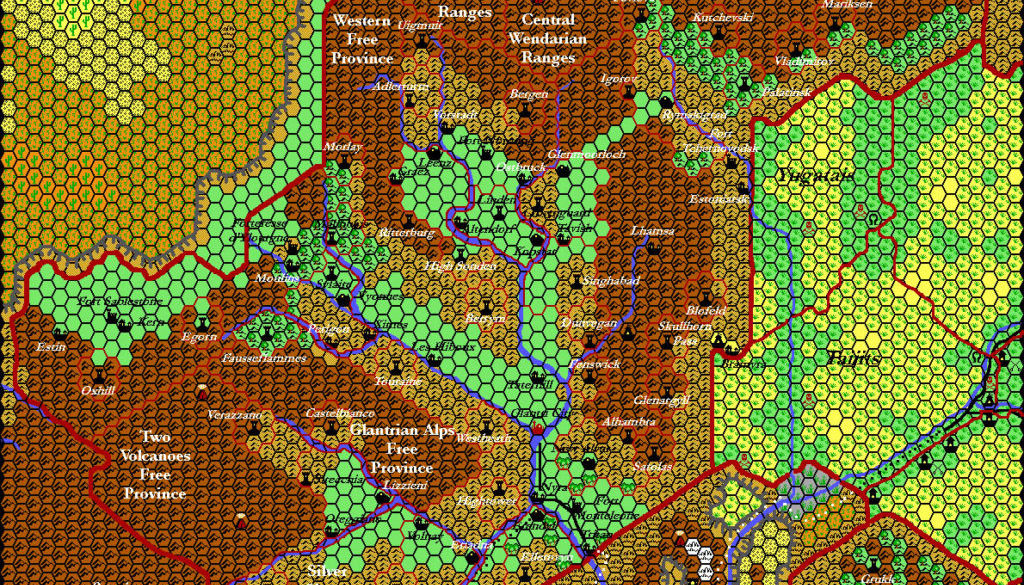
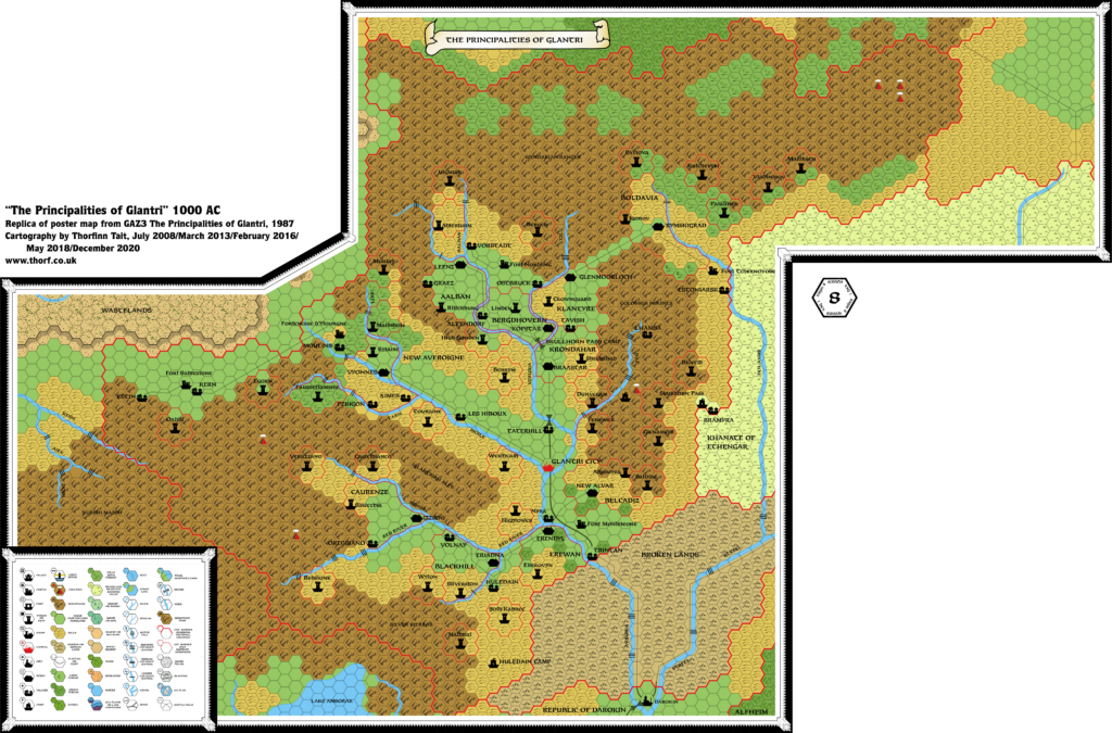
Building on his first version of Glantri, Thibault’s revised map has quite a complex history. He used the nation to test out new palettes and ideas over the years, resulting in multiple variants. The most significant are presented here with the newest at the top.
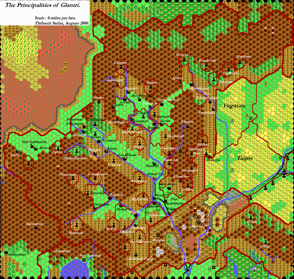
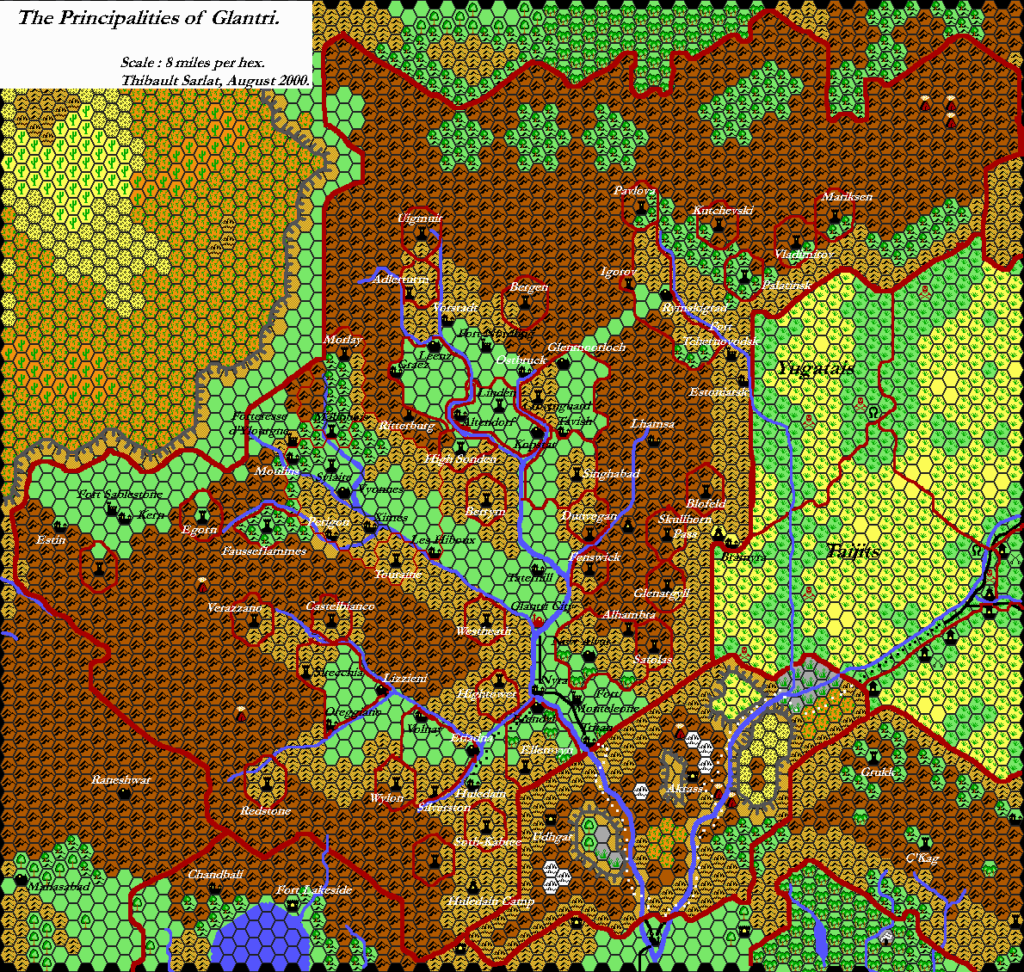
Although he tested quite a subdued palette, swapping out the VGA graphics-style saturated colours for more print-reminiscent pastels, the colours Thibault eventually settled on for his Grid maps were a more conservative tweak of his original palette. The main change was noticeable in the badlands, which went from red to orange.
A second feature Thibault tested in these maps was his method for drawing dominion borders. He started out freehand, painting lines in Paint Shop Pro, but eventually refined this to converting areas of the existing hex grid into borders, thus giving a more angular, crisp character. National borders and those not following the hex grid remained completely hand-drawn.
Finally, the November 2000 map is notable for being part of another development of Glantri, in which Thibault collaborated with Giovanni Porpora and Giampaolo Agosta. Thibault’s part, of course, was the map, which they used to make an interactive map index. (The page is still visible today, though the interactive map is no longer clickable.) The last version of the map below is a simple palette change to this map.
Thibault’s Glantri introduces a number of new labels from that project, many of which are still in use today. Indeed, some years later Michael Berry used Thibault’s map as the starting point for his own project, Micky’s Grand Glantri Gazetteer.
All in all, Glantri was a fertile ground for Thibault’s mapping efforts, and his maps remain relevant to the community more than twenty years later.
Fan-made Map by Thibault Sarlat (September 2001)
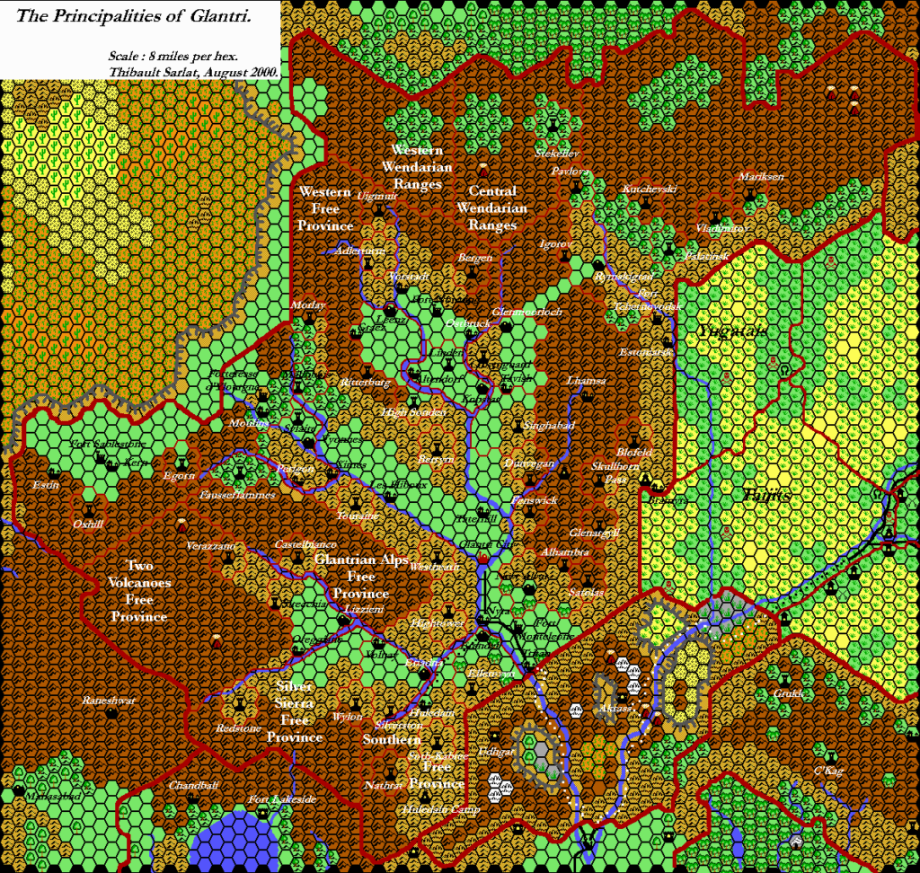
Fan-made Map by Thibault Sarlat (November 2000)
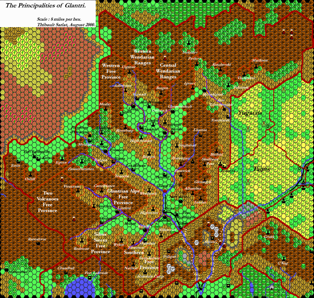
Fan-made Maps by Thibault Sarlat (August 2000)
Fan-made Map by Thibault Sarlat (April 2000)
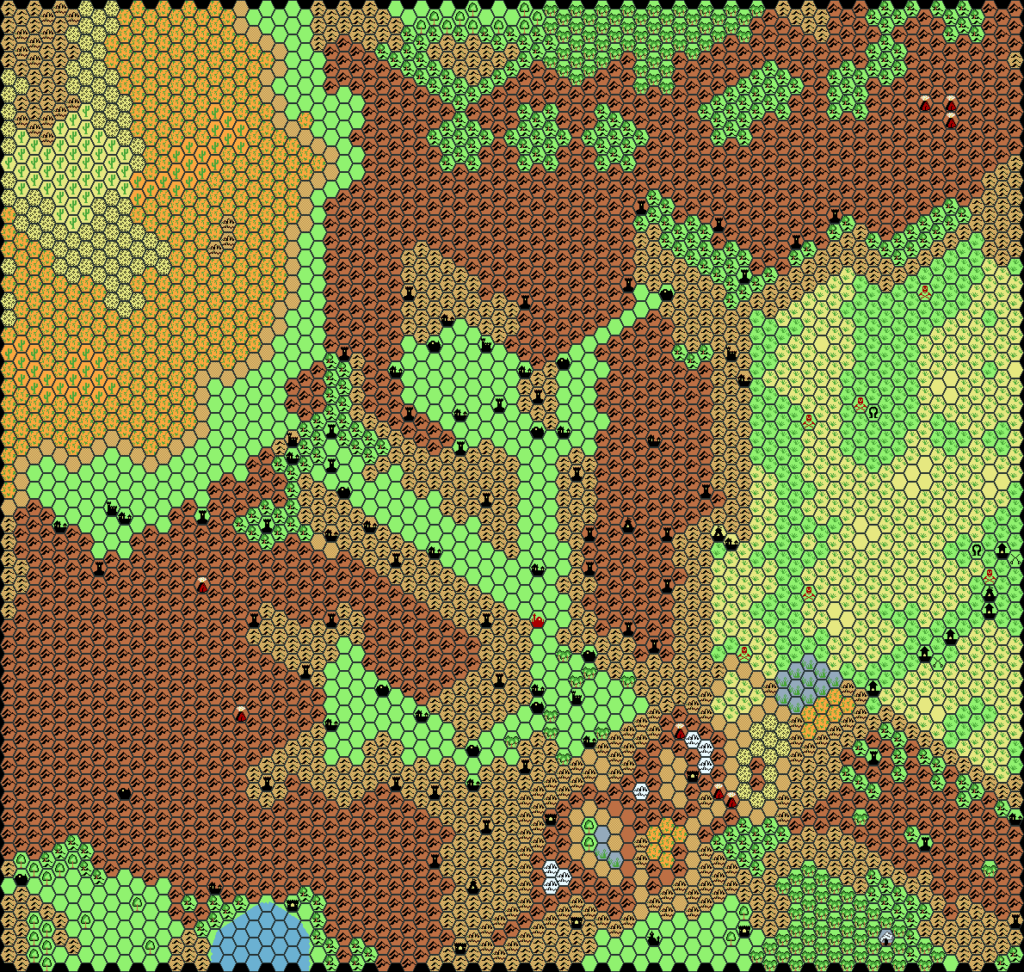
This is an original map created by one of Mystara’s excellent fan cartographers. For more information on the cartographer, including a gallery of all their maps, see also Appendix M: Mappers of Mystara.
Sources
- GAZ3 The Principalities of Glantri (1987) (PDF at DriveThruRPG)
- GAZ5 The Elves of Alfheim (1988) (PDF at DriveThruRPG)
- GAZ10 The Orcs of Thar (1989) (PDF at DriveThruRPG)
- GAZ11 The Republic of Darokin (1989) (PDF at DriveThruRPG)
- GAZ12 The Golden Khan of Ethengar (1989) (PDF at DriveThruRPG)
- Champions of Mystara (1993) (PDF at DriveThruRPG)
Fan Sources
References
- All of Thibault’s maps at the Atlas of Mystara
- Thibault’s entry in Appendix M: Mappers of Mystara (upcoming)
- Thibault’s author page at the Vaults of Pandius
Chronological Analysis
This is a fan-made map. It was published in April 2000 and revised in September 2001. The updated Atlas version of this map is Glantri, 8 miles per hex. See also Appendix C for annual chronological snapshots of the area. For the full context of this map in Mystara’s publication history, see the upcoming Let’s Map Mystara 2000 and 2001.
The following lists are from the Let’s Map Mystara project. Additions are new features, introduced in this map. Revisions are changes to previously-introduced features. Hex Art & Fonts track design elements. Finally, Textual Additions are potential features found in the related text. In most cases, the Atlas adopts these textual additions into updated and chronological maps.
Coming Soon

