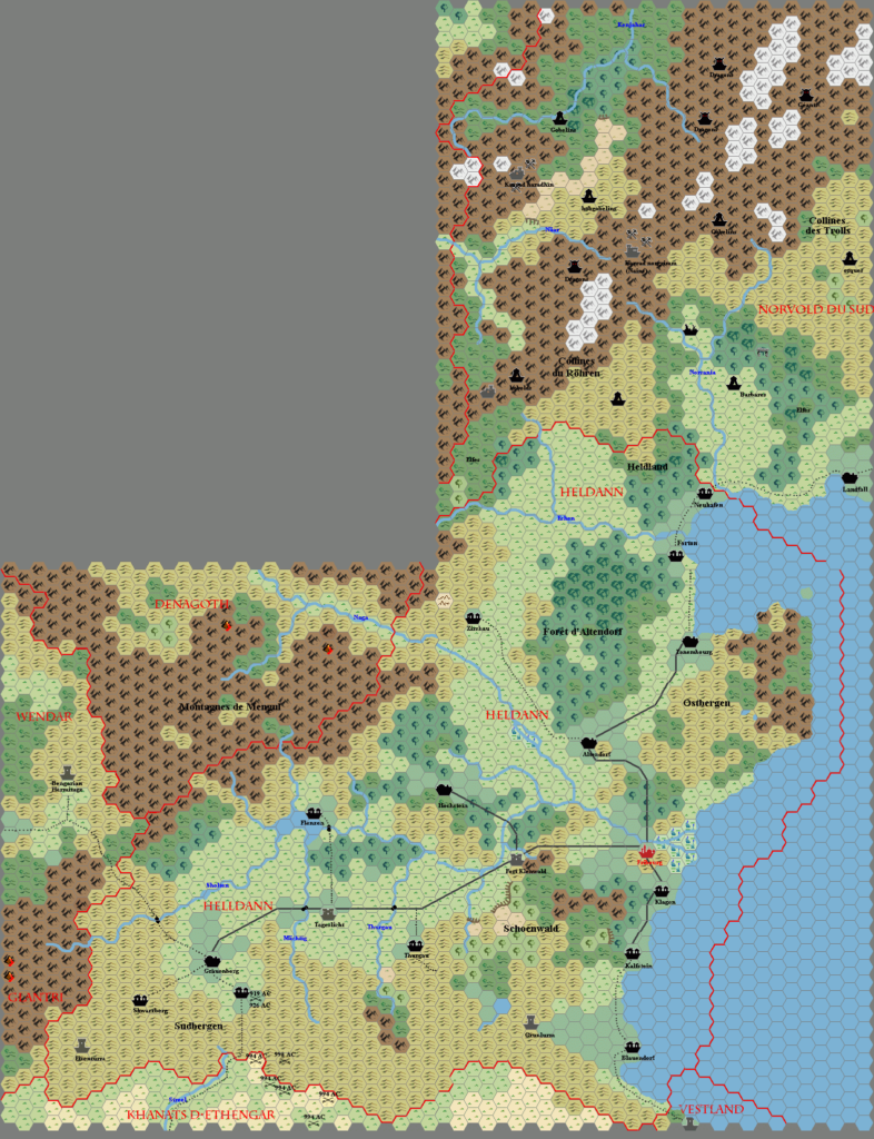
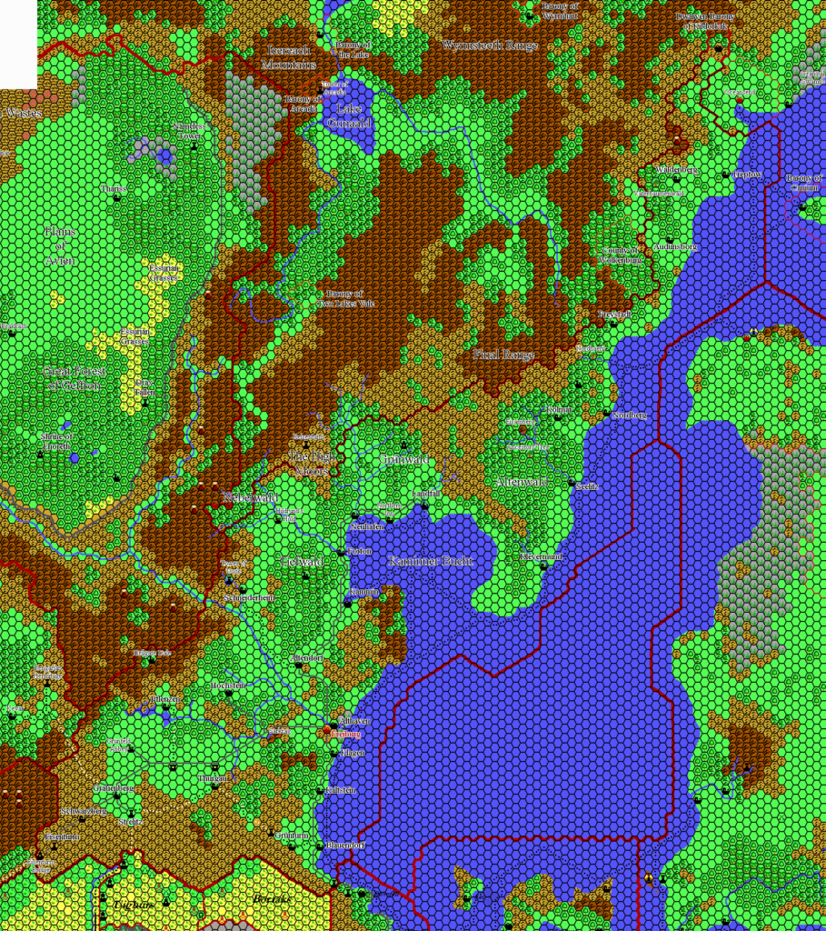
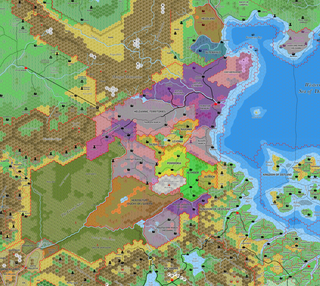
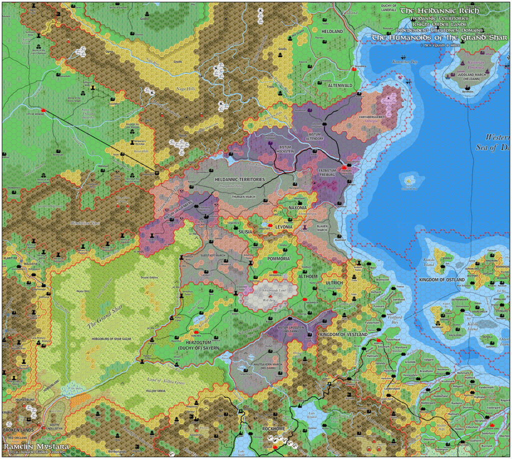
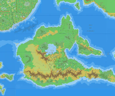
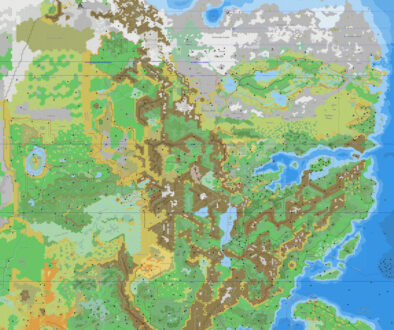
Thibault’s Heldann, 8 miles per hex v1
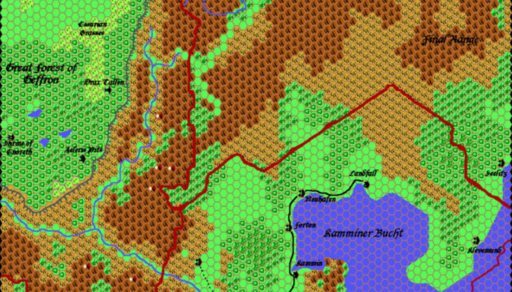
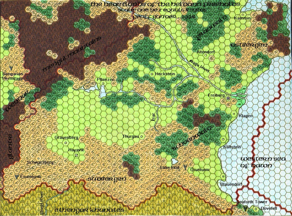
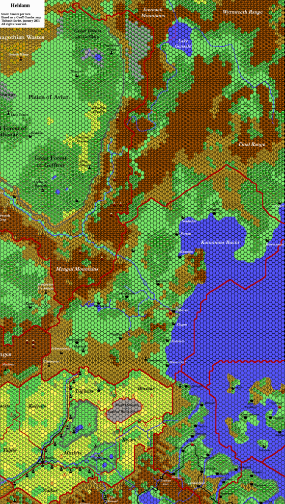
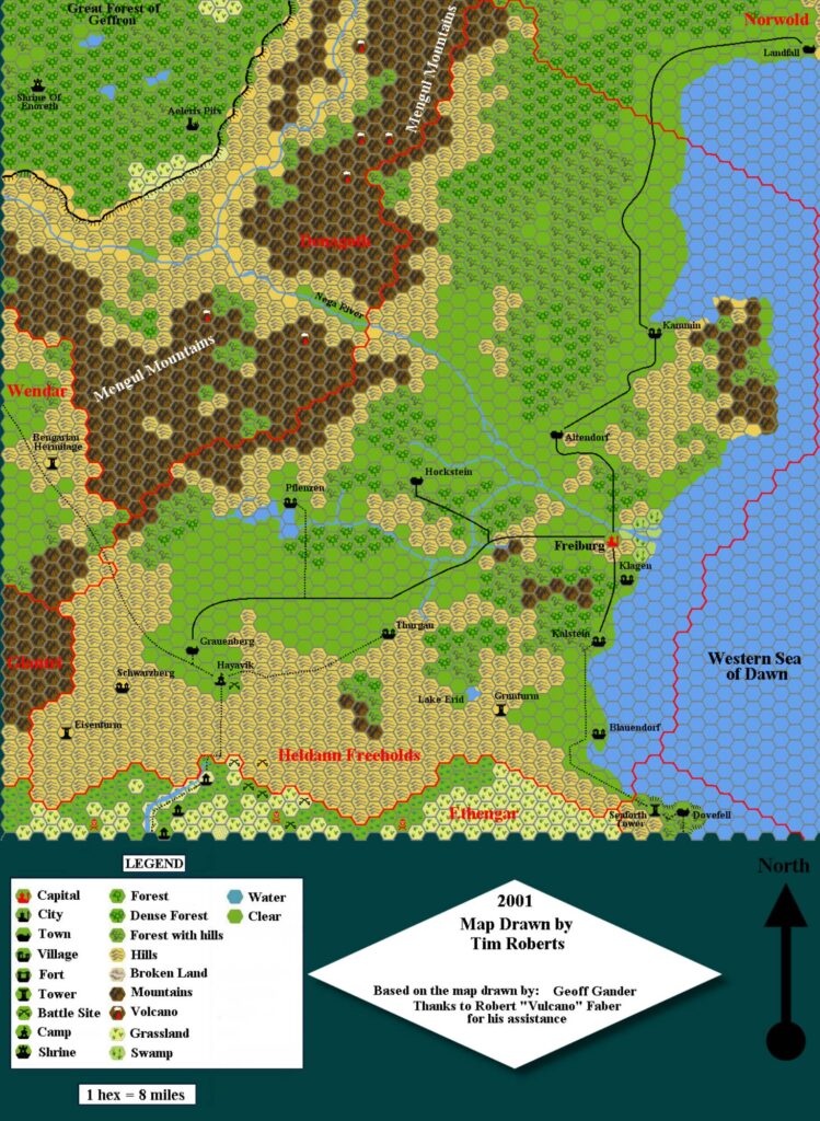
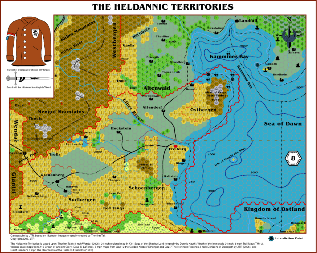
Thibault drafted the terrain for the southern half of this map as early as September 1999, but it wasn’t until March 2000 that he completed the northern part and posted the finished map. The reason for this is clear: the bottom left part is based on Geoff’s Heldann, 8 miles per hex, while the top left comes from Geoff’s Denagoth, 8 miles per hex. Meanwhile, Thibault had to draft the top right section himself, adapting from his expanded Known World, 24 miles per hex.
It’s another great map, demonstrating once again Thibault’s talent for bringing together conflicting maps from different sources and melding them into a coherent whole.
Notable is the Kamminer Bucht, which is part of Thibault’s solution for the CM1/X11 Norwold Conundrum. This bay has since become somewhat synonymous of the problem. It appeared on previous maps, of course, but this is the first time it received a name.
This seems to have been the last map Thibault completed with his old hex art, with the icons pointing to the left. All succeeding maps used his new upright hex art.
Fan-made Map by Thibault Sarlat (March 2000)
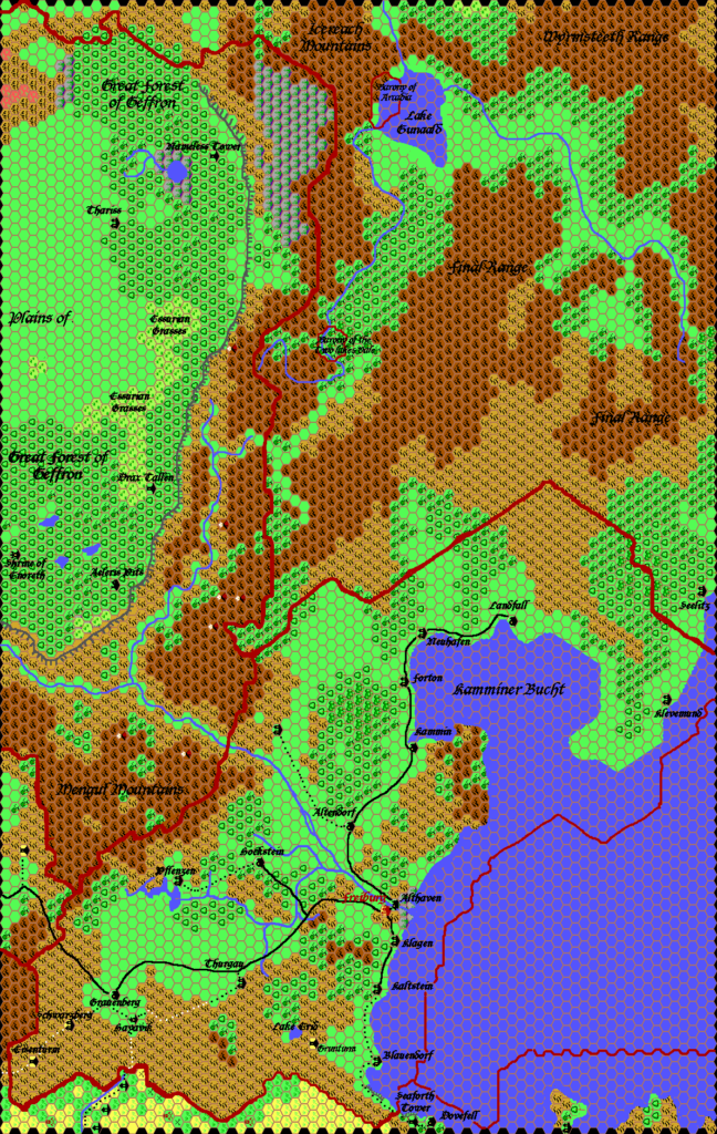
This is an original map created by one of Mystara’s excellent fan cartographers. For more information on the cartographer, including a gallery of all their maps, see also Appendix M: Mappers of Mystara.
Sources
- GAZ7 The Northern Reaches (1988) (PDF at DriveThruRPG)
- GAZ12 The Golden Khan of Ethengar (1989) (PDF at DriveThruRPG)
- TM2 The Eastern Countries (1989) (PDF at DriveThruRPG)
Fan Sources
- Geoff’s Denagoth, 8 miles per hex (1997)
- Geoff’s Heldann, 8 miles per hex (1998)
- Thibault’s Known World, 24 miles per hex v1 (1999)
References
- All of Thibault’s maps at the Atlas of Mystara
- Thibault’s entry in Appendix M: Mappers of Mystara (upcoming)
- Thibault’s author page at the Vaults of Pandius
Chronological Analysis
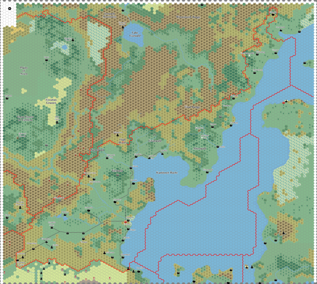
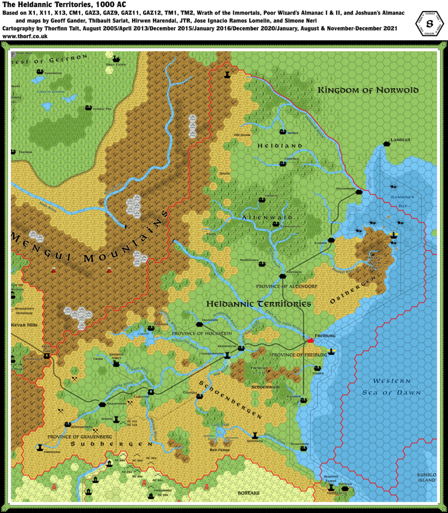
This is a fan-made map. It was published in March 2000. The updated Atlas version of this map is Heldann, 8 miles per hex. See also Appendix C for annual chronological snapshots of the area. For the full context of this map in Mystara’s publication history, see the upcoming Let’s Map Mystara 2000. (Please note that it may be some time before the project reaches this point.)
The following lists are from the Let’s Map Mystara project. Additions are new features, introduced in this map. Revisions are changes to previously-introduced features. Hex Art & Fonts track design elements. Finally, Textual Additions are potential features found in the related text. In most cases, the Atlas adopts these textual additions into updated and chronological maps.
Under Construction! Please check back again soon for updates.
Revisions
- Spellings — Barony of the Two Lakes Vale is a slightly different interpretation of CM2’s Barony of Twolakes Vale. The Atlas considers the latter to be the proper form.

