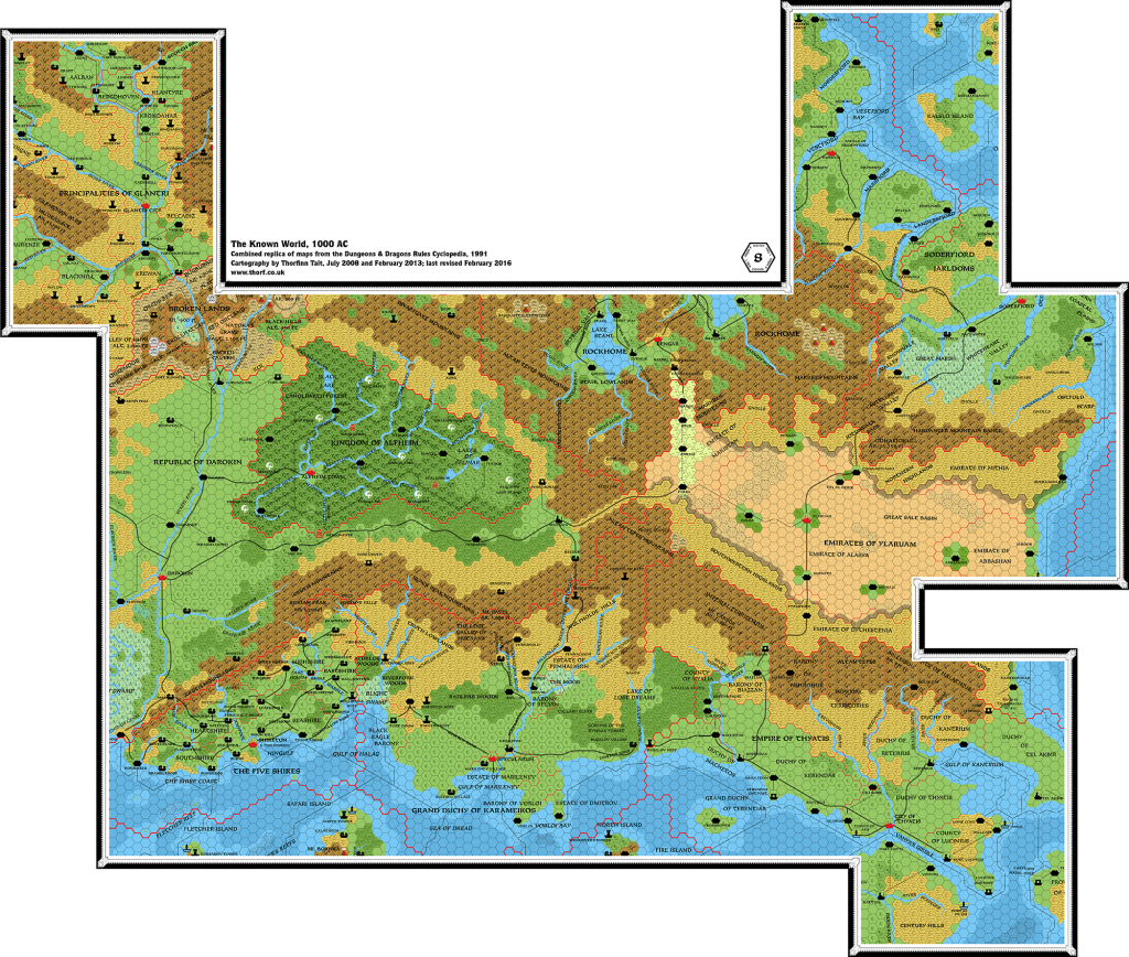
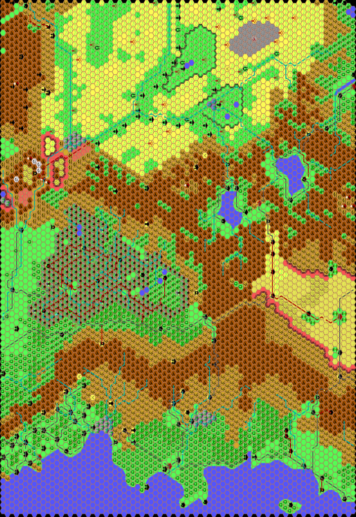
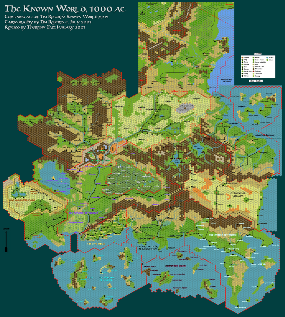
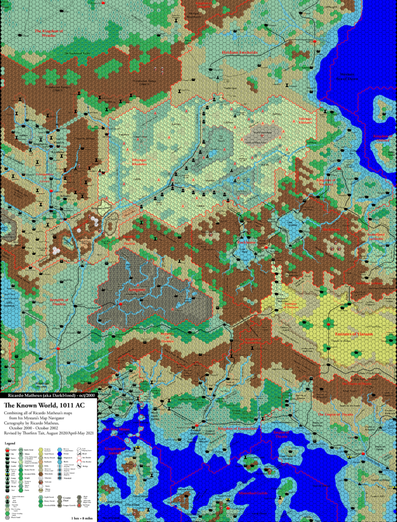
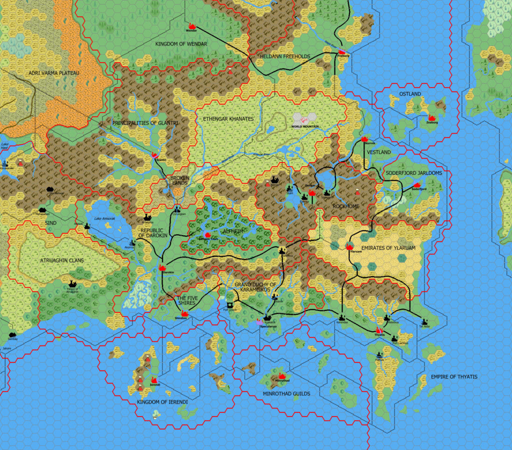
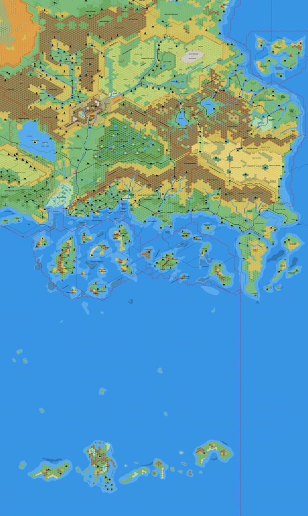
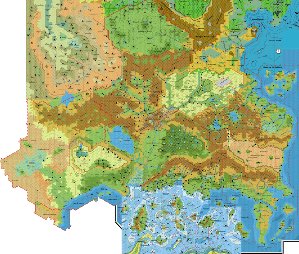
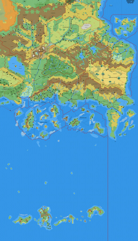
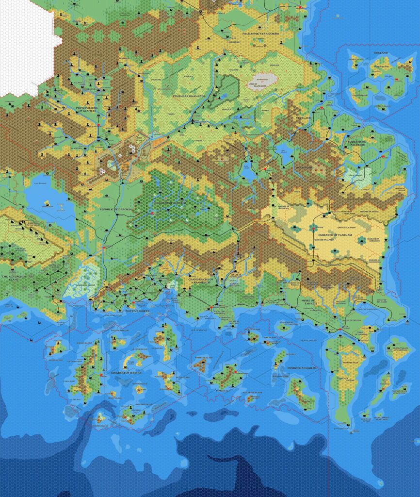
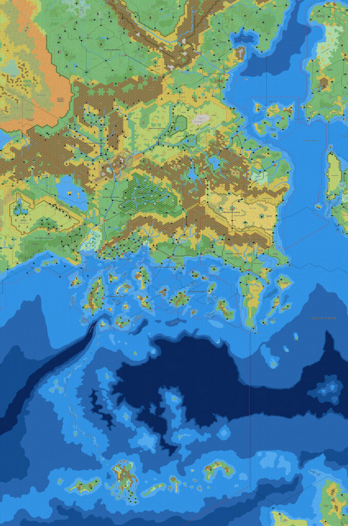
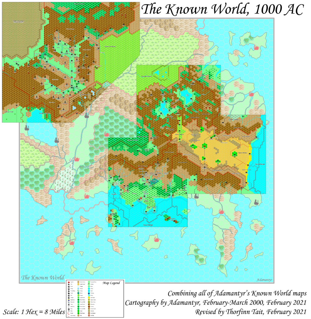
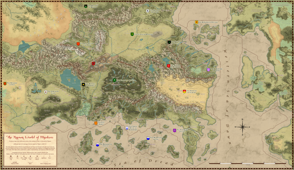
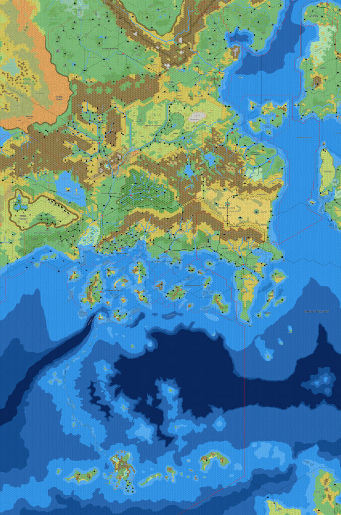
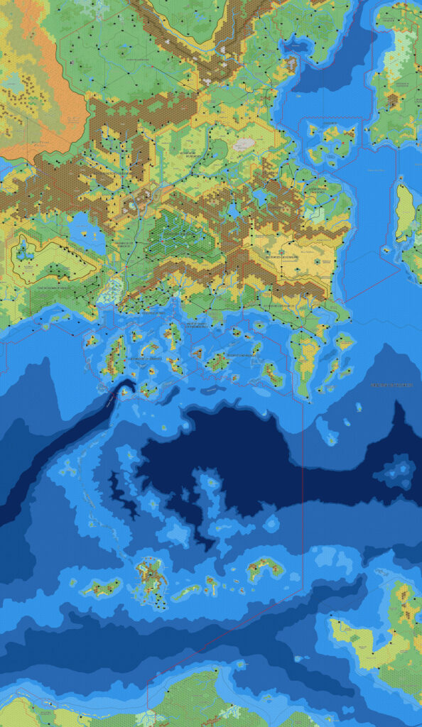
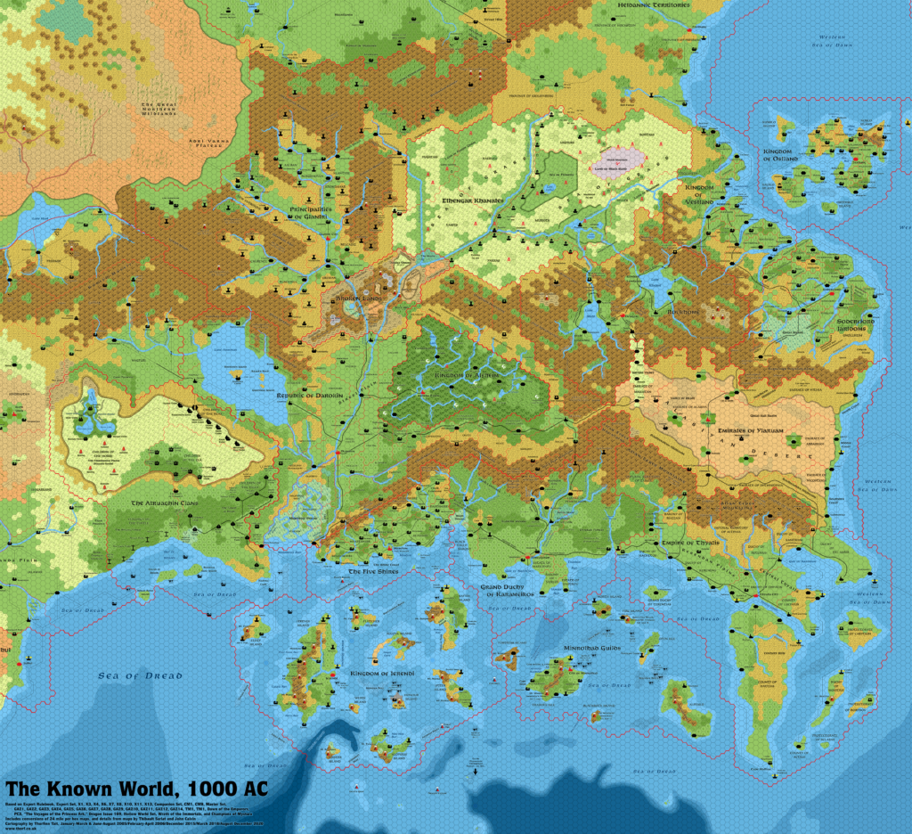
Thibault’s Known World, 8 miles per hex v2
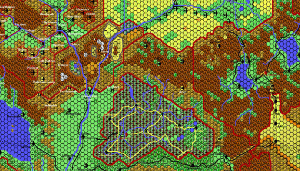
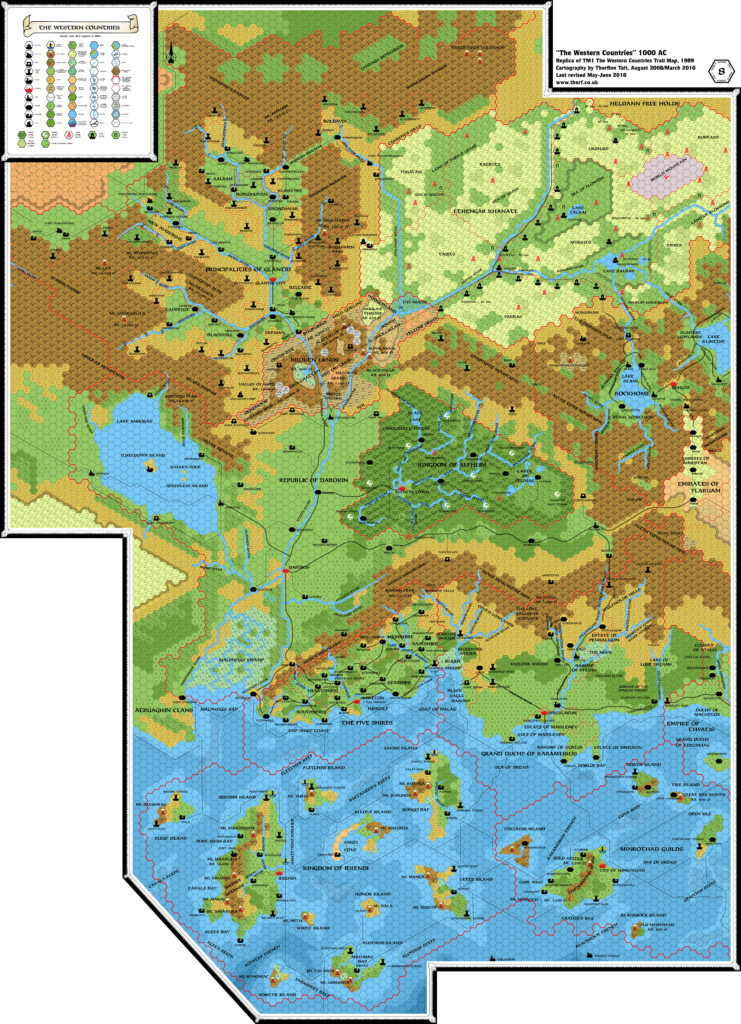
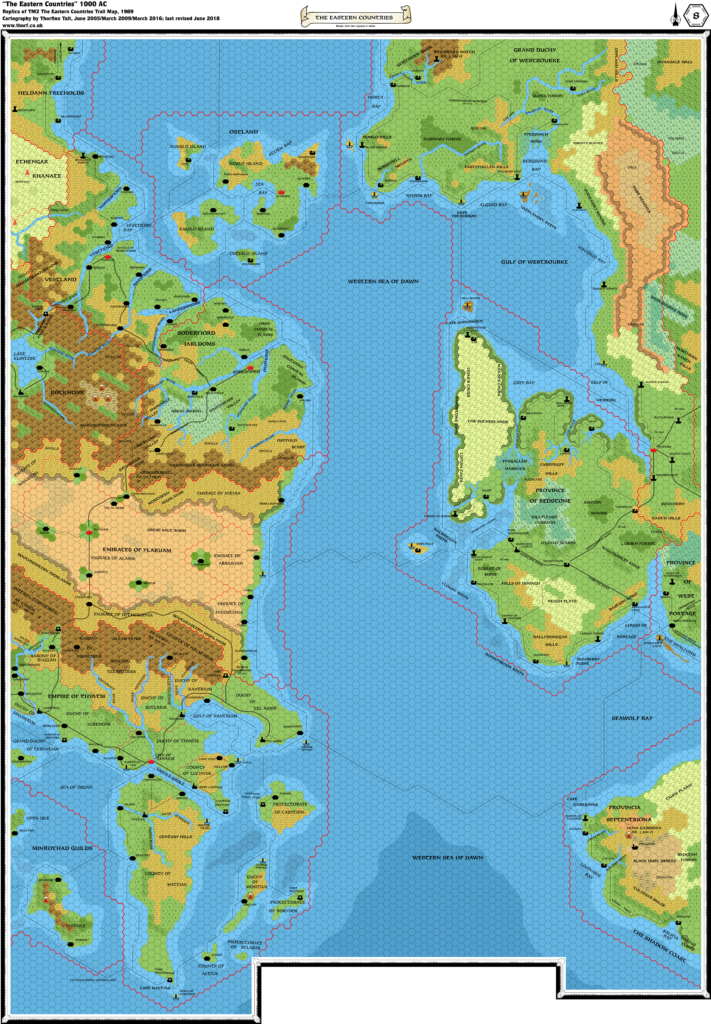
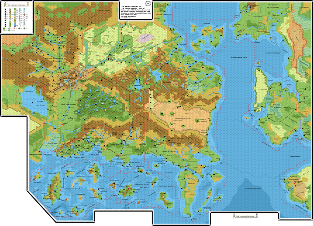
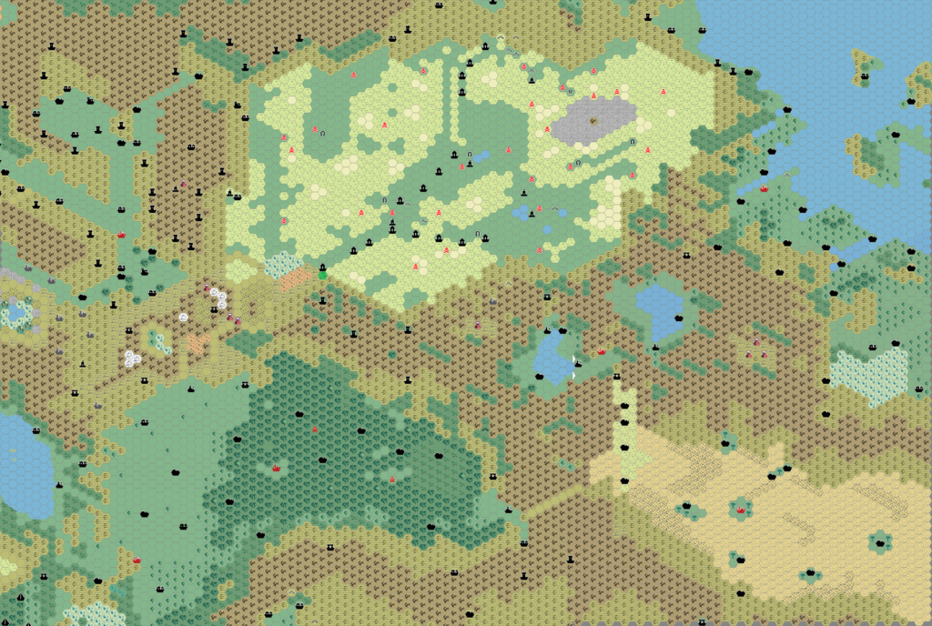
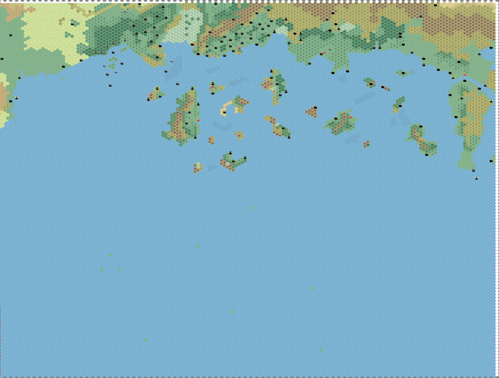
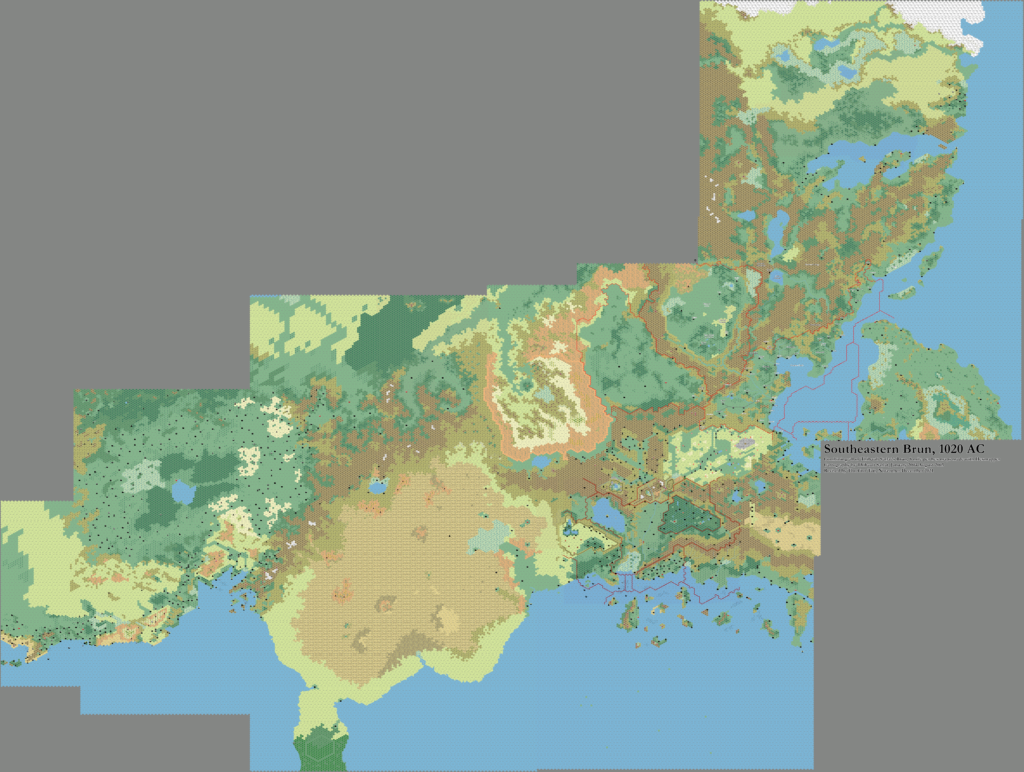
This is the second edition of Thibault’s Known World, 8 miles per hex map. It replaced the version posted in 1999, which featured angular linework; this one has smooth lines. This map also expands the area of the previous map to cover more of the area depicted on TM1 Western Countries trail map, and to join smoothly with Thibault’s Sind map. The eastern edge is trimmed slightly to facilitate a future map based on TM2.
Note that since this version has a black hex grid, it likely dates to somewhat later than the stated February 2000; Thibault changed all of his hex grids from grey to black starting in August 2000, so the map below is probably from late 2000. (When he updated the hex grids, he usually didn’t change the date listed on his maps.)
Fan-made Map by Thibault Sarlat (February 2000)
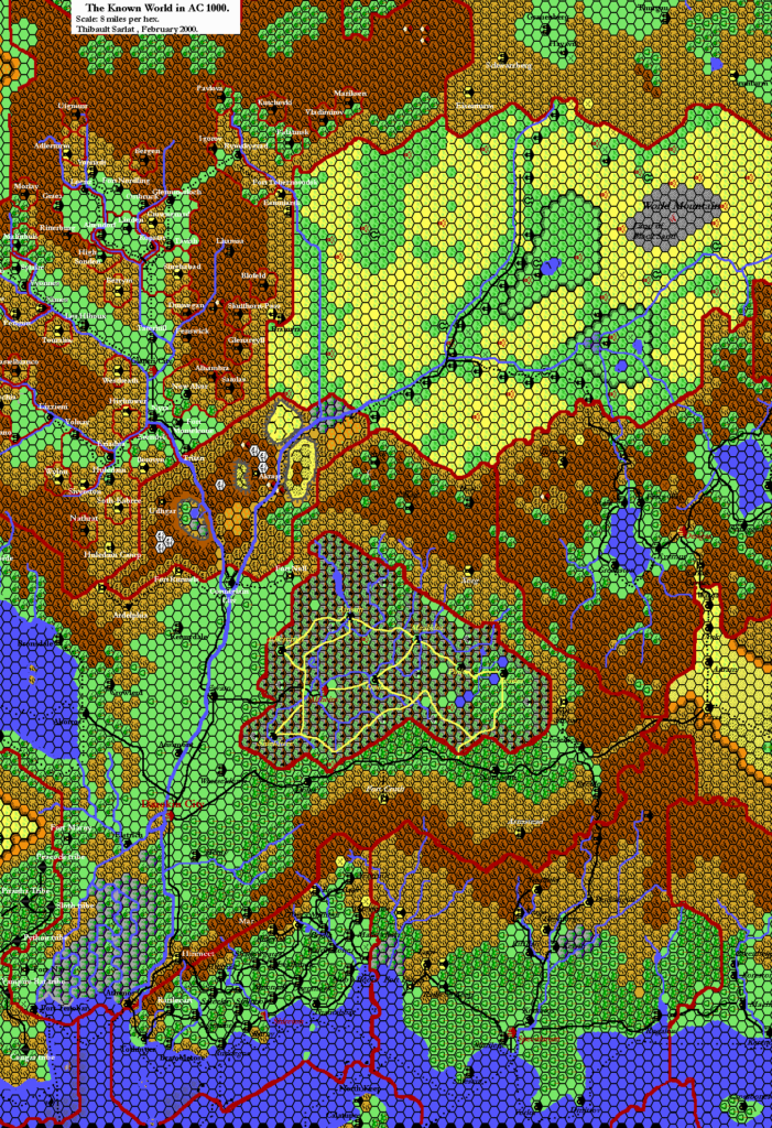
This is an original map created by one of Mystara’s excellent fan cartographers. For more information on the cartographer, including a gallery of all their maps, see also Appendix M: Mappers of Mystara.
Sources
- GAZ1 The Grand Duchy of Karameikos (1987) (PDF at DriveThruRPG)
- GAZ2 The Emirates of Ylaruam (1987) (PDF at DriveThruRPG)
- GAZ3 The Principalities of Glantri (1987) (PDF at DriveThruRPG)
- GAZ5 The Elves of Alfheim (1988) (PDF at DriveThruRPG)
- GAZ6 The Dwarves of Rockhome (1988) (PDF at DriveThruRPG)
- GAZ7 The Northern Reaches (1988) (PDF at DriveThruRPG)
- GAZ8 The Five Shires (1988) (PDF at DriveThruRPG)
- GAZ10 The Orcs of Thar (1989) (PDF at DriveThruRPG)
- GAZ11 The Republic of Darokin (1989) (PDF at DriveThruRPG)
- GAZ12 The Golden Khan of Ethengar (1989) (PDF at DriveThruRPG)
- Dawn of the Emperors (1989) (PDF at DriveThruRPG)
- TM1 The Western Countries (1989)
- TM2 The Eastern Countries (1989) (PDF at DriveThruRPG)
Fan Sources
References
- All of Thibault’s maps at the Atlas of Mystara
- Thibault’s entry in Appendix M: Mappers of Mystara (upcoming)
- Thibault’s author page at the Vaults of Pandius
Chronological Analysis
This is a fan-made map. It was published in 2000. The updated Atlas version of this map is Known World, 8 miles per hex. See also Appendix C for annual chronological snapshots of the area. For the full context of this map in Mystara’s publication history, see the upcoming Let’s Map Mystara 2000. (Please note that it may be some time before the project reaches this point.)
The following lists are from the Let’s Map Mystara project. Additions are new features, introduced in this map. Revisions are changes to previously-introduced features. Hex Art & Fonts track design elements. Finally, Textual Additions are potential features found in the related text. In most cases, the Atlas adopts these textual additions into updated and chronological maps.
Coming Soon

