Trail to Denagoth, 12 miles per hex (1986)
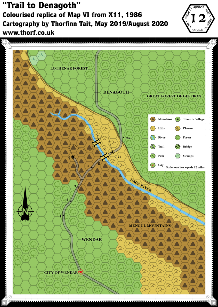
While at first glance X11’s 12 mile per hex map looked like a great companion to its 24 mile per hex map, in fact they didn’t match up well at all. The best placement seemed to result from matching them up using the City of Wendar and Geron as landmarks. But even then, the shape of the plateau and especially the northwestern corner of the map were completely at odds.
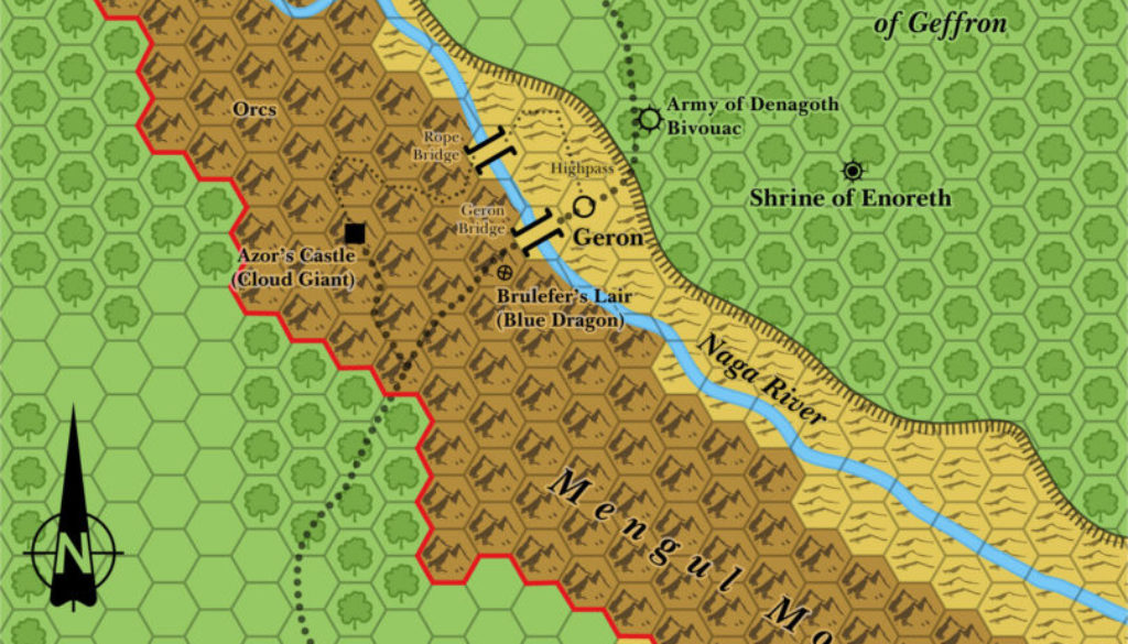
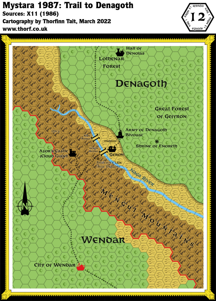
This updated map takes the best of both maps, preserving the details of the 12 mile per hex scale while keeping to the overall shapes of the smaller scale map.
Chronological Map (February 2022)
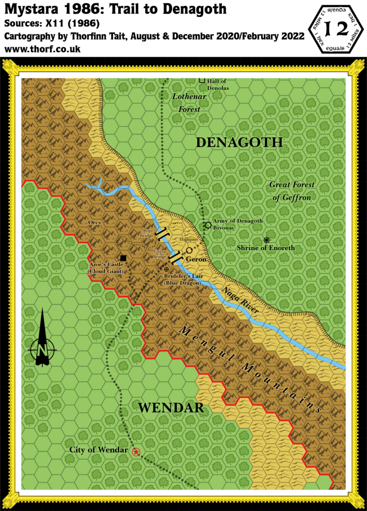
This map is part of the Mystara 1986 series of chronological maps. It is an updated map, incorporating all available sources and made internally consistent with other maps in its series. But it only uses sources published in or before 1986.
For more information, see Appendix C: Cartographic Chronology.
Sources
- X11 Saga of the Shadow Lord (1986) (PDF at DriveThruRPG)
Revisions
For detailed notes, see the posts for each individual source map at the links above.
- Plateaus — The Denagoth plateau’s shape is based on the 24 mile per hex map.
- Terrain — The terrain is largely based on the 24 mile per hex map, preserving details from the 12 mile per hex map where possible.
References
- WIP Map: Trail to Denagoth Updated (December 2020) — post at Patreon previewing this map
- Let’s Map Mystara 1986 — the original project thread for this map
- Let’s Map Mystara Together discussion thread at The Piazza (link leads to this map’s post)
- Denagoth at the Vaults of Pandius
- Wendar at the Vaults of Pandius

