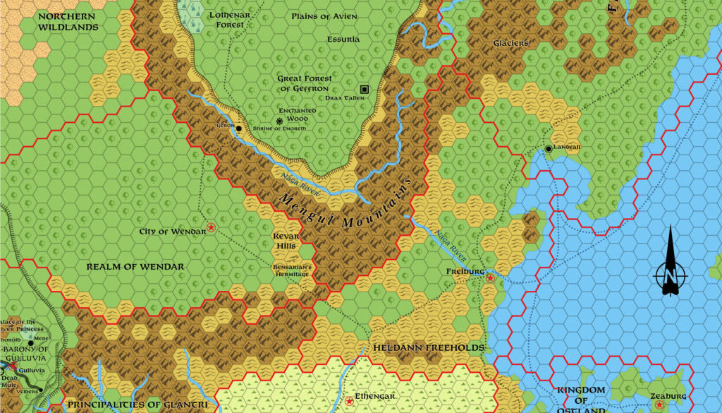
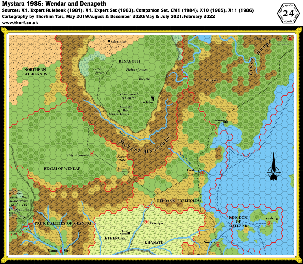
Wendar and Denagoth, 24 miles per hex (1987)
Although in 1987 the titular regions didn’t receive any updates, the nations on the edge of this map did. There were three main areas: M4’s lake southwest of Oceansend, peeking onto the top right corner; M5’s reshaping of the Isle of Dawn, which just reaches the right-hand edge; and GAZ3’s additions to Glantri — though most of these don’t show up at this scale. Of course along with these additions the hex art and fonts have been updated to Gazetteer style.
Note: This map will likely be updated again soon as I work through the Mystara 1987 maps. I will probably add a little more to Glantri, as well as some elements from X13.
Chronological Map (April 2022)
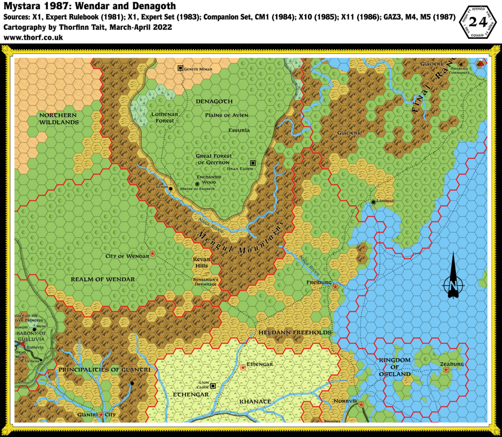
This map is part of the Mystara 1987 series of chronological maps. It is an updated map, incorporating all available sources and made internally consistent with other maps in its series. But it only uses sources published in or before 1987.
For more information, see Appendix C: Cartographic Chronology.
Sources
- Mystara 1986
- GAZ1 The Grand Duchy of Karameikos (1987) (PDF at DriveThruRPG)
- GAZ3 The Principalities of Glantri (1987) (PDF at DriveThruRPG)
- X13 Crown of Ancient Glory (1987) (PDF at DriveThruRPG)
- M4 Five Coins for a Kingdom (1987) (PDF at DriveThruRPG)
- M5 Talons of Night (1987) (PDF at DriveThruRPG)
Revisions
For detailed notes, see the posts for each individual source map at the links above.
- Hex Art & Fonts — Updated to 1987 standards.
References
- Let’s Map Mystara 1987 — the original project thread for this map
- Let’s Map Mystara Together discussion thread at The Piazza (link leads to this map’s post)
- Wendar at the Vaults of Pandius
- Denagoth at the Vaults of Pandius
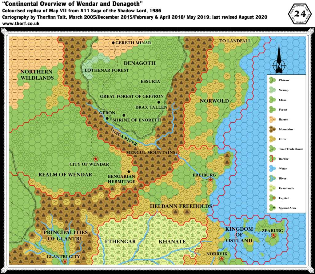
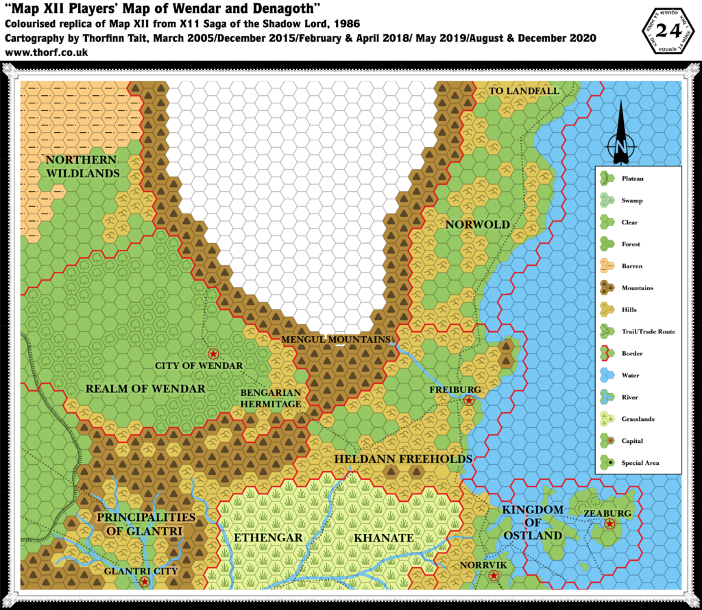
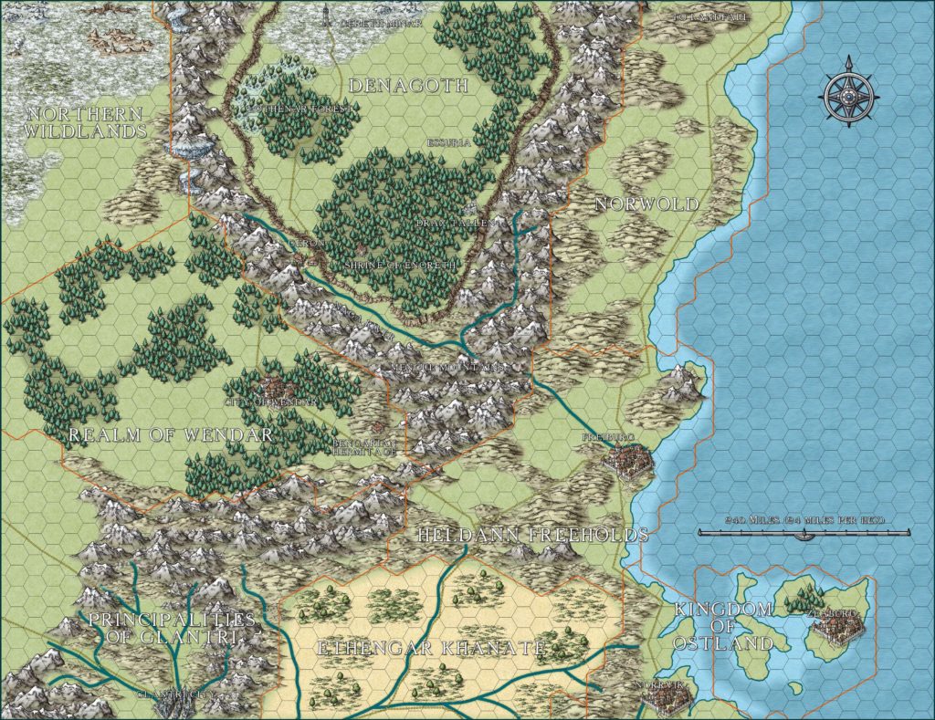
Maps of Wendar & Denagoth, 24 miles per hex

