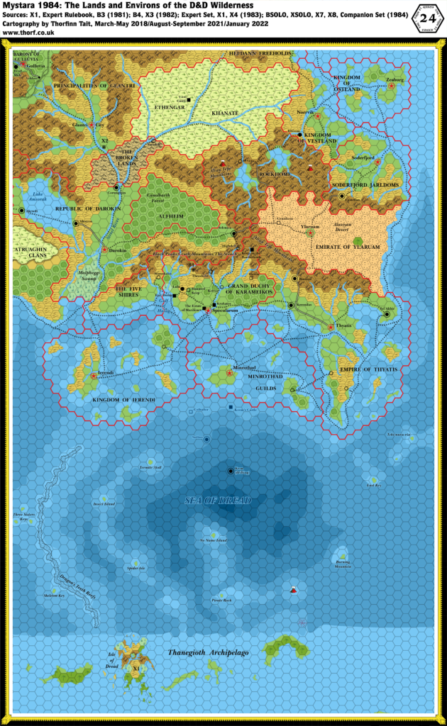
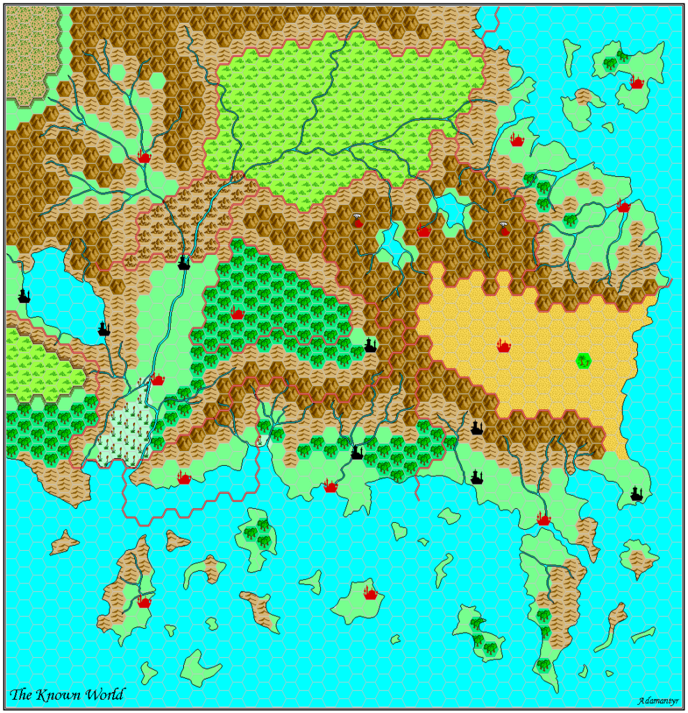
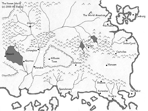
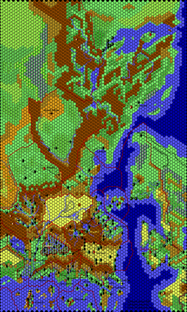
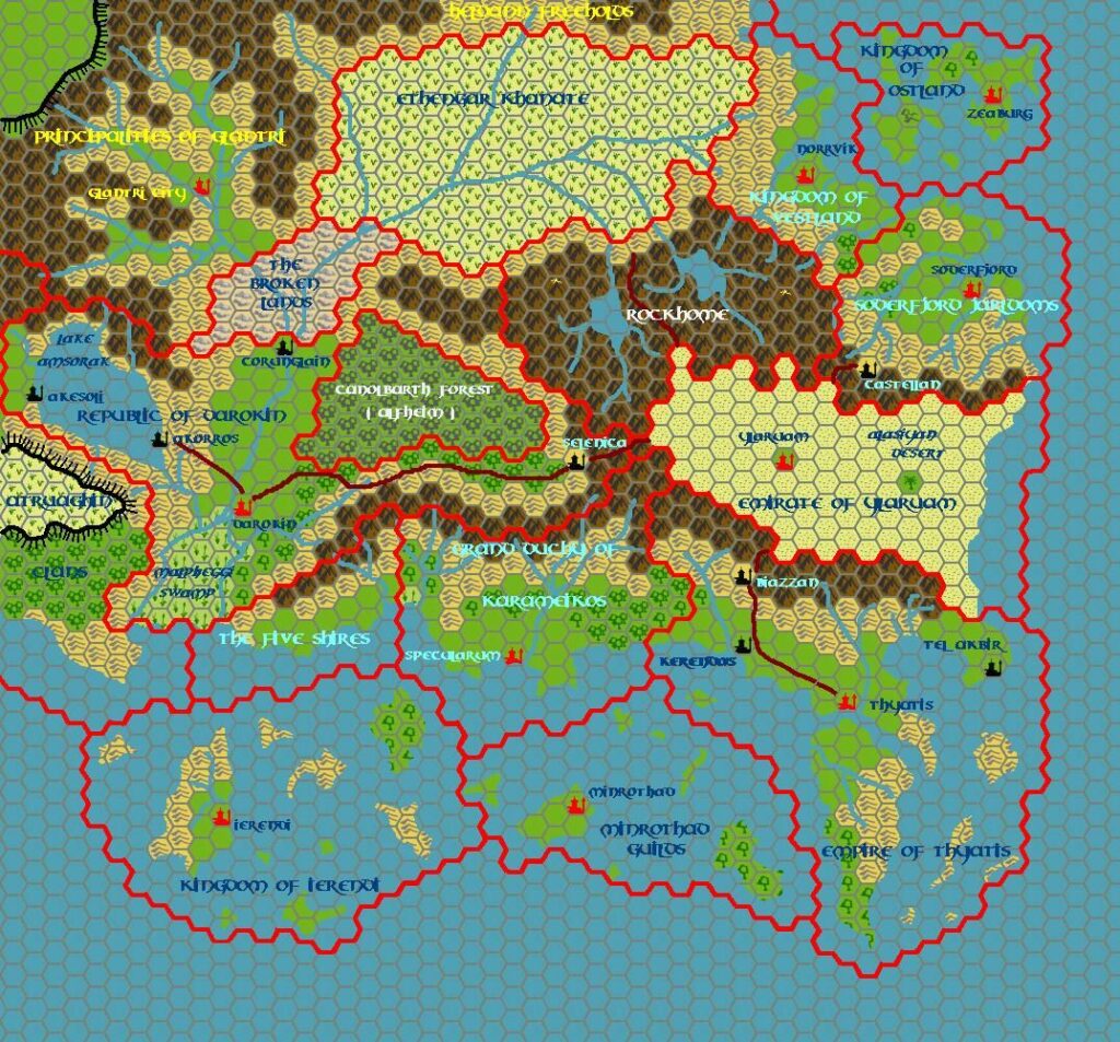
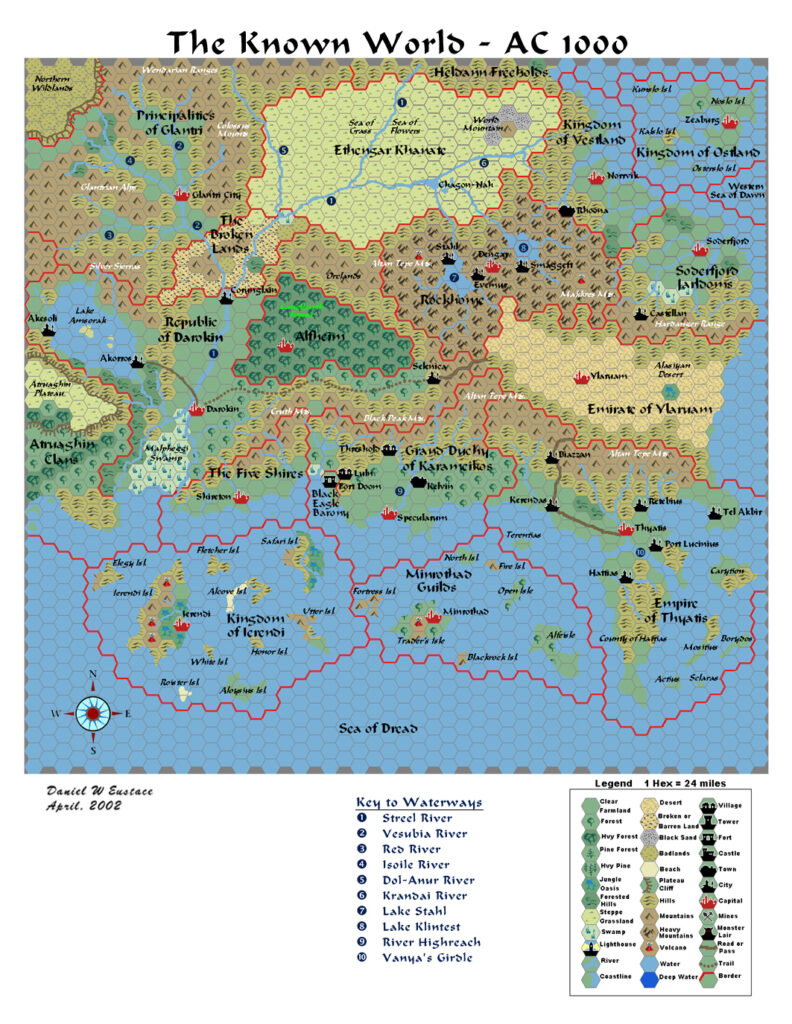
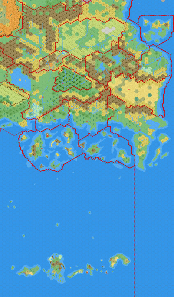
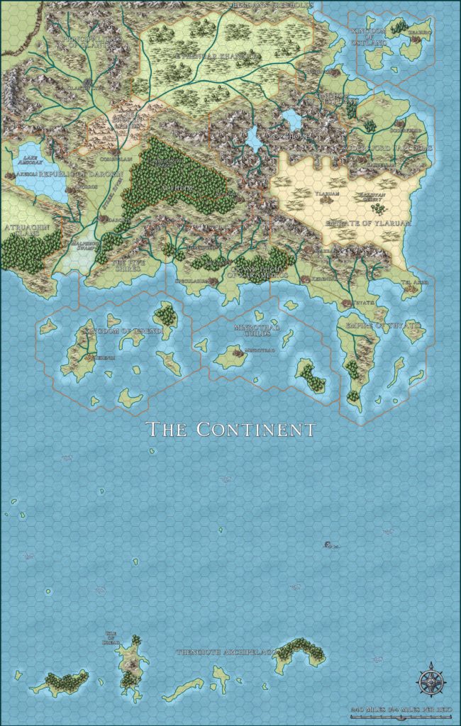
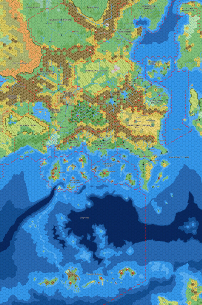
X1 (1983) Known World, 24 miles per hex
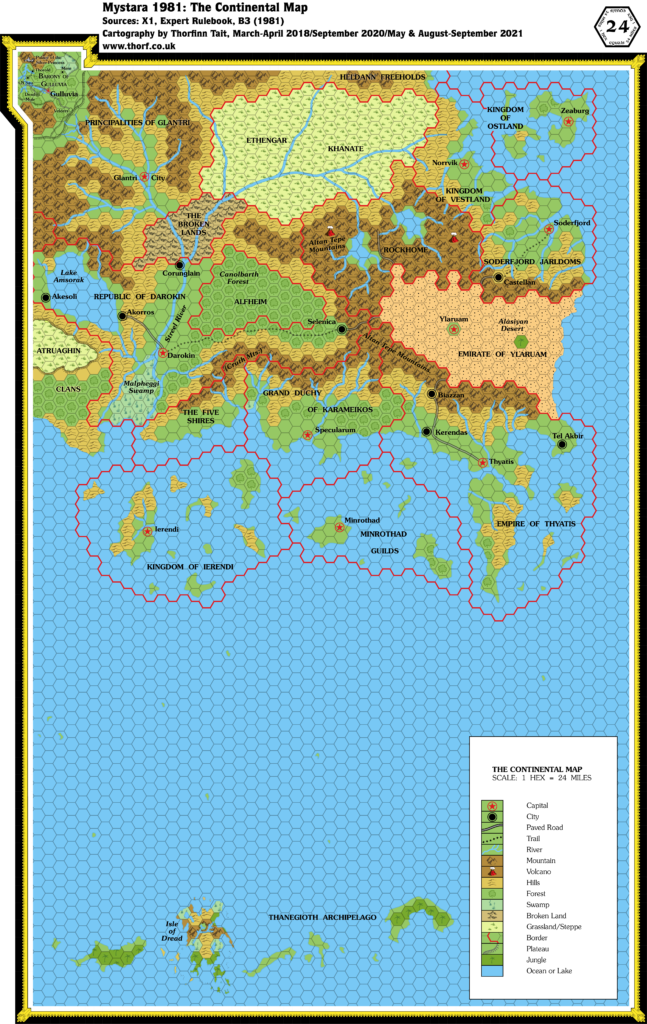
1983 saw the release of the revised Mentzer Expert Rules Set, along with the revised X1 The Isle of Dread.
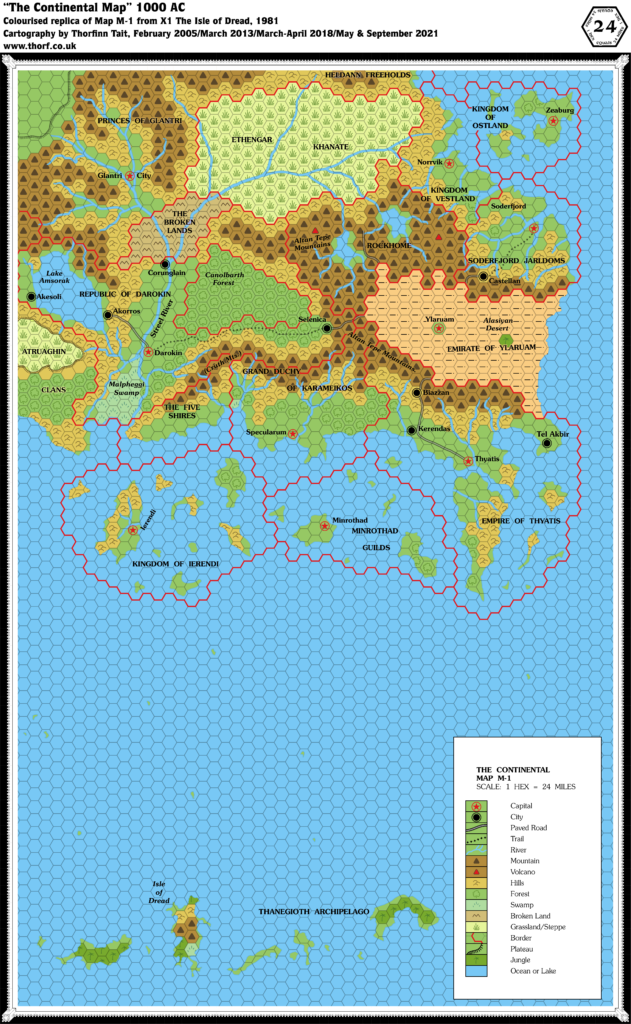
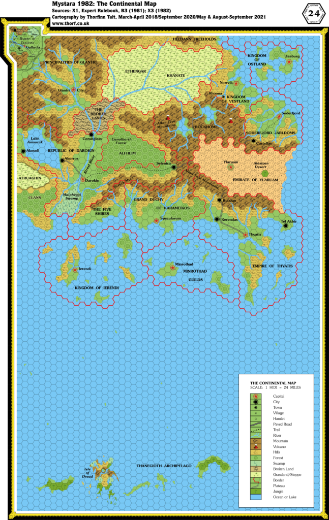
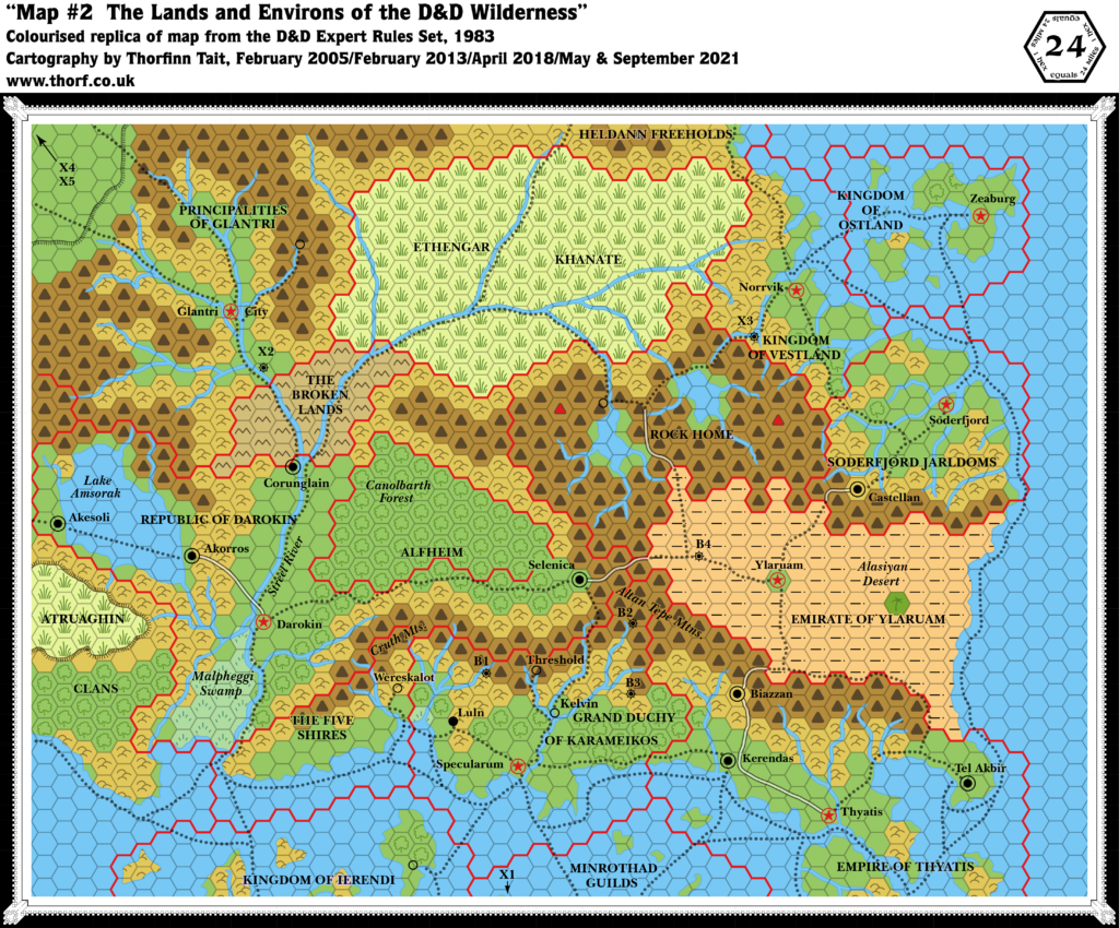
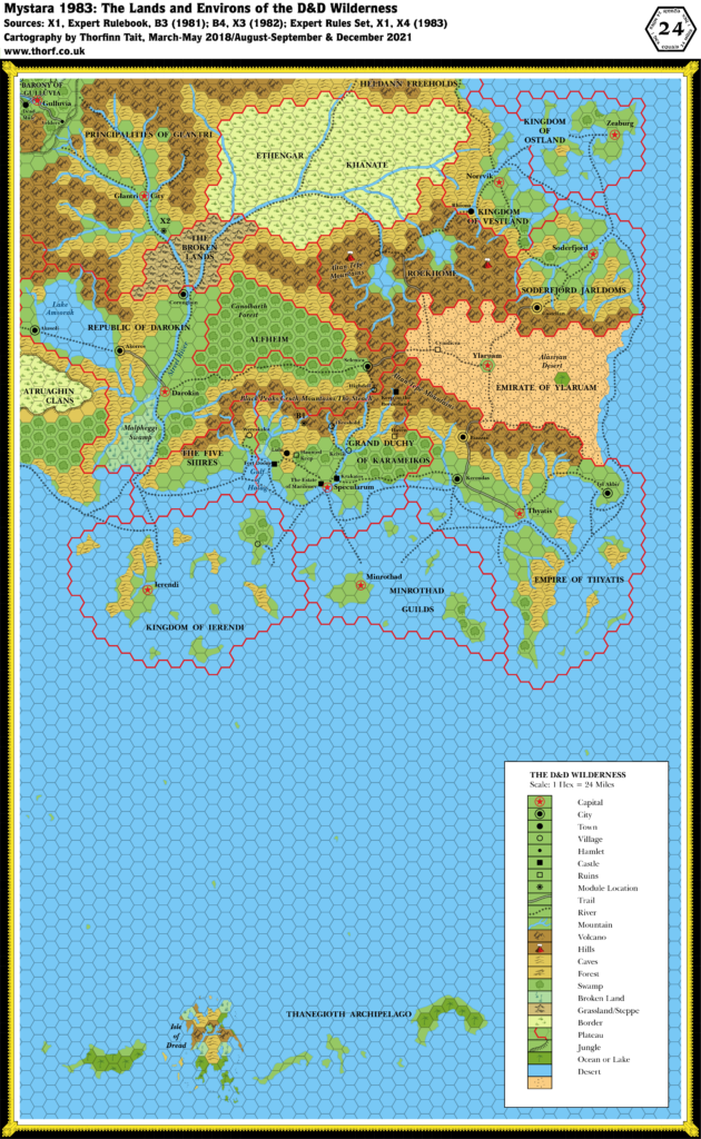
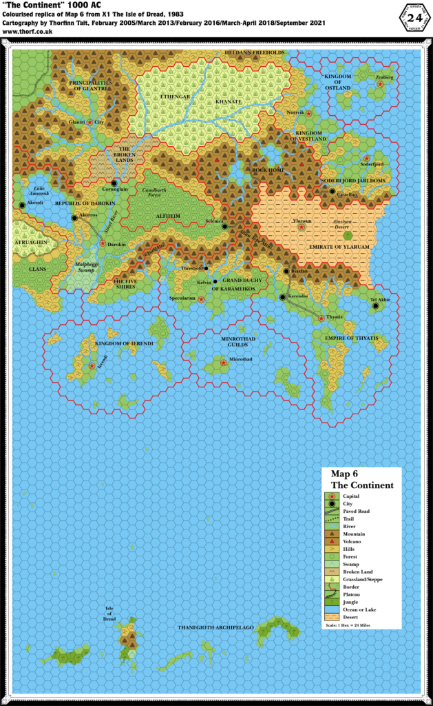
This map is from 1983’s reprint of X1, and it is largely the same as the original 1981 map. The main changes were with labels: it changed the font (from Souvenir to Baskerville); added the missing Alfheim label; corrected the Principalities of Glantri label; and changed “Rockhome” to “Rock Home”. Two trails were also deleted, and the Legend was expanded to include the missing desert symbol, but in the process half obscured a small island. The Expert Rules Set (1983), with which X1 (1983) was bundled, reproduced the northern half of the map on a single page, cropping the Sea of Dread and the Thanegioth Archipelago while adding trails and a few other details. While it’s the same map, the small details are surprisingly different.
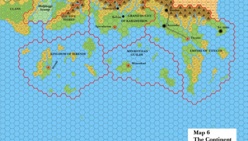
Perhaps the most significant addition was Threshold, which together with Kelvin was added to Karameikos.
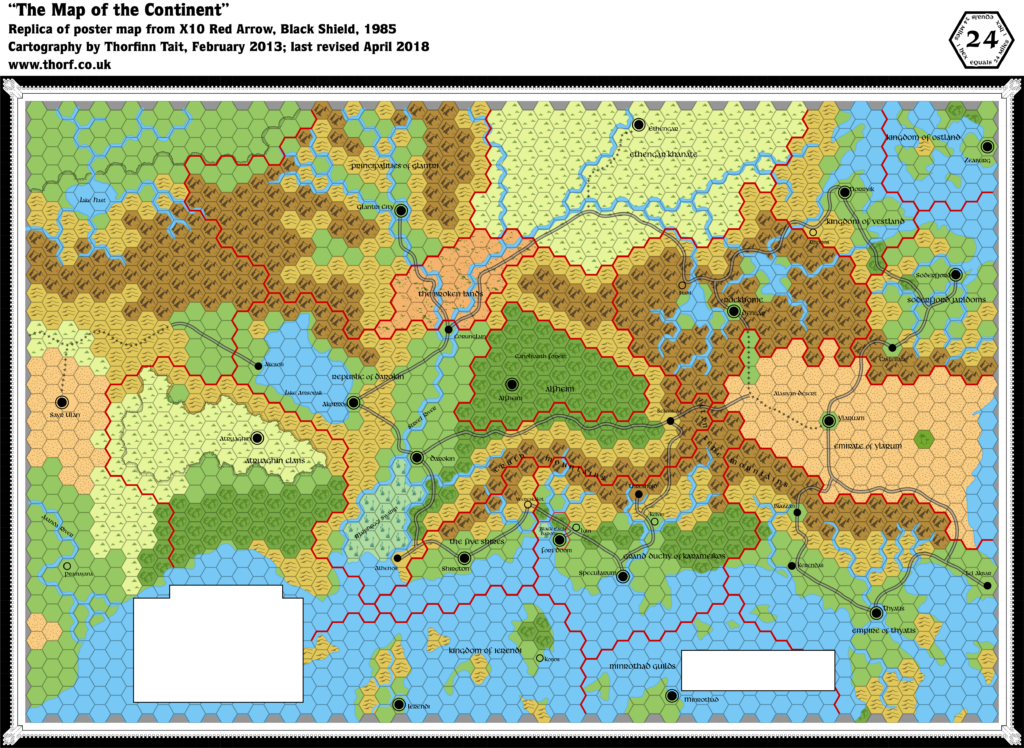
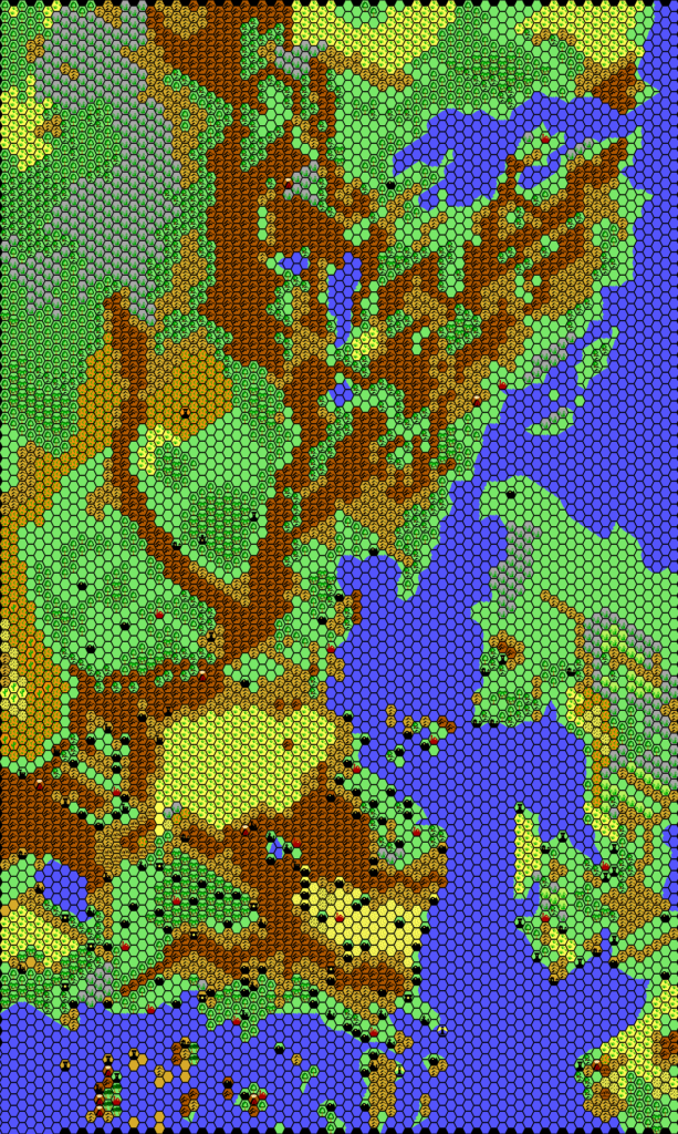
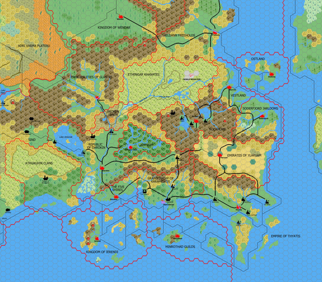
Replica Map (September 2021)
Sources
- X1 The Isle of Dread (1983) (PDF of 1981 edition at DriveThruRPG)
- Map 6 The Continent, pages 16-17 (centrefold)
Chronological Analysis
This is Map 10. It was published in August 1983. The updated version of this map has not yet been released. See also Appendix C for annual chronological snapshots of the area. For the full context of this map in Mystara’s publication history, see Let’s Map Mystara 1983.
The following lists are from the Let’s Map Mystara project. Additions are new features, introduced in this map. Revisions are changes to previously-introduced features. Hex Art & Fonts track design elements. Finally, Textual Additions are potential features found in the related text. In most cases, the Atlas adopts these textual additions into updated and chronological maps.
Additions
- Settlements — Threshold and Kelvin have been added as solid black dots, but there is no entry in the legend to indicate whether this is intended as towns or villages. Referring to the legend for the same book’s Isle of Dread map suggests that they are villages.
Revisions
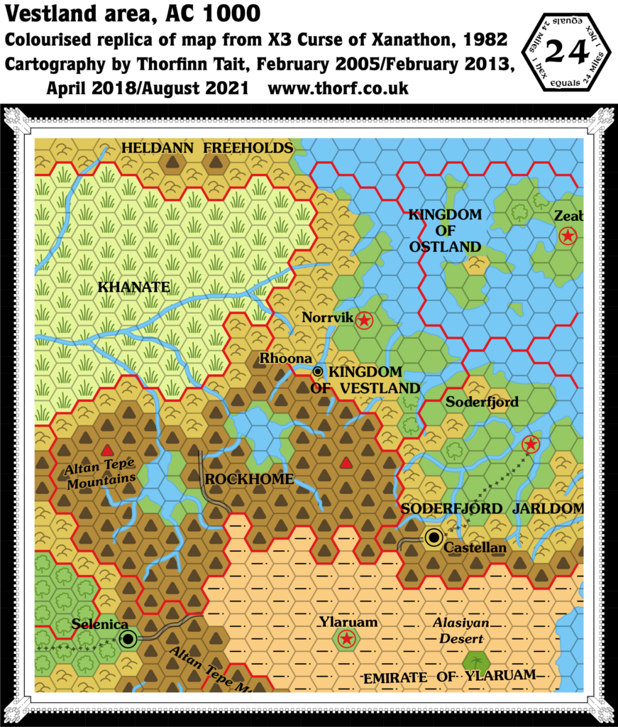
- Coastline — the ambiguous coastlines of Ostland’s western two islands are completely obscured by labels, whereas the 1981 map retained faint outlines of the missing parts.
- Islands — the small island south of Thyatis is half obscured by the Legend.
- Nations — Alfheim and the Principalities of Glantri are now marked correctly on the map. However, Rockhome is now “Rock Home”.
- Trails & Roads — two trails shown on the 1981 version of this map are now gone.
Hex Art
- Fonts — Baskerville.
- New Symbols — Desert (not new, but labelled in the Legend for the first time here).
Textual Additions (X1 1983)
Only additions not present in X1 1981 are listed. For the original Textual Additions, see X1 1981 Known World, 24 miles per hex.
- Nations — even though the map now has “Rock Home”, the text continues to use “Rockhome”. (p. 4)
Join in the Discussion at The Piazza
Come and join in the discussion about this map at The Piazza, where I am holding a “read through” of the Let’s Map Mystara project.

